
Travelogue June 10 to August 3, 2026Victoria, B.C., Canada to Rarely Visited Pacific Islands: Samoa, Tonga, Vanuatu, Solomon Islands, Palau, Guam, Marshall Islands, Federal States of Micronesia, Nauru, Kiribati, Tuvalu, and Niue via Fiji, Papua New Guinea, the Philippines, Hawai'i, and New ZealandPart I: Victoria to GuamWednesday, June 10 to Friday, June 12, 2026: Victoria, B.C. Canada (48.4283° N, 123.3647° W) to Apia, Samoa (13.8316° S, 171.7689° W) via Sydney, Australia and Auckland, New Zealand 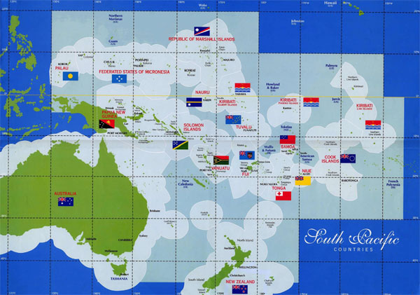 The itinerary for this trip, arranged through a local BC (and California) travel company called Adventures Abroad, says for today: “The Pacific's morning light breaks across Samoa as we arrive in Apia, where the rhythm of fa'a Samoa - the traditional Samoan way of life - still pulses through villages unchanged for centuries. This archipelago serves as Oceania's cultural storehouse, where oval fales dot landscapes much as they did when Robert Louis Stevenson chose these islands as his final home in 1889. Each South Pacific island group carries its own history, culture, and language, yet common threads unite them - indigenous peoples descended from epic migrations spanning millennia, traditions that evolved in isolation yet share remarkable similarities. Nowhere are these variations more evident than in the dozens of Polynesian dialects that greet visitors across this vast oceanic realm. Oceania's diverse nations harbour some of the world's most remote and culturally isolated villages, connected not by land borders but by the vast Pacific itself.” OK, so enough with the flowery language, no doubt provided by AI. I actually arrived at my final destination today - after taking various buses and a ferry to Vancouver from Victoria, and then transiting through Sydney, Australia and Auckland, New Zealand airports - post sunset, so did not see the morning light break.
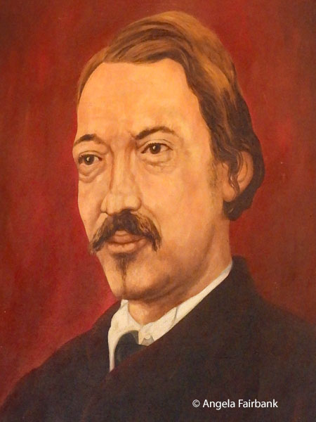
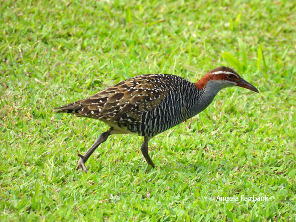
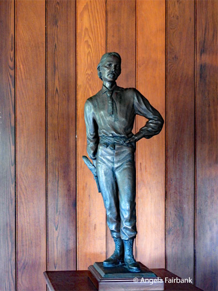
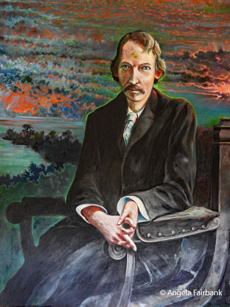
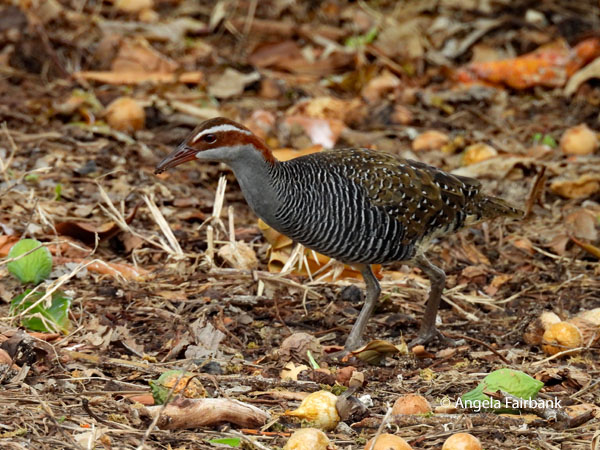
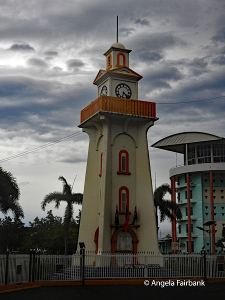
Nonetheless, my three flights progressed smoothly without incident. I was interested to learn that Air Canada's Vancouver to Sydney flight was the second longest out of Vancouver - for a distance of 7,776 miles (12,514 km) - after Singapore at 7,965 miles (12,818 km), which I have done before. Luckily, I had been able to use my e-upgrade vouchers for a Business Class seat, so was able to sleep for most of the fifteen and a half hours. The NZeta was not necessary for my transit through Auckland this time, and I filled out the entry form for Samoa on the Air New Zealand plane. I was paged on my arrival at the gate for my flight to Apia, Samoa, as the airline staff there had to check that I had a physical ticket out of Samoa, otherwise I would not have been allowed to board the plane, I was told. It's a good thing I had thought to print out my tickets for this complicated island-hopping journey, which I had booked a year ago. After changing some crisp new USD into Samoan dollars on my arrival in Apia's airport, I then waited in line to get my passport stamped for my 150th UN country before fetching my suitcase from the baggage carousel. Then, on entering the arrivals hall, I was inundated with taxi drivers wanting my custom. I chose one at random, asked him the price and the length of the journey to my hotel, and learned from him about the politics, the education, medical services, and a partial history of the island-nation. Driving had been on the right, like the USA, until 2009, when it was switched to the left. The head of the government (since 2017) is called the Head of State, not President, not Prime Minister, and not King, despite having the official title of His Highness Tuimaleali'ifano Va'aleto'a Sualauvi II. After about a 45-minute drive in the dark, I was deposited at my hotel, where I was informed I was sharing a room with an American woman, a high school Spanish teacher from California's Silicon Valley. Interestingly enough, she had once contemplated studying translation at Monterey (like I had) but opted for teaching instead. Our tour leader, Chris (a 50-something-year-old Canadian who now calls Niagara Falls his home, although he had lived in Vancouver for five years, working as a music manager), had stayed up to meet me on my arrival because everyone else on the tour (we are twelve in all: a mixture of Brits and North Americans, with Chris and me being the only Canadians, although two of the Americans are originally Walloons from Belgium) had arrived before dinner. Our group consists of four couples, and four travelling singly. Saturday, June 13, 2026: Samoa, the Navigator Islands The Independent State of Samoa is an island country in Polynesia, which is part of Oceania, in the South Pacific Ocean. It consists of two main islands (Savai'i and Upolu, on which the capital and largest city, Apia, is located), two smaller, inhabited islands (Manono and Apolima), and several smaller, uninhabited islands, including the Aleipata Islands (Nu'utele, Nu'ulua, Fanuatapu, and Namua). Samoa is located 64 km (40 mi; 35 nmi) west of American Samoa, 889 km (552 mi; 480 nmi) northeast of Tonga, 1,152 km (716 mi; 622 nmi) northeast of Fiji, 483 km (300 mi; 261 nmi) east of Wallis and Futuna, 1,151 km (715 mi; 621 nmi) southeast of Tuvalu, 519 km (322 mi; 280 nmi) south of Tokelau, 4,190 km (2,600 mi; 2,260 nmi) southwest of Hawai'i, and 610 km (380 mi; 330 nmi) northwest of Niue. The Lapita people discovered and settled on the Samoan Islands around 3,500 years ago, developing a Samoan language and Samoan cultural identity. Because of the Samoans' seafaring skills, pre-20th-century European explorers referred to the entire island group, including American Samoa, as the Navigator Islands. The country became a colony of the German Empire in 1899 after the Tripartite Convention and was known as German Samoa. German administration ended in August 1914 after New Zealand troops bloodlessly occupied the colony at the start of World War I. New Zealand officially gained control of the region as a League of Nations mandate in 1920, when it became the Territory of Western Samoa. After being converted into a United Nations Trust Territory in 1946, Western Samoa gained independence on January 1, 1962, and officially returned to its original pre-occupation name of Samoa on July 4, 1997. A unitary parliamentary democracy with eleven administrative divisions, Samoa was admitted to the United Nations on December 15, 1976. It is also a member of the Commonwealth of Nations, the Non-Aligned Movement, and the Pacific Islands Forum. The island's defence is the responsibility of the New Zealand Defence Force. Samoan (Gagana Fa'asāmoa) and English are the official languages. Including second-language speakers, there are more speakers of Samoan than English in Samoa. Samoan Sign Language is also commonly used among the deaf population of Samoa. To emphasize the importance of full inclusion with sign language, elementary Samoan Sign Language was taught to members of the Samoa Police Service, Red Cross Society, and the public during the 2017 International Week of the Deaf. I had been scheduled to arrive in Apia, Samoa on December 12, 2012 on Ocean Princess, but due to a tropical storm of cyclonic proportions called Evan, our captain was forced to divert course and we spent the day at sea instead much to my chagrin. After a short briefing by our Canadian tour leader, Chris, at the hotel pool, where I was distracted by colourful birds, we all said Talofa (hello) to our enigmatic local tour guide, Rodney, and driver, Joe, both of typical Samoan proportions (might one even say 'traditionally built' à la Alexander McCall Smith?), and piled into a small bus to be driven to the German flag raising site of March 1, 1900, the first Catholic missionary's landing, and the round Parliament House, where independence had been declared, opposite the Supreme Court on a large plot of otherwise barren land. We were introduced at this point to the Samoa flag, designed by village women, where red stands for courage, blue for faith, and the five yellow stars for the Southern Cross. We then stopped at another monument by the sea, where I was more interested in capturing this baby bird in a nest, some Samoan crabs (aka mangrove or mud crabs Scylla serrata) on the rocks near the water, and various birds, including what I thought was a much prized Many-coloured Fruit Dove (Ptilinopus perousili), locally known as Manuma, but due to the fact that it was a long shot under less than satisfactory lighting conditions and there is a definite purple marking on its forehead, it is more likely a Crimson-crowned or Purple-capped Fruit Dove (Ptilinopus porphyraceus), known locally as Manutagi, which is just as exciting (at least to me) as it is considered one of the rarest and most elusive birds in the Samoan archipelago. I learned that there are 82 bird species in Samoa, of which ten are endemic, five have been introduced and 23 are rare or accidental. Seven are under threat globally. 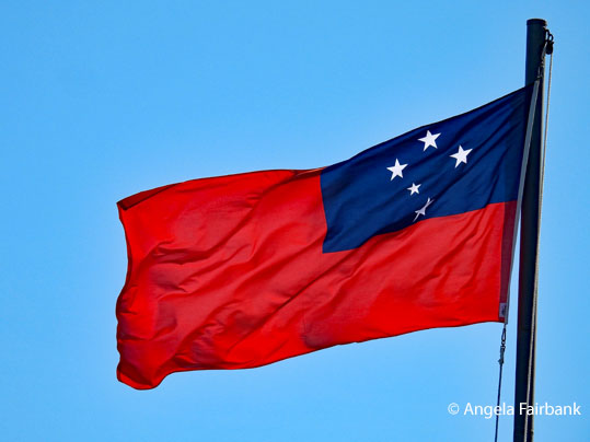 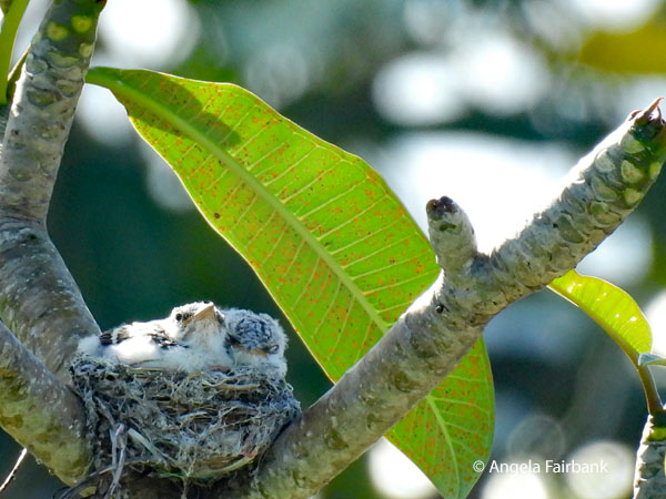 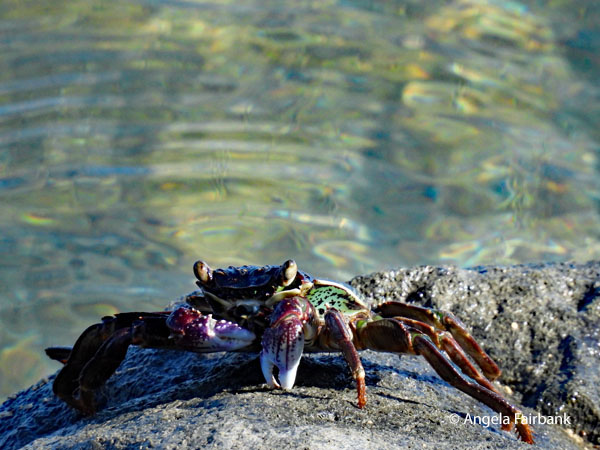 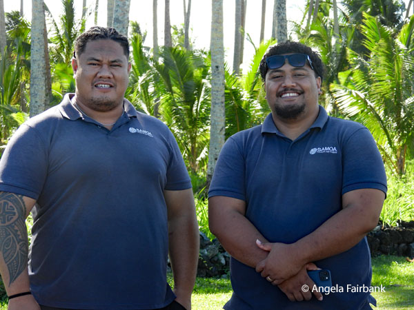 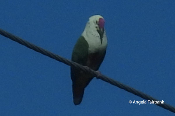 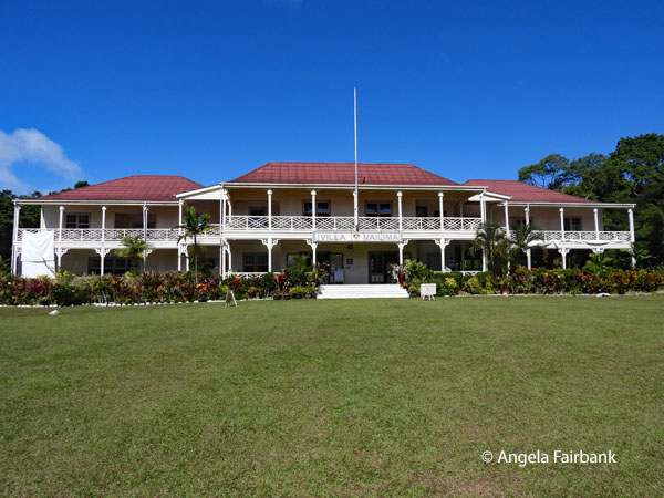 Our next stop was at Robert Louis Stevenson's 314-acre estate and home, Villa Vailima, with its five bedrooms and library, as well as the only working fireplace in Samoa. After RLS's death, it was used subsequently as the official residence of the governor of German Samoa, the New Zealand territorial administrator, and the Samoan head of state. It is now a museum, displaying artifacts, books, and furniture from his Samoan years (January 1890 until his sudden death on December 3, 1894), when he became known locally as Tusitala (teller of tales). The author of Treasure Island wrote some of his finest works while embracing Samoan culture and as a result, chiefs granted him the rare honour of burial (with his boots on) on Mount Vaea. Quite a number of buff-banded rails (Gallirallus philippensis) were walking on the extensive estate lawns. Perhaps the most interesting artifact for me was, according to the writing on said artifact, “The New Slipper Bed Pan. This Slipper should be passed under the patient in front between the legs. If a flannel cap is made for the blade fastened by strings under the handle, considerable comfort will be afforded.” Say what now?
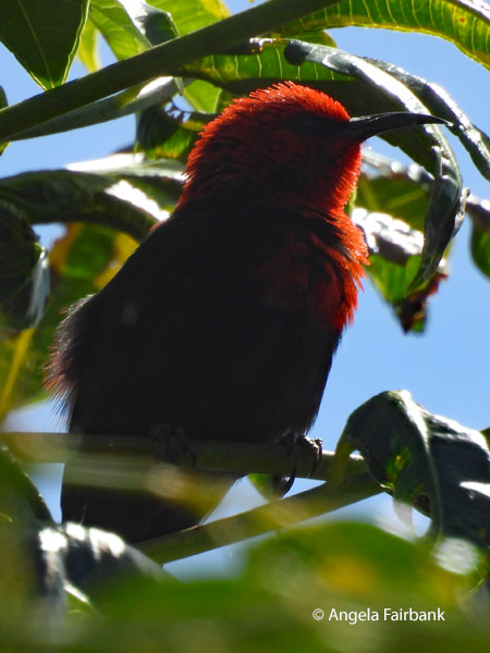
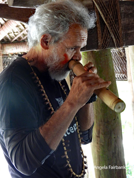
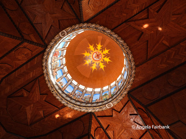
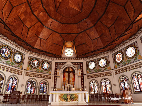
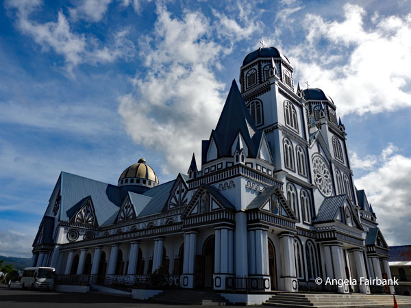
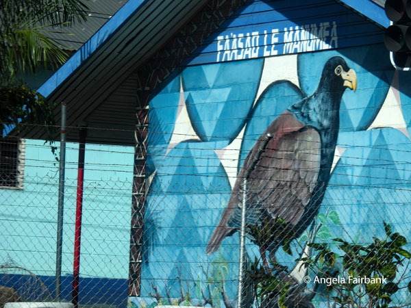
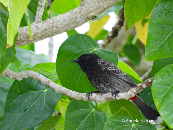
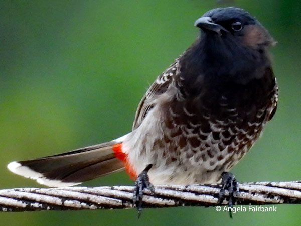
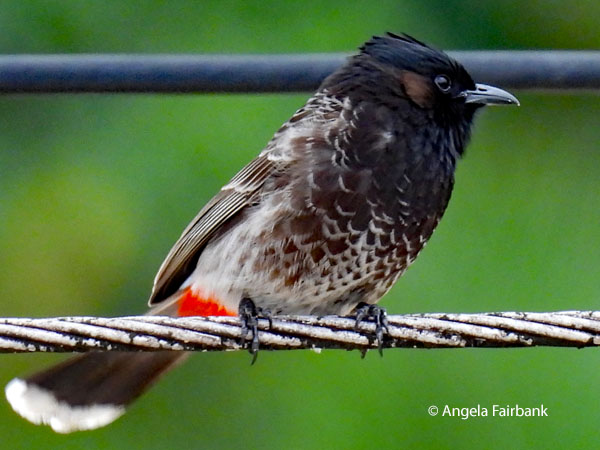
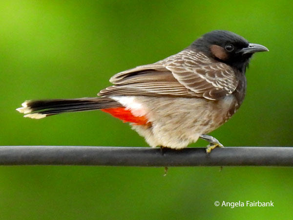
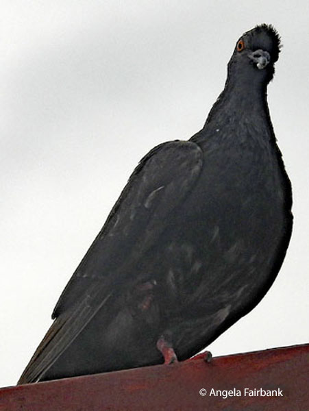
    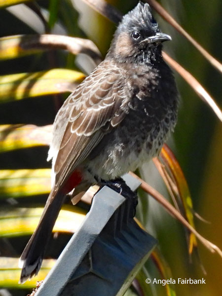 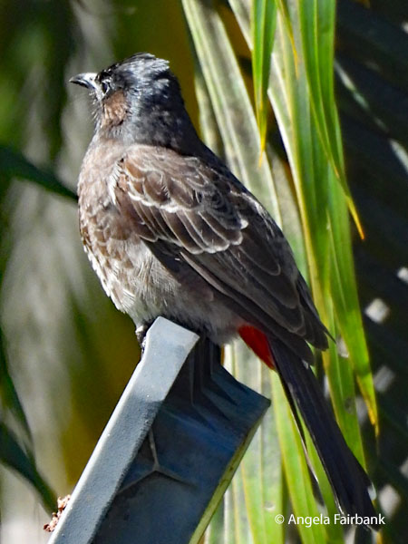 After visiting a Baha'i temple, one of only eight continental temples of its kind in the world, in 22 acres of lush gardens containing this Red-vented Bulbul (Pycnonotus cafer) en route, we next moved to a coffee-shop cum artist gallery where we waited while another tour group was shown some cultural dancing and singing in a fale, during which I captured this Samoan Myzomela (Myzomela nigriventris), and kept looking out for the elusive Many-coloured Fruit Dove in the trees. Unfortunately, by the time it was our turn for the cultural display, it was lunch time for the dancers and singers, so instead, the non-Samoan owner of the premises demonstrated the Samoan nose flute to us. Our last stop before returning to our hotel was the beautiful Catholic Immaculate Conception Cathedral. The final image for today is a mural of the national bird of Samoa, the critically endangered Tooth-billed Pigeon or Manumea (Didunculus strigirostris), the only living species in its genus and interestingly enough considered a close relative of the extinct Dodo.
      Sunday, June 14, 2026: Aleipata Districts & East Coast, Samoa
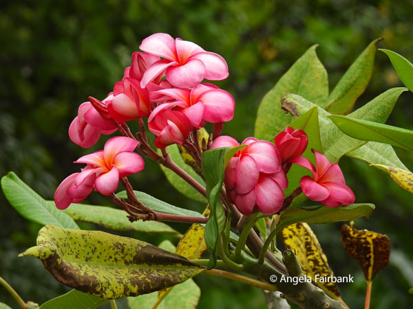
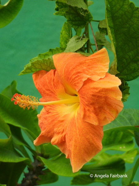
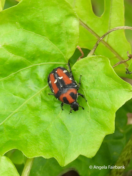
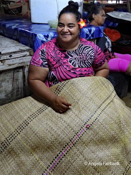
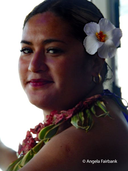
Today's tour continued through the island of Upolu and its Cross Island Road south through traditional villages. Our first stop was Papapapaitai Falls, guarded by a friendly dog and complete with a rainbow due to the light shower we had experienced. We then drove to a second set of falls on the Mataroa River, called Togitogiga (pronounced Tongitonginga) Waterfall, containing a pool where people could bathe. Our third stop was yet another set of falls called Sopoaga Falls, complete with another rainbow, where we were also given a demonstration by our driver Joe on how to open a coconut to find its juice, and then scrape off the flesh inside and sieve it to make coconut milk. Then, as we admired the tattoos on his body and arms, we were taught how to make a typical coconut-husk fire, on which Samoan men roast their many species of carbohydrate-rich, starchy vegetables, such as taro, breadfruit, green bananas, yam, and tapioca, often cooked in coconut milk. The traditionally-built woman you see here with the flower in her hair was the Falls ticket seller. 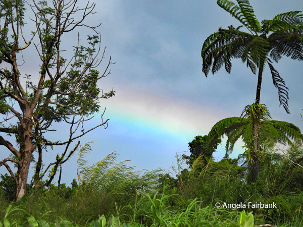 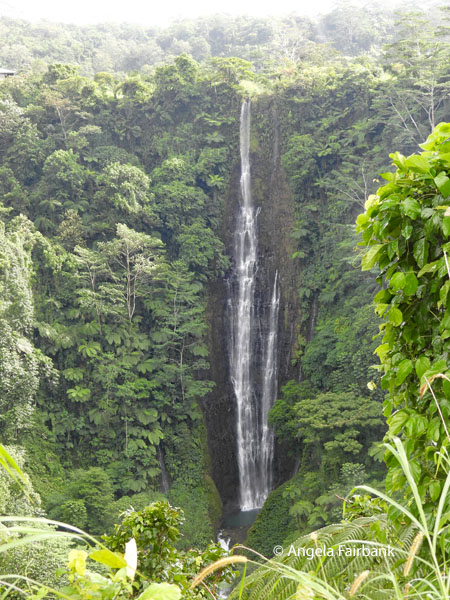 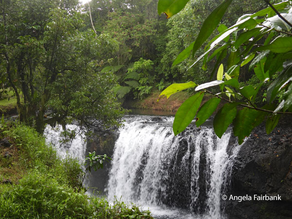 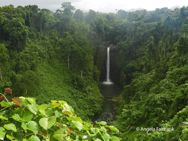 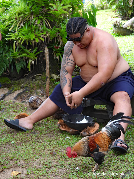 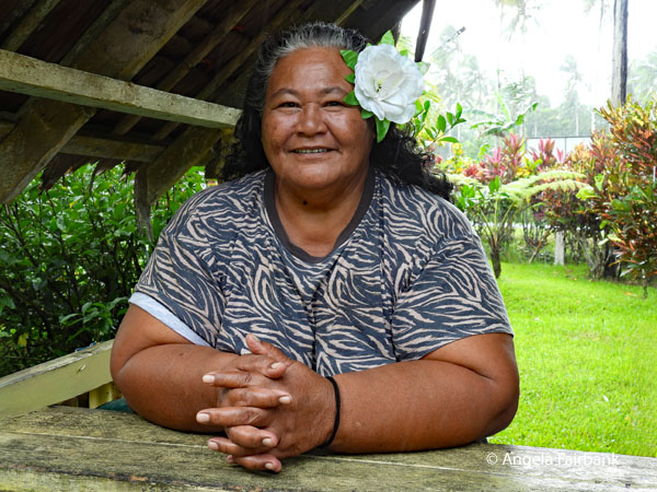 Arriving midday-ish at Lalamanu Beach, we were presented with a traditional umu-earth-oven-cooked lunch, containing taro, a seafood dish in coconut, two types of chicken, carrots, spinach, and papaya. As the sky was clouded over and the water not very inviting to me, I took a walk along the road to photograph more red-vented bulbuls, a buff-banded rail, this curious Flower Chafer Beetle (Oxycetonia versicolor), and various flowers. One tenacious dog was particularly annoying, barking at me from its house until its owners told it to stop.
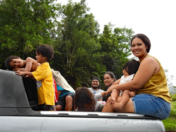
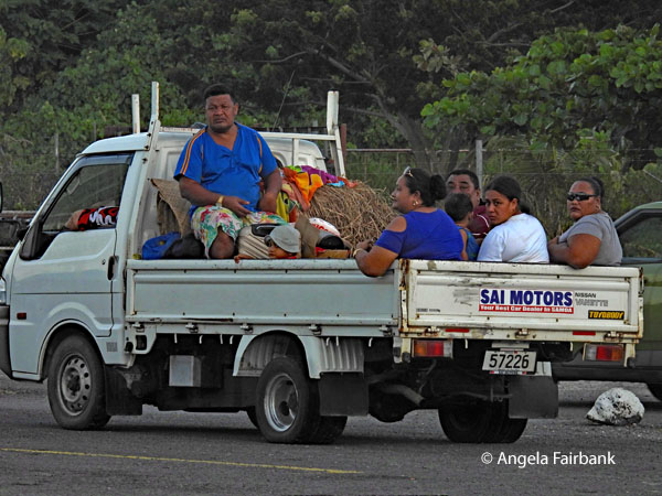
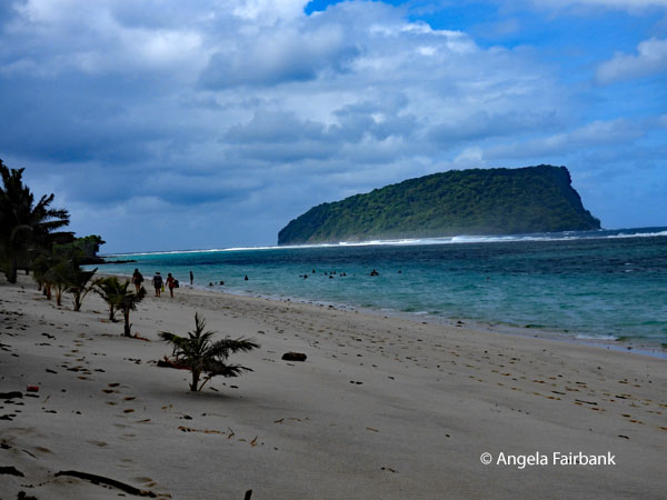 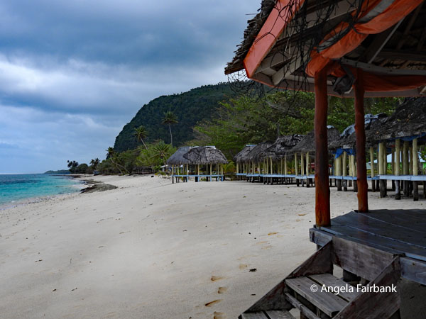    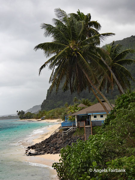 After our beach visit, we drove to a spot 518 metres (1,700 feet) above sea level, where Le Mafa Pass afforded us with some panoramic views, and I took time to talk to a truckload of young people, consisting of two families with children ranging from 11 years to 2 months. Winding down through blossom-filled Falelatai village, winner of the National Beautification Competition in 2010, we arrived back at our hotel and ended our day with dinner at the hotel restaurant that included churros for dessert.
      Monday, June 15, 2026: Savai'i Island, Samoa
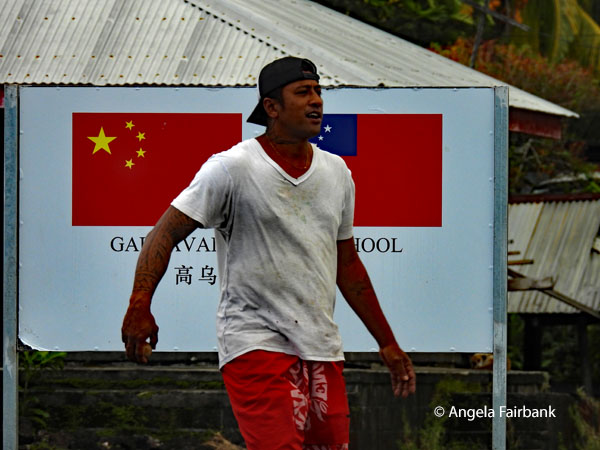
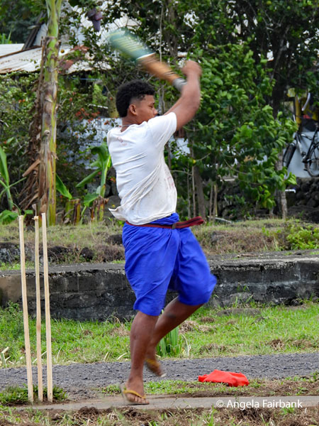
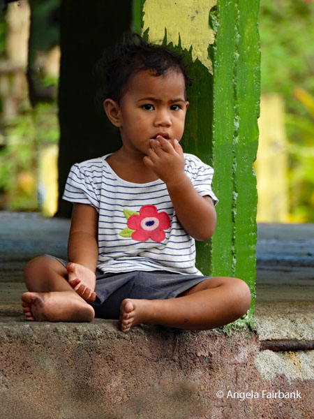
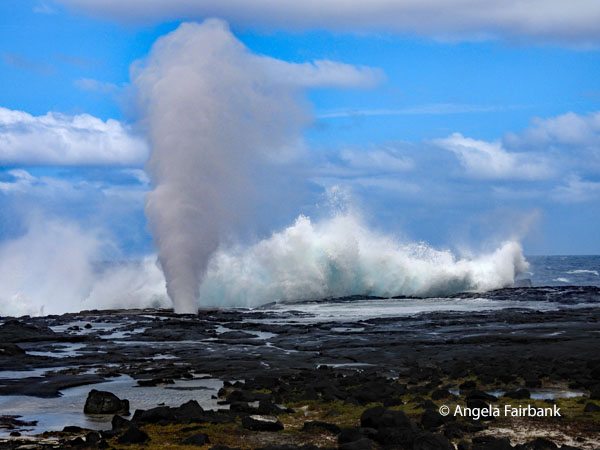
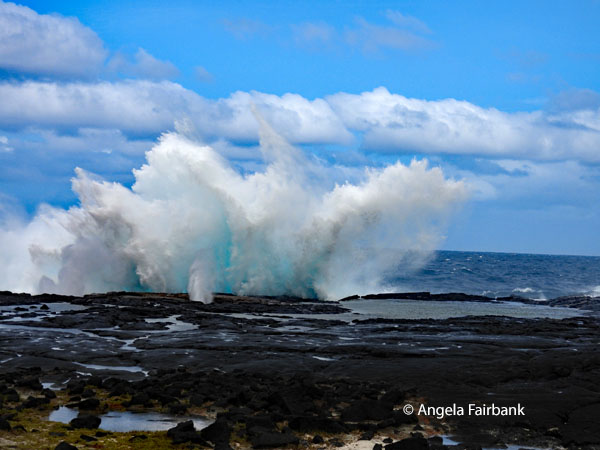
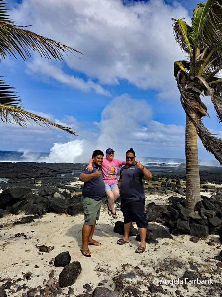
This morning, we had an early wake up call and grabbed a boxed breakfast from the hotel so as to catch the 90-minute ferry at 8:00 a.m. to Savai'i, Samoa's largest but less populated island, from the pier at Mulifanua. We stopped for coffee and toilets near the ferry before continuing on our way to the island's fresh produce market, which included taro, breadfruit, and handicrafts. I bought a bracelet and two pareos as they were so reasonably priced. I did not bargain at all. The vendors were friendly and many were happy to have me photograph them. 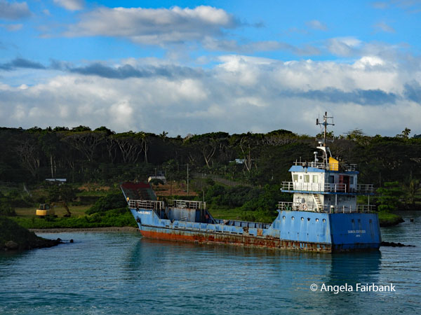 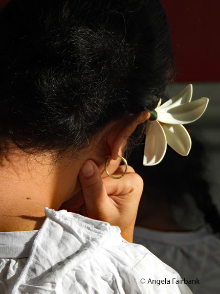  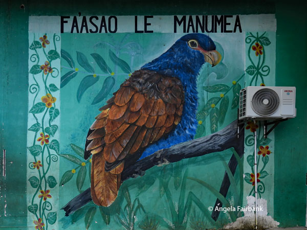 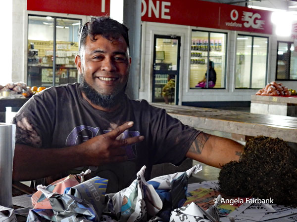 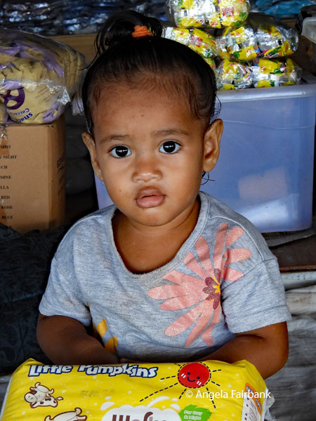 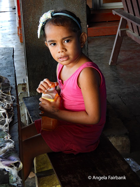 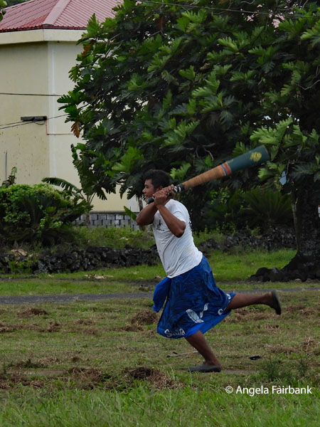 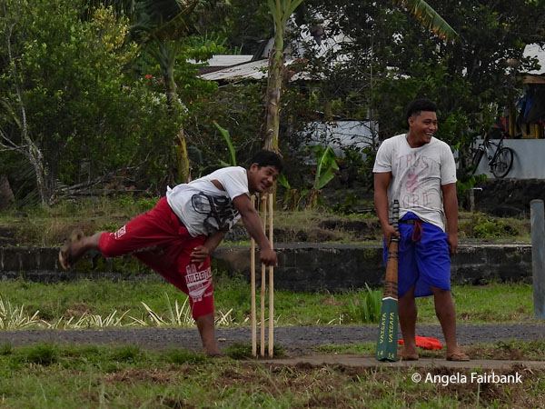 Continuing on our way, we stopped momentarily to observe and photograph a casual game of kilikiti, Samoa's version of cricket, played here by these young men in their blue or red team lavalavas (fabric wrapped around the waist) in the grounds of a primary school funded by the Chinese government. We then stopped at the Alofa'aga Blowholes to watch the sea spray up as we stood among coconut trees. It was here that I took up Joe and Rodney's offer to pose with them as they carried my weight. Given their size and height, I looked quite small and slim by comparison!
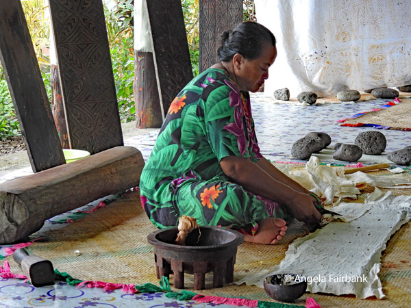
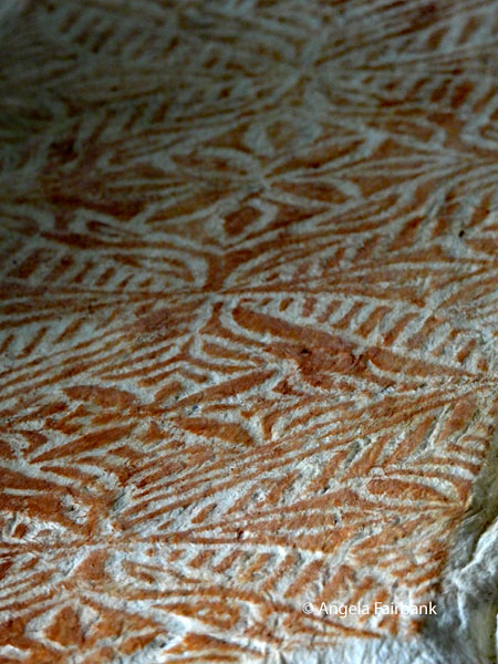
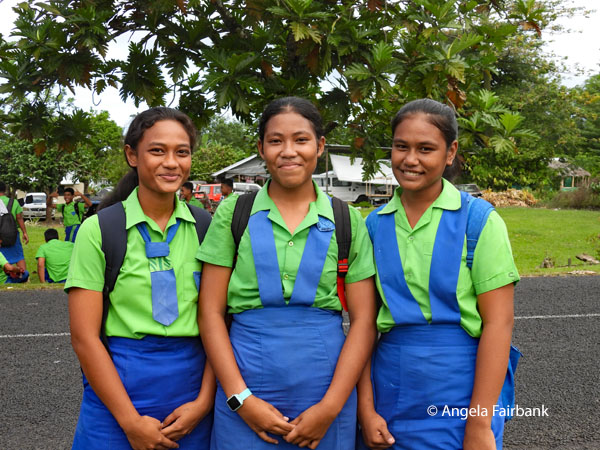
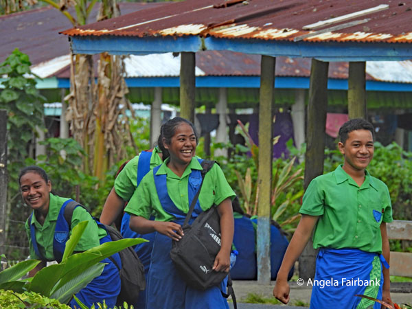
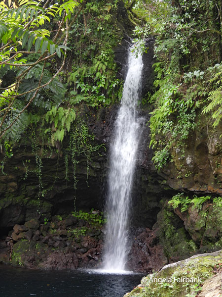
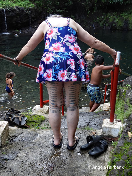
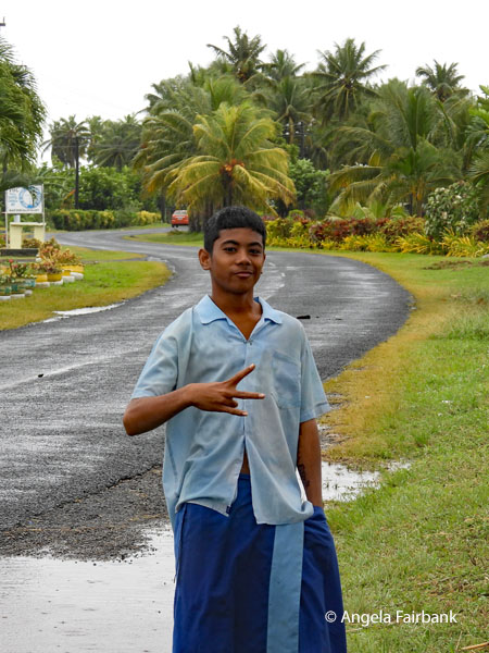
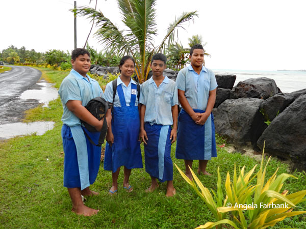
      Our lunch - also boxed - was had at a complex offering a Siapo (aka Tapa) demonstration - textile art and a symbol of Samoan culture, made with the inner bark of mulberry trees, which is stripped, dried, beaten, the holes patched with glue made from a fruit or vegetable I forget exactly, and then decorated with meaningful patterns using dye on carved wooden boards and finally painted. They can be used for clothing, wallpaper, art, etc. As we came out of the complex, high school children were emerging from the school across the road in their uniforms. Our final stop was, surprise, surprise, waterfalls (called Afu Aau) flowing into a natural swimming hole, where several of the group swam and where we met a young couple from the south of France. I was given permission to photograph this Samoan woman's leg tattoos as she climbed into the natural pool to swim. After returning to Apia via the ferry, we had a late dinner at a windy restaurant by the water and then, due to the long day, pretty much fell straight into bed.
        Tuesday, June 16, 2026: Manono Island cancelled due to rain and wind, Samoa
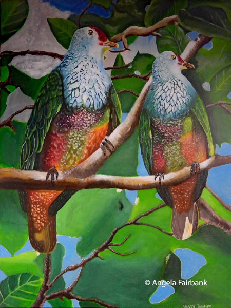
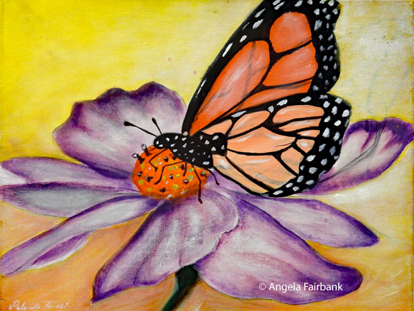
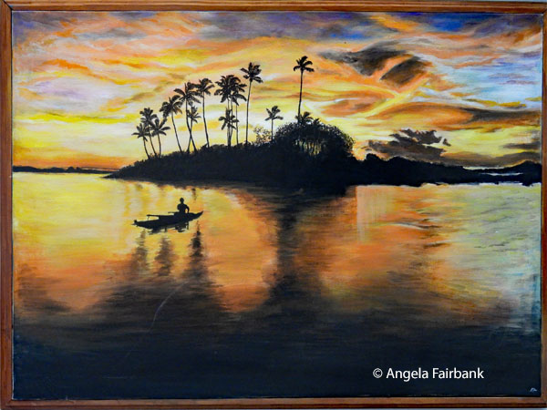
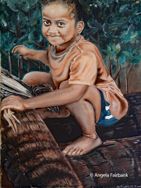
We were supposed to go to the island of Manono today to experience unspoiled life in a village, but there was so much wind and rain that the island was flooded and visibility compromised. We therefore renegotiated our day with the village chief, who had come over to greet us, and instead of ourselves being transported in fishing boats to the island, risking a soaking as we walked along the paths where no cars and no dogs were permitted, the islanders brought our lunch to us and served it in a basic, resort-like hotel near the port. As we waited for the food to be brought over to us, we were served complimentary drinks and taro fries. 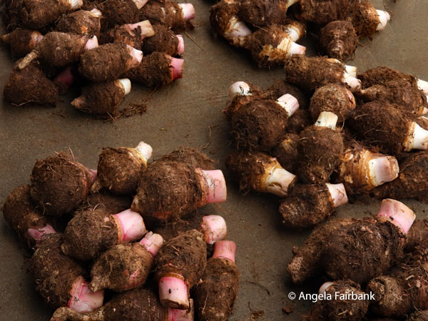 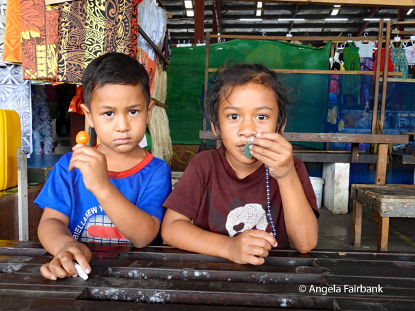 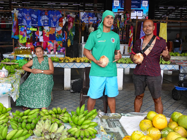 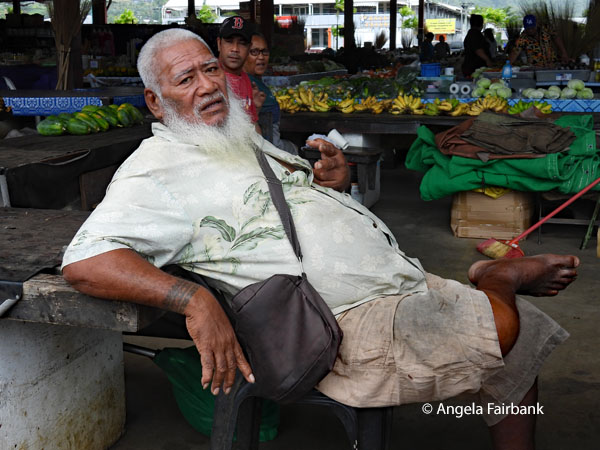 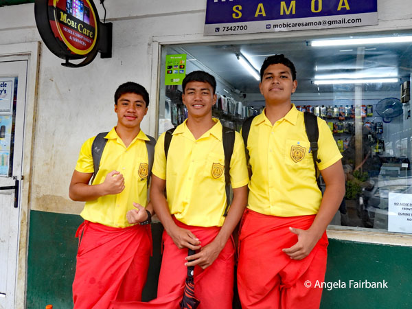 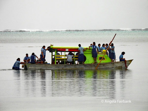 On the way to the port, while it was still dry, we visited a local market, possibly called Fugalei, where I took a few photos but bought nothing. After lunch as we still had some time to kill, we visited an art museum cum school of fine arts belonging to the Church of the Assembly of God school, abbreviated EFKS in the Samoan language. Consequently, all the artists were students. We were permitted to take photos of their artwork, some of which you will see here. Portraits made from photographs were especially outstanding.
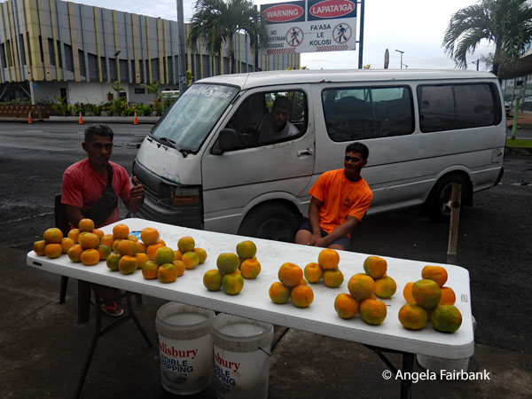
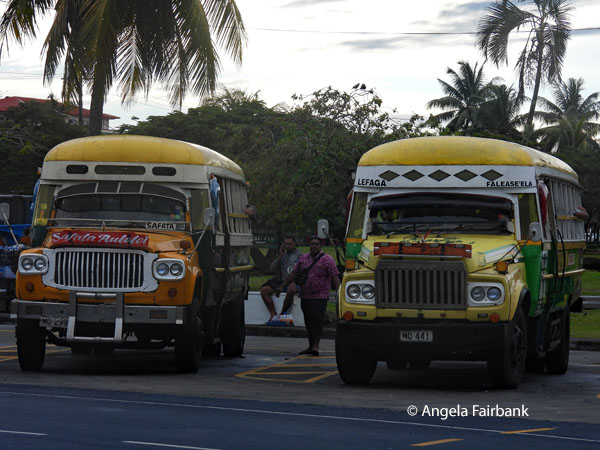
  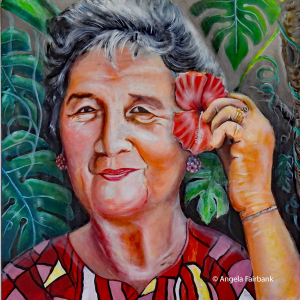 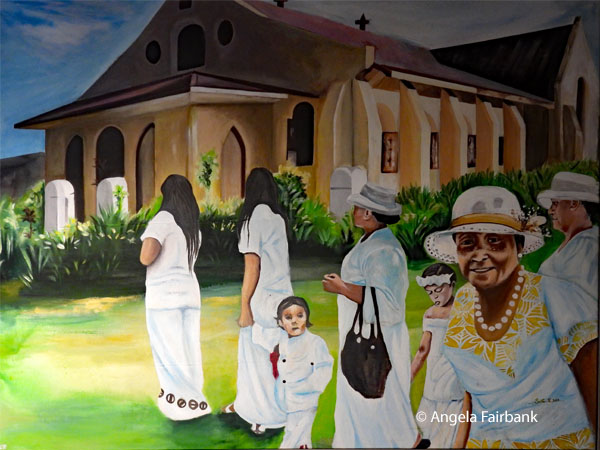 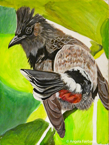 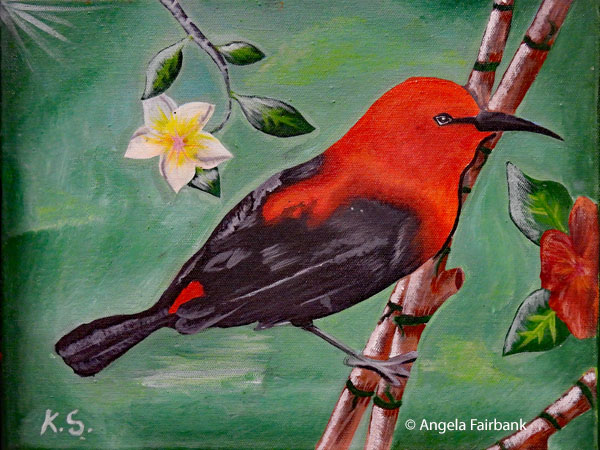    After we were dropped off at the hotel and had said Fa'afetai (thank you) and Tôfâ soifua (goodbye) to Rodney and Joe, my roommate and I walked around town and visited stores containing higher quality souvenirs than what we had seen at the markets. One in particular, called Janet's, had some lovely bags, fabrics, pictures, and jewelry. However, learning that they also had a store at the airport, we decided to wait until tomorrow as we would have some time to kill as we waited for our flight to our next destination.
     Wednesday, June 17, 2026: Apia, Samoa to Nuku'alofa, Tonga (21.1790° S, 175.1982° W) via Nadi, Fiji
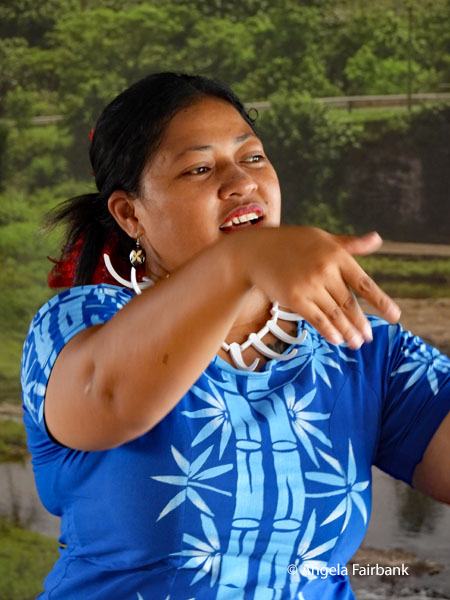
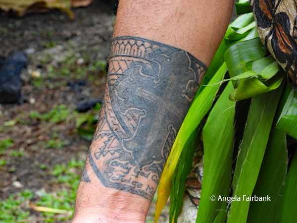
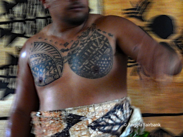
This morning we had free time so about five of our group went out to the local cultural show (also attended by a group of cruise ship passengers - mostly Chinese and/or Japanese but also French, Polish, Australians, New Zealanders, and Canadians from NCL's Norwegian Spirit). First, we were taught how to weave baskets and plates using palm tree fronds. Next, some musicians played (guitarist and keyboardist), and then three men and three women in costume danced to recorded music for about four pieces. Some of my photos display the traditional tattooing worn by the men, so perhaps this is the right place to introduce it. 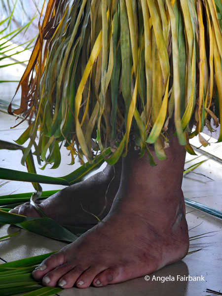 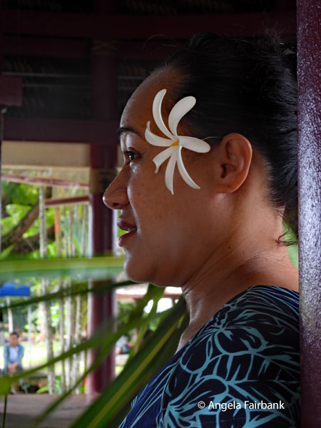 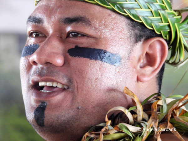 According to Wikipedia “Pe'a, or malofie, is the traditional male tattoo of Samoa. It covers the body from the waist to the knees and consists of perfectly symmetrical heavy black lines, arrows, and dots... The tools (au) were originally made of bone or sharpened boar husk, cut into a comb style with serrated teeth shaped like needles. It was then attached to a small patch of sea turtle which was connected to a wooden handle. In the 1830s, English missionaries attempted to abolish the pe'a by banning it in missionary schools. The purpose of this was to westernise the Samoans, but during the time that tattooing was banned, it was still done in secret. Because of this, Samoa has managed to retain its traditional tattoos in modern times, although it is done to a much lesser extent than it used to be...The pe'a covers the body from the middle of the back to the knees. The word tattoo in the English language is believed to have originated from the Samoan word tatau or the 'tattowing' as Captain Cook's sailors called it.
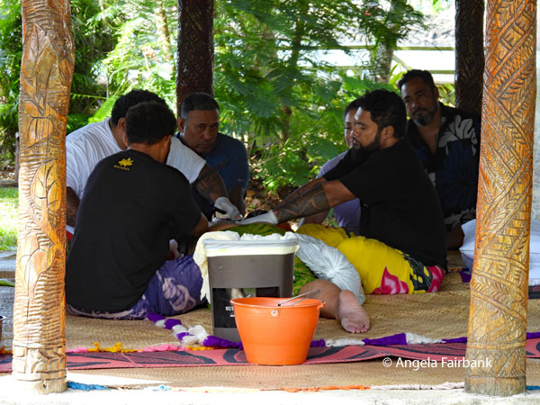
“The tatau process for the pe'a is extremely painful, and undertaken by tufuga ta tatau (master tattooists), using a set of handmade tools: pieces of bone, turtle shell and wood, [and] work[ing] with two assistants, called au toso, who are often apprentice tattooists and ... stretch the skin, wipe the excess ink and blood, and generally support the tattooist in their work. The process takes place with the subject lying on mats on the floor with the tattooist and assistants beside them. Family members of the person getting the tattoo are often in attendance at a respectful distance, offering words of encouragement, sometimes through song. The pe'a can take less than a week to complete, or, in some cases, years. 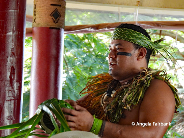 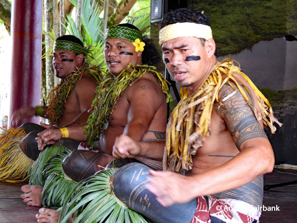 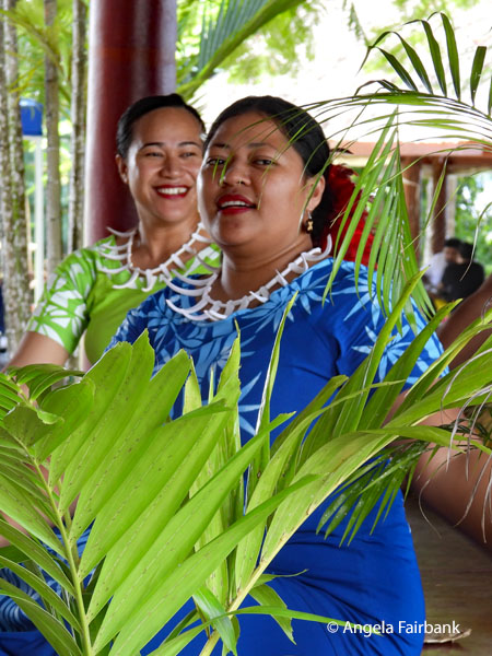 “The ink colour is black. The tattoo starts on the back and finishes on the navel. Overall, the design is symmetrical with a pattern consisting mainly of straight lines and larger blocks of dark cover, usually around the thighs... Traditional Samoan tattooing of the pe'a body tattoo ... used to be a prerequisite for receiving a matai title; however, this is no longer the case. Tattooing was also a very costly procedure, the tattooer receiving in the region of 700 fine mats as payment. It was not uncommon for half a dozen boys to be tattooed at the same time, requiring the services of four or more tattooers. It was not just the men who received tattoos, but the women too, although their designs are of a much lighter nature, resembling filigree rather than the large areas of solid dye frequently seen in men's tattoos.”
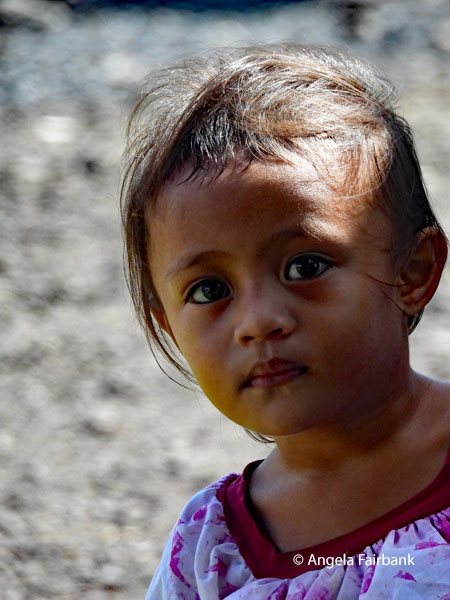
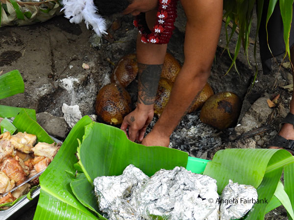
  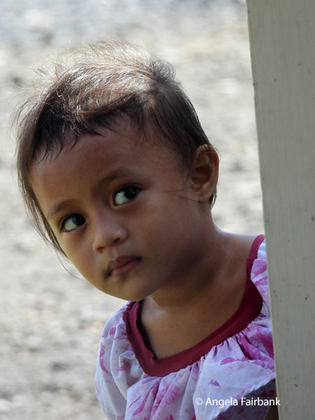 We were then led by one of the male dancers to another part of the complex to lean how they cooked bananas, taro, tuna, and breadfruit in a fire heated by coconut shells and covered in taro leaves. One of them opened up a coconut and made coconut cream. My room mate and I did a bit of window shopping on the way back to our hotel, buying nothing, and then having already checked out of the hotel and left our suitcases outside our room before leaving for the cultural show, we got into our transport to the airport and checked into our flight with Fiji Airways to Nadi (pronounced Nandi), Fiji. I did some shopping at Janet's at the airport and finally bought a small, signed print by Valerie Beale of a Samoan man and woman and a beautifully soft blue t-shirt with the word Samoa on it.
 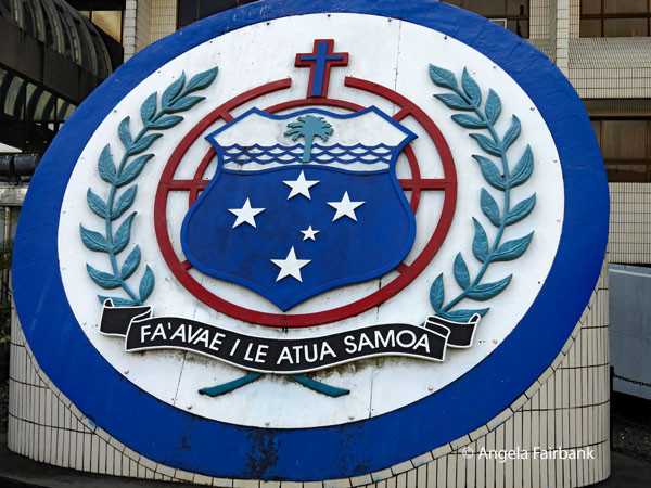 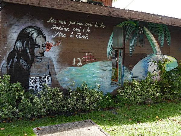 Our two-hour flight to Nadi was uneventful. We were served soft drinks and snacks, and I was able to watch two episodes of the TV medical drama Brilliant Minds. At Nadi airport after getting through a rather long security check for transiting passengers, I was finally able to get out my laptop and work on this travelogue. Our flight to Tonga leaves late tonight, so we will not arrive until early tomorrow.
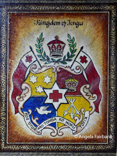
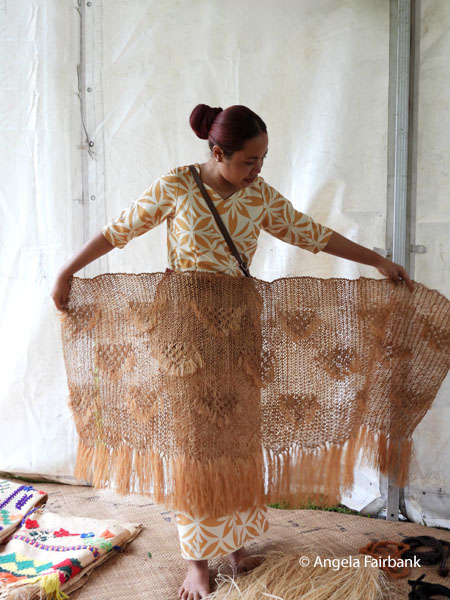
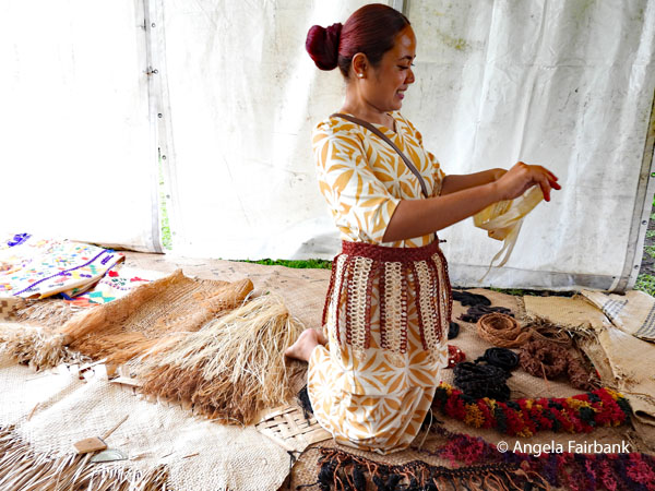
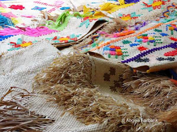
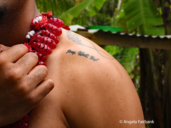
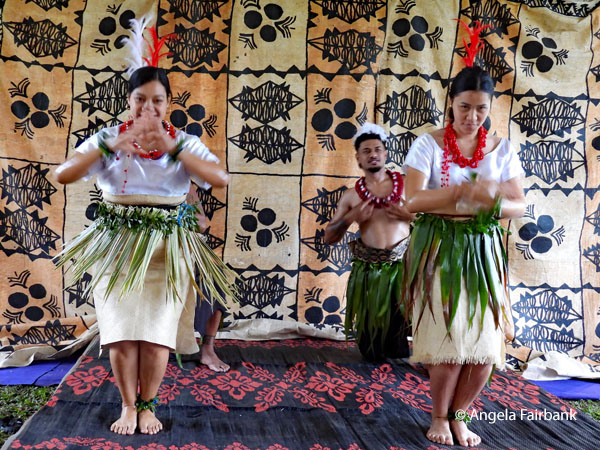
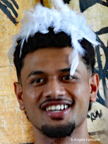
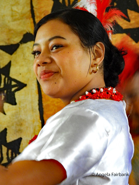
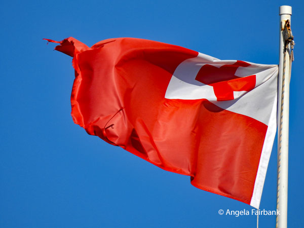
Thursday, June 18, 2026: Tonga, the Friendly Islands The Kingdom of Tonga is an island country in Polynesia and part of Oceania. The country has 171 islands, 45 of which are inhabited. Its total surface area is about 750 km2 (290 sq mi), scattered over 700,000 km2 (270,000 sq mi) in the southern Pacific Ocean. As of 2021, according to Johnson's Tribune, Tonga has a population of 104,494, 70% of whom reside on the main island, Tongatapu. The country stretches approximately 800 km (500 mi; 430 nmi) north-south. It is surrounded by Fiji and Wallis and Futuna (France) to the northwest, Samoa to the northeast, New Caledonia (France) and Vanuatu to the west, Niue (the nearest foreign territory) to the east and Kermadec (New Zealand) to the southwest. Tonga is about 1,800 km (1,100 mi; 970 nmi) from New Zealand's North Island. Tonga was first inhabited roughly 2,500 years ago by people who were a part of the Lapita culture, Polynesian settlers who gradually evolved a distinct and strong ethnic identity, language, and culture as the Tongan people. They quickly established a powerful footing across the South Pacific, and this period of Tongan expansionism and colonization is known as the Tu'i Tonga Empire. From the rule of the first Tongan king, 'Aho'eitu, Tonga grew into a regional power. It was a thalassocracy that conquered and controlled unprecedented swathes of the Pacific from parts of the Solomon Islands and the whole of New Caledonia and Fiji in the west to Samoa and Niue and even as far as parts of modern-day French Polynesia in the east. Tu'i Tonga became renowned for its economic, ethnic, and cultural influence over the Pacific, which remained strong even after the Samoan revolution of the 13th century and Europeans' discovery of the islands in 1616. From 1900 to 1970, Tonga had British protected-state status. The United Kingdom looked after Tonga's foreign affairs under a Treaty of Friendship, but Tonga never relinquished its sovereignty to any foreign power. In 2010, Tonga took a decisive step away from its traditional absolute monarchy and became a semi-constitutional monarchy after legislative reforms paved the way for its first partial representative elections. Tonga is a member of the Commonwealth of Nations, the United Nations, the Pacific Islands Forum, and the Alliance of Small Island States. Tongan, the official language, along with English, is a Polynesian language of the Tongic branch [and thus] closely related to other languages of the Tongic branch, which are Niuean and Niuafo'ouan. Tongan is more distantly related to other Polynesian languages such as Hawaiian, Samoan, Māori, and Tahitian, among others. I was last in Tonga on December 11, 2012, during a cruise on Ocean Princess. We docked in Nuku'alofa, the residence of the present King of Tonga, Tupou VI (born 'Aho'eitu 'Unuaki'otonga Tuku'aho;) who had recently ascended to the throne following the death of his elder brother, King George Tupou V, on March 18, 2012. Nevertheless, I learned, his formal coronation did not take place until July 4, 2015. After being picked up at the airport sans luggage (thanks to Fiji Airways' policy of conserving fuel and flying smaller airplanes and consequently leaving behind hundreds of pieces of luggage as a matter of economics) and taken to our hotel at 3:30 in the morning, we went straight to bed and slept until 8:00 when were regaled with a fairly good breakfast that actually offered yoghurt (we had not been offered any in Samoa) and good coffee. We walked around the hotel complex and did some window shopping before hopping onto our tour bus at 11:00 a.m., meeting our tour guide Male or Mary at a complex called Ancient Tonga with its museum, hibiscus-flower-plant and inner-mulberry-tree-bark weaving demonstrations, kava tasting, plant-remedy explanation, including lemon grass and turmeric, and a below-the-ground umu oven that cooked our lunch of fish, chicken, breadfruit, cassava and taro, while we watched dancing by two girls and two men, one of whom let me take photos of his tattoos. So, what is kava, you ask. It is a ceremonial and recreational beverage made from the root of the Piper methysticun plant and promotes relaxation without impairing cognitive function. It is traditionally served by young women from a large bowl called a kumete into coconut shells.
    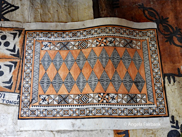 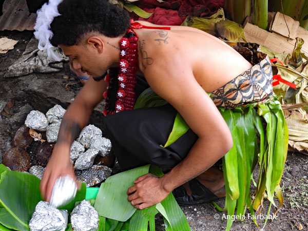 We then left to go to a market for souvenirs (where I bought a Tongan fridge magnet) and back to our hotel, which had limited parking space and thus needed the sign you will find in a photo below that said, “Unless you are driving a Ferrari, can you kindly park across the road.” Another sign by the door said “Guests, please accept our apologies as we ask for your understanding. Unfortunately, there is a shortage of labour in Tonga and the Pacific region. As a result, we reluctantly cannot serve the public. Our restaurants and bars are only open to our in-house guests.”
      As we had to replace some of the supplies that had not arrived with us in our absent luggage, four of us walked to the local Chinese store to replenish toiletries. I then returned to our hotel room to work on my photos and at 6:45, we were taken via taxis to dinner at a restaurant that reminded me of New Orleans and entertained us with CDs of Celine Dion. After our return to the hotel, also via taxi, I worked once again on my travelogue, our luggage still not having arrived despite our having been promised it would.
      Friday, June 19, 2026: Tongatapu Island, Tonga
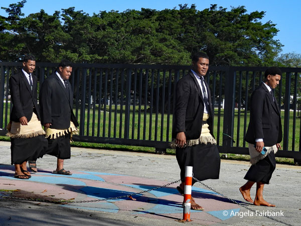
Tongatapu is the main island of Tonga and contains two-thirds of Tonga's population. This morning, we said, Malo e lelei (hello) or Malo a'tau ma'u he pongipongi ni (good morning) and Fefe hake (how are you) to our 23-year-old tour guide Brianna and driver Saia, whom you will see in some of the photos below. Our first two visits around the main island included the Mapu 'o Vaea Blow Holes, which were not quite as impressive as the ones we had seen in Samoa but almost, and Captain James Cook's landing site at the village of Mu'a where he met the reigning Tu'i Tonga in 1777. 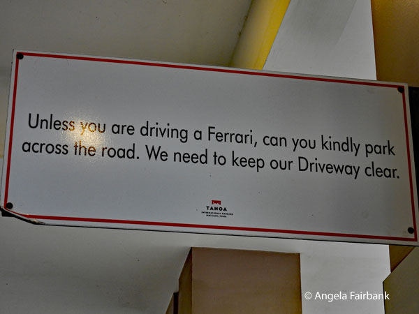 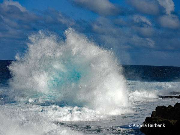 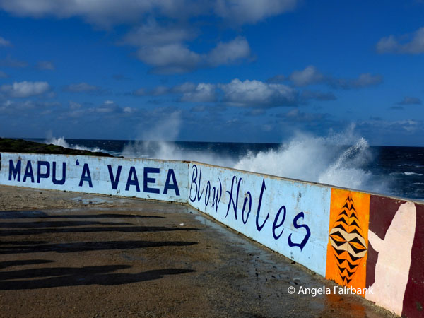 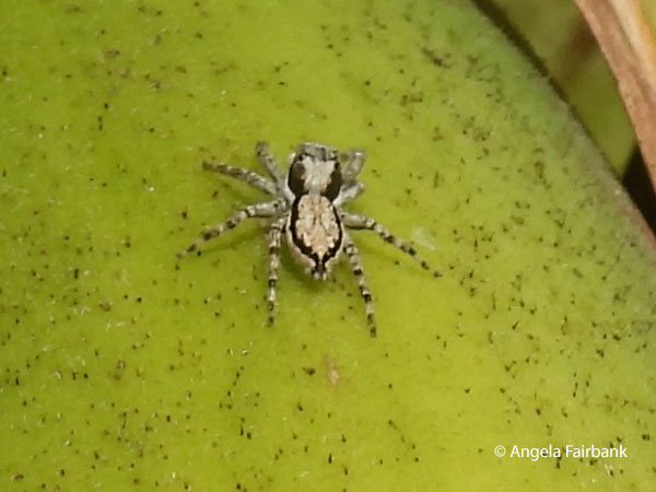 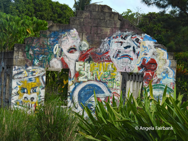 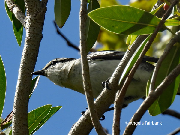 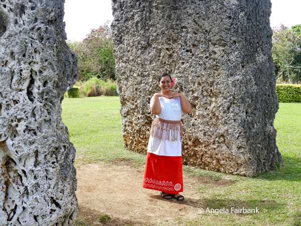 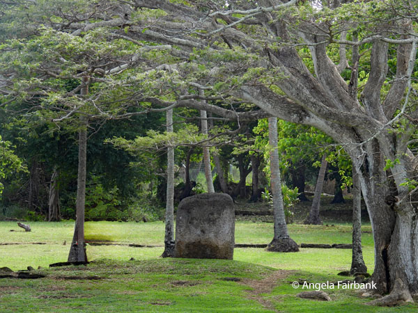 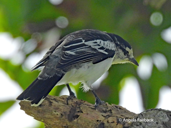 A panel on site explains that “the World-renowned Captain James Cook is recorded in written history and in the oral traditions of Tonga as having visited Tonga three times. First in 1773 when he stopped by 'Eua and Tongatapu where he was impressed when he was 'welcomed ashore by an immense crowd of men and women, none of whom had so much as [a] stick in their hands.' The second time, in 1774, he stopped by Nomuka in the Ha'apai group, where he was sought out by name, which indicated to him the presence of a lively and functioning channel of communication amongst the islands. The hospitality, the courtesy, and the non-warlike nature of the islanders in the Ha'apai group, particularly at Lifuka, had consequently earned the group the name of the Friendly Islands. These first visits were brief. His [third] visit [in 1777] lasted for several months, whilst he observed and recorded what became the best and most highly valued documentation of pre-Christian life in the Islands. This site commemorates Captain James Cook's landing place on his third visit in 1777, where he rested under the great banyan tree 'Malumalu 'o Fulilangi', a legendary homestead in the estate of the Tu'I Pelehake. That great banyan tree has now gone, but a young offshoot now stands protected to take the place of the original Malumalu 'o Fulilangi.”
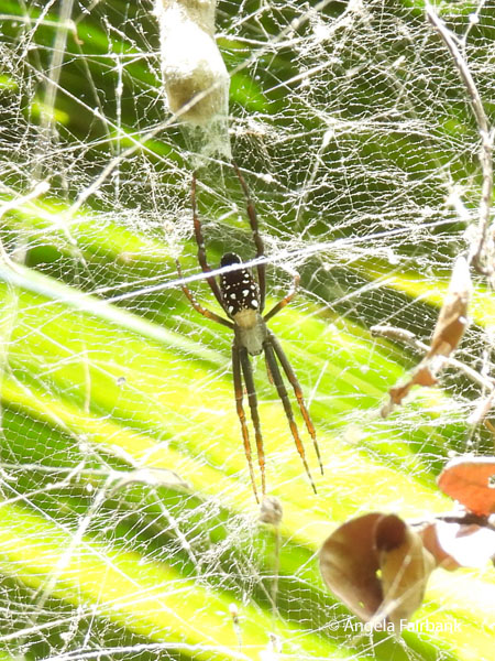
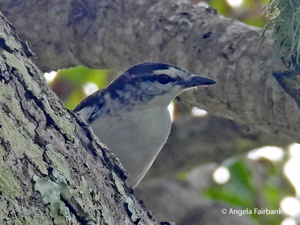 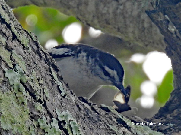 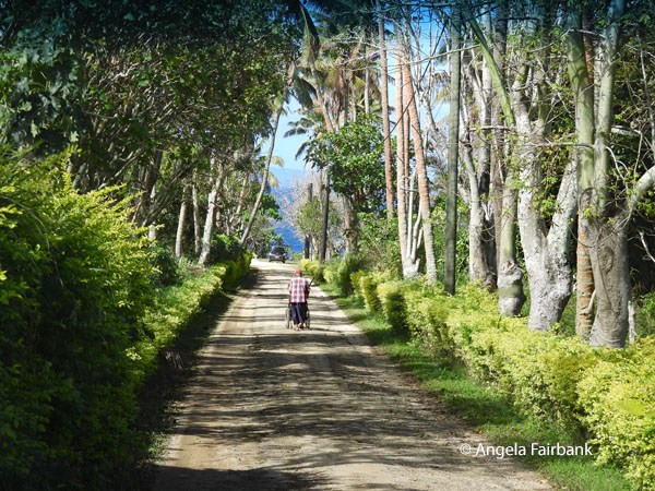 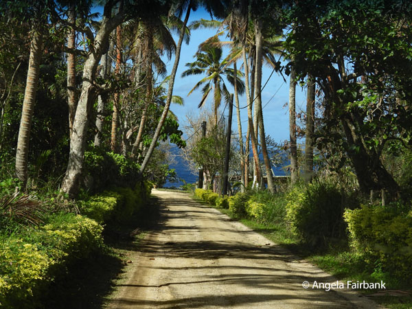 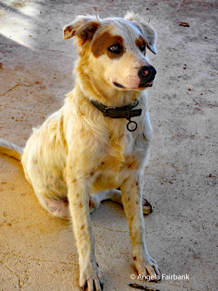 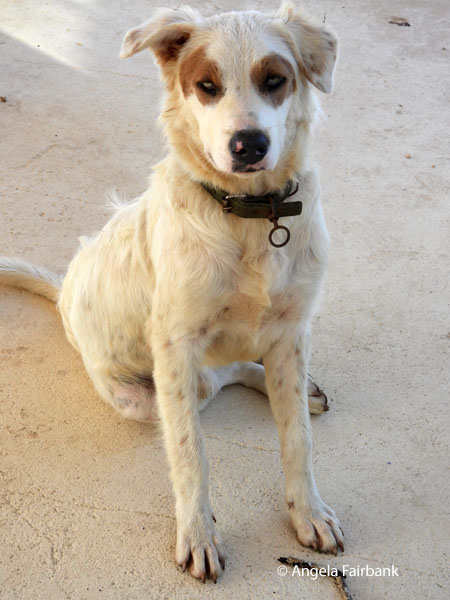    The bird you see in the photos above appears to be a Polynesian triller (Lalage maculosa) and the spider I photographed was on a banana plant at the landing site. Next, we stopped at the ancient tombs of Paepae o Tele'a (or Tele'a's Mound), followed by the Ha'amonga 'a Maui Trilithon - Tonga's Stonehenge - with its massive coral limestone blocks assembled in 1200 AD by the eleventh Tongan King. Recent scientific interpretation suggests that this monument, consisting of two vertical stones about 5m high, 4.25m thick, and weighing between 30 and 40 tonnes, topped by a lintel stone 5.8m long, 1.4m wide, and 0.61m thick, functioned as an ancient sundial, tracking seasonal changes crucial for agricultural and ceremonial cycles. The nearby Maka Fa'akinanga (Leaning Rock), made from the same stone as the Ha'amonga, appears to resemble a human head, shoulders and back, and is where oral traditions claim kings once sat while maintaining safe distances from potential assassins. I skipped the visit to the Anahulu Caves and took time for some photography instead, hence these images of a friendly dog. As an added, non sequitur, cultural note, Brianna told us that in Tongan culture, it is the aunt who gets to choose the names of her nieces and nephew and not the parents.
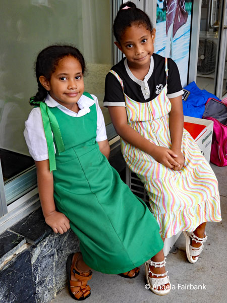
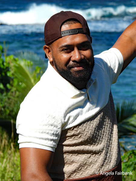
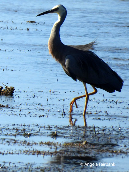
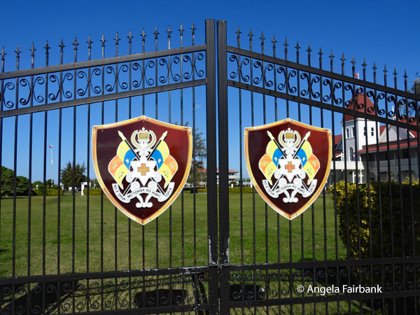
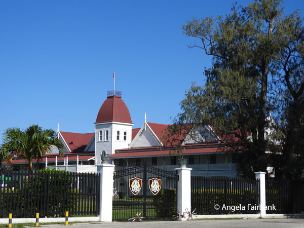
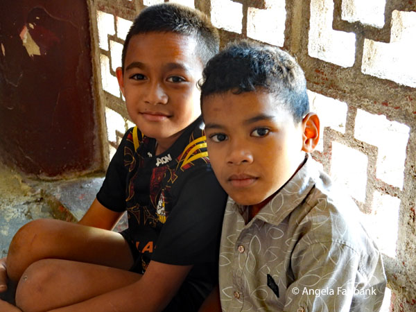
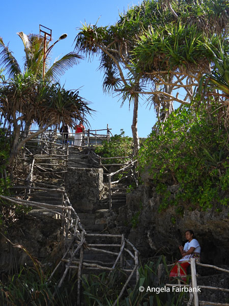 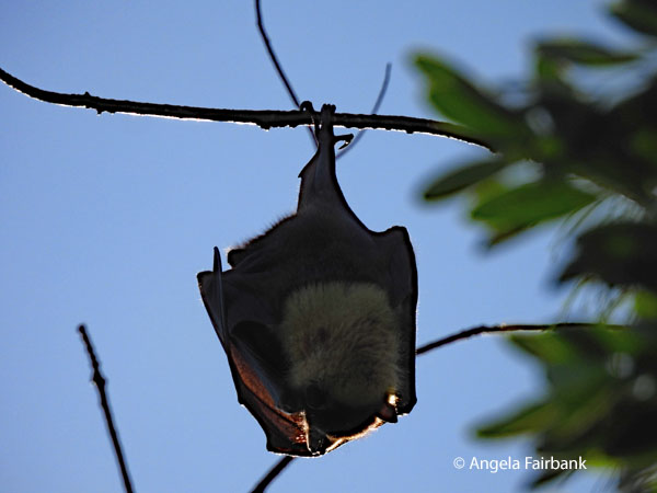 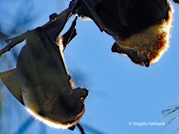 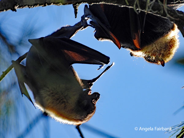 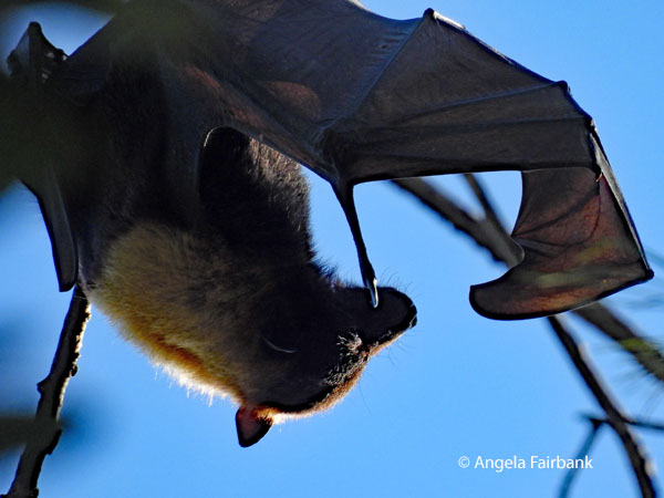 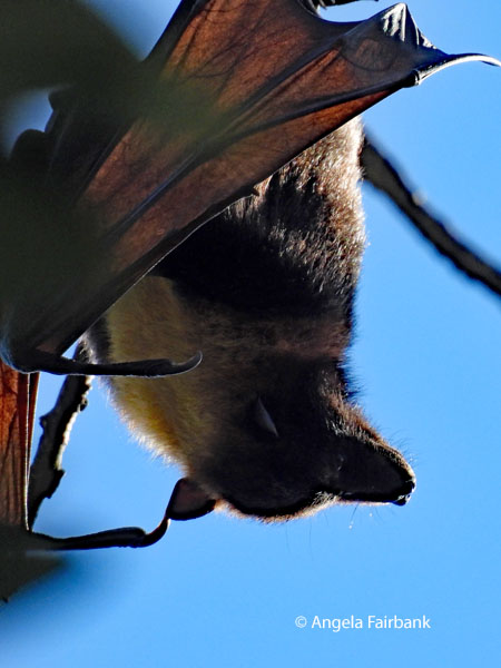 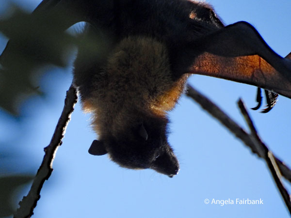 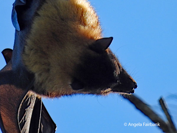 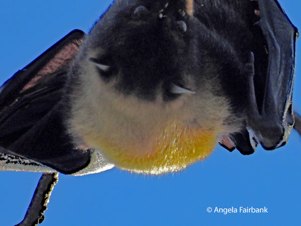 We then went to “No 1 Restaurant & Resort 'Oholei Beach” for a buffet lunch and a single female dancer, after which we climbed down some stairs to the beach itself. En route to the city once again, we were pointed out some ironwood (casuarina) trees where Pacific Flying Foxes (Pteropus tonganus), considered the exclusive property of the Tongan King, and locally known as peka but are actually fruit bats, hang out. Then we passed by the royal tombs complex, containing the bodies of King George I, King George II, Queen Salote, and King Taufa'hau Tupou IV among 18 others, their graves marking nearly two centuries of Pacific royalty. Our final stop was at the royal palace, near this Pacific Reef Heron (Egretta sacra), when we said Malo (thank you) and 'Alu a (goodbye) to Brianna and Saia before visiting the local market again, where I found these two boys, who told me they were 11 years old, the one on the left stating he was Samoan while the one on the right, Fijian. I then visited the tourist office for maps before returning to our hotel room to work on my travelogue. We were still awaiting our bags from Fiji Airways before leaving tomorrow morning for Fiji again, but they finally arrived - after much cajoling and negotiation - at our hotel lobby at around 10:30 p.m. only because our tour leader decided to hire a driver and van to go and fetch them personally from the airport because frankly, he did not trust Fiji Airways' promise to deliver them on time.
       Saturday, June 20, 2026: Tonga to Port Vila, Vanuatu (15.3767° S, 166.9592° E) via Fiji
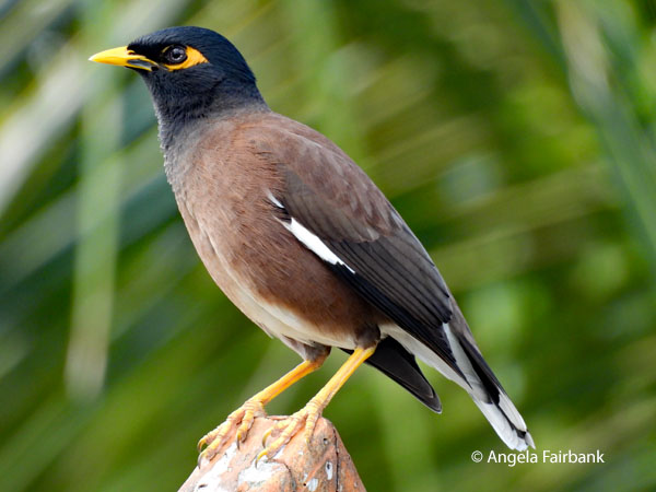
It is now July 6, and I have not been able to update my travelogue since June 19, so forgive me if I have forgotten some elements. Our itinerary with early flights and more has been so unwieldy that the best I have been able to do is to keep up with the photo editing, unfortunately causing my writing to fall by the wayside. I think it was today we had our worst flights timewise because having collected our refound luggage from the lobby at 11:00 p.m. we then had to be ready at 2:30 a.m. to grab breakfast boxes before being picked up at our hotel in Tonga for a 5 a.m. flight back to Nadi via Fiji Airways and then an 8-hour wait before flying onward to Vanuatu. There was some confusion about whether we were able to leave the airport and go and check in for the day at a hotel across the street, but since our bags had been tagged to Vanuatu, we were told we could not leave Nadi airport under any circumstances. Luckily for me, my room mate invited me to the Oneworld lounge as her guest, so we were able to take advantage of the complementary food and drink and some comfortable chairs to rest in. It was a long wait, however, and we did not arrive in Vila and its lovely Ramada Hotel until late in the day with only a short time to repack before meeting for dinner at the hotel inclusive of a local culture show. Unsurprisingly, I was feeling exhausted and my brain was fried. I was seriously contemplating taking tomorrow off and skipping the visit to Tanna Island, but in retrospect am glad I decided to follow the original itinerary after all. Two of our group did decide to skip the next step and rest at this hotel for another night. The Republic of Vanuatu is an island country in Melanesia (note that we have travelled from Polynesia to Melanesia) located in the South Pacific Ocean. The archipelago, which is of volcanic origin, is 1,750 km (1,090 mi) east of northern Australia, 540 km (340 mi) northeast of New Caledonia, east of New Guinea, southeast of Solomon Islands, and west of Fiji. Vanuatu was first inhabited by Melanesian people. The first Europeans to visit the islands were a Spanish expedition led by Portuguese navigator Pedro Fernandes de Queirós, who arrived on the largest island, Espíritu Santo, in 1606. Queirós claimed the archipelago for Spain as part of the colonial Spanish East Indies and named it La Australia del Espíritu Santo. In the 1880s, France and the United Kingdom claimed parts of the archipelago, and in 1906, they agreed on a framework for jointly managing the archipelago as the New Hebrides through an Anglo-French condominium. In the 1970s, an independence movement arose and the Republic of Vanuatu was founded in 1980. Since its independence, the country has become a member of the United Nations, the Commonwealth of Nations, the Organisation internationale de la Francophonie, and the Pacific Islands Forum. The national language of the Republic of Vanuatu is Bislama. The official languages are Bislama, English, and French. The principal languages of education are English and French. The use of English or French as the formal language is split along political lines. Bislama is a creole spoken natively in urban areas. Combining a typical Melanesian grammar and phonology with an almost entirely English-derived vocabulary, Bislama is the lingua franca of the archipelago, used by the majority of the population as a second language. The growth of Bislama as a first language has considerably encroached on the indigenous languages, whose use receded from 73.1% to 63.2% of the population between 1999 and 2009. In addition, 113 indigenous languages, all of which are Southern Oceanic languages except for three outlier Polynesian languages, are spoken in Vanuatu. The density of languages per capita is the highest of any nation in the world, with an average of only 2,000 speakers per language. All vernacular languages of Vanuatu (i.e. excluding Bislama) belong to the Oceanic branch of the Austronesian family. I was in Port Vila, Vanuatu last on December 11, 2015, as part of a Princess cruise. I really enjoyed my day here as I managed to fit in two tours. You are welcome to read about them in another of my travelogues. Sunday, June 21, 2026: Port Vila to Tanna Island, Vanuatu, the Isles of Smiles Today meant yet another early departure at 5:00 a.m. and our breakfast was another boxed meal delivered last night after dinner and kept in the fridge overnight. Our local flight with Air Vanuatu left at 7:30 a.m. for an arrival at 8:10 a.m. Luckily, our resort (the Whitegrass Ocean Resort) was only a short drive from the airport and we had the morning to relax in our huts and explore the surroundings, including some new bird species, such as this endemic Vanuatu White-eye (Zosterops flavifrons), several butterflies, and ubiquitous Common Mynahs (Acridotheres tristis), an introduced, invasive pest species that originally arrived in the 1880s when a ship carrying caged birds to Fiji wrecked off Tanna's coast. I also caught this adult male Pacific bluetail skink (Emoia caeruleocauda) on camera. Our friendly Quebecoise hostess, Sophie, leant me a book on the birds of Papua New Guinea, which made me want to visit soon as there are several wonderfully decorated birds of paradise to look for there.  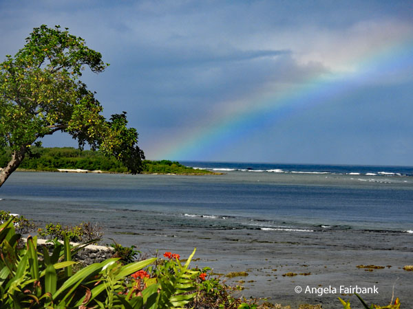 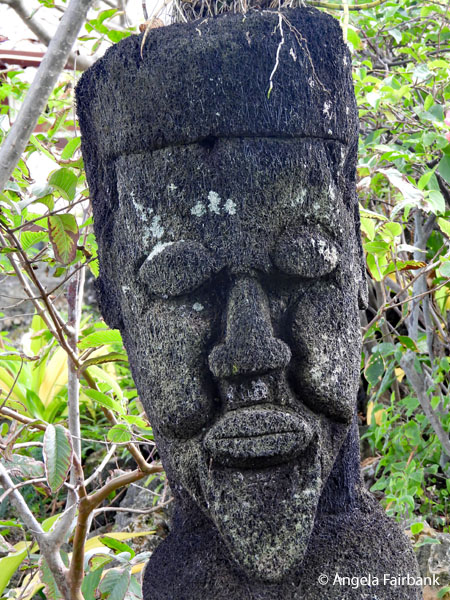 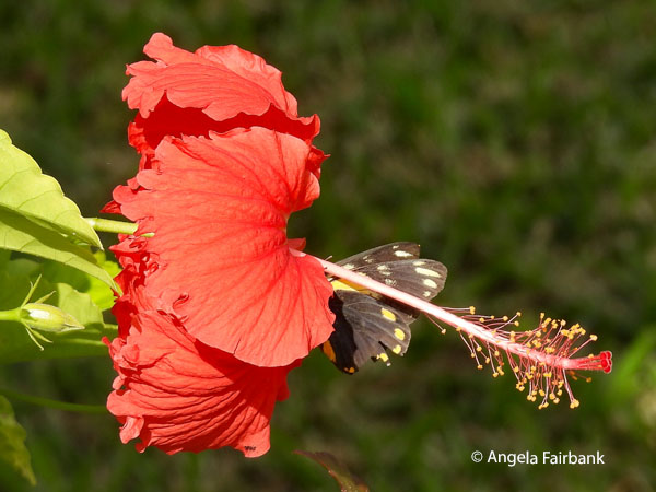 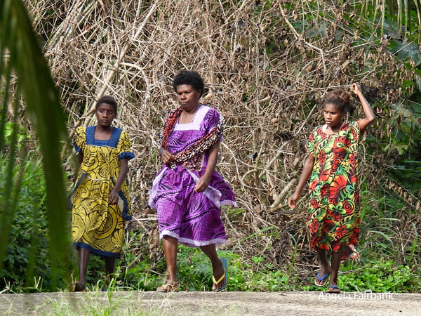 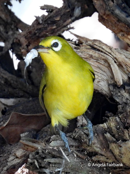 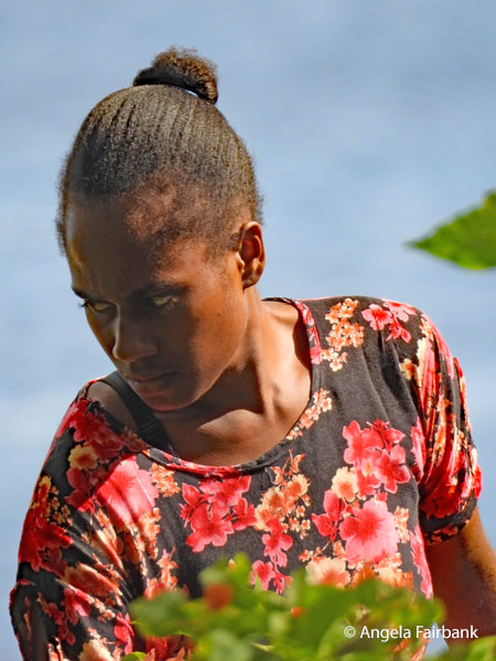  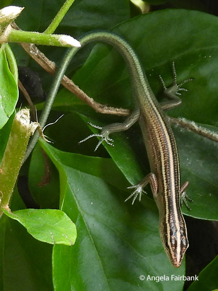 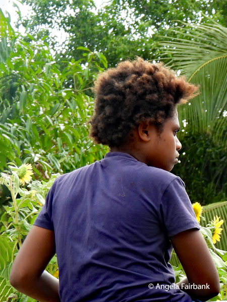 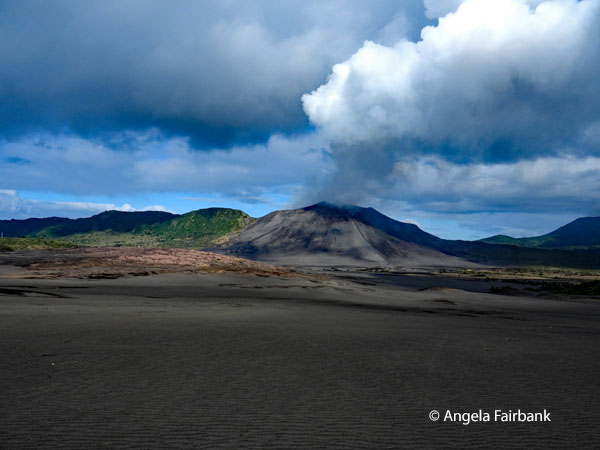 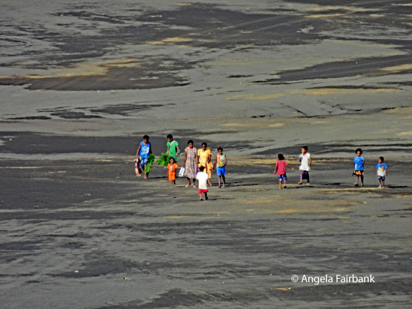  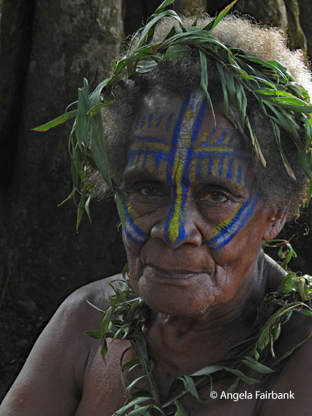 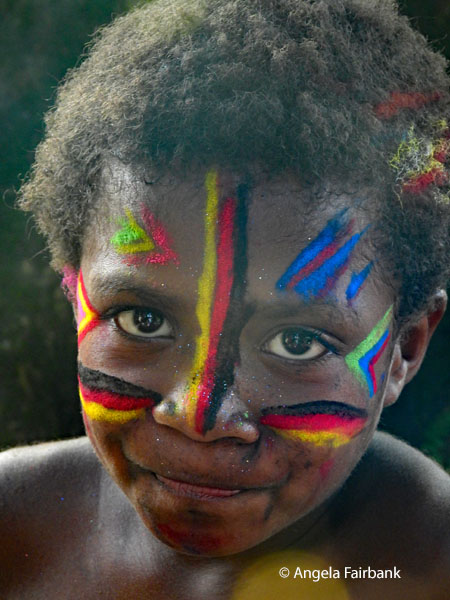 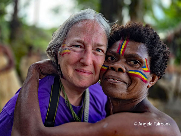 After lunch, we were transported in four 4WD vehicles, ours with a rather monosyllabic driver called Emil, who drove in bare feet! I did manage to learn that he has a wife (his childhood sweetheart whom he met at primary school), and two children, a girl of 7 and a boy of 2 months. He has travelled several times to New Zealand to work 7 months at a time as a fruit picker (mostly apples).
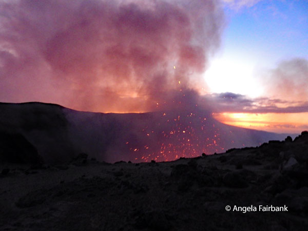
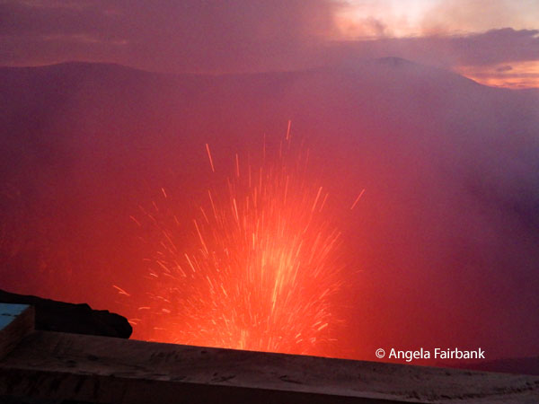
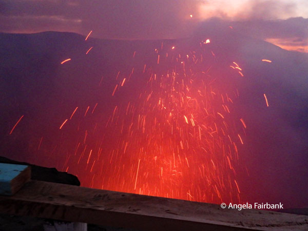
     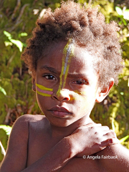 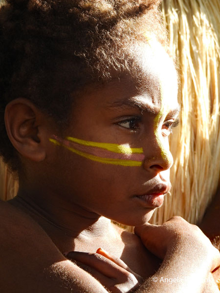 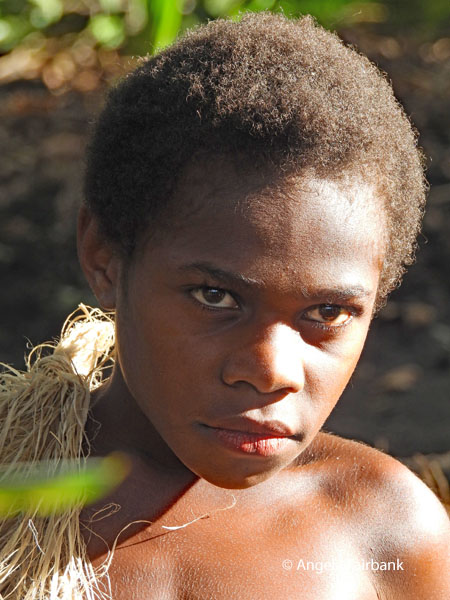     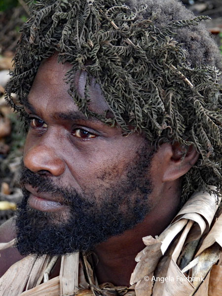 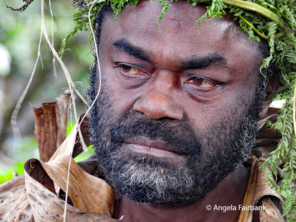 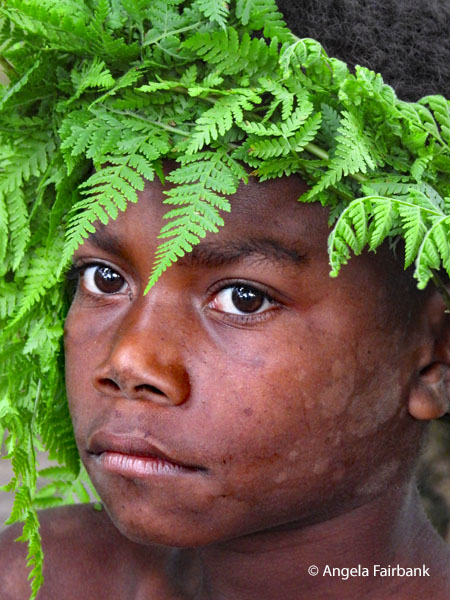 The journey took us from dense, vine-covered bush to muddy volcanic ash plains, meaning a long and very bumpy drive, as we approached Mount Yasur, an active volcano locally known as 'Old Man' in recognition of its ancient power. At 361 metres above sea level, this geological marvel, featuring a crater 300 metres wide and 100 metres deep, has been continuously active for over 800 years according to local oral histories.
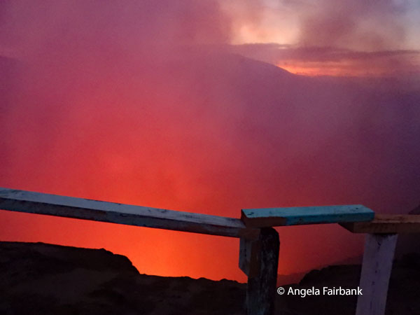
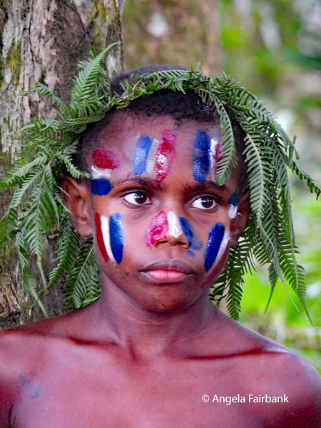               On our first visit to the mountain, we stood on the volcanic plain to admire its colours, watch as sporadic belches of grey smoke emerged from its crater, and take group photos. On our second visit, at dusk, we took a short 10-minute uphill walk (me with my flip flops as our tour leader had not told us to wear sturdier shoes) partially on stone stairs with railings to the crater rim, where we witnessed sparks erupt with thunderous roars every few minutes.
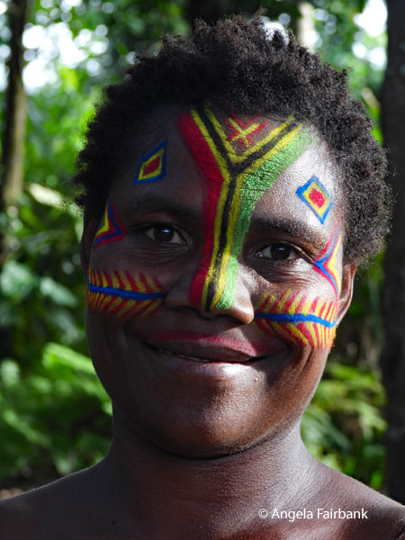
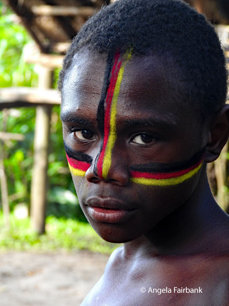
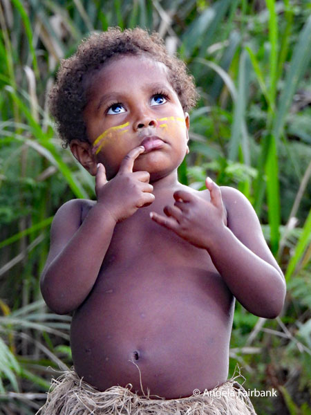
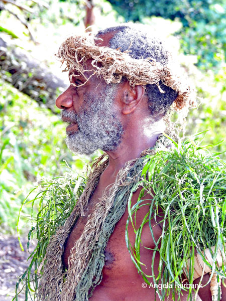
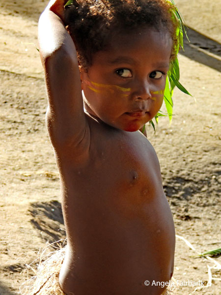
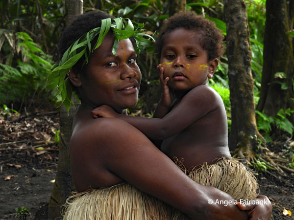
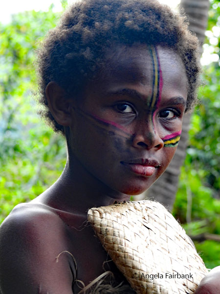
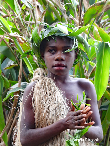
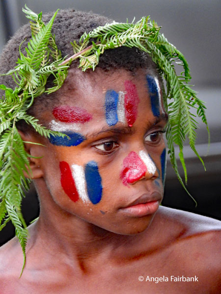
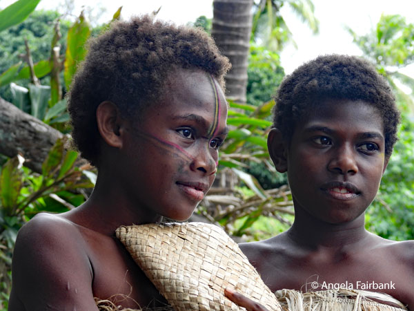
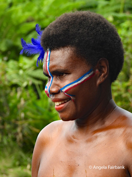
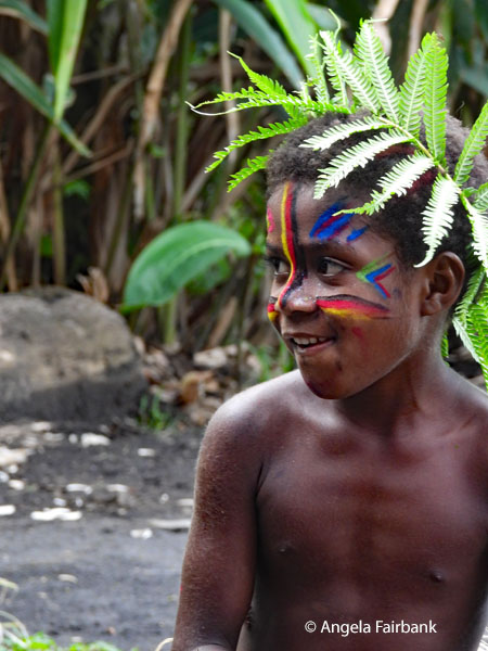
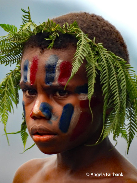
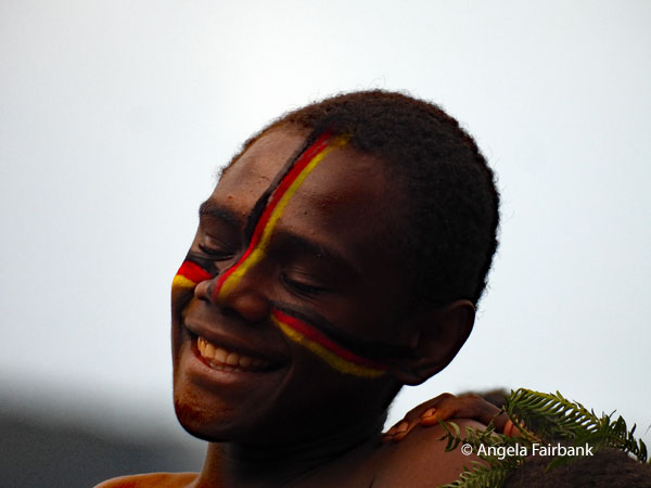
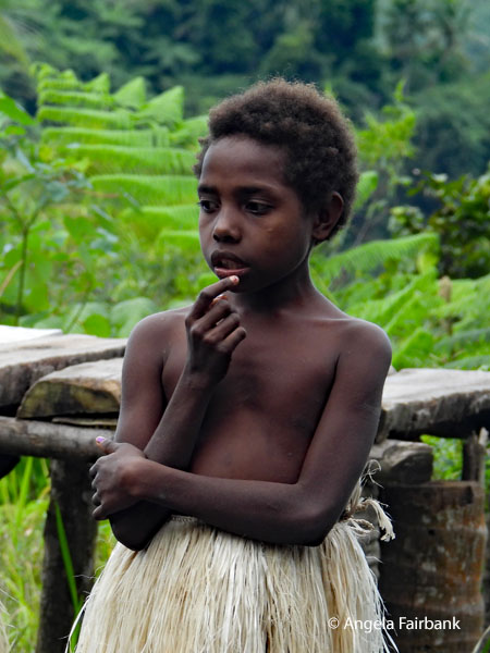
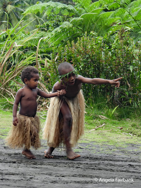
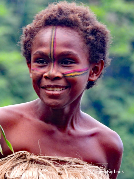
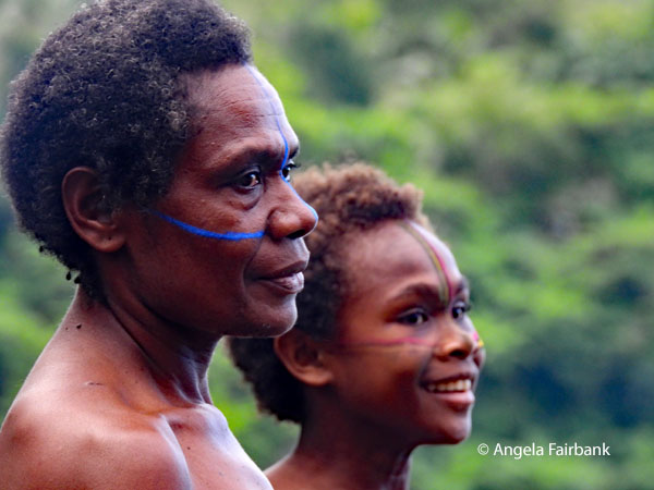
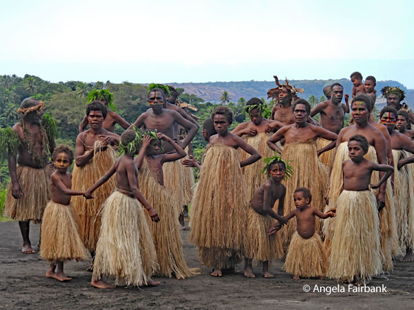
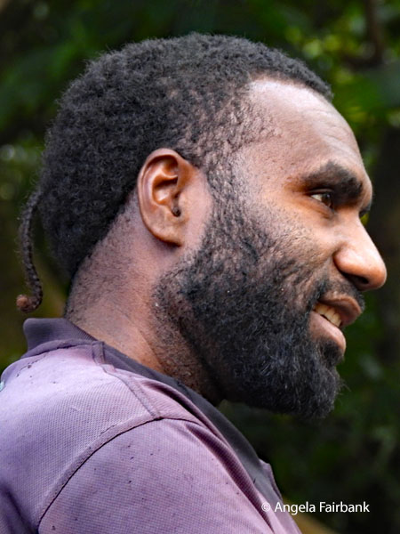
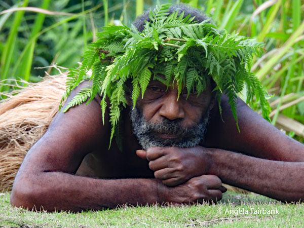
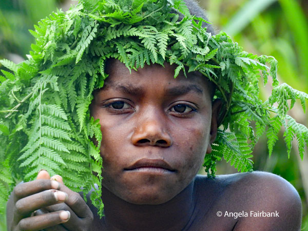
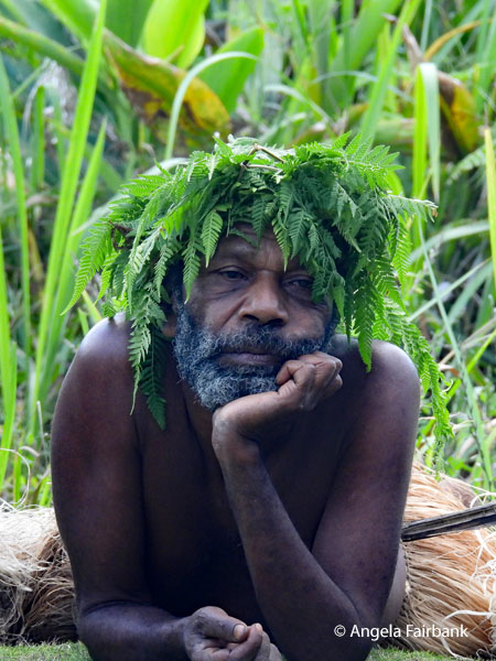
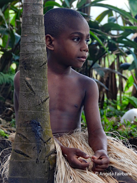
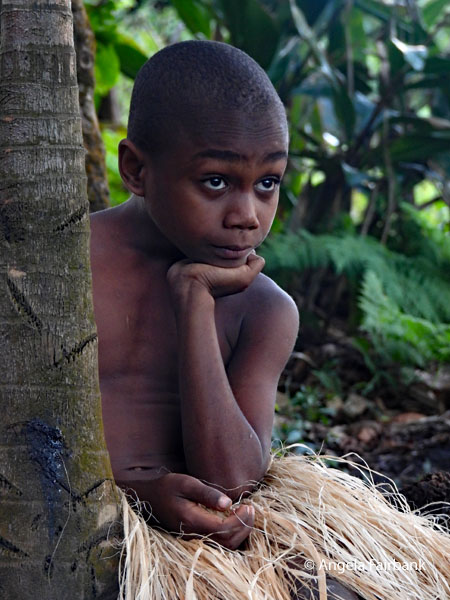
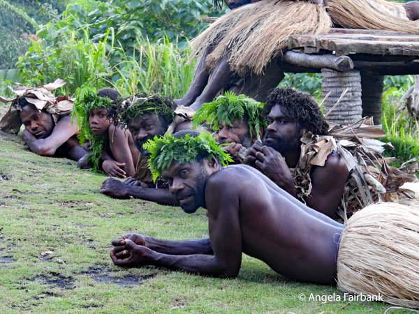
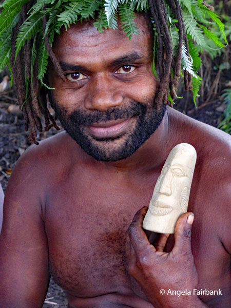
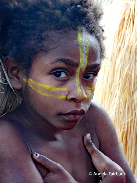
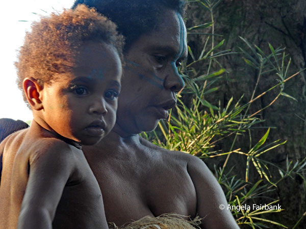
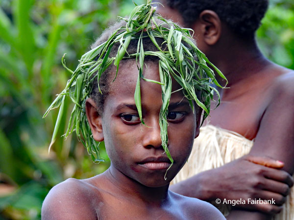 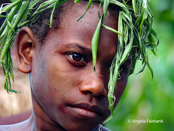 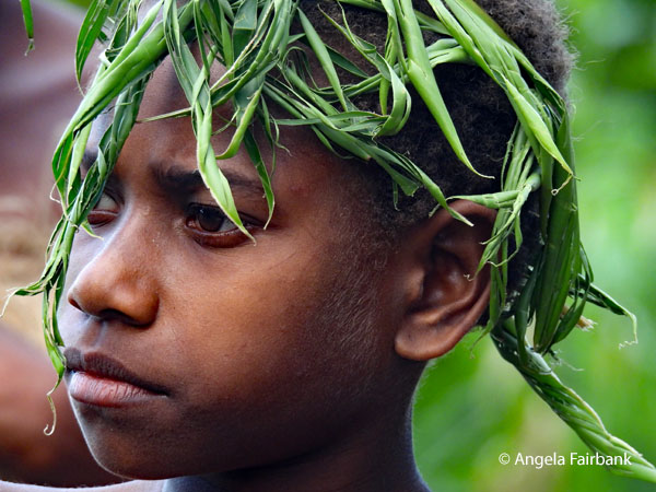 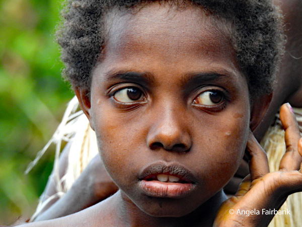 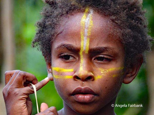 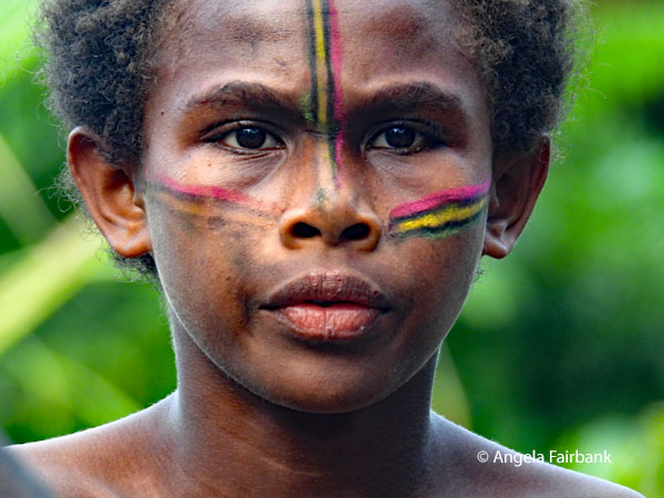 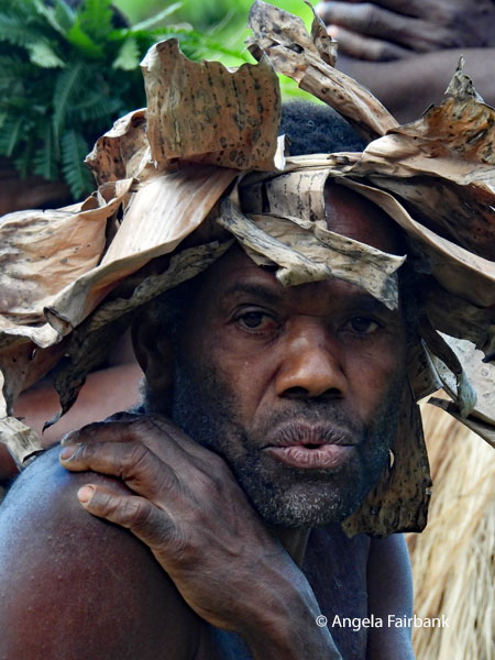 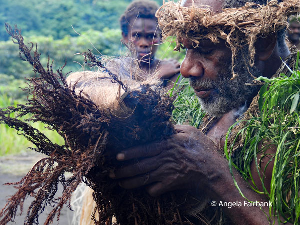 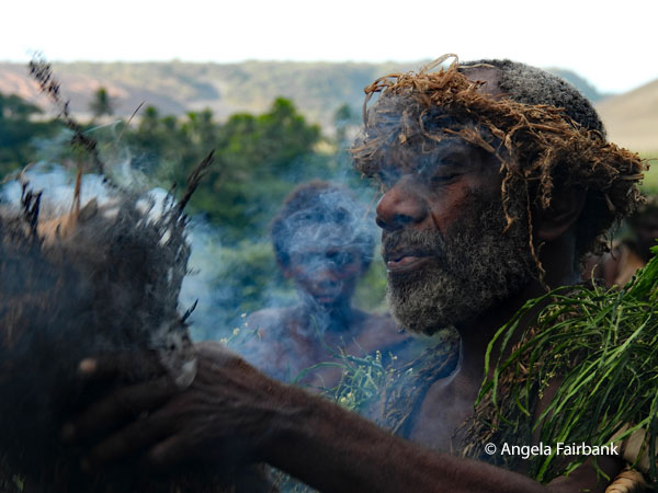 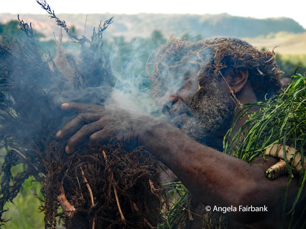 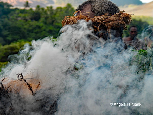 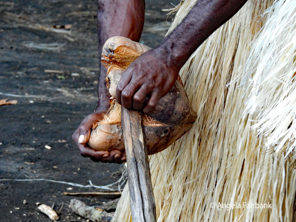 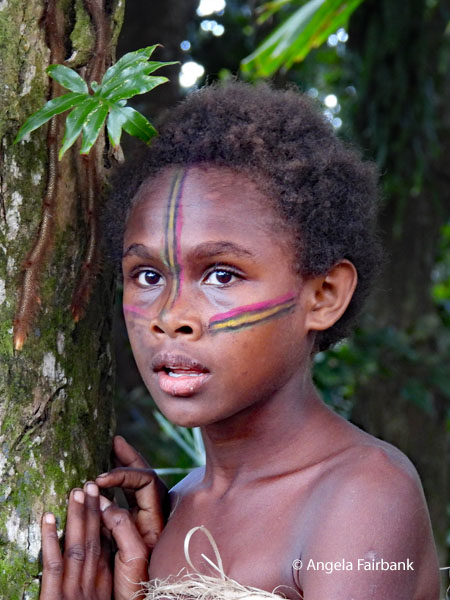 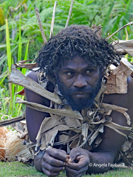 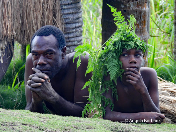 However, between these two visits, we experienced what was surely the highlight of Vanuatu, and perhaps one of the highlights of the entire trip, provided you are more into culture like I am and not so much into geology or volcanology, although I must admit the setting with intermittent volcanic rumblings was certainly unmatched in my experience. This was the visit to the cultural village of Imaio, where we were first greeted by the women with their painted faces. They pressed their foreheads and cheeks to ours, thus transferring the paint onto our faces as a welcoming ceremony. We were invited to take as many photos as we wished and you will see the results here. A middle-aged woman then explained the dances they then performed and introduced us to a few other cultural treats, such as making fire, carrying the sick on a pile of leaves, pouring water to wash our hands from a stick of bamboo they had filled that had a spout they stopped with another small piece of bamboo, and the by-now-common-to-us splitting open of the coconut and producing its liquid for us to drink. There were a few hand-made trinkets on display and many of us ended up purchasing rocks that one man (seen here with the rock I bought) had carved faces into. However, we were reluctantly pulled away as it had been arranged that we arrive back at the volcano for sunset and dusk as mentioned above, preceded by a very brief visit to its museum, and then back to our resort for dinner and bed.
           Monday, June 22, 2026: Tanna Island to Port Vila, Vanuatu
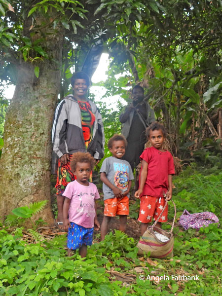
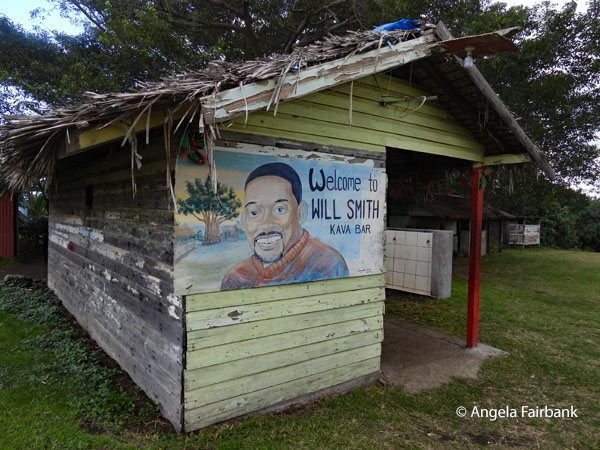
This morning we explored western Tanna Island, visiting an extremely large Banyan Tree - claimed as the largest on record at 120 metres wide and 80 metres high - which our local guide, Sam, was eager to show us and swing from its branches, after we had climbed down a rather slippery and muddy track, partially supplied with railings. Our tour leader had not advised us to wear sturdy shoes, so once again I managed with my flip flops. We stopped in a village briefly for toilets and came across this kava bar with a sign welcoming the American actor Will Smith, who we were told had funded some local water wells. We also met a few locals clearing land and were able to photograph some copies of the Vanuatu flag. 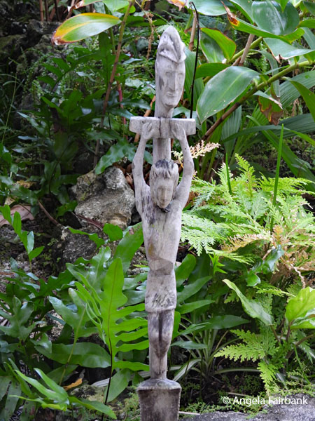 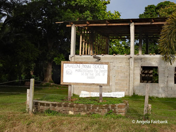 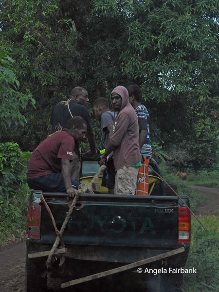 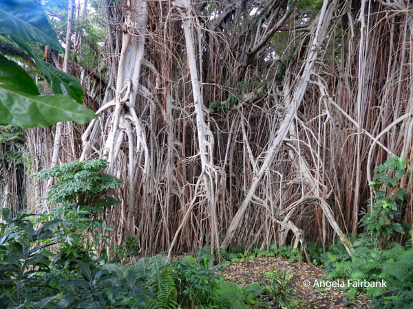 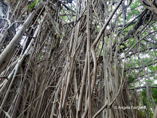 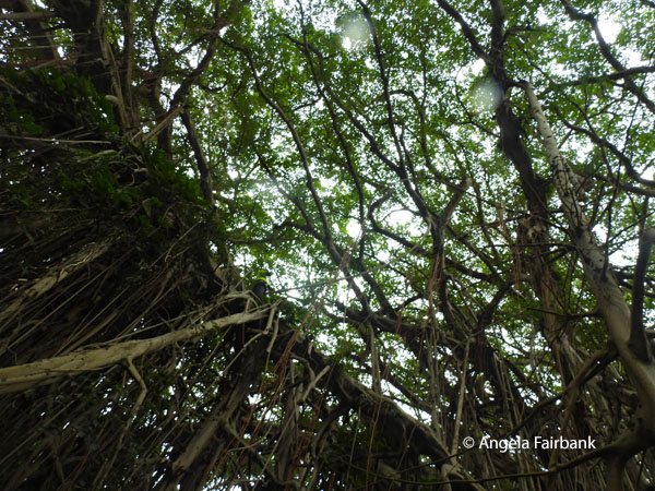 We next drove to the government centre in Isangel, Tafea Province, to admire its Edukesen Ofis and Provinsol Hed Qwata. All along the roads today and yesterday, we had seen various flags flying - France, Brazil, Argentina, Portugal, etc. - and were told they had been put up by World Cup team supporters, as the FIFA playoffs were going on at the time. Our next stop was the Lenakel open air market, which had many colourful people to photograph and clearly no one minded.
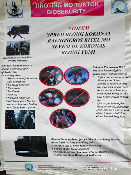
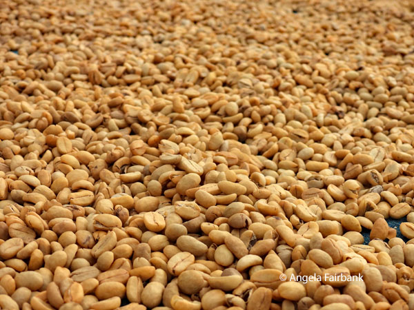
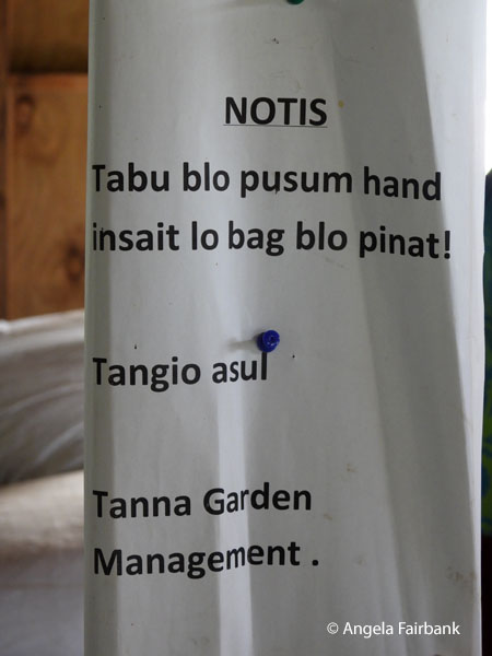
  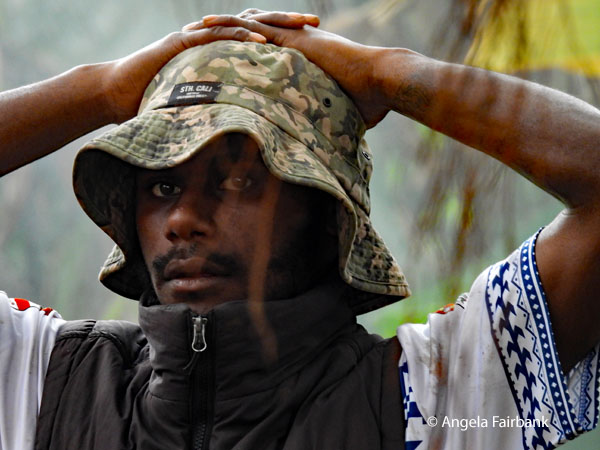 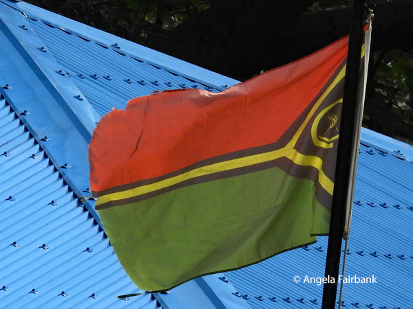 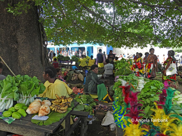 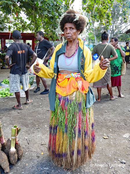 Our final stop before lunch was at the Tanna Gardens Cafe & coffee factory, where coffee beans are hulled and where I bought a bag of coffee and photographed a sign inside the peanut factory that in Bismala said “NOTIS Tabu blo pusum hand insait lo bag blo pinat!” We were also shown processed vanilla pods.
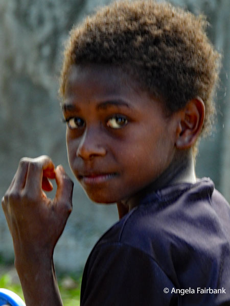
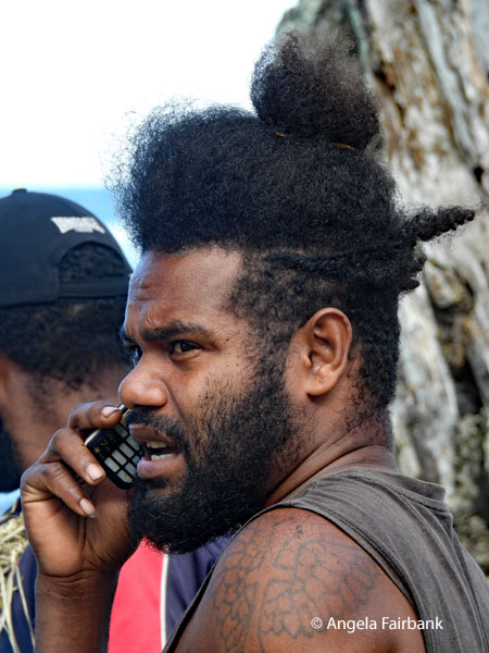
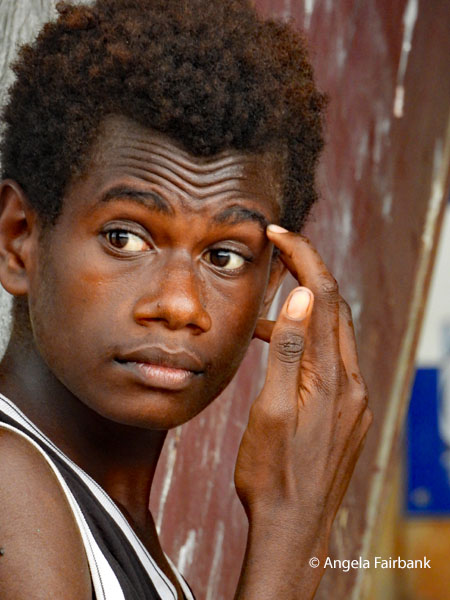
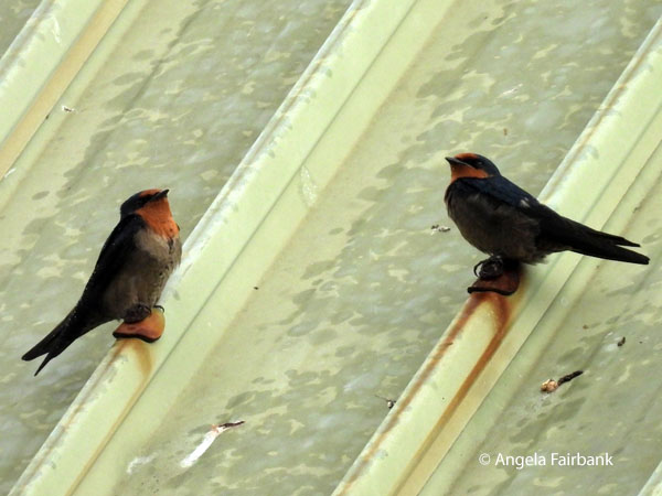
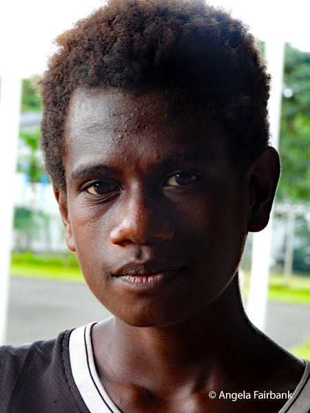
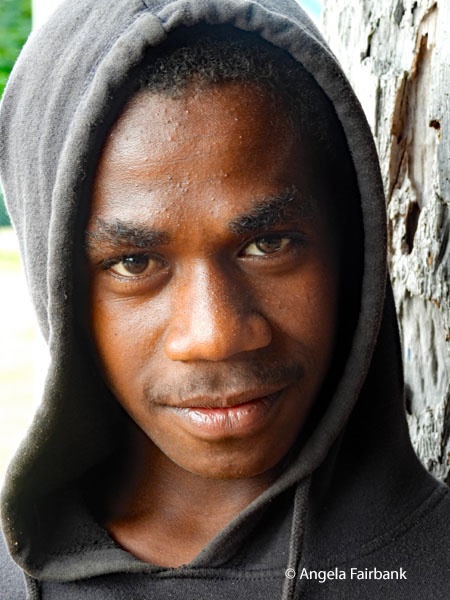
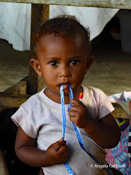 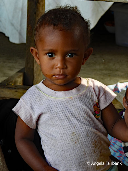 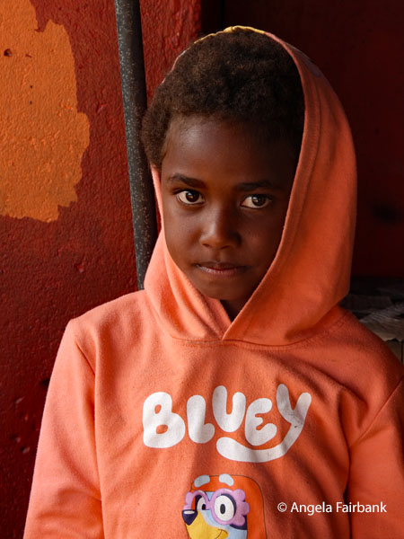 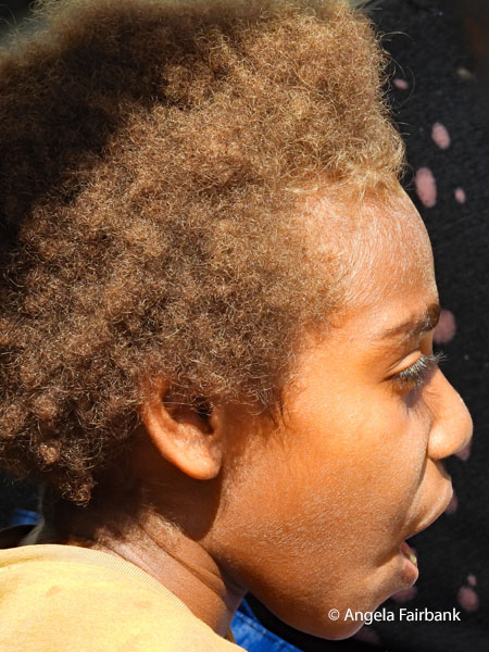 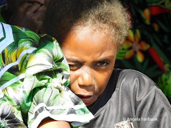 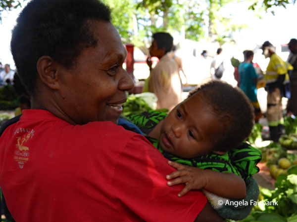 I think the birds here on the roof of the airport in Tanna, where we went to check in for our afternoon flight, are Pacific Swallows (Hirundo javanica). These boys hanging around the airport told me they were 14 and in grade 9 though they wouldn't tell me why they weren't in school at the time I met them.
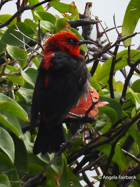
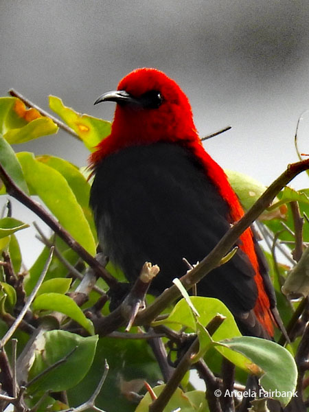
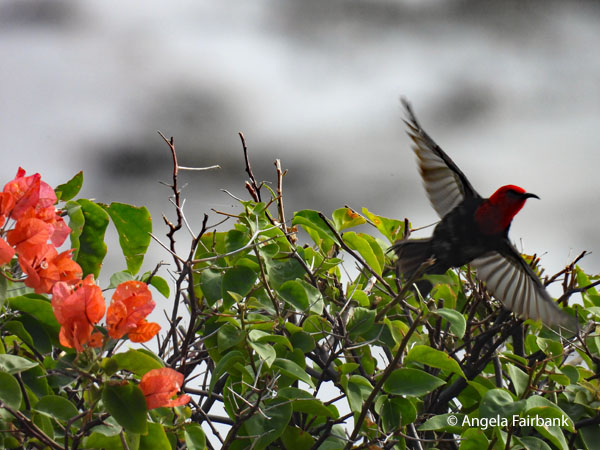
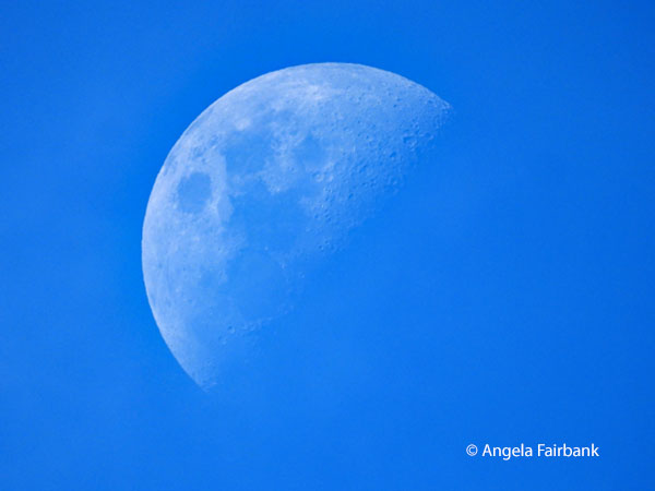
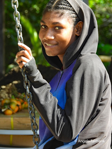 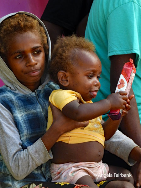     We returned to the resort for lunch and afterwards, since we had a few moments to rest, I finally got the chance to photograph this Cardinal Myzomela (Myzomela cardinalis), a tiny honeyeater native to the island of Tanna and widespread throughout Vanuatu. I also photographed the daytime half moon and this Common Mynah because although pests, they are certainly colourful.
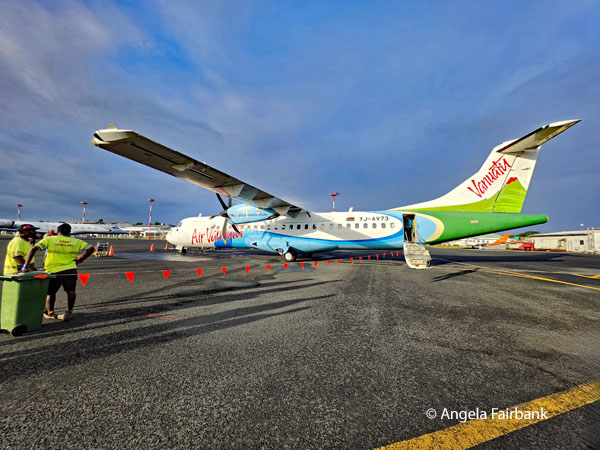
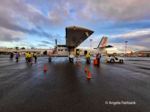
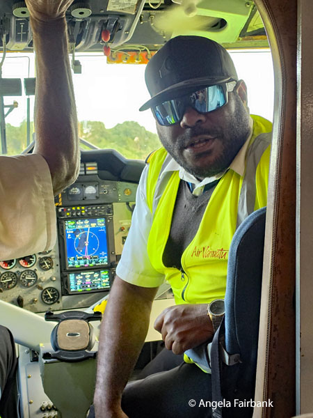
      As our original return flight to Vila had been cancelled, we had had time to see more of Tanna, but it meant we had to skip the sightseeing planned for today in Port Vila on the main island of Efate. It also meant we got to experience a flight in a very small two-propellor plane for a change. When we arrived back in Port Vila airport, we saw signs welcoming us back, saying Lukum Yu Bakagen! and Tankio Tumas for Answering the Call of Vanuatu. An ad for Digicel told us it had the Nambawan rate and that it was Taem yu risivin money.
        Tuesday, June 23, 2026: Vanuatu to Nadi, Fiji (17.7134° S, 178.0650° E)
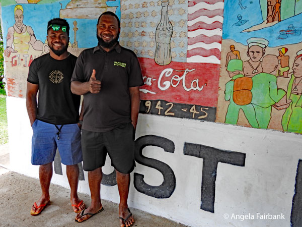
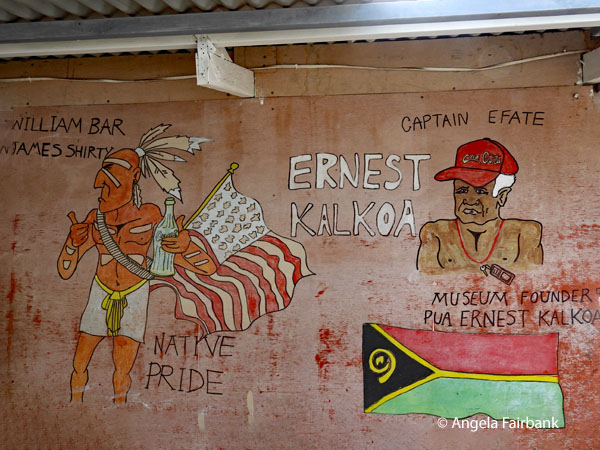
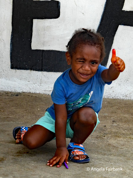
After checking out of our hotel with our luggage, we began our round island tour at Pepeyo Cultural Village, although our guides/drivers (Ronnie and Roy respectively, seen below) were obliged to wake up the performers, despite their being reminded the day before that we were coming at 8:00 a.m. Our amusing host talked about some of the customs and then we listened to their small musical group perform using instruments made of bottles and bamboo pipes filled with varying volumes of water, as well as a single-string instrument. I recorded a couple of their songs as well as the dancing by men only. There was one woman busy creating handicrafts but there were no children in sight. The pièce de résistance came at the end when one young man walked over previously hot red ashes, our host having chewed up some green leaves and spat them on the sole of the fire walker's feet to help desensitize them to the burning coals. The gorgeous butterfly here is an Eight-Spot Butterfly (Hypolimnas octocula). 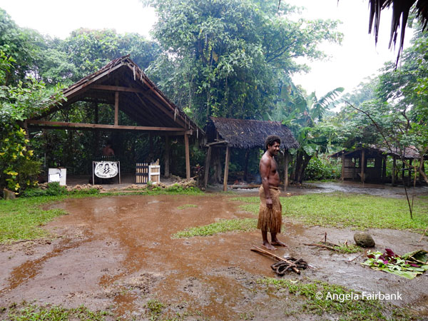 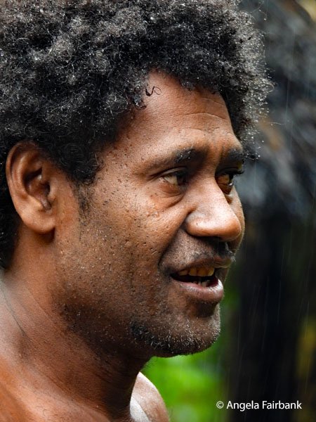 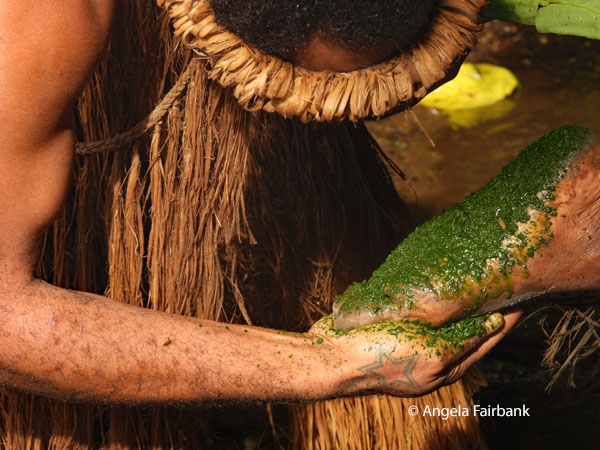 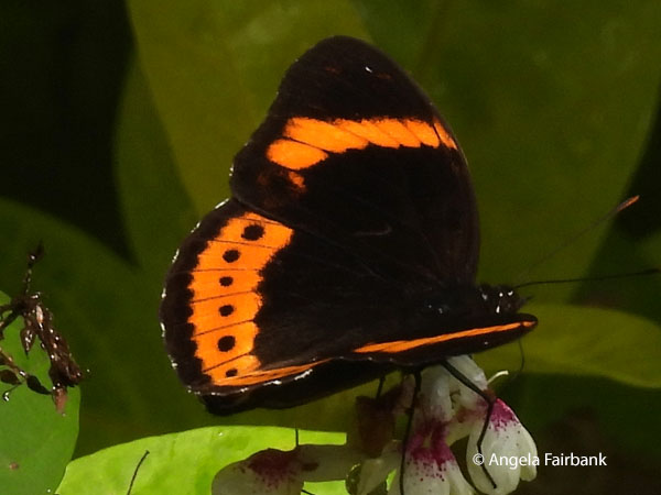 Our next stop was at a small but well decorated shack designated by its owner (the son of the previous owner, Ernest Kalkoa) as a WW2 Museum, and whose sign says World War II Memorabilia Rust in Peace, where World War II artifacts and scattered relics lay covered in dust and rust. The man showed us his collection of broken Coca Cola bottles from the 1930s and 40s brought over by the American soldiers and sporting the names of various US cities on their bottoms, such as Seattle, New York, etc. He had a very cute son of about 3 years old with him, the age that a young Vanuatuan would receive his first machete, our loquacious and personable driver, Ronnie, told us.
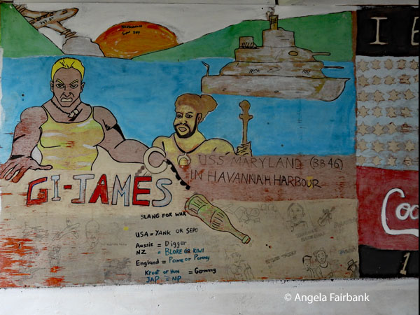 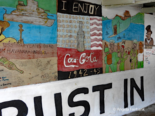  Ronnie also told us about the origin of the Bislama language, which I have now found backed up with the help of AI compiling several references together. “Bislama is an English-based pidgin that originated in the 1870s and 1880s during the [so-called] Blackbirding era. Thousands of indigenous Ni-Vanuatu were recruited or forced to work on sugarcane and copra plantations in Queensland, Australia, and Fiji. It served as a vital lingua franca for these labourers and plantation overseers to communicate. The term Bislama stems from the 19th-century term Beach-la-Mar, which originates from the French biche de mer (sea cucumber). Early European traders and local populations harvested and traded this sea creature, a period during which the foundational pidgin began to take shape. Because the workers on the plantations came from different islands with over 100 diverse local languages, they adapted English vocabulary and forced it into the grammatical and phonetic structures of their native Oceanic languages. When the survivors of the plantation era returned to the New Hebrides (modern-day Vanuatu) in the early 20th century, the pidgin returned with them and became widespread. Today, Bislama is comprised of roughly 95% English-origin words, with a small percentage of vocabulary from French and local indigenous languages and is recognized as the national and one of the three official languages of Vanuatu.”
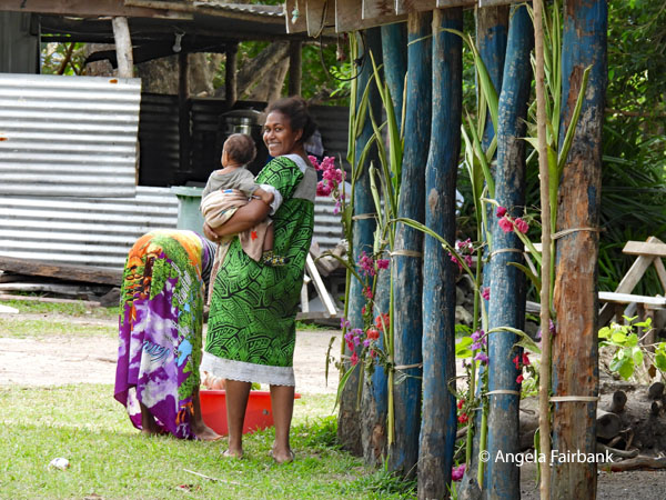   We had a lunch of large submarine sandwiches and lemonade at Survivor Beach and Gideon's Landing (a tropical location on Havannah Harbour on the island of Efate in Vanuatu, famous as the filming site for the reality TV show Survivor: Vanuatu - Islands of Fire), where I followed a Pacific Emerald Dove (Chalcophaps longirostris) for a while but failed to get a photo of it, before returning to the airport where I bought a book to learn Bislama written by an Australian. As they speak this language in Solomon Islands and Papua New Guinea as well, I thought it worth my while to try and learn it. Here are some examples: Alo hello, Bae goodbye, Me lukem you see you, Pliis please, Tankyu tumas thank you, yu toktok Engglis? do you speak English? and Mi no save I don't understand. As we took our late afternoon flight to Nadi, Fiji, I said my farewells to this island nation, in my opinion, worth returning to some day: Bae Vanuatu and Tankyu tumas. Lukim yu nekis taem. We had dinner at our hotel in Nadi and stayed overnight but there was no time for any sightseeing there.
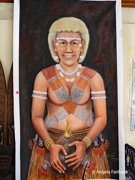
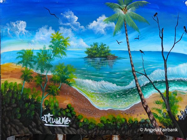
On December 13, 2025, I landed at Port Denarau, the closest port to Nadi (pronounced Nandi). Our itinerary actually took us to four different Fijian ports (Port Denaurau and Suva on Viti Levu Island, Savusavu on Vanua Levu Island, and Dravuni Island) over four consecutive days. I found it interesting to reread my impressions of these paradisiacal places. Apparently, back then, just over ten years ago, I complained how expensive things were in Fiji in general. Fiji, officially the Republic of Fiji, is an island country in Melanesia, part of Oceania in the South Pacific Ocean. It lies about 1,100 nautical miles (2,000 km; 1,300 mi) north-northeast of New Zealand. Fiji consists of an archipelago of more than 330 islands - of which about 110 are permanently inhabited - and more than 500 islets, amounting to a total land area of about 18,300 square kilometres (7,100 sq mi). The most outlying island group is Ono-i-Lau. About 87% of the total population live on the two major islands, Viti Levu and Vanua Levu. About three-quarters of Fijians live on Viti Levu's coasts, either in the capital city of Suva, or in smaller urban centres such as Nadi (where tourism is the major local industry) or Lautoka (where the sugar-cane industry is dominant). The interior of Viti Levu is sparsely inhabited because of its terrain. Humans have lived in Fiji since the second millennium BC - first Austronesians and later Melanesians, with some Polynesian influences. Europeans first visited Fiji in the 17th century. In 1874, after a brief period in which Fiji was an independent kingdom, the British established the Colony of Fiji. Fiji operated as a Crown colony until 1970, when it gained independence and became known as the Dominion of Fiji. In 1987, following a series of coups d'état, the military government that had taken power declared it a republic. In a 2006 coup, Commodore Frank Bainimarama seized power. In 2009, the Fijian High Court ruled that the military leadership was unlawful. At that point, President Ratu Josefa Iloilo, whom the military had retained as the nominal head of state, formally abrogated the 1997 Constitution and re-appointed Bainimarama as interim prime minister. Later in 2009, Ratu Epeli Nailatikau succeeded Iloilo as president. On 17 September 2014, after years of delays, a democratic election took place. Bainimarama's FijiFirst party won 59.2% of the vote, and international observers deemed the election credible. Fiji has one of the most developed economies in the Pacific through its abundant forest, mineral, and fish resources. The currency is the Fijian dollar, with the main sources of foreign exchange being the tourist industry, remittances from Fijians working abroad, bottled water exports, and sugar cane. Fiji has three official languages under the 1997 constitution (and not revoked by the 2013 Constitution): English, Fijian (iTaukei), and Hindustani, the language of education for Indian Fijians. Fijian is an Austronesian language of the Malayo-Polynesian family spoken in Fiji. It has 350,000 native speakers, and another 200,000 speak it as a second language. There are many dialects of the language across the Fiji Islands, which may be classified in two major branches-eastern and western. Missionaries in the 1840s chose an eastern dialect, the speech of Bau Island, to be their written standard of the Fijian language. Bau Island was home to Seru Epenisa Cakobau, the chief who eventually became the self-proclaimed King of Fiji. Fiji Hindi, also known as Fijian Baat or Fijian Hindustani, is the language spoken by most Fijian citizens of Indian descent. It is a koine derived mainly from Awadhi, an Eastern Hindi language. It has also borrowed a large number of words from Fijian and English. Indian indentured labourers were initially brought to Fiji mainly from districts of eastern Uttar Pradesh, Bihar, North-West Frontier and South India such as from Andhra and Tamil Nadu. They spoke numerous, mainly Eastern Hindi, language varieties, but 40% spoke Awadhi, and that became the basis of the koine. Later, Hindu and Muslim missionaries introduced standard Hindi/Urdu, which became the prestige language, somewhat like the position of French in Haiti. Today, basilectal Fiji Hindi and acrolectal standard Hindustani form a continuum, with the latter being the language of education and the primary written language, though there is some literature in Fiji Hindi. However, the 2013 Constitution states that “Conversational and contemporary iTaukei and Fiji Hindi languages shall be taught as compulsory subjects in all primary schools.” English, a remnant of British colonial rule over the islands, was the sole official language until 1997 and is widely used in government, business and education as a lingua franca. Wednesday, June 24, 2026: Nadi, Fiji, the Crossroads of the South Pacific, to Solomon Islands (9.6457° S, 160.1562° E) After checking out of our hotel 11ish and as we were checking into our flight, I noticed that one of the items we were not allowed to take onto the plane among the usual list of poisons, flammable liquids, explosives, matches/lighters, bleach/acid, compressed gas, toy guns and incapacitating sprays, was a war club! We spent some time in the airport business lounge once again before visiting the shops, where I found a fridge magnet and a t-shirt. We then flew to Honiara, Guadalcanal, Solomon Islands on our final Fiji Airways plane for this trip, and our last snacks of stale nuts and crackers and cookies called Scotch fingers, which my roommate tried several times to give to our hotel room staff. Upon arrival at Henderson International Airport in the late afternoon, we were greeted with flower leis like Hawai'i. I was struck by the painting over the reception desk at the hotel, seen here, and was told there was an artist colony with paintings for sale within walking distance. For dinner, we walked over to another hotel (the Solomon Kitano Mendana Hotel) for its buffet dinner cum cultural entertainment, i.e. dances, by a group of about 15 young men and women, all of which seemed practically identical with a bit of square dancing and all very modest as though they had been taught by missionaries. The music was recorded and loud and sounded just like our own rock music. What's more, the young people, despite being dressed in lovely tribal costumes, did not look particularly happy to be there. We were a bit bored so at an opportune moment when the MC announced there would be another 30 minutes of it, we all got up en masse and left. On the way back to our hotel, I stopped in at the aforementioned artistic village, which we had been told would be open until 10:00 p.m., but it was earlier than that - about 8:00 p.m. - and the stalls were clearly empty of people. Even the paintings that had been displayed on the walls as we had passed by on our way to dinner had been removed. I managed to talk to about three artists nonetheless and asked to look at some paintings with local faces, but they could not provide any at a price I was comfortable with, so I promised to return the next day. 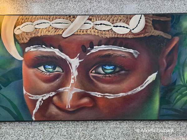 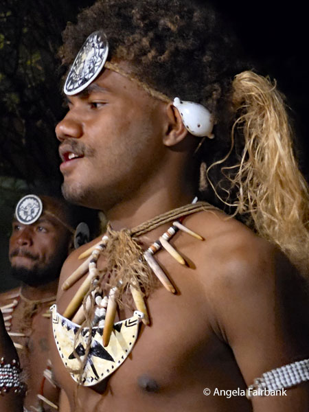 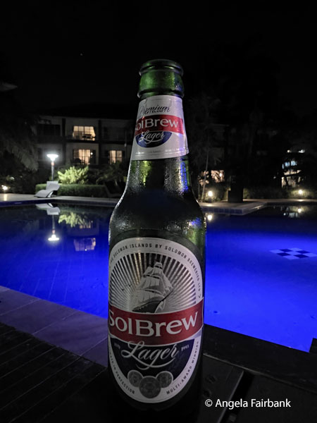 The islands have been settled since at least some time between 30,000 and 28,800 BC, with later waves of migrants, notably the Lapita people, mixing and producing the modern indigenous Solomon Islanders population. In 1568, the Spanish navigator Álvaro de Mendaña was the first European to visit them. Though not named by Mendaña, it is believed that the islands were called the Solomons by those who later received word of his voyage and mapped his discovery. Mendaña returned decades later, in 1595, and another Spanish expedition, led by Portuguese navigator Pedro Fernandes de Queirós, [mentioned above in relation to Vanuatu], visited the Solomons in 1606. In June 1893, Captain Herbert Gibson of HMS Curacoa declared the southern Solomon Islands a British protectorate. During World War II, the Solomon Islands campaign (1942-1945) saw fierce fighting between the United States, British Imperial forces, and the Empire of Japan, including the Battle of Guadalcanal. The official name of the then-British administration was changed from the British Solomon Islands Protectorate to The Solomon Islands in 1975, and self-government was achieved the following year. Independence was obtained, and the name changed to ... Solomon Islands (without the definite article) in 1978. At independence, Solomon Islands became a constitutional monarchy. The King of Solomon Islands is Charles III, who is represented in the country by a governor-general appointed on the advice of the prime minister. While English is the official language, only 1-2% of the population are able to communicate fluently in English. However, an English creole, Solomons Pijin, is a de facto lingua franca of the country spoken by the majority of the population, along with local indigenous languages. Pijin is closely related to Tok Pisin spoken in Papua New Guinea. The number of local languages listed for Solomon Islands is 74, of which 70 are living languages and four are extinct, according to Ethnologue, Languages of the World. Western Oceanic languages (predominantly of the Southeast Solomonic group) are spoken on the central islands. Polynesian languages are spoken on Rennell and Bellona to the south; Tikopia, Anuta, and Fatutaka to the far east; Sikaiana to the northeast; and Luaniua (Ontong Java Atoll) to the north. The immigrant population from Kiribati (the i-Kiribati) speak Gilbertese. Most of the indigenous languages are Austronesian languages. The Central Solomon languages such as Bilua, Lavukaleve, Savosavo, and Touo constitute an independent family within Papuan languages. Thursday, June 25, 2026: Honiara, Guadalcanal, Solomon Islands, the Hapi (sic) Islands Our Honiara City tour today, with our guide, Jeffrey, and driver, Jimmy, began at Solomon ports, where we were introduced to the various regions of Solomon Islands through their flags and wooden carved representative tribespeople as well as a monument dedicated to the Solomon Scouts, who aided US Marines during the Battle of Guadalcanal. The only birds I saw here were Eurasian Tree Sparrows (Passer montanus), not native to the islands but a common, established invasive species found in small groups throughout the central business district. 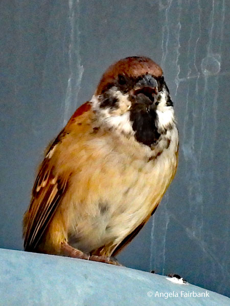 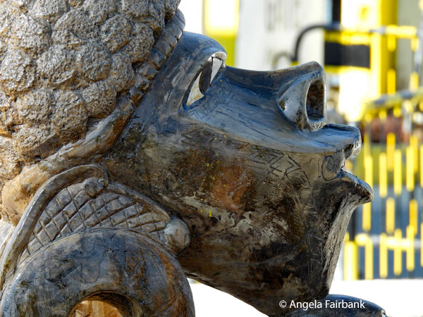 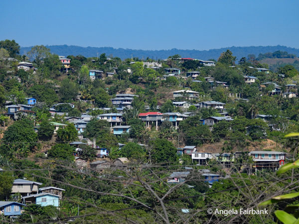 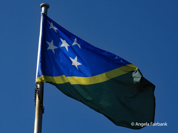 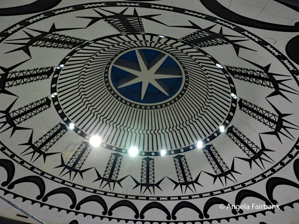 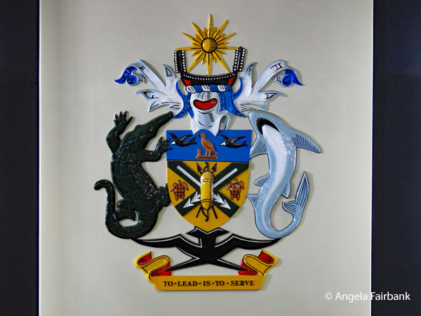 We next visited the Guadalcanal American Memorial, dedicated to the Americans and Allies who participated in the Guadalcanal Campaign from August 7, 1942, to February 9, 1943, which eventually led to the liberation of the Solomon Islands. Situated on a hill, it provided us with views across Iron Bottom Sound, named for numerous warships resting on the floor of this deep-water harbour, which had provided anchorage for naval operations that ultimately determined the Pacific War's outcome.
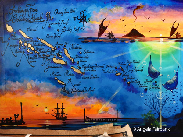
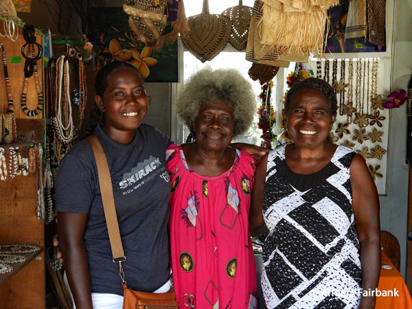
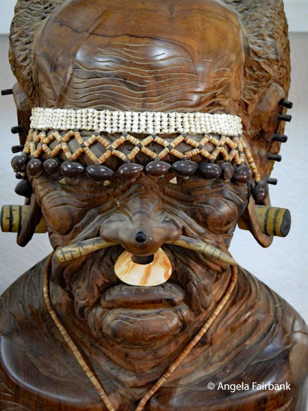 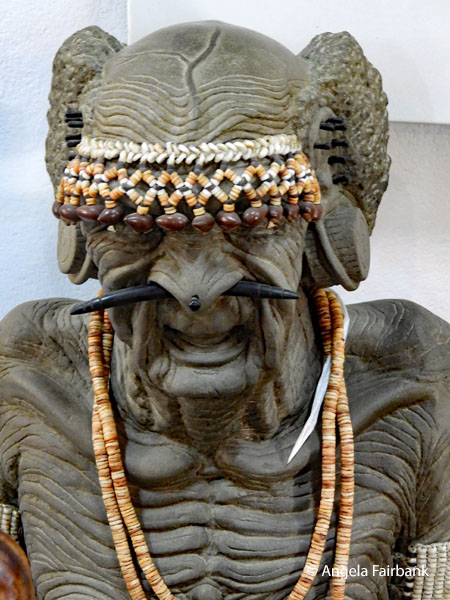  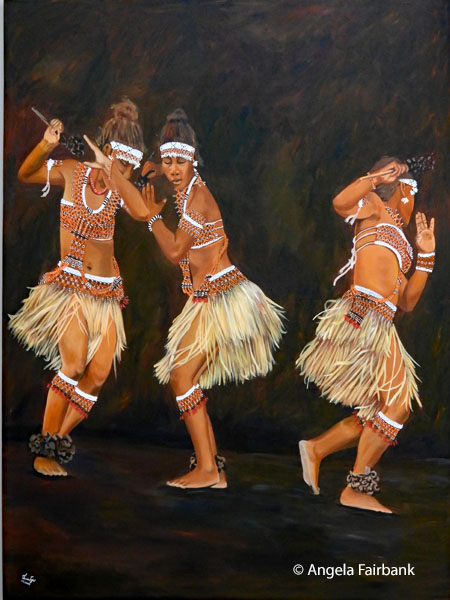 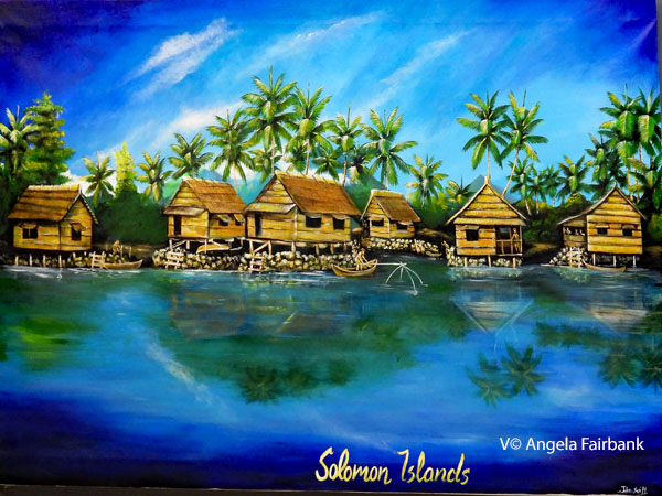 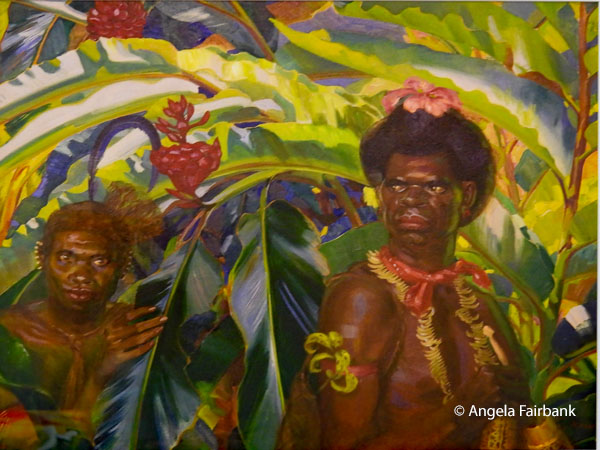 That was followed by a more interesting (to me) private tour of the National Parliament, where we were privileged to see wooden decorations and the assembly chamber as well as several photographs of current and past government leaders and decision-makers. We continued on to the National Museum, which told us that “Solomon Islands is a country made up of approximately 992 islands, including small islands, atolls and reefs, grouped into 9 regions or provinces spread across 1,600 km of ocean.” I read some of the panels in both English and Bislama, remembering especially one that describes how a particular tribe made Red Feather money, using feathers from the Red-Coloured Honey-Eater Bird (which I had photographed in Vanuatu, if you remember). So-called bird catchers cover a stick of bamboo with mulberry tree sap and attach a female honey-eater to it. They then lure the male birds by imitating the female bird sounds. The male birds, attracted by these sounds, become stuck to the glue. Their red feathers are then plucked off by the bird catcher and the birds are then allowed to fly away. Feeling rather sorry for these lovely birds, I asked why one would torture such lovely creatures. The only answer I got was that the feathers grow back! As there was a lot of well-documented information about various tribal practices to read, I could have spent more time here at this well curated museum. However, as time was limited, I hurried to another building to have a look at the National Art Gallery, which had some lovely pieces of art as you will see here. On our way back to our hotel, we made a stop at the artist colony I had attempted to visit last night, and here I took some photos of art and people but ended up buying only a fridge magnet (quelle surprise!).
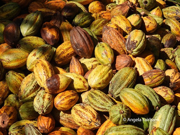
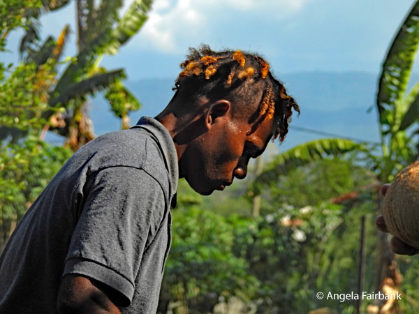
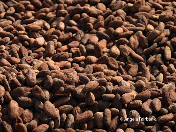
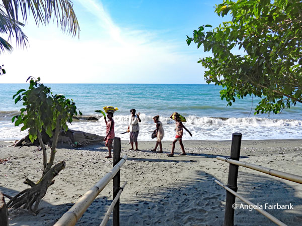
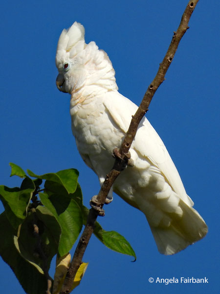
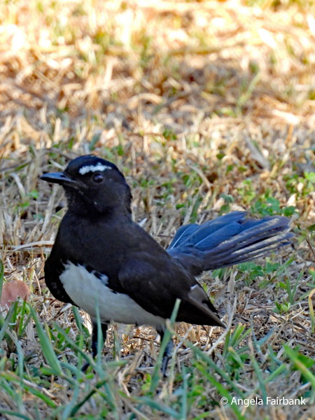
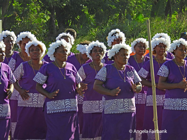
   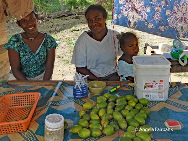  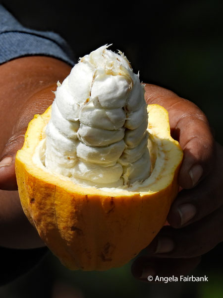 After lunch, we were driven to Amazing Grace Cocoa Farm, owned by a widow called Grace, where we were taught how traditional agricultural knowledge had been adapted to contemporary markets. A cacao fruit was cut open for us to see its seeds, which were then removed and sorted by two young men. Yet another dozen coconuts were split open for us so we could drink the water, and yet another demonstration was given of how the flesh was scraped out and squeezed through a cloth to produce coconut milk, although this time the man had a more sophisticated machine made of wood to do the squeezing instead of his own hands. We were then shown drying cacao beans, which smelled delicious, prior to their being roasted and ground up by hand with a large pestle and mortar. We were then offered samples of the resulting chocolate, but we all found it quite bitter and hence unsellable in this state. We were offered other snacks, none of which I tried, but instead wandered down to the beach and photographed some flowers and people and then these two birds that suddenly flew into the property, a Solomon Islands Cockatoo (Cacatua ducorpsii), also known as Ducorp's Corella, Solomons Cockatoo, Ducorp's Cockatoo, or Broad-crested Corella, and a Willie Wagtail (Rhipidura leucophrys). On our way back to the hotel, we stopped spontaneously at a roadside market where a church choir dressed in purple and white was singing and dancing. We negotiated and were able to video and photograph their performance as well as take a few shots of the market stalls and people. One young man seen here in the antepenultimate image for today has very stained teeth, most probably from chewing betel nut, which is a habit here.
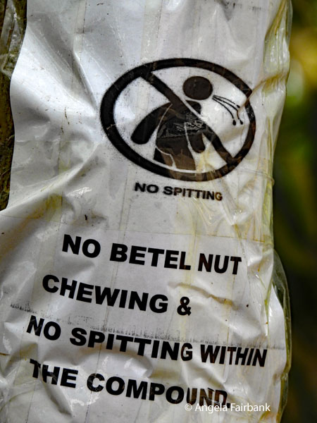
    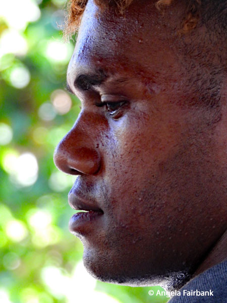  This is what Wikipedia says about it: “Betel nut chewing, also called betel quid chewing or areca nut chewing, is a practice in which areca nuts (also called betel nuts) are chewed together with slaked lime and betel leaves for their stimulant and narcotic effects, the primary psychoactive compound being arecoline...It can sometimes include other substances for flavoring and to freshen the breath, like coconut, dates, sugar, menthol, saffron, cloves, aniseed, cardamom, and many others... The preparation is not swallowed but is spat out after chewing. Chewing results in permanent red stains on the teeth after prolonged use. The spit from chewing betel nuts, which also results in red stains, is often regarded as unhygienic and an eyesore in public facilities in certain countries. Betel nut chewing is addictive and causes adverse health effects, mainly oral and esophageal cancers, and cardiovascular disease.” Our dinner was back at the hotel by the pool, a lovely setting where I sipped on a Solbrew, the local beer.
     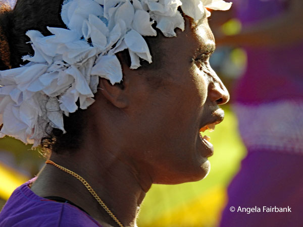 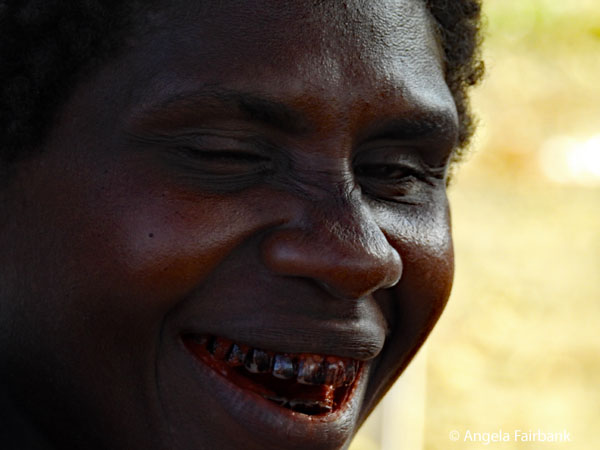  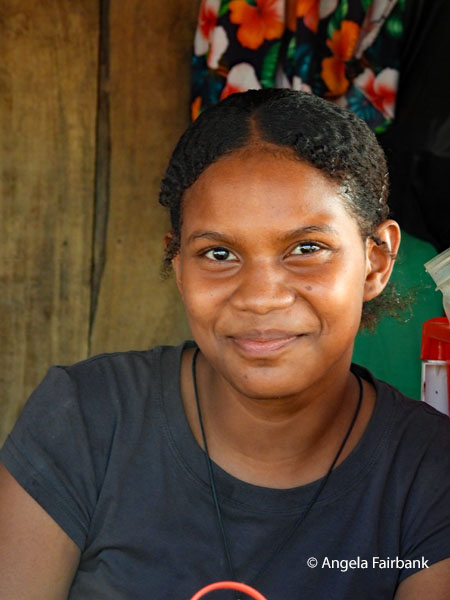 Friday, June 26, 2026: Honiara, Guadalcanal, Solomon Islands
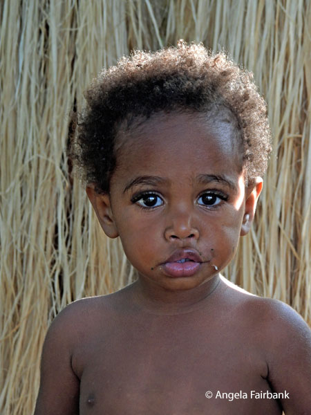
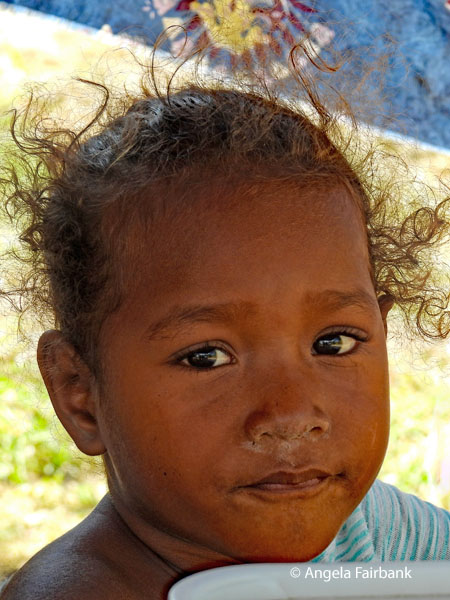
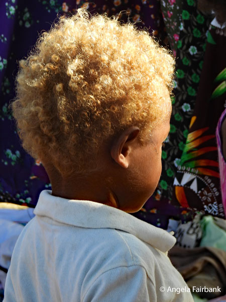
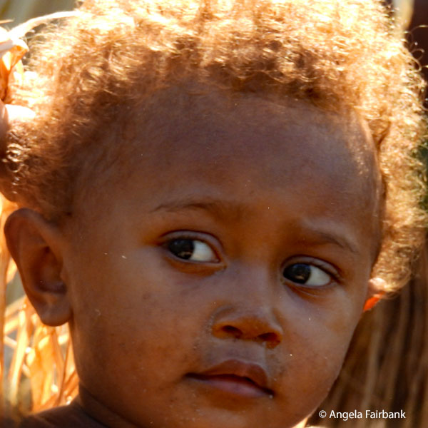
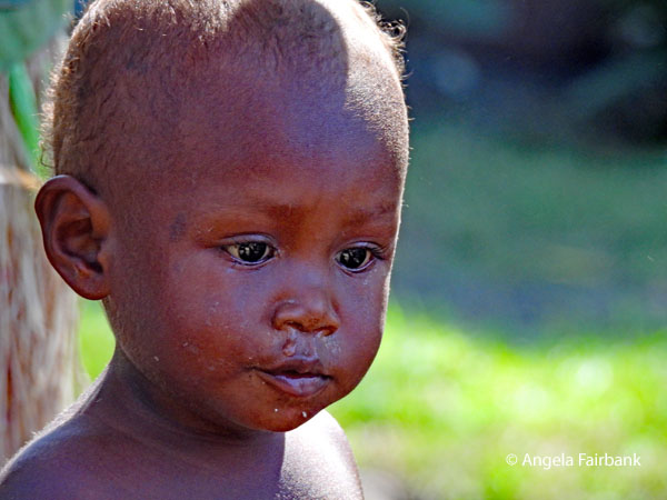
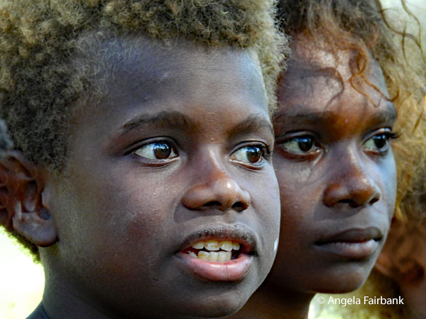
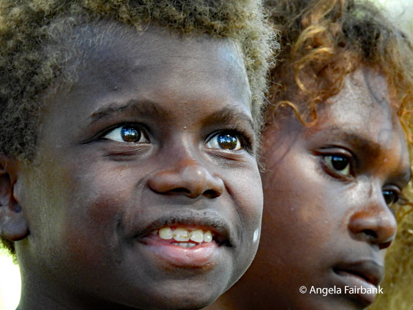
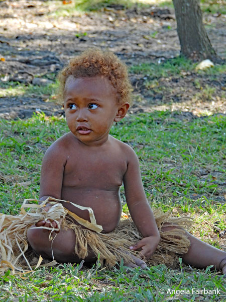
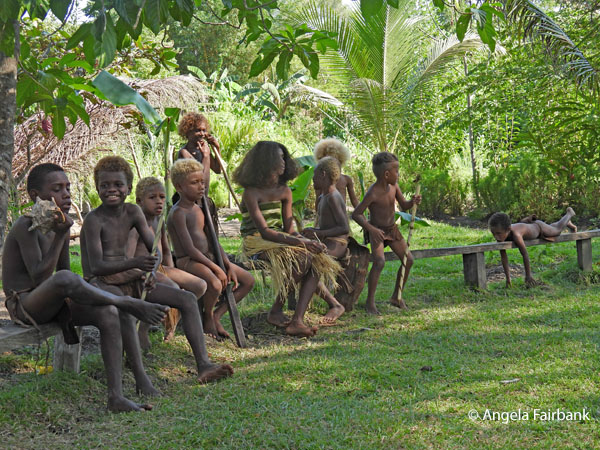
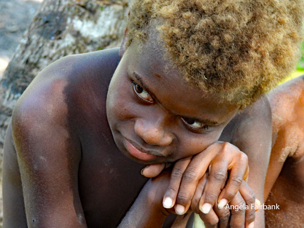
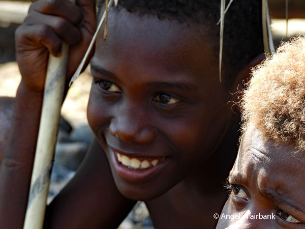
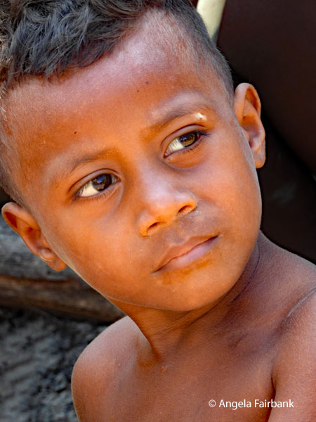
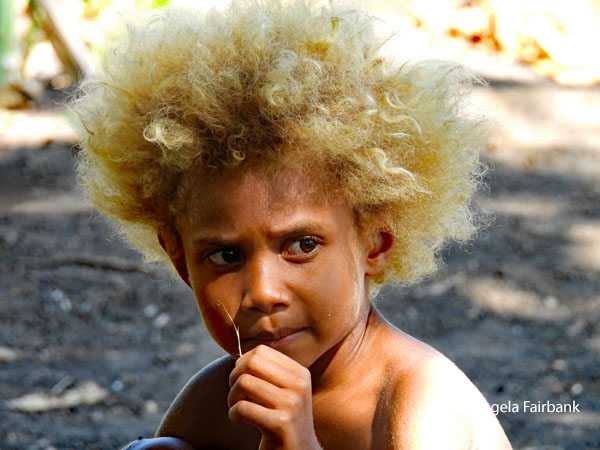
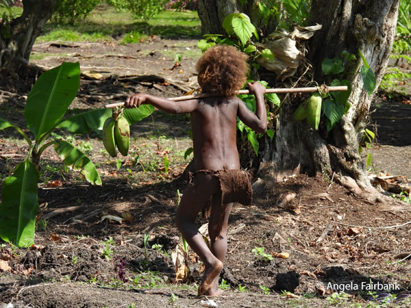
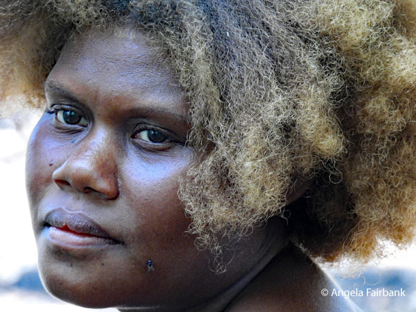
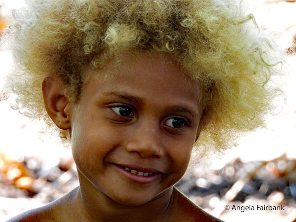
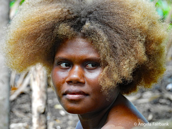
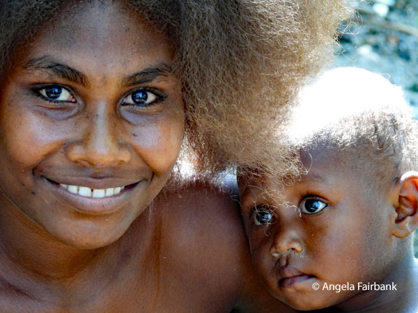
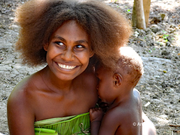
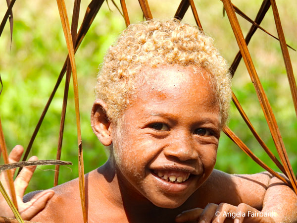
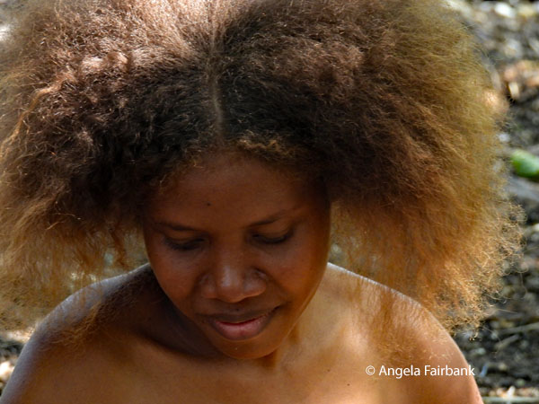
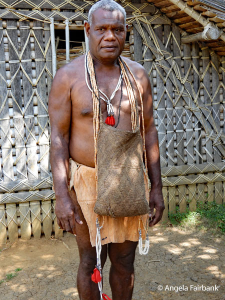
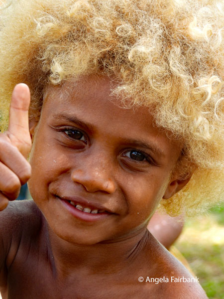
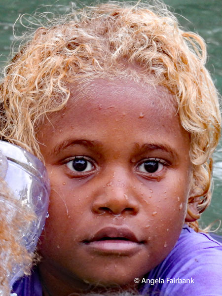
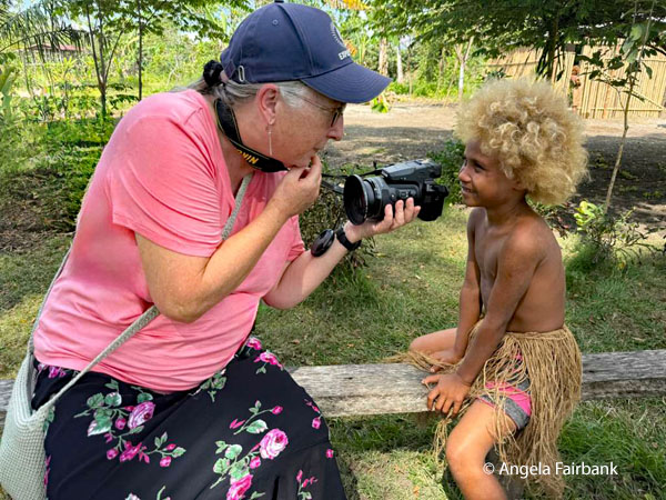
At our tour leader's talk by the pool this morning, I was understandably distracted by dozens of Metallic or Shining Starlings (Aplonis metallica). Our first stop on our so-called scenic and historical tour, with Jeffrey and Jimmy again, was the Ikichi Memorial, yet another World War II monument but this time honoring Japanese Colonel Kiyonao Ichiki and his regiment, destroyed in the pivotal Battle of the Tenaru in August 1942. The memorial marks one of the large Japanese burial trenches and is situated on the grounds of the Tenaru School, which was frankly more interesting to me as a photographer, but unfortunately, all the students must have been inside their classrooms at their lessons because the only kids I saw were a couple of boys riding around on bicycles. There was a picturesque, painted chapel and some colourful flowers near the memorial, nevertheless. 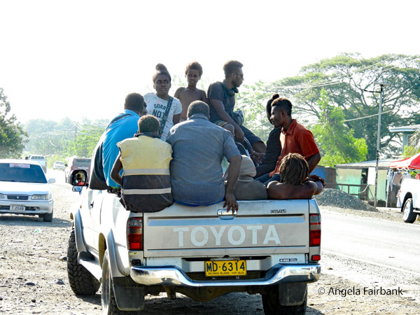 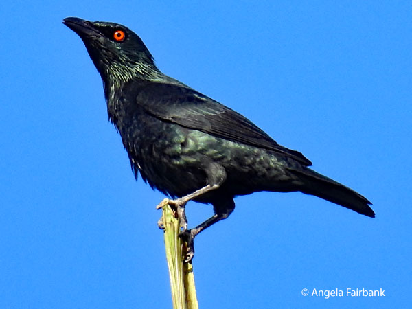 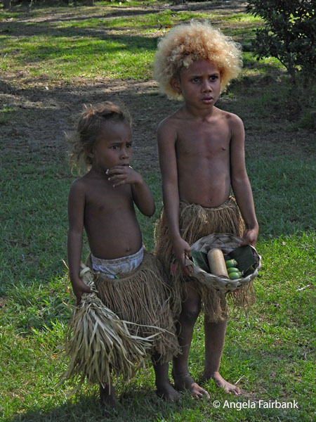 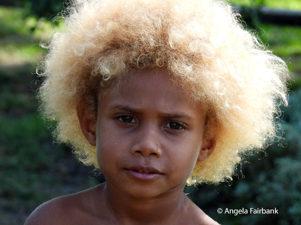 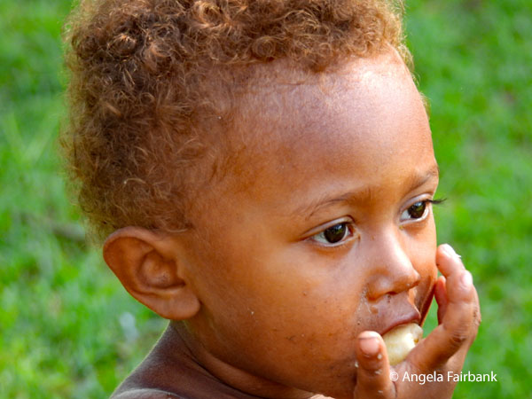 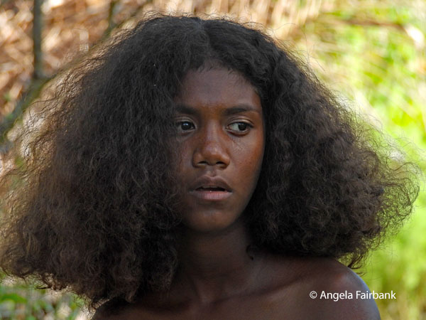 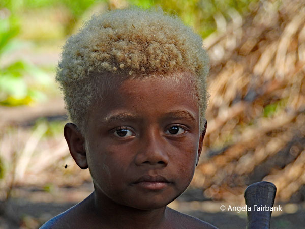 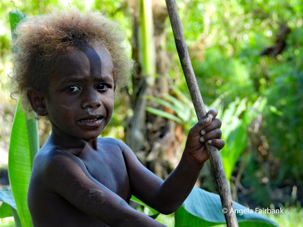 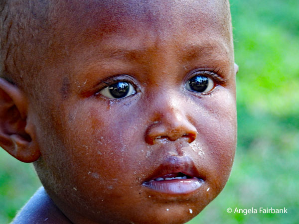 The highlight of the day for me was our next stop, Hotomai Cultural Village featuring the Bira tribe of Guadalcanal. In typical cultural village fashion, perhaps, we were lured into the grounds by two small children in authentic tribal dress standing at the gate and then out of nowhere suddenly a whole host of small kids appeared shouting at us, yielding spears, and no doubt using threatening language, asking us our business. They were truly frightening but of course we knew it was all for show. We were then invited to sit down among the attractive children and watch as a young woman not in tribal dress explained some of the rituals, had a group of women and children dance for us, and then took us to various stations where women were weaving and cooking, a young man was creating fire from rubbing wood, boys were hoeing gardens where various fruit and root vegetables were growing, and women and children were demonstrating their local ways to carry things. Basically, it was a demonstration of the traditional customs and lifestyles that Solomon Islanders have maintained for centuries. After this we were taken uphill to meet the tribal chief, a middle-aged man who shook all of our hands but didn't say much, and to take a look into his hut, which was pretty sparse with the exception of a few woven mats. We were later told he was the grandfather of the blond girl I was so fascinated with photographically speaking. I asked her name in Bislama, and she said she was Sinta. We guessed her age to be about 6 or 7. The mother you see here with the baby is called Cristina. She is 17 and does not go to school. As we all were, you are probably wondering about the blond hair that many of the children in the village have and no it was not caused by interbreeding with American soldiers. I shall explain in the next paragraph, using information from AI.
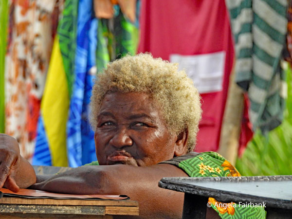
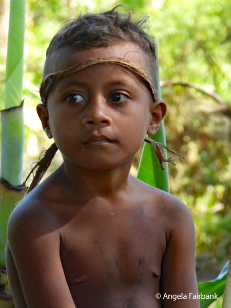 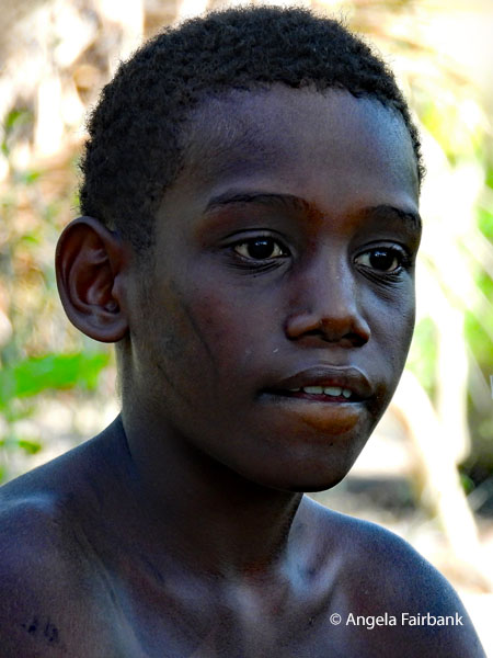 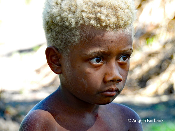 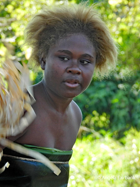 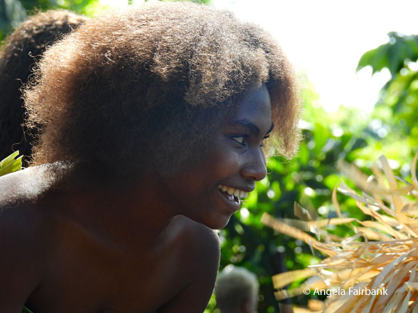 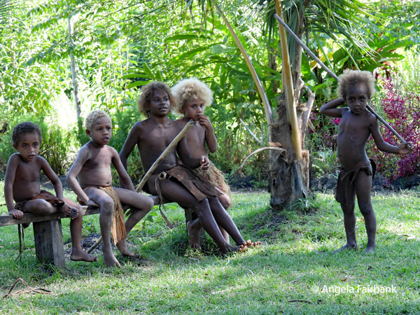 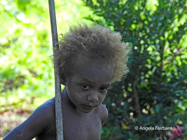 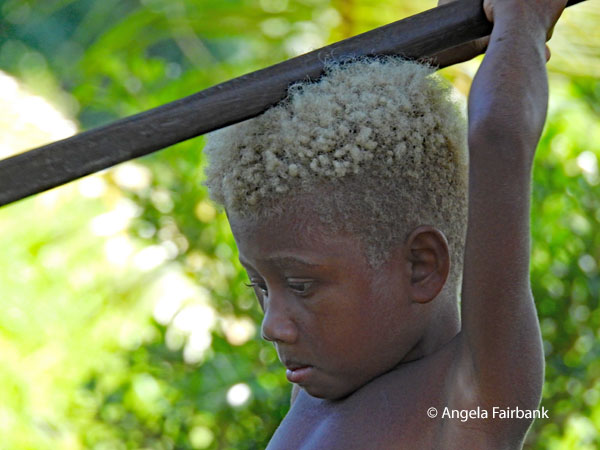 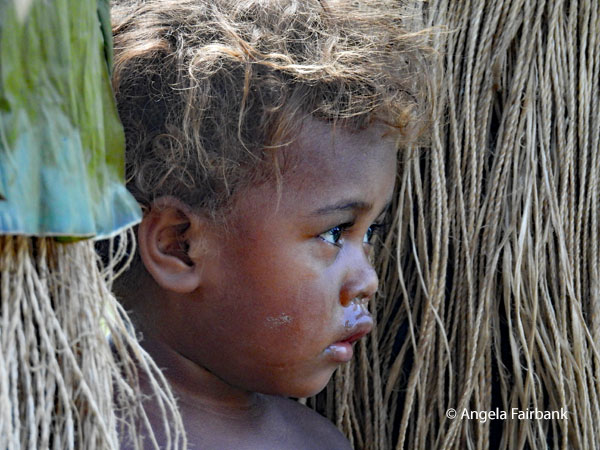 “People of the Solomon Islands are one of the only indigenous populations in the world with dark skin and naturally blond hair. About 5 to 10% of the local population naturally express this striking trait... [It] is not a result of European contact or mixing. Genetic research shows it evolved entirely independently from European blond hair.... Researchers discovered that this blond hair is tied to a unique mutation in the TYRP1 gene. A single letter change in the DNA structure of the Melanesian people affects melanin production, creating blond hair while leaving their dark skin pigmentation unchanged. ...The trait is common among youth and tends to darken as the individual ages.” Our local tour guide Jeffrey was wearing a ball cap the entire time we saw him, but he told us that he too had had blond hair as a child although it was now more of a light brown colour.
      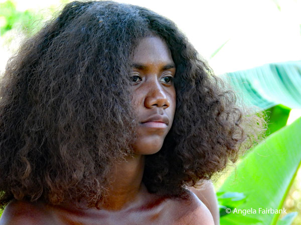 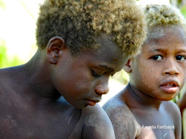 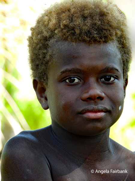 We next visited Henderson Field and Memorial Garden located at the airport and one of the Pacific War's most strategically important airfields. A number of locals were sitting around on the grass, beneath the tall trees. At least there was a cool breeze and somewhere for us to sit too as others of our tour group wandered around and read the names on many of the crosses.
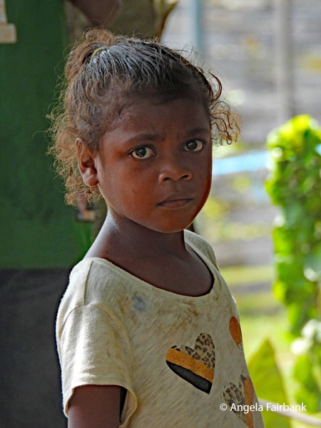
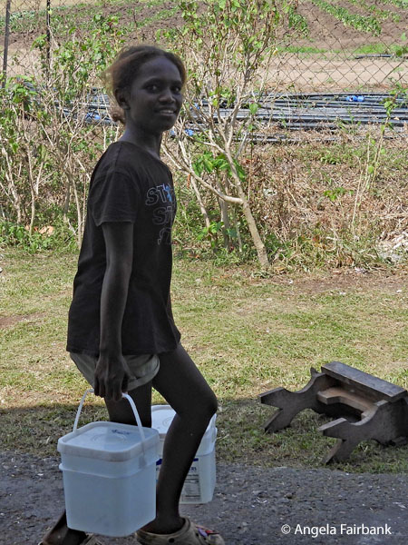
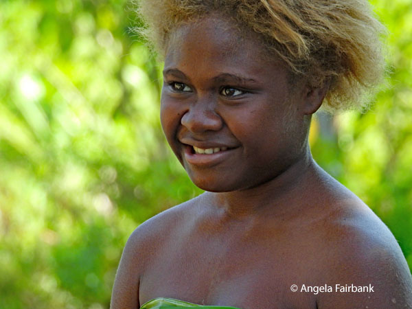     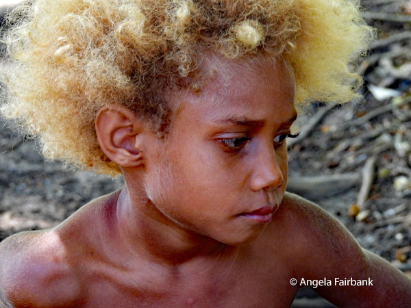 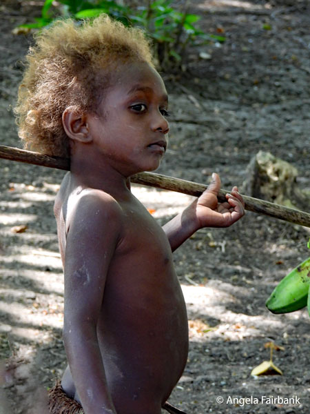   We then stopped at the Pagoda Tunnel, an underground shelter built and used by Japanese forces as a communication and flight operations command centre during the Battle of Guadalcanal. This too was the location of a bar and toilets, where I photographed this warning against the chewing of betel nut, and the sad-looking girl with the heart on her grey t-shirt. Due to a lack of electricity, we were told to come back later so we headed off to visit the Betikama Museum, an open-air war museum, located on the grounds of Betikama High School, containing yet another collection of rusting war memorial with the bigger bits lying outside on a grassy field and the smaller bits inside an abandoned, falling down building. My positive memory of it was of this smiling young girl carrying buckets.
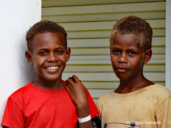
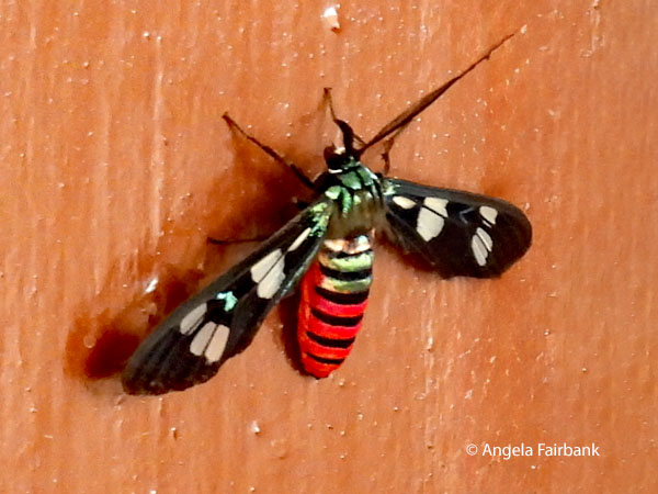
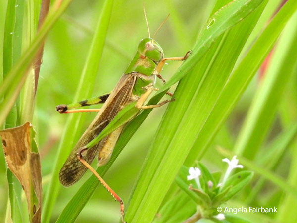
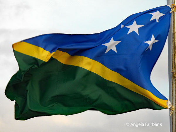
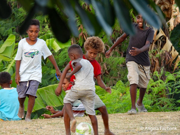
     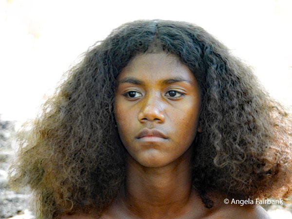  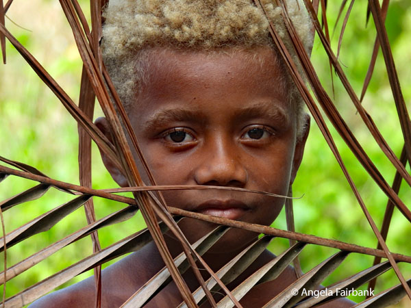  For lunch, since our planned venue was closed due to the electricity being out, we were taken to a Chinese restaurant where the vegetable fried rice (twice as much as we needed) was surprisingly flavourful. I had the rest boxed up and gave it to these two handsome boys, who were hanging around outside the restaurant and seemed quite glad of it. We then returned to the Pagoda Tunnel, and although we had to climb down steps to get to it and then climb up another set of stairs afterwards, the tunnel itself was surprising short and empty so did not seem as though it would fit the purpose described above. My prize photograph here was of this spectacular-looking insect on the toilet door, a Euchromia creusa moth, known solely by its Latin name, apparently. We then headed off to Bloody Ridge, the site of one of Guadalcanal's most decisive battles on September 12-14, 1942, where I photographed this Javanese grasshopper (Valanga nigricornis) as well as an unidentified fly. Our final stop was at Mt Austin Japanese Memorial, dedicated to the 118,700 Japanese soldiers who died in the region, and where this Solomons flag was flying. On our way out, I photographed these boys playing an improvised game of soccer, a much healthier activity I thought than reading about participants of a war I had not personally lived through.
            Saturday, June 27, 2026: West Guadalcanal, Solomon Islands
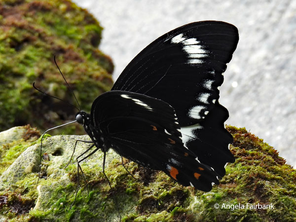
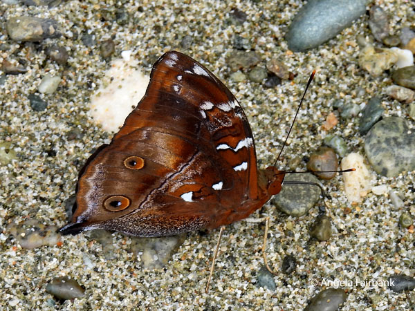
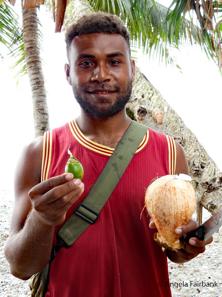
Once more with Jeffrey and Jimmy, “our exploration of western Guadalcanal today began at the Vouza Memorial, honouring Jacob Vouza, a Solomon Islands police sergeant who endured brutal torture rather than reveal Allied positions to Japanese interrogators. His extraordinary courage exemplifies how Pacific islanders contributed to Allied victory despite becoming unwilling participants in a global conflict.” Yes, you are right, I didn't write that last bit. It came straight off the tour company's itinerary. I actually stayed on the bus at that stop because I was taking care of some urgent emails, but as it was at a police station, and young recruits were out and about cleaning up garbage, the rest of our group got to chat with them and I missed a photographic opportunity. Oh well. I am sure there will be others today. 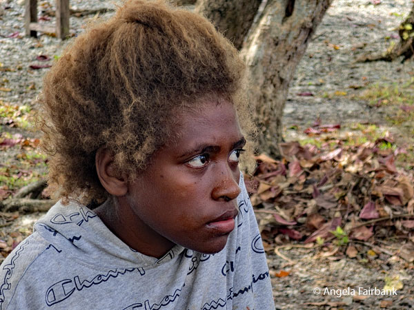 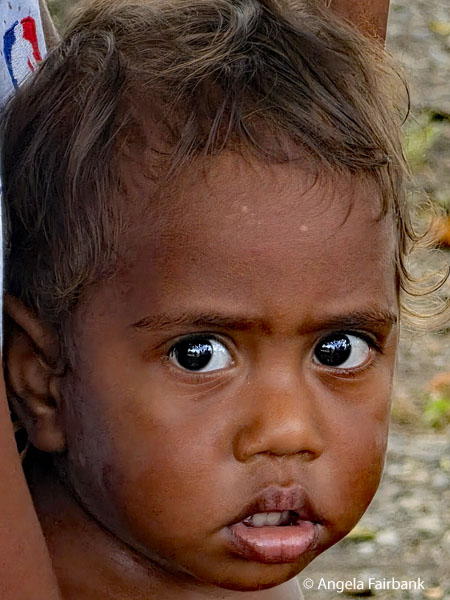 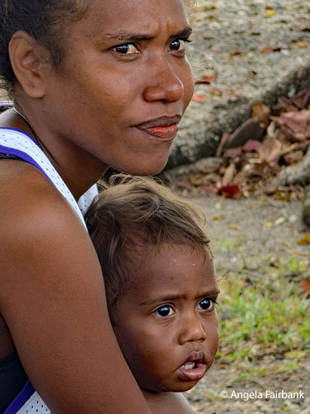 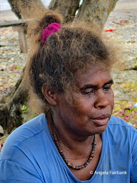 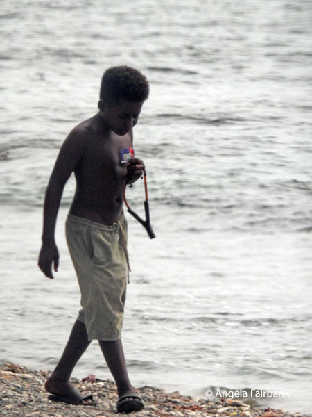 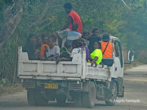 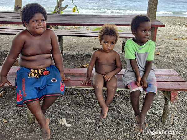 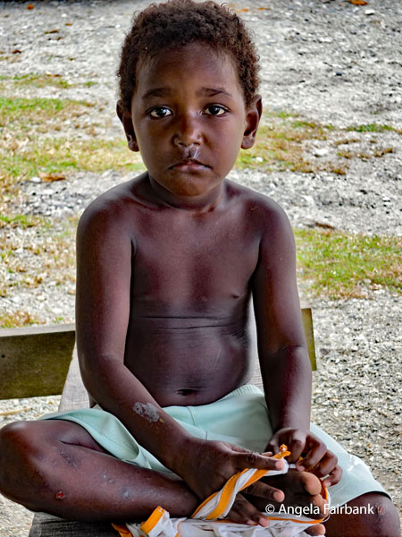 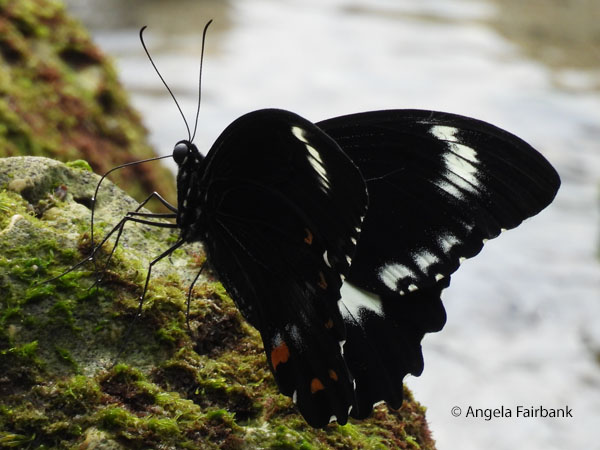 We continued westward buying some watermelon at a roadside stop that included an extremely photogenic baby, and a boy on the beach with a slingshot, before stopping at Piaru Beach, where we were encouraged to swim, snorkel or kayak. I chose none of the above and walked the beach in search of nature to photograph. I pursued these two butterflies, a Red-bodied Swallowtail (Pachliopta polydorus) and an Autumn leaf butterfly (Doleschallia bisaltide) and photographed some of the family that owned the property. A young man had come over to the table I eventually sat at carrying a wooden box of coconuts and offered to split one open for me with his large knife, but I refused, not knowing it was included in our beach visit cost (along with the snorkels and kayaks). I noticed his teeth were red so asked him if he chewed betel nut. He said yes and pulled a fresh green fruit of the areca palm from his pocket, cracked it open and extracted the seed, added some white powder from a small plastic bag I had seen on the table and had jokingly thought was cocaine and proceed to chew it. He then posed for me with a freshly cracked open coconut in one hand and a betel nut in the other.
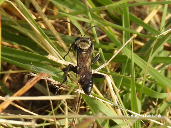
    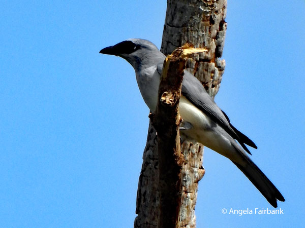 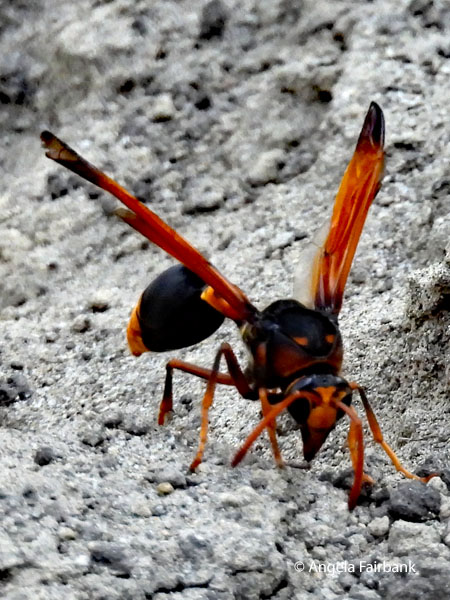 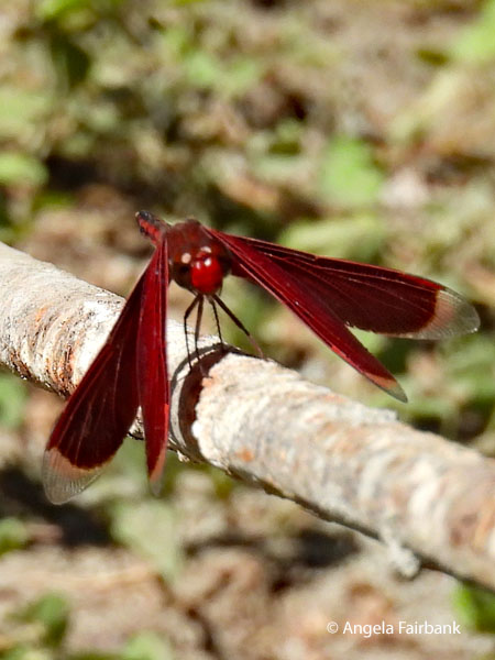   Lunch was a bit further on at B17 Dive Bungalows where the French fries were cold and the fish bony, but I had a coconut there and it was delicious. Guess where we went to next? To the Vilu Outdoor Museum, which was...guess what!...yet another open-air collection of wartime artifacts. Oh joy. At least these artifacts were somewhat better cared for and were set among flowers. I managed to photograph this Black-bellied Cicadabird (Edolisoma montanum), as well as a rather colourful and large spider wasp and this Red grasshawk (Neurothemis fluctuans) aka Common parasol or Grasshawk dragonfly.
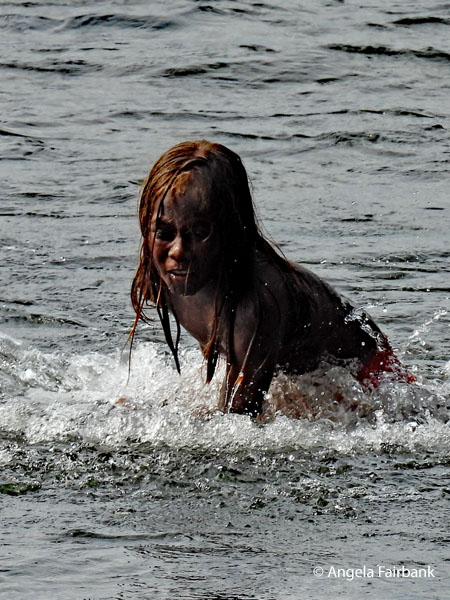
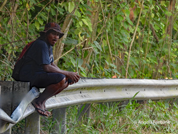
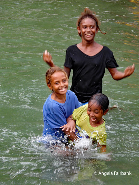
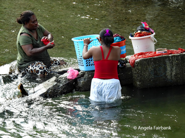 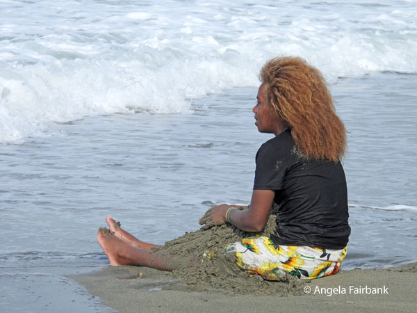 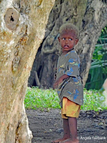 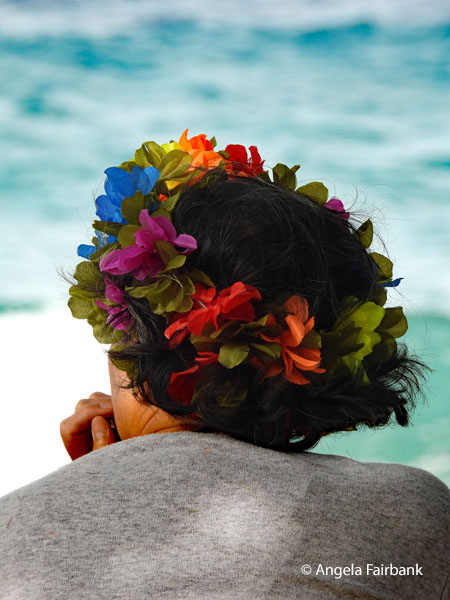 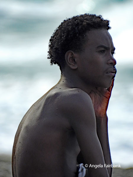 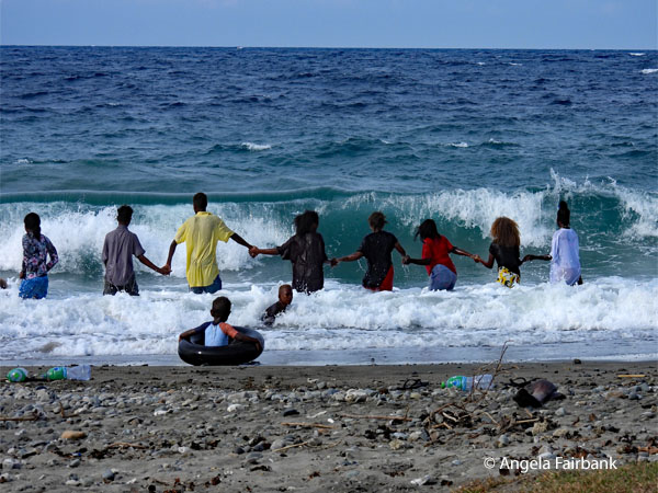 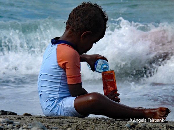 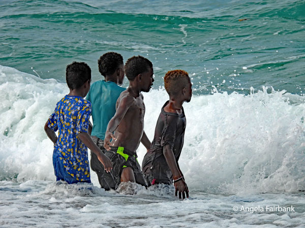 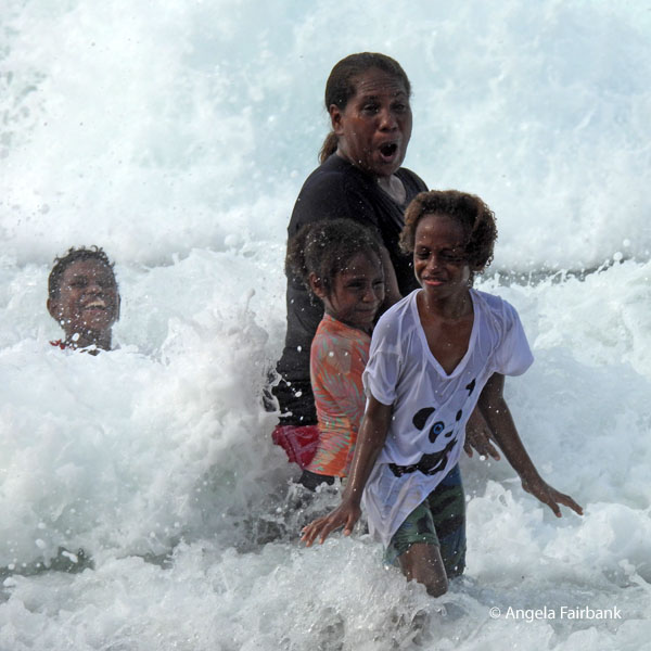 A couple of our stops on the way back to Honiara were more spontaneous as we had the extra time. We stopped at two bridges under which were streams or rivers where adult men were washing cars, adult women were washing clothes, and children were jumping in the water and swimming, actually asking us to photograph them, and saying thank you to us when we did. Between these two flows of water we visited Bonege Beach, the site of the Kinugawa Maru, a Japanese WWII wreck that now serves as an underwater memorial and artificial reef. We were privileged to be there during Saturday afternoon when locals were enjoying a day off, picnicking, playing, and jumping in the waves. What super opportunities to photograph locals enjoying life.
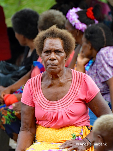 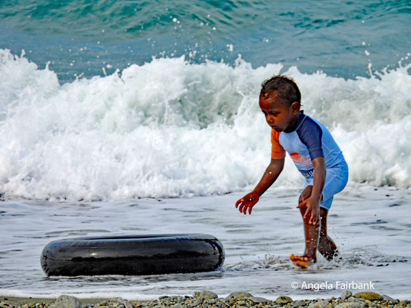 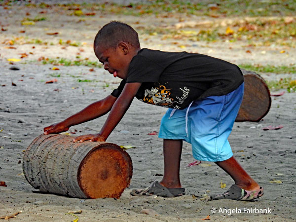 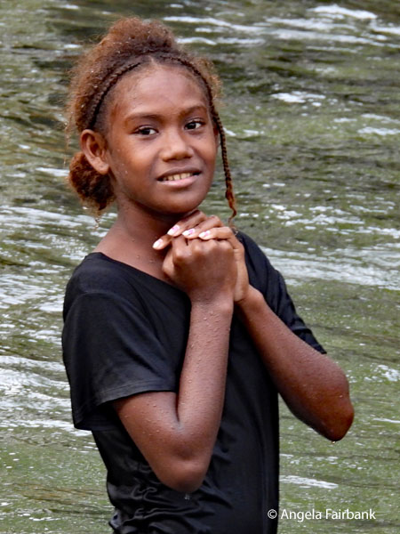 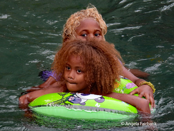 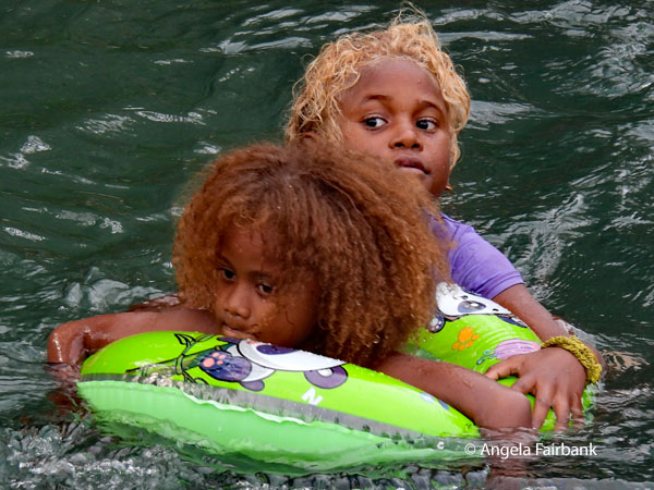 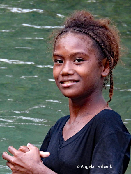 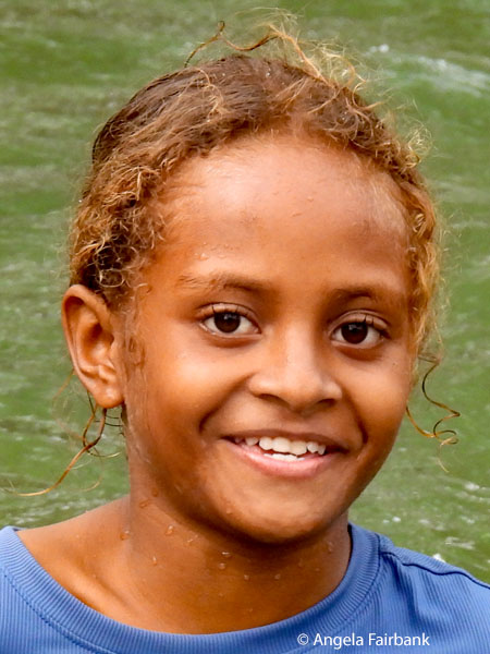    I will end this visit to Solomon Islands with an unexpected photo sent to me by one of my traveling companions. In it, I am offering to show Sinta the shot I took of her yesterday.
 Sunday, June 28, 2026: Honiara, Solomon Islands to Manila, the Philippines (14.5933° N, 120.9746° E) via Port Moresby, Papua New Guinea, the Land of the Unexpected 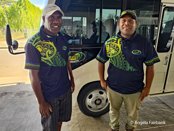 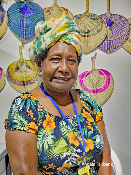 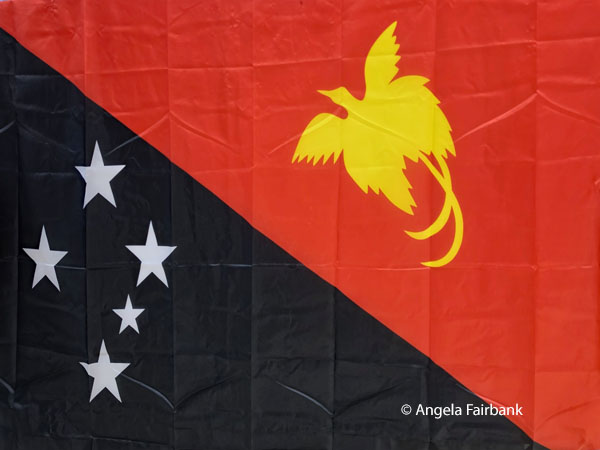 These first two photos were taken this morning at the airport. The first is of our Solomon Islands driver, Jimmy, and guide, Jeffrey, while the second is of the colourful souvenir vendor at the airport shop, where I bought a hand-woven fan in the colours of the Solomons flag, in the belief that the next part of our trip would likely be a lot more humid (and I was right). The third photo is of the Papua New Guinea flag because we flew there via Air Niugini this morning. To our surprise and delight, despite the long line up to get through security and into the transit lounge, it contained the best souvenir shops of our trip. Not only did I end up spending rather more money than I thought I would, I was really rather happy about the whole experience and knew I would feel not only confident but also excited to return to this country, possibly even as early as next year if I can, to experience their tribal tourism. Unfortunately, having not been allowed to go outside the airport, I cannot count it as a country visited this time.
Our second flight, also by Air Niugini, to Manila, the capital of the Republic of the Philippines, was longer and we arrived at our accommodation, the rather prestigious and historic Manila Hotel, in the dark so really didn't see anything. The Philippines is an archipelagic country in Southeast Asia located in the western Pacific Ocean, and consists of about 7,641 islands, with a total area of about 300,000 square kilometres, broadly categorized in three main geographical divisions from north to south: Luzon, Visayas, and Mindanao. With a population of over 114 million, it is the world's twelfth-most-populous country. The Philippines is bounded by the South China Sea to the west, the Philippine Sea to the east, and the Celebes Sea to the south. It shares maritime borders with Taiwan to the north, Japan to the northeast, Palau to the east and southeast, Indonesia to the south, Malaysia to the southwest, Vietnam to the west, and China to the northwest. It has diverse ethnicities and a rich culture. Manila, the country's capital, and Quezon City, its most populated city, are both part of Metro Manila. Negritos, the archipelago's earliest inhabitants, were followed by waves of Austronesian peoples. The adoption of animism, Hinduism with Buddhist influence, and Islam established island-kingdoms. Extensive overseas trade with neighbours such as the late Tang or Song empire brought Chinese people to the archipelago as well. They gradually settled in and intermixed over the centuries. The arrival of the explorer Ferdinand Magellan marked the beginning of Spanish colonization. In 1543, Spanish explorer Ruy López de Villalobos named the archipelago las Islas Filipinas in honour of King Philip II. Catholicism became the dominant religion, and Manila became the western hub of trans-Pacific trade. Hispanic immigrants from Latin America and Iberia also selectively colonized the islands. The Philippine Revolution began in 1896 and became entwined with the 1898 Spanish-American War. When Spain ceded the territory to the United States, Filipino revolutionaries declared the First Philippine Republic. The ensuing Philippine-American War ended with the United States controlling the territory until the Japanese invasion of the islands during World War II. The Philippines became independent in 1946 after the United States reclaimed the Philippines from the Japanese. Since then, the country notably experienced a period of martial law from 1972 to 1981 under the dictatorship of Ferdinand Marcos, while his subsequent overthrow by the People Power Revolution in 1986 returned it to a democracy. The Philippines is an emerging market and a developing and newly industrialized country, whose economy is transitioning from being agricultural to service- and manufacturing-centered. It has a variety of natural resources and a globally-significant level of biodiversity. The country is also part of multiple international organizations and forums, mainly in ASEAN. Despite its fast economic growth, it continues to struggle with inequality, widespread corruption, and vulnerability to natural disasters due to its location within the Pacific Ring of Fire, and to the equator, making it prone to earthquakes, monsoon rains, and typhoons, to which the Philippines has built a resilience. The Philippines is listed as having 186 languages, 182 of which are extant while the other four no longer have any known speakers. Most native languages are part of the Philippine branch of the Malayo-Polynesian languages, which is a branch of the Austronesian language family. Spanish-based creole varieties, collectively known as Chavacano, are also spoken. Many Philippine Negrito languages have unique vocabularies that survived Austronesian acculturation. Filipino and English are the country's official languages. Filipino, a standardized version of Tagalog, is spoken primarily in Metro Manila. Filipino and English are used in government, education, print, broadcast media, and business, often with a third local language. Code-switching between English and other local languages, notably Tagalog, is common. The Philippine constitution provides for Spanish and Arabic on a voluntary, optional basis. Spanish, a widely used lingua franca during the late nineteenth century, has declined greatly in use, although Spanish loanwords are still present in Philippine languages. Arabic is primarily taught in Mindanao Islamic schools. In 2020, the top languages generally spoken at home were Tagalog, Binisaya, Hiligaynon, Ilocano, Cebuano, and Bikol. So, when was I last in the Philippines, you ask? Probably sometime in the late 1990s. I went there for work, of course, because the multinational conglomerate I was employed by in Hong Kong often had me accompany customers over there to visit its plywood mills in Manila and Cotabato. However, I also remember spending some of my own holidays there - in Cebu and Baguio specifically. I remember especially enjoying the singing waiters in Manila City. I wonder how much things have changed there over the last 25 to 30 years. Monday, June 29, 2026: Manila, the Philippines, the Pearl of the Orient Seas When our guide and driver in Manila, Angelo and Mario, respectively, met us this morning, they greeted us with the words Mabuhay (Welcome). This word can also be used when toasting, to say cheers. I wished them Magandang umaga (Good morning) and was told that by adding the word po to literally everything, it makes it more respectful. I told them Salamat (Thank you) and added po though during my years in Hong Kong I had been under the impression that the word po meant more like 'very much.' Hmm. In any case, Angelo was continually smiling and full of information, but I'm afraid I dropped off a few times - my lack of sleep no doubt catching up with me. We first briefly visited the Roman Catholic Cathedral of Manila also known as Manila Cathedral or the Minor Basilica of the Immaculate Conception, the seat of the first independent diocese and archdiocese in the Philippines, where I was excited to hear the organ being played. Apparently, it is the largest pipe organ in the Philippines and Southeast Asia, built in 1958 by the Dutch firm Pels & Zoon, and features four manuals, 70 stops, and over 5,000 pipes. Next, after meeting and photographing some friendly tourist police, we walked to the historic city of Intramuros containing 4-kilometres (3-miles) of walls up to 13 metres thick, and fortifications. It was established by the Spaniards in 1571 on the site of a precolonial Islamic settlement site called Maynila and contained barracks, government buildings, schools, large houses, 15 churches, and 6 monasteries. Intramuros was largely destroyed during the Battle of Manila in 1945 at the end of WWII (arrgh! another mention of WWII!) We walked along the walls and looked over at a polluted river, bordered by slums, and watched as a young boy rowed a make-shift boat of recycled garbage using plastic food containers as oars. Quite fascinating. We had indeed entered a different dimension, though we had had another clue by traveling in the thick traffic here. I tried souvenir shopping for a fridge magnet in the few stores available but unfortunately, no one was able to provide change for a 1,000-peso bill (equivalent to about USD16.00). 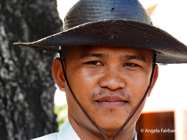 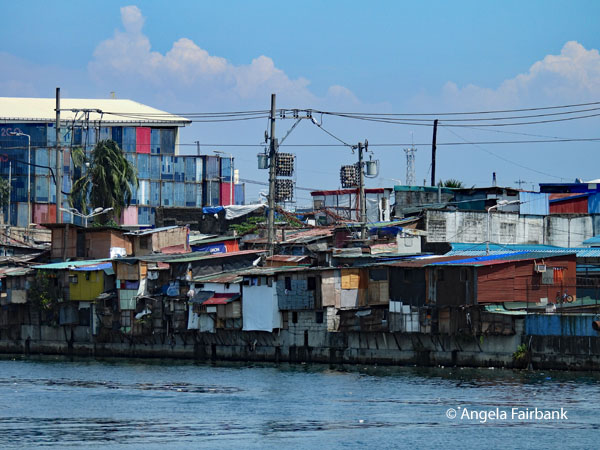 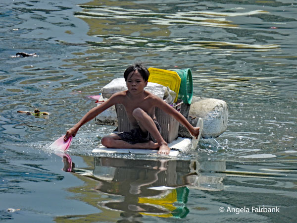 Other sites we visited today were the grounds of Fort Santiago, which has guarded the entrance into Manila Bay during centuries of conflict, and served as a military headquarters, a prison, and an execution site during various periods of foreign occupation. It was destroyed by an earthquake in 1645. This site included Baluartillo de San Francisco Javier, which was built to fortify the defenses of Fort Santiago against attacks, and was used by both the USA and Japan during the Second World War...oh not again! To block out stories of war, and of local hero Dr. Jose Rizal, who was martyred during in 1896, I admired and photographed the purple flowers of the Giant Crape-Myrtle trees (Lagerstroemia speciosa) and the orange blossom of the Flamboyant trees (Delonix regia also known as Flame Trees or Royal Poinciana)
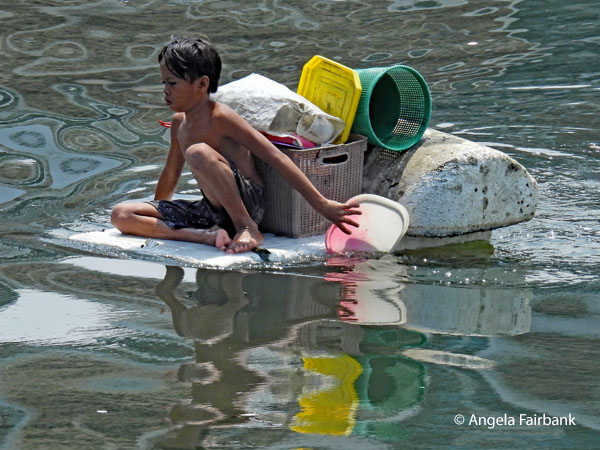 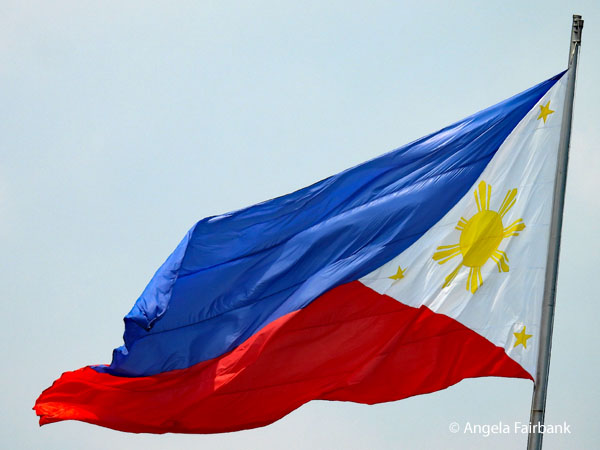 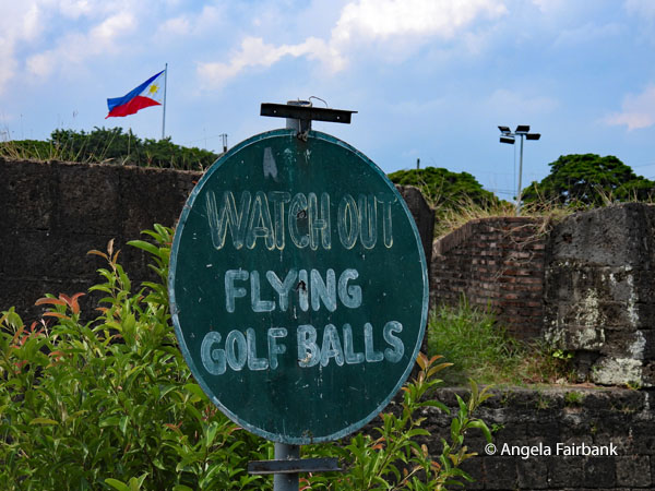 The Baluarte de San Diego was a bit of a climb and the oldest structure in Intramuros, having been built originally as a watchtower in 1587. It was located next to a golf course so there were signs warning us to watch out for flying golf balls. We actually realised later in the day that we could see the Baluarte and the golf course from our hotel room but more about the hotel later. Besides more sparrows, there were some other birds that looked black with a flash of white feather on their lower back, but I was unable to identify them. We were also seeing Pink Mussaenda (Mussaenda philippica) flowers, which I learned are native to the Philippines.
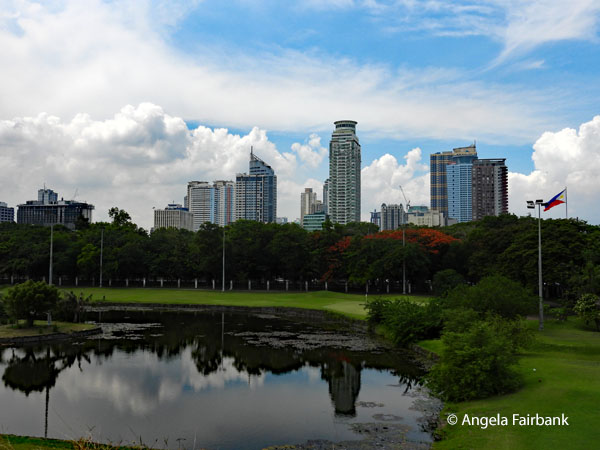 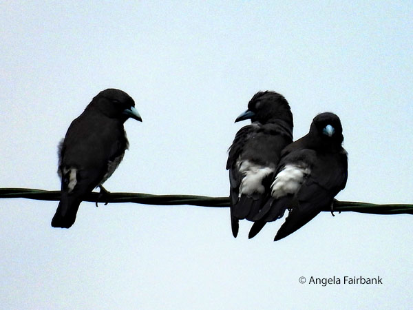 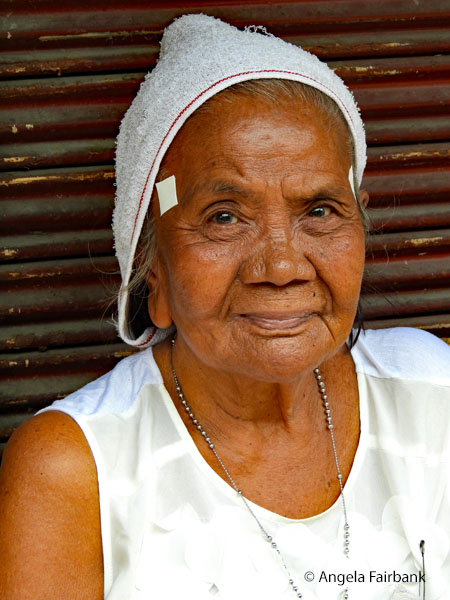 Our next stop was at Binondo, the world's oldest Chinatown, established by Chinese traders four centuries ago to serve Spain's galleon trade that connected Asia to the Americas. We walked along its uneven sidewalks and alleys to see red eggs, tea eggs, custard tarts, and dried shrimp among other local treats, and were invited to try packaged pastries made of purple yam called Ube. This older woman in white with what seems like a towel over her head was sitting on one sidewalk and let me photograph her. Also amazing was the electrical wiring system, the likes of which I remember last seeing in Bangkok in 2018. I also photographed this Philippine Pied-Fantail (Rhipidura nigritorquis) as we walked by.
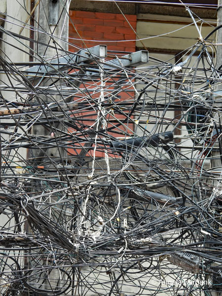 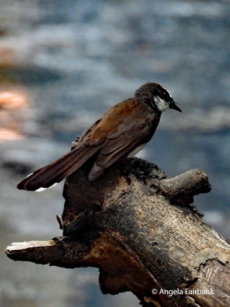 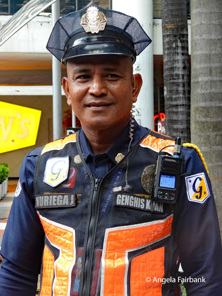 For lunch, we were driven to a mall to buy our own meal but not seeing anything tempting, my roommate and I instead shopped for souvenirs but personally I did not find anything suitable. Not having eaten, I ended up exhausted. The last photo I have for today was of a mall security staff member, who appeared to be working for a company called Genghis Kahn. The final stop of the day in the midst of a downpour was to Rizal Park, described as the 'birthplace of Philippine nationalism' and the final resting place of Philippine national hero, Dr. Jose Rizal. It contains statues of the reenactment of Rizal's execution, showing him, surprisingly, not blindfolded and with his back to the firing squad.
Tuesday, June 30, 2026: Manila, the Philippines to Palau (7.5150° N, 134.5825° E) After breakfast at our hotel - but hey! I promised to tell you about it, didn't I? So, for our two nights in Manila we stayed at the famous Manila Hotel, inaugurated on July 4, 1912, and the Philippines' oldest premier five-star hotel. A famed social hub, it served as General Douglas MacArthur's residence from 1935 to 1941, and has hosted a massive array of dignitaries, royalty, and international celebrities ranging from the Beatles and Michael Jackson to Ernest Hemingway and Marlon Brando. During the Japanese occupation of Manila, US General Douglas MacArthur used the penthouse as his military headquarters and home. The hotel has also served as a key stage for political turbulence, most notably when former President Corazon Aquino delivered a famous speech in the heritage room that ignited the movement against the Marcos dictatorship. Anyway, back to the present. We packed up and checked out of the prestigious Manila Hotel and all three times that we have passed through the lobby, it has been through a crowd of graduating university students and their celebrating families. On our way out this time, I had the opportunity to buy a Manila Hotel t-shirt at the hotel shop, but unfortunately, they had no fridge magnets. Climbing into our bus with our suitcases, we first visited the lechon market, lechon being an entire suckling pig spit-roasted over coals until the skin is so crispy it's like candy. You will see some examples below. It rained off and on today and this older man with his bicycle with a much-repaired front tire on the wet street was the lucky recipient of some lechon meat that Chris bought. 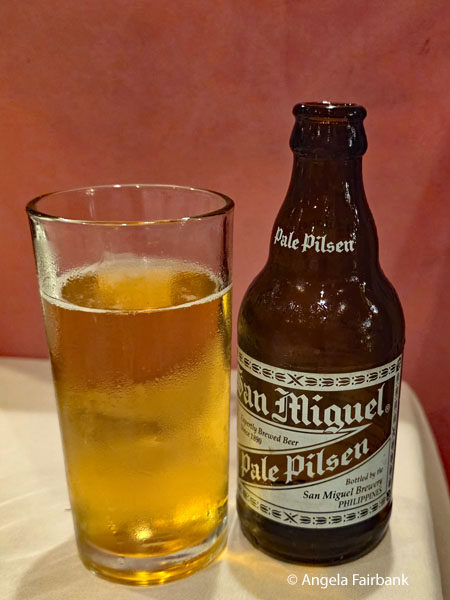 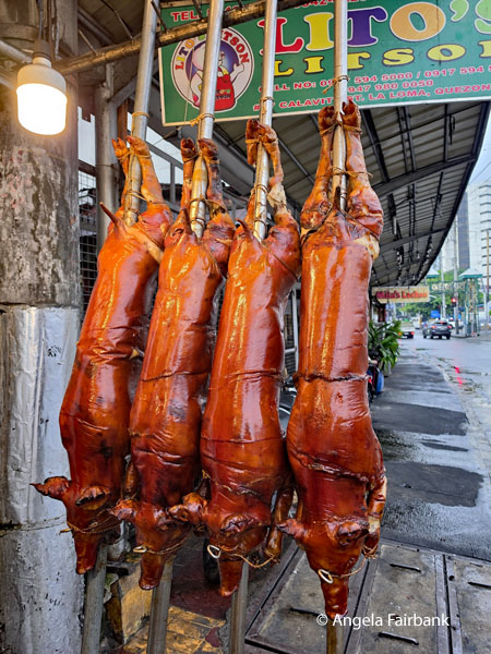 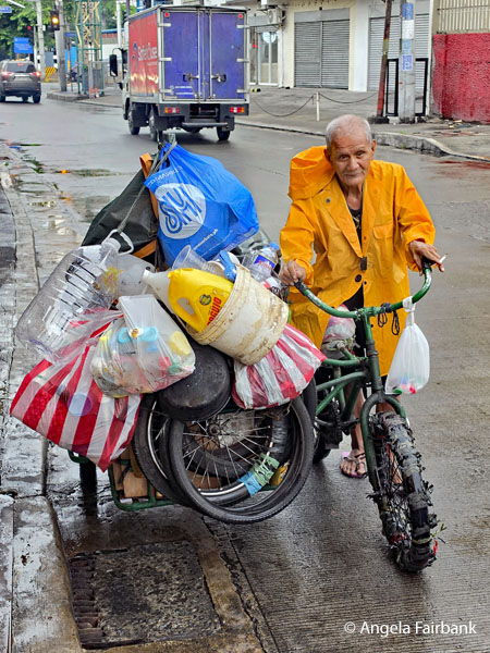 Our next stop was the Chinese Cemetery with its elaborate mausoleums for Christians, Buddhists, and Taoists, illustrating the religious diversity that characterizes overseas Chinese communities. We visited the Chong Hock Tong Temple, the primary and oldest Chinese temple inside the Manila Chinese Cemetery, built in the 1850s to serve non-Christian Chinese residents denied burial in Catholic graveyards. It features a multi-religious altar that places Buddhist deities side-by-side with Catholic saints like Jesus and Mary. Next, we went inside the Minor Basilica of the Black Nazarene (Quiapo Church) containing a black statue of Christ (or actually several of them), which we were told is the most venerated religious icon in the Philippines. Outside, along with beggars asking for coins, was an entire market selling candles - each colour having a different meaning - and flowers - these are Sampaguita (Jasminum sambac), the national flower of the Philippines, highly prized for its intoxicating, sweet fragrance - alongside fruits and vegetables, fish, and various herbs and spices, some claiming to provoke abortion. We were interested to learn that the Philippines is one of only two countries in the world that does not allow divorce (the other being Vatican City). We also visited a stall containing three fortune tellers. Inside the church in the basement were glass cases containing more statues of Christ in various garbs with spaces in the glass for His feet to be touched by devotees. Quite the religious fanaticism!
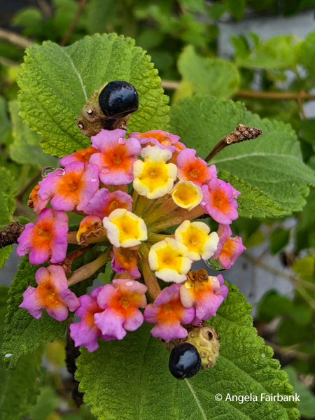 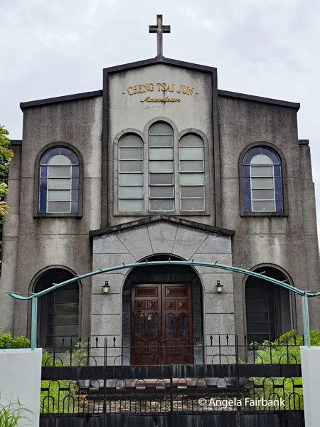 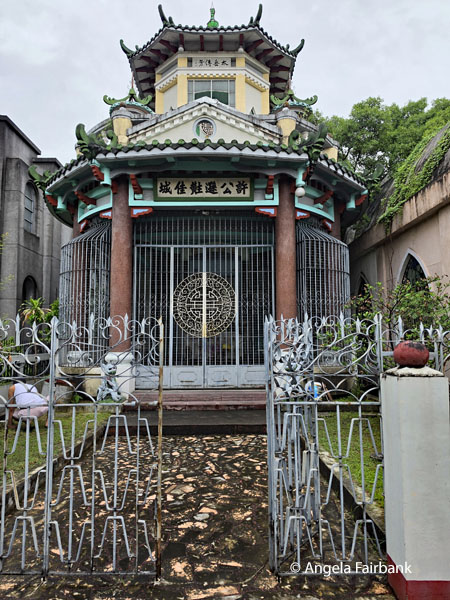 We then proceeded to San Agustin Church, declared a UNESCO World Heritage Site in 1993, and its adjoining museum, containing various religious statues, art, paintings, ivory figures, and wooden altars, one notable icon here being the Santo Niño de Cebu, a gift from Magellan to Queen Juana in 1521, which accompanied five Augustinian friars on their missionary pilgrimage through the Philippines and the Far East. Next, we visited Casa Manila, a museum in the style of a 19th-century Spanish colonial house equipped with oriental and European décor alongside Philippine antique furniture. Built under the direction of Imelda Marcos in 1981, this restoration project features one of the largest and finest collection of antique household items in the Philippines, including this square grand piano, manufactured in Boston, Massachusetts, in the 1850s.
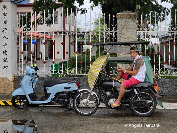 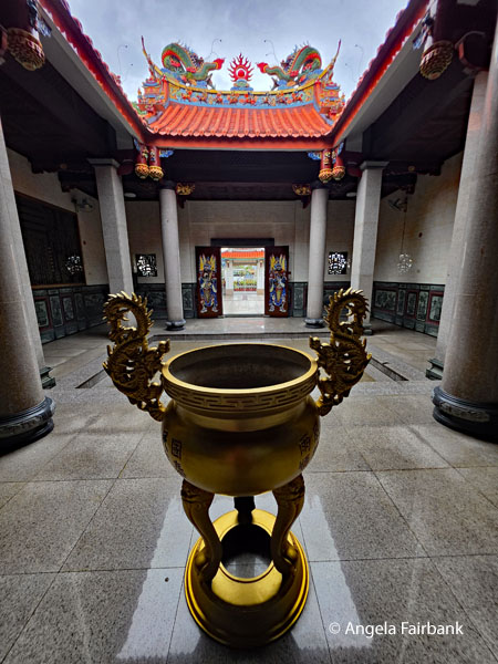 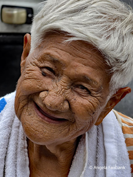 We enjoyed a buffet lunch at a restaurant called Barbara's while we watched some traditional dancing to live music by musicians playing stringed instruments. The final dance was one I have seen before where you have to jump with a partner between moving sticks on the ground. They were asking for volunteers among the audience, so I stepped up to represent our group since I had done it before, thirty years or so ago. As we left the restaurant, I went to the use the toilets like many others of our group, but when I came out, I realized my group had gone but more specifically our tour leader had completely forgotten to include me in his count. Not knowing where we were headed to next, however, I stayed where I was after checking both exits and informing the restaurant hostess of the problem because I figured she probably had the contact details of whoever had made the lunch reservation for our group and could let them know. Chris finally realized his error and materialized on a tuk tuk to find me and we then took the same tuk tuk to our next museum, called Bahay Tsinoy, which tells the long history of exchanges between the Philippines and China. Having worked for a Filipino-Chinese (or is it Chinese-Filipino) family in Hong Kong for eight years, it was of some interest to me but as usual with museums, I much preferred going at my own rapid pace and not with the guide. I was glad I had brought a book along to read.
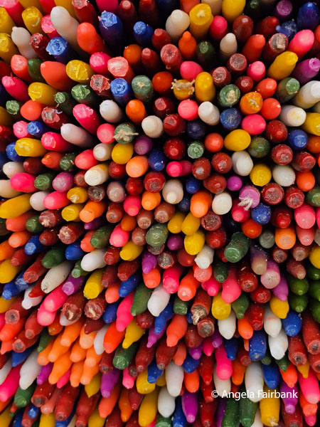 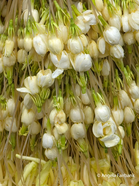 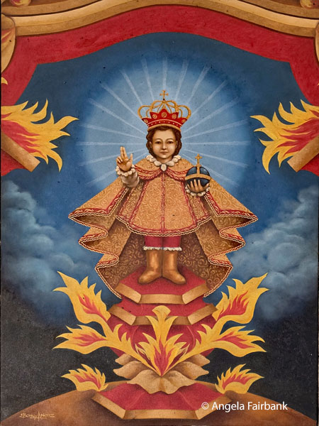 We then left for more modern Makati and the Central Business District with its shiny skyscrapers, to visit the American Cemetery and Memorial honouring the 17,206 American servicemen killed in Pacific operations during World War II. Finding the Visitor Centre actually quite interesting, I spent some time there reading the panels. I then walked over to the Memorial, and its walls containing a staggering 36,286 names of servicemen missing in action. If you are into numbers, the brochure says that the 152-acre cemetery contains 17,113 headstones made up of 16,938 crosses and 175 stars of David, among which are 21 sets of brothers and 30 Medal of Honour recipients. We were lucky to arrive in time to hear taps and witness the ceremonial lowering of the American and Philippine flags at 5:00 p.m. And it was still light enough to take a photo of Angelo and Mario in front of our bus before they dropped us off at the airport for our next flight to Micronesia's Palau, which is blessed with some of the Pacific's most pristine marine environments, apparently.
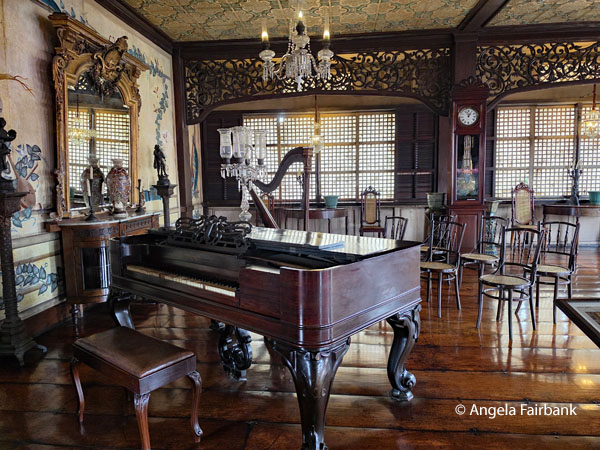 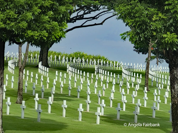 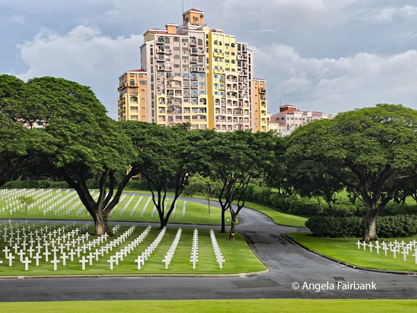 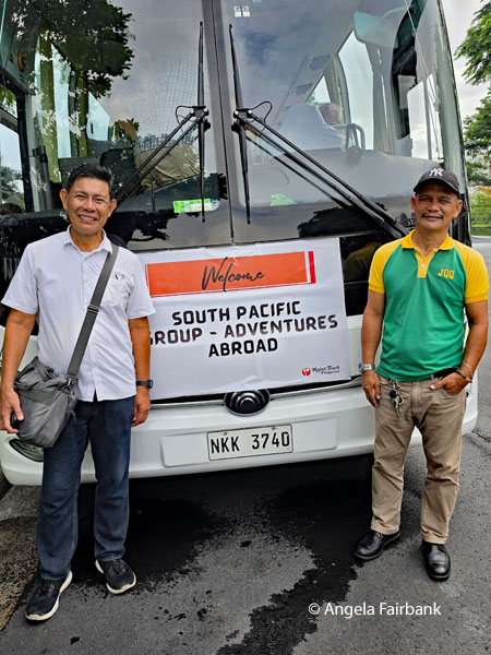 Wednesday, July 1, 2026: Koror, Palau, the Bountiful Isles
The Republic of Palau is an island country located in the Micronesia subregion of Oceania in the western Pacific Ocean. Consisting of approximately 340 islands, it is the western part of the Caroline Islands, while the eastern and central parts make up the Federated States of Micronesia that I would be visiting on my next tour. It has a total area of 466 square kilometres (180 sq mi), making it the sixteenth smallest country in the world. The most populous island is Koror, home to the country's most populous city of the same name. The capital, Ngerulmud, is located on the largest island of Babeldaob, in Melekeok State. Palau shares maritime boundaries with international waters to the north, the Federated States of Micronesia to the east, Indonesia to the south, and the Philippines to the northwest. The country was originally settled in approximately 1,000 BCE by migrants from Maritime Southeast Asia. Palau was first drawn on a European map by the Bohemian missionary Paul Klein, based on a description given by a group of Palauans shipwrecked on the Philippine coast on Samar. The Palau islands were made part of the Spanish East Indies in 1885. Following Spain's defeat in the Spanish-American War in 1898, the islands were sold to Germany in 1899 under the terms of the German-Spanish Treaty, where they were administered as part of German New Guinea. After World War I, the islands were made part of the Japanese-ruled South Seas Mandate by the League of Nations. During World War II (Oh no! Not that again!), skirmishes, including the major Battle of Peleliu, were fought between American and Japanese troops as part of the Mariana and Palau Islands campaign. Along with other Pacific Islands, Palau was made a part of the United States-governed Trust Territory of the Pacific Islands in 1947. Having voted in a referendum against joining the Federated States of Micronesia in 1978, the islands gained full sovereignty in 1994 under a Compact of Free Association with the United States. Politically, Palau is a presidential republic in free association with the United States, which provides defense, funding, and access to social services. Legislative power is concentrated in the bicameral Palau National Congress. Palau's economy is based mainly on tourism, subsistence agriculture, and fishing, with a significant portion of gross national product (GNP) derived from foreign aid. The country uses the United States dollar as its official currency (Yay!). The islands' culture mixes Micronesian, Melanesian, Asian, and Western elements. Ethnic Palauans, the majority of the population, are of mixed Micronesian, Melanesian, and Austronesian descent. A smaller proportion of the population is of Japanese descent. The country's two official languages are Palauan (a member of the Austronesian language family) and English, with the minor Micronesian languages Sonsorolese and Tobian - as well as Japanese - recognized at the state level. Because of the inheritance of the education system from the Republic's time as a trust territory, English is a core subject within the Palauan Education System with a majority of its population utilizing it as a second language. A local dialect influenced by Philippine English is developing. Sonsorolese and Tobian are official within their respective states, Sonsorol and Hatohobei; the Angaur dialect of Palauan is the language of that state. Japanese was made an additional official language of Angaur in the 1982 constitution when some elders still knew the language but is no longer spoken. All of the Palau Islands archipelago with the exception of two small atolls to the north and the islands of Angaur and Peleliu to the southwest are enclosed within a barrier, or fringing, reef. These islands are located at a crossroads where the Pacific Ocean meets the Philippine Sea, creating one of the world's richest zones of tropical marine biodiversity. The island group is home to one of the highest number of species not found anywhere else in the world. The main island of Babeldaob is the second largest landmass in Micronesia (after Guam) and is recognized as one of the largest undisturbed tropical rainforests in Micronesia. Sounds nice, right? The 'Visit Palau' brochure I picked up at the airport also adds that it is recognized as one of the seven underwater wonders of the world, home to about 18,000 people who speak both Palauan and English. Within Palau's borders lies the UNESCO World Heritage site known as the Rock Islands Southern Lagoon, containing more than 400 untouched limestone islands with volcanic origins. Arriving early into Palau, and learning of their claim to be at the forefront of sustainable tourism and marine conservation, we were asked by immigration to sign a statement stamped into our passport that took up an entire page and said “Children of Palau, I take this pledge as your guest, to preserve and protect your beautiful and unique island home. I vow to tread lightly, act kindly, and explore mindfully. I shall not take what is not given. I shall not harm what does not harm me. The only footprints I shall leave are those that will wash away.” We then waited agonizingly in line as Filipinos also on our plane had their luggage thoroughly inspected by customs officers and several of them had items removed. There was no scanner, you see. We wondered what the customs officers would find in our bags and were preparing to give up the packaged and sealed coffee and chocolate we had bought in other countries. But as soon as the first of us was called up and explained we were in a tour group staying 2 days only and going on to other islands and were from the UK, the USA, and Canada, we were waved through without a hitch. What relief! After a brief sleep then, we spent the rest of the day after breakfast exploring the island of Babeldaob, Palau's largest island, connected to Koror Island by a bridge and where there were no traffic lights or resorts. After being picked up by our guide, Malahi, and her assistant, Yuki, as well as driver, Billy, we first headed out to the local museum called the Belau National Museum, the oldest museum in Micronesia, where I managed to photograph a depiction of the national flag, which I was told represents a yellow moon against the blue sky in an answer to Japan's flag which is said to represent the sun. Unfortunately, my tolerance for museums was by now waning, especially since, for the most part, Palau's history appeared to consist of past colonial possessors of the territory, including Germany, Japan, Spain, and the USA...so after giving it a brief glimpse, including a presentation of Palau's indigenous who were said to come from Taiwan, I headed off to the gift shop and bought...a fridge magnet and a t-shirt. It had been raining as we entered but it was dry again as we exited. 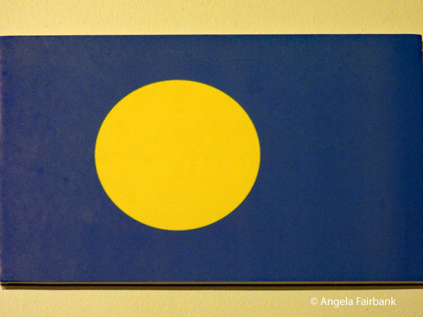 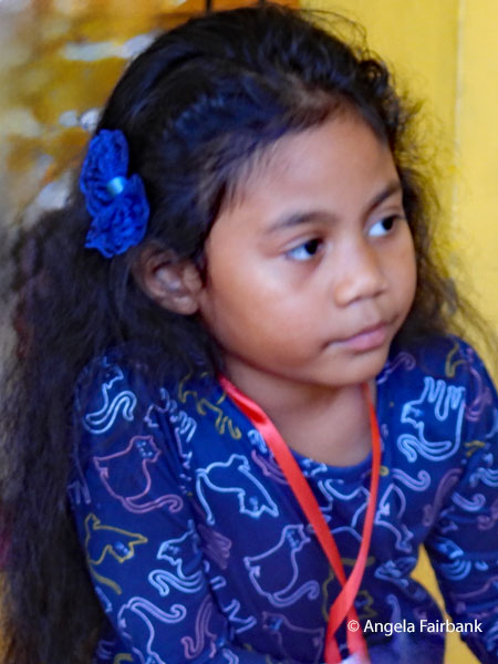 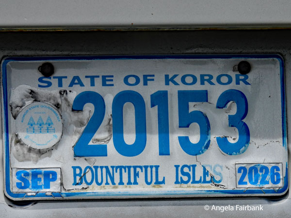 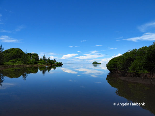 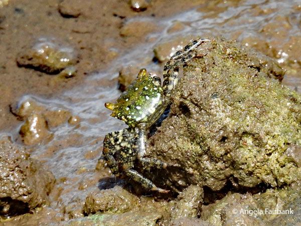 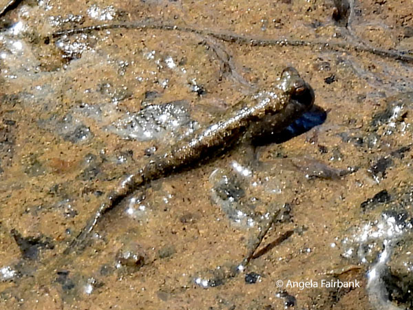 We next stopped in a village with a community centre where there were children doing artwork, like this girl in my photos, but apparently the draw to this spot was a very old building that was falling down and outside of which were a couple of very rusty army tanks. A panel explained that it was called Kaigun sho and was a Palau historic site. So, I Googled it and read, “Kaigun sho is a ruined World War II Japanese communications center located in Airai State on Babeldaob Island, Palau. Originally disguised as a field hospital, the cross-shaped concrete building was bombed by Allied forces. Today, the site features the bullet-scarred facade, abandoned tanks, and anti-aircraft guns.” Ah that makes sense now.
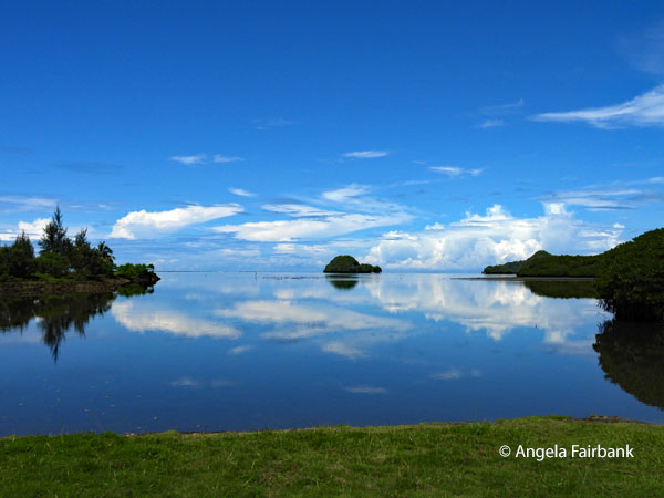 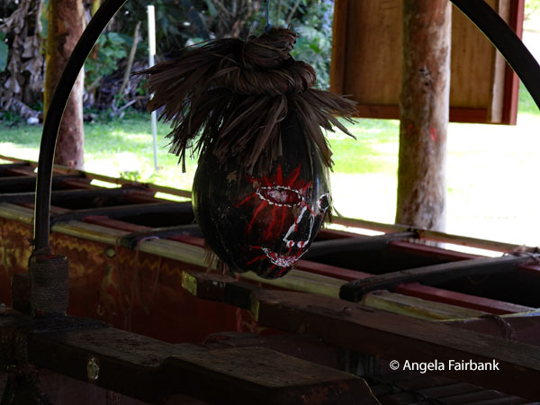 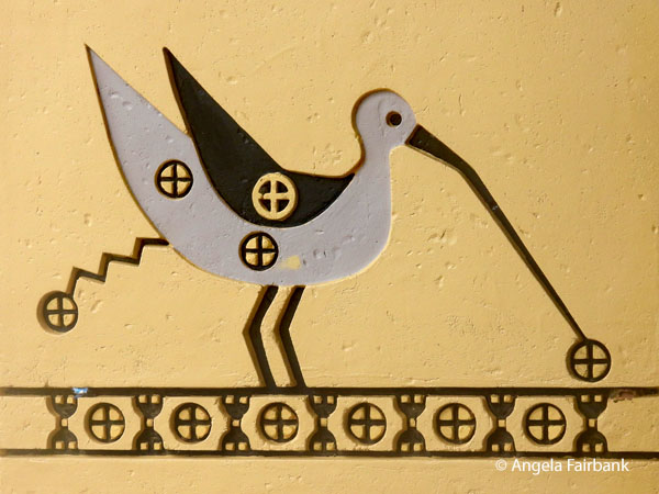 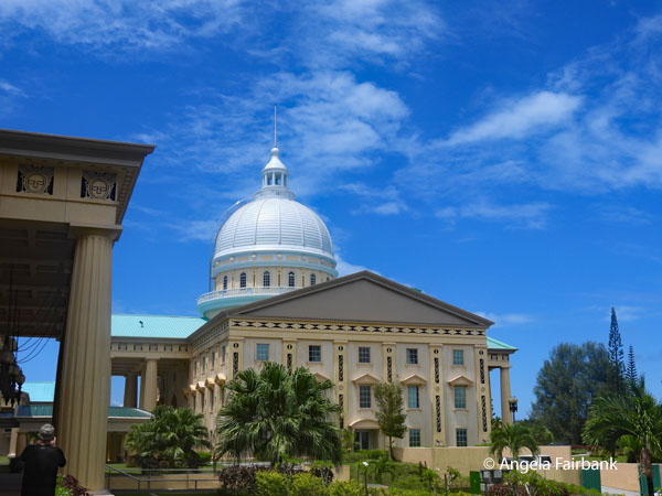 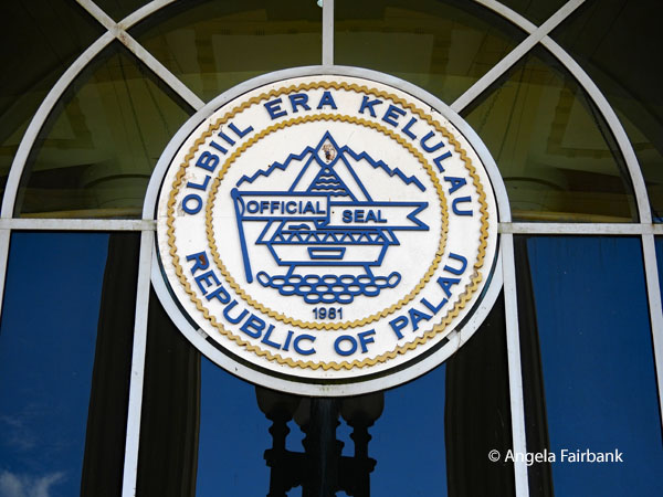 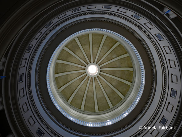 We next visited a 20-seater war canoe called Kesenekuu made from a Ukall (Parinari laurina) tree measuring 47 foot 9 inches, which had a wooden head hanging from it, but once again I was pulled away from that by the magnificent scenery afforded by mirror water and small islands. I therefore walked to the shore instead and found a Mangrove Crab (Scylla serrata Forskall and a Common Mudskipper (Periophthalmus kalolo) to photograph. We were next told we would visit the capital - I thought we were already in the capital city (Koror) - but then realised our guide meant capitol, i.e. the government buildings. She hinted that we might meet the President of Palau, but none of the executive seemed to be present as we only saw guards and gardeners. We photographed the beautiful buildings inside and out and I used the toilets, where I saw a sign in the local language that said Uleklatk!! Lak molub ra sink ma blil a komi. Sulang. I gathered that the word Sulang meant thank you so used it copiously thereafter. As for the rest of the message, I photographed it and took it out to the guards to ask what it meant. One of them told me it said 'Don't spit in the sink' which was a bit of a let down. Surely spitting in the sink and being able to wash your saliva away is a lot more sanitary than spitting on the floor! When I rejoined the rest of the group, I saw they were looking at a large Cane Toad (Rhinella marina) in the grass. It was quite immobile so easy to photograph up close. This handsome man was one of the gardeners wielding a wheelbarrow.
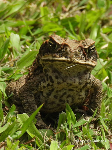 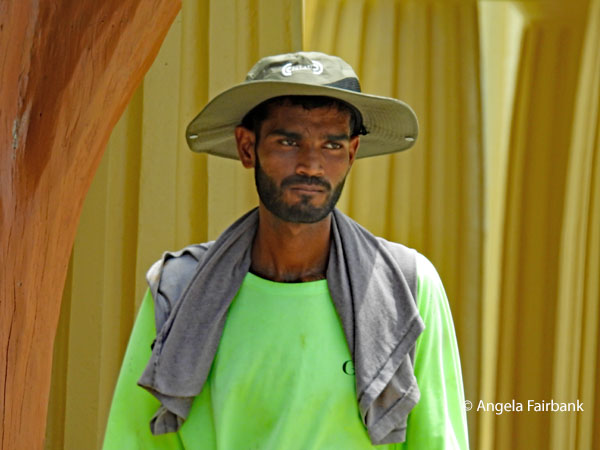 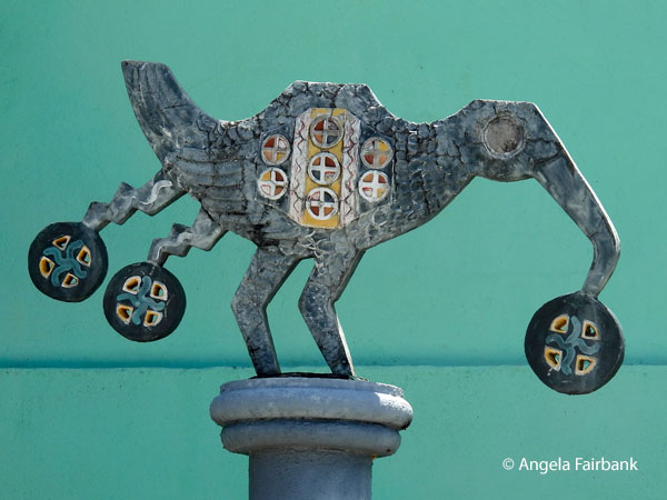 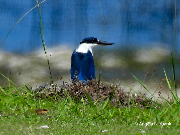 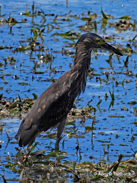 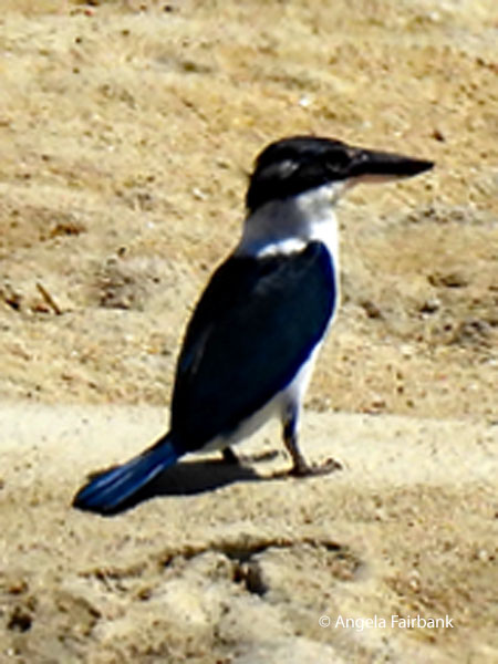 Our lunch stop was at some picnic tables at the beach called Melekeok, and we were provided with bento box lunches preordered from a Japanese restaurant. The tide was out quite far so we walked along the causeway, where I managed to photograph two separate Collared Kingfishers (Todiramphus chloris) and a couple of Pacific Reef-Herons (Egretta sacra), the dark morph.
 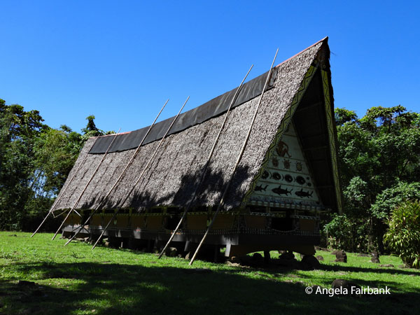  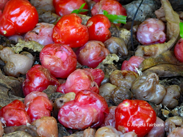 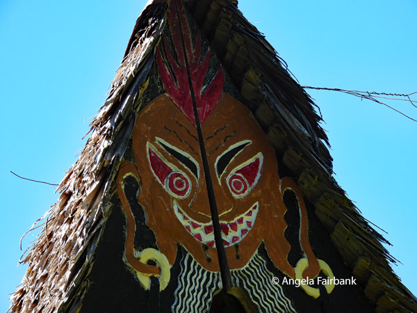 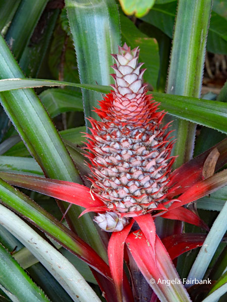 Our postprandial stop was at a traditional, yet one of the few remaining, Bais (Men's meeting houses), involving a walk along a forest road, where we saw this lovely Palau Kingfisher (Todiramphus pelewensis). In the past, we were told, each village had a bai built on top of a raised stone platform. These houses were constructed from giant timbers reinforced with coconut fibre ropes and assembled without nails in a timber frame design. It was high decorated inside and out and as we admired it, White-tailed Tropicbirds (Phaethon lepturus) flew around high in the sky above us. I asked our guide about these wild red fruits, which were possibly Malay Apples (Syzygium malaccense).
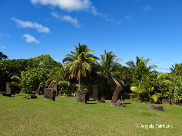 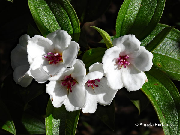 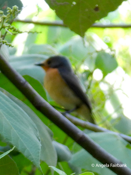 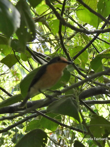 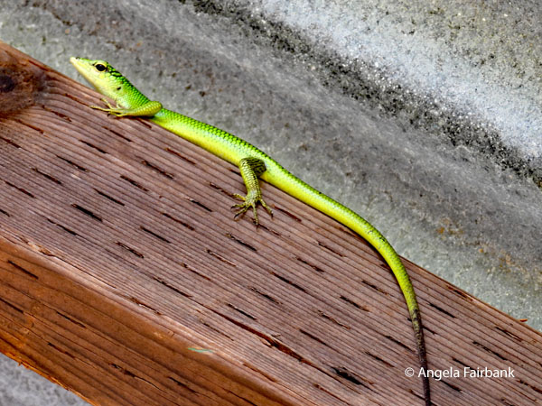 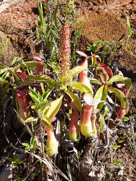 What ended up being our final stop for the day was an archeological site with more walking involved and this time downhill, though there were steps and bannisters at times. These were to some mysterious Stone Monoliths (i.e. Badrulchau of Ngerchelong), some of which we were told were made to look like human faces. I read later that “The site consists of 52 basalt megaliths lined up in two rows, crude faces carved into some of them. Archaeologists estimate its construction dates back to around the year 161. The purposes of these stone monuments have been a question, but it is believed that they served as pillars for a bai, a type of traditional Palauan meetinghouse. According to legends, this bai was constructed by the gods and could house thousands of people at one time. If that is the case, the monoliths may be the remains of the largest bai ever built.” Once again, I was far more interested in photographing these quick moving Palau Bush Warblers (Horornis annae), this Emerald Tree Skink (Lamprolepis smaragdina), and this Tropical Pitcher Plant (Nepenthes mirabilis), not to mention a wild red pineapple (Ananas bracteatus).
Thursday, July 2, 2026: UNESCO Protected Rock Islands and Peleliu Island, Palau Today was our long-awaited boat trip through the 400-plus uninhabited limestone islands in the Rock Island Lagoon, a UNESCO World Heritage Site, to the island of Peleliu. I was rather disappointed that we were taking a 1-hour speed boat ride through it and not stopping to enjoy it properly, or indeed, to photograph it or the various birds we saw properly. Neither, to my frustration, were we offered any time to explore the underwater life featuring over 385 coral species, countless fish species, and the diverse marine habitats that snorkelers and scuba divers rave about. Certainly, the various blues of the water reflecting the different depths were gorgeous, reminding me somewhat of the Maldives, although the area we were seeing today was a great deal cleaner and more pristine. Nor were we privileged to see the world's highest concentration of marine lakes. Chris mentioned briefly when I asked that we would need a special permit for that. But surely, I thought, this was what we were here for...little suspecting that today's tour had another purpose... Yup. I can see you all thinking ahead of me at this point and perhaps rolling your eyes. Indeed, yet MORE World War II history, because this peaceful paradise was yet another brutal battleground where Japanese forces constructed elaborate underground tunnel systems and fortifications defended by tens of thousands of troops. The resulting battle cost nearly 11,000 Japanese and 1,000 American lives, making Peleliu one of the Pacific War's costliest engagements relative to the island's size. Today started out with Yuki picking us up at our hotel and driving us a short distance to the marina where we piled into a large, modern, covered speedboat with benches on either side. This took us over to a dock on Peleliu Island, where we met our local Micronesian driver/guide Korie, who had travelled extensively in the USA, had studied aerial engineering, and was covered in tattoos. When I asked him about them, he said the most painful tattoos were the ones on his neck and that he wasn't yet finished. Our first stop was the Peleliu World War II Memorial Museum where there was nothing to buy. Interesting or perhaps ironic, was the fact that coincidentally, we were there at same time as a young group of Japanese about a generation younger than us, who consequently followed us all over the island one step behind us at all the stops. I cogitated two facts: 1). We would most likely not have been so friendly (or trusting) toward each other 80 years ago; and 2). They were a further generation away than we were from all the conflict. Both my grandfathers had fought in WWI, and my parents had lived through WWII as civilians but that was the war in Europe and not in the Pacific. Tropicbirds were flying over the museum when I stepped outside and photographed this Micronesian family sitting in the shade.    Our second stop was at a Japanese fuel storage bunker but my photo from here is of the very photogenic fellow in dreadlocks, who was one of the workers clearing foliage from the road. After I walked over to him, introduced myself, and asked if I could take his photo, he told me his name was Kelly, that he was 55, and that he was Micronesian and had lived all his life in Palau. Our third stop was at another tumbling down building of two floors. These crumbling, bullet-riddled concrete remains of the Japanese command center, surrounded by overgrowth had been the Imperial Japanese Navy Headquarters. We walked through it and up the stairs and noticed its tunnels and the remains of squat toilets. Ironically, the windows had been left cranked open, but all the glass was gone! Here I photographed another Pacific Blue-tailed Skink (Emoia caeruleocauda) on a ledge and a Micronesian Starling (Aplonis opaca) in a tree.
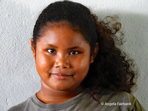 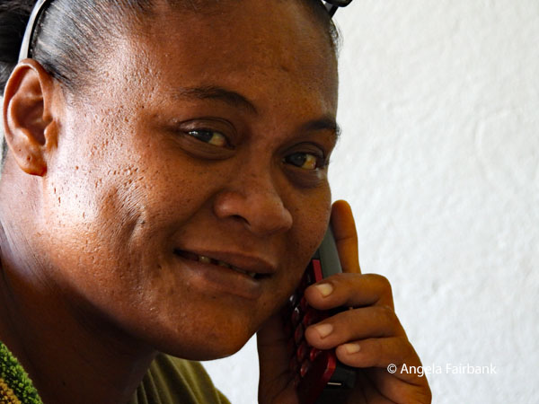 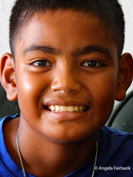 We were then driven across, around, and along an old airplane runway from that time, which we were told the US army was working on today, possibly extending it so that flights could come to this island in the future. In the area of this runway was a rusting amphibious landing ramp, where I had the chance to test out the weight of a heavy army shell (yes, it was quite heavy), and the Orange Beach Cemetery, originally set up during the first days of the 1944 Battle of Peleliu as the only secured area for immediate burials. By 1947, however, all remains had been exhumed and repatriated to the United States or Hawai'i. All that remained today were a token cross and purple plants that spelled out the letters USA. The foundation and ruins of the 1944-built limestone chapel near by had been left as a memorial. Orange Beach was one of the primary American landing zones. From there we walked down to beach where I was finally able to put my toes in the water.
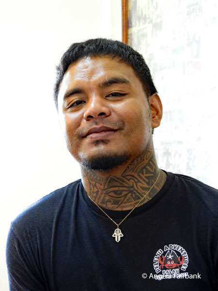 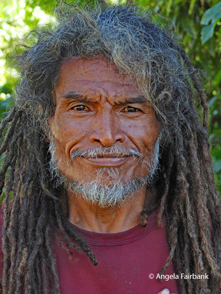 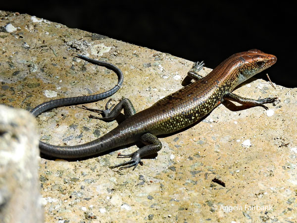 I photographed dozens of noisy Black Noddy (Anous minutus) birds in the trees at another memorial for Japanese soldiers before we stopped and ate lunch from another Japanese bento box inside a beachside pavilion with wooden tables and benches. Here, there was a stream running into the sea, containing a number of colourful fish and a dead, upside-down shark. Sadly, that was our only introduction to/chance to view Palau sea life today. Next, we climbed some stairs to a large Japanese 200 mm gun dug into a cave, afterwards passing by even more rusting tanks, another memorial for the Japanese, and a site containing (according to panels found there) the Southern Ridges of Pelepiu, and the Central Combat Zone, followed by some Japanese bunkers... and finally another Collared kingfisher (Todiramphus chloris) on an electrical wire, unfortunately, in shadow. On our way back to the dock, we were able to stop at a shop, although the owner had to be woken up and three times brought the wrong key to open it. I bought a rather expensive Peleliu t-shirt as well as an ice coffee in a can, which smelled suspiciously of chemicals - or perhaps fuel fumes - but I survived it, nonetheless.
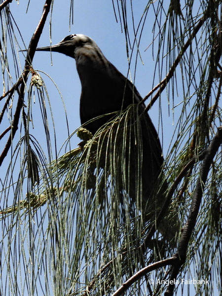 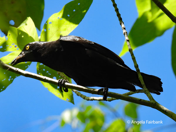 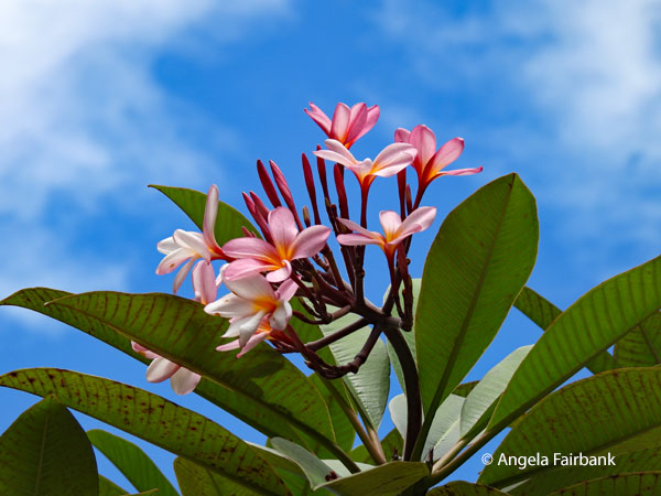 Our final stop was at a 1,000-man cave, purported to shelter a large number of Japanese troops so as to survive American aerial bombardment, specifically soldiers under the command of Colonel Nakagawa fighting against the US 81st Infantry Division. We were told it has been cleared of hundreds of explosive items, including grenades, mines, and projectiles. Then to my chagrin our boat once more sped us back to the dock on Koror, although at Chris's request it did wind somewhat through the rock islands and stop for a brief moment somewhere in the midst of them to show us a natural arch between two islands. Clearly, one would have to return someday to experience the natural impact of this UNESCO Heritage Site - which is what I thought I had signed up for - WITHOUT all the WWII paraphernalia.
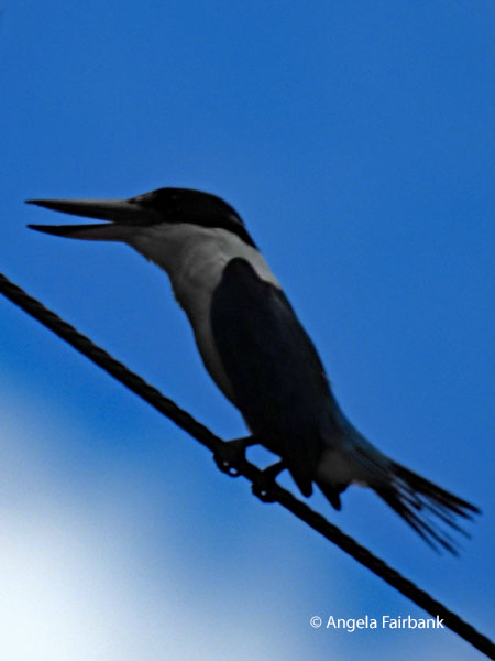 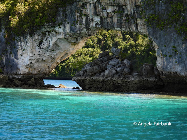 Friday, July 3, 2026: Palau to Tumon, Guam, USA (13.5175° N, 144.8076° E), Where America's Day Begins The island of Guam is an organized, unincorporated territory of the United States in the Micronesia subregion of the western Pacific Ocean. Its capital is Hagåtña, and the most populous village is Dededo. It is the westernmost point and territory of the United States, as measured from the geographic centre of the U.S. with point Udall. In Oceania, Guam is the largest and southernmost of the Mariana Islands and the largest island in Micronesia. In 2026, its population is approximately 170,200. Chamorros are its largest ethnic group but a minority on the multiethnic island. The territory spans 210 square miles (540 km2; 130,000 acres) and has a population density of 775 per square mile (299/km2). The Indigenous Chamorro are related to the Austronesian peoples of the Malay Archipelago, the Philippines, Taiwan, and Polynesia. Unlike most of its neighbours, the Chamorro language is not classified as a Micronesian or Polynesian language. Like Palauan, it possibly constitutes an independent branch of the Malayo-Polynesian language family. The Chamorro settled Guam and the Mariana islands approximately 3,500 years ago. Portuguese explorer Ferdinand Magellan, while in the service of Spain, was the first European to visit and claim the islands in March 1521. Spain claimed them in 1565, and Guam was fully colonized by Spain in 1668. Between the 17th and 19th centuries, Guam was an important stopover for Spanish Manila galleons. During the Spanish-American War, the United States captured Guam in June 1898. Under the 1898 Treaty of Paris, Spain ceded Guam to the U.S. effective April 11, 1899. Before World War II, Guam was one of five American jurisdictions in the Pacific Ocean, along with Wake Island in Micronesia, American Samoa and Hawai'i in Polynesia, and the Philippines. On December 8, 1941, hours after the attack on Pearl Harbor, Guam was captured by the Japanese, who occupied the island for two and a half years before American forces recaptured it on July 21, 1944, known now as Liberation Day. Since the 1960s, Guam's economy has been supported primarily by tourism and the U.S. military, for which Guam is a major strategic asset. Its future political status has been a matter of significant discussion, with public opinion polls indicating a strong preference for American statehood. Guam's de facto motto, mentioned above, is 'Where America's Day Begins,' referring to the island's proximity to the International Date Line. Guam is among the 17 non-self-governing territories listed by the United Nations and has been a member of the Pacific Community since 1983. It is called Guåhan by Chamorro speakers, from the word guaha, meaning 'to have,' referring to the fact that the island provides everything needed to live. Our early morning flight (no surprise there as it was the same one that brought us to Palau from Manila) meant that we were not provided with early check in to our hotel (the Crowne Plaza) in Guam, so we had to listen to sickening muzak in the lobby as we waited for the hotel breakfast to open at 6:30. We then waited once again until 9:00, although I was able to do some photo editing in the lobby as we were given access to the hotel internet. We then began our sightseeing with our guide, Haji (of Japanese descent), and Jay, our driver, in a humungous bus that could seat at least 40 though we were only 10 because a couple in our group had been to Guam before and decided not to join us, instead opting to hang out at the pool and do laundry (good choice). Our first stop was at a National Park Service Museum which ... wait for it ... was all about the war in the Pacific (I can't catch a break, can I?). I glanced at the books in the bookstore, noticed the restroom doors with signs saying, 'Restrooms will be closed due to incoming storm,' and finding nothing of interest to me, yet anxious to photograph some Chamorro people, I asked the young woman at the reception desk - I think she said her name was Jodie - if she was Chamorro or had Chamorro ancestry. She told me she was mixed. Then, learning I was from Canada and a translator, she asked if I might be able to tell her how to pronounce something that an Indigenous Canadian from Quebec had given her. I said I could try and she disappeared, returning a few minutes later with a flag that said, 'St'uxwtéws Bonaparte First Nation.' I told her I was unfortunately unfamiliar with that particular nation really only knowing about the major ones in British Columbia and suggested she might Google it. She agreed she would do so just as we were called to return to our bus. (Of course, curious by nature, I subsequently looked it up and found the following: The pronunciation is “Stluck-TOW-uhsen or Stluck-TOWS and roughly breaks down into two parts: Stluck- starts with a quick, glottal stluck sound, [while] -TOW-uhsen stresses the TOW followed by a light uh-sen at the end.” It belongs to the Secwépemc language or Secwepemctsín). Glancing back at our itinerary, I saw that we had actually been promised a visit today to the Guam Museum, “opened in 2016, [and featuring] interactive technology and the most complete display of Guam's history and culture in the Chamorro language, [containing] over 300 curated artifacts, thousands of images, multiple audio recordings, and short films [to] guide visitors through seven galleries exploring the historical Chamorro narrative of Guam.” I'm sure I would have found that visit to be far, far more interesting. No explanation was given as to why this had not materialized, however. 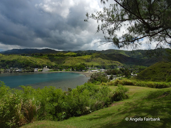 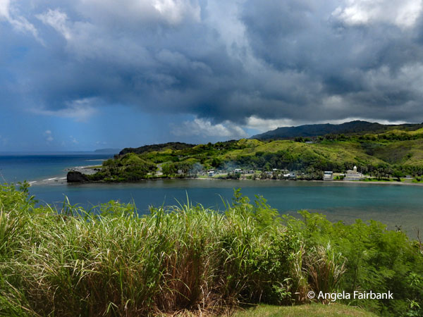 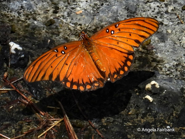 We next stopped at a beautiful scenic area overlooking a bay, which I see from my photos was in fact Fort Soledad (Nuestra Senora de la Soledad), where I was able to photograph a Gulf Fritillary (Agraulis vanillae) and this topless man in a red head bandana, who was selling coconuts as well as coconut candy, which he insisted we try. We then proceeded to take a drive around the southern part of the island, not stopping anywhere despite there being some things I wished we'd been able to photograph, such as a curious Christmas tree in someone's front garden and masses of more Black Noddies. I do remember that due to Haji's somewhat quiet, yet hypnotic, voice and difficulty with the English language, I dropped off from time to time and stopped listening to him. I was sitting at the back of the bus hoping to sleep anyway but the aircon was far too cold and consequently very uncomfortable. My room mate and I found some lunch by the pool and then I went to our room, to which we had now been given keys, in order to sleep the rest of the afternoon until dinner time. As a super typhoon warning had been issued for Guam (the addional word super being used apparently when a typhoon's sustained surface-wind strength reaches 240 km (150 miles) per hour), three of our group decided to change their flights and left during the night after saying goodbye to us.
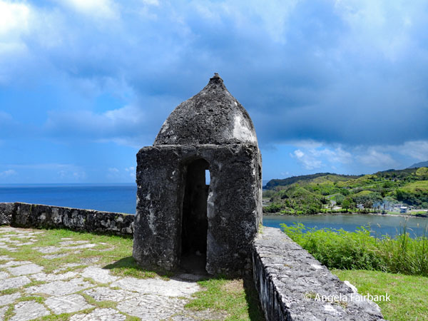 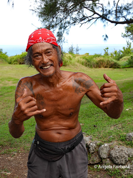 Saturday, July 4, 2026: Guam, USA
Seeing still no signs of the imminent typhoon called Bavi, apart from the hotel boarding up windows and doors, displaying a board in the lobby with the latest updates about its position in the Pacific Ocean, and providing a list of cancelled flights, our much diminished group (we were now 7 out of our original 12) got onto our huge bus with Haji and Jay again and headed out to see what was essentially the centre and north of Guam after visiting essentially the south yesterday. Feeling somewhat brighter after the extra sleep, I was able to take a few more photos of Guam today, but unfortunately, we were not spared mention of the War in the Pacific. 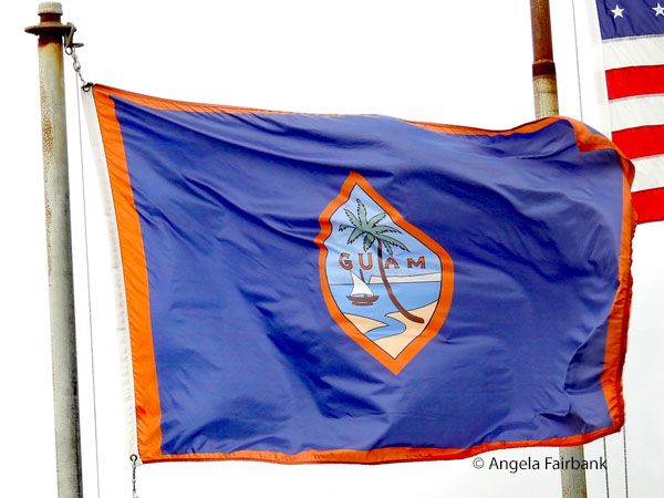 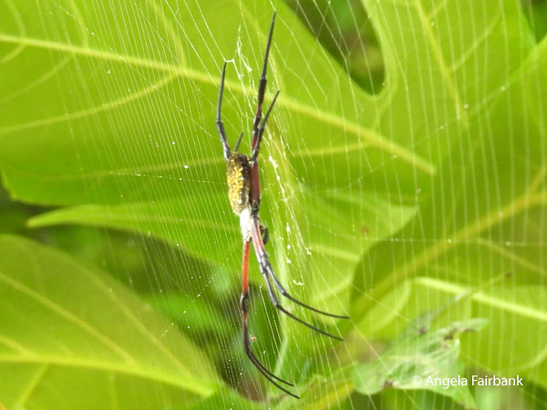 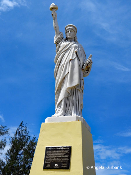 We began at a curious South Pacific Memorial Peace Park in Yigo, the former site of the Mataguac Hill Command Post, where the last organized Japanese resistance in Guam ended on August 10, 1944. Around the Queen of Peace Buddhist-style chapel, with stained-glass windows and chains constructed from thousands of colourful paper cranes, were gardens containing a bush of orange, double hibiscus flowers, bougainvillea, which we were told was Guam's national flower, and many light green butterflies, probably Lemon Emigrants (Catopsilia pomona) and Large Grass Yellows (Eurema blanda, which were constantly moving and thus impossible to photograph. While some of our group climbed down railed stairs into natural limestone caves and hand-dug tunnels used during the final days of the Japanese occupation, I photographed this Hawai'ian garden spider (Argiope appensa).
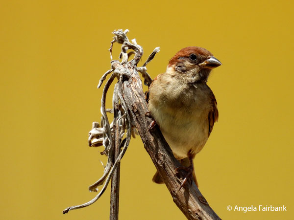 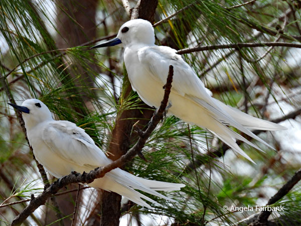 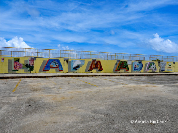 Next, we drove by the Anderson Air Force Base and the U.S. Marine Corps Camps Blaz, before stopping at Paseo de Susana Park in the capital city of Hagåtña. This park is interesting for the fact that it contains a miniature replica of the New-York-original Statue of Liberty, built at roughly 1/200th the size (about 15 feet tall). Originally gifted to the island by the Boy Scouts of America in 1950, it sits right by the water at the entrance to the Hagåtña Boat Basin. To the left of the park is a walkway, under which are painted the Chamarro words Hafa Aday (pronounced hah-fah-day), the traditional Chamorro greeting used in Guam and the Northern Mariana Islands, roughly translating to hello, hi, or what's up. A welcoming symbol of local hospitality, it is very similar to Aloha in Hawai'i. It was in this park that I was able to photograph another ubiquitous Eurasian Tree Sparrow (Passer montanus), as well as this rather splendid pair of Blue-billed White-Terns (Gygis candida), a species I had seen flying around in the trees in front of our hotel but had been unable to capture through the window.
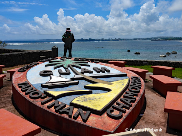 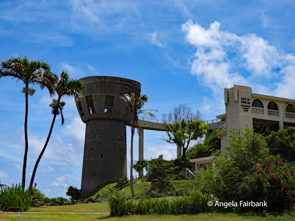 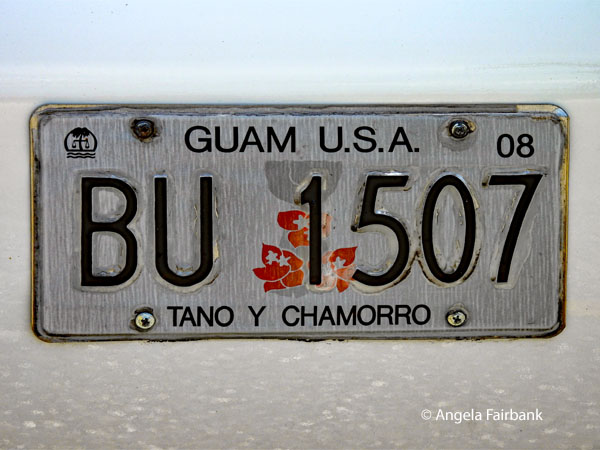 We subsequently visited an empty complex of government buildings that included a Multipurpose Cultural Centre featuring a large stone latte called the Latte of Freedom. And in case you ask, no, I don't mean a steamed-milk-espresso-based coffee, but rather “an ancient megalithic structure unique to the Mariana Islands and a central symbol of Chamorro strength and identity, representing the foundation of traditional ancestral homes.” We then drove downtown, where I photographed through the bus windows this pretty mural on the outside walls of the Guam Public Library, and to a mall called Agana Shopping Center, where we were invited to find our own lunch. I couldn't help but visit a couple of souvenir shops there and almost bought a large book that promised to teach me the Chamorro language, but thought better of it as it was heavy, large, and rather expensive, despite probably being the only book of its kind. I did see later on that I could order it from Amazon for the same price, although the salesgirl did point out that there is no sales tax in Guam. In case you are looking to learn this particular language, it is called Finu' Chamorro for Beginners by Faye Untalan, MSW, MPH, PhD. Incidentally, I eventually found a plastic container of five California rolls at a sushi place in the mall to slake my hunger.
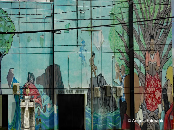 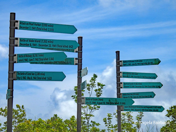 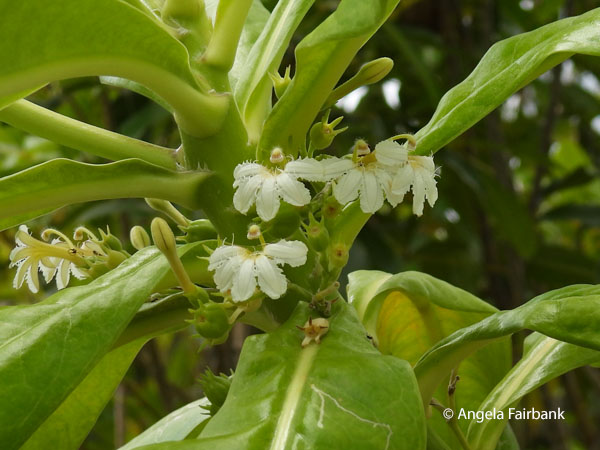 After lunch, we tootled over to Apra Harbour for some more views, but also, unfortunately for me, some more Japanese war history. I did, however, photograph these signposts pointing to various battles in the Pacific while listing their dates and the number of soldiers killed. If you have been reading my travelogue closely, you may recognise some of the sites by now. There were also walls here containing hundreds of names, mostly Spanish. Nearby, we found a trilingual (Chomorro, English, and Japanese) panel displaying information about Fort Santa Agueda, built in 1800, with its unobstructed views of north-central Guam and surrounding waters. Next, at Latte Stone Park, we found sophisticated prehistoric stone latte pillars, believed to have supported ancient Chamorro houses as far back as 500 A.D. as well as some more Japanese caves, currently gated off due to vagrants having been found living inside. Between the caves and the latte pillars, I followed and photographed this Curious Skink (Carlia ailanpalai) while it chased and eventually ate what looked like a cockroach.
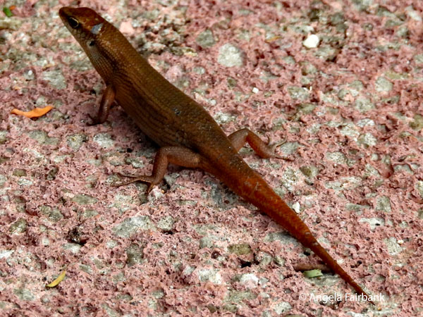 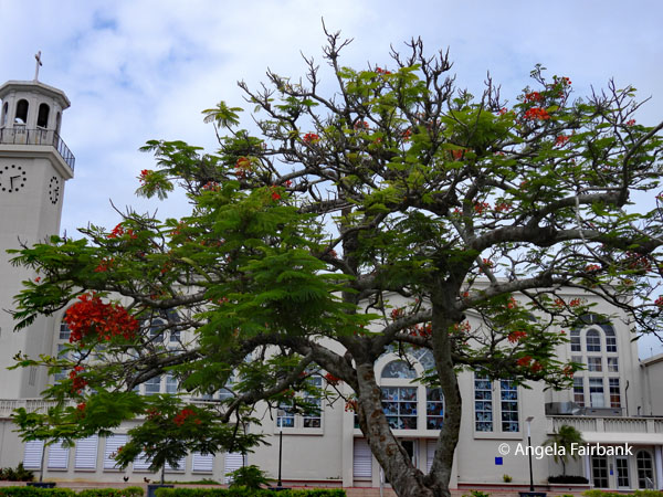 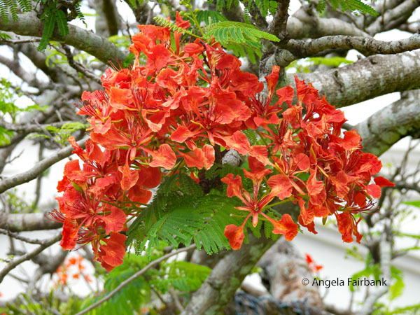 Our final stop was in Plaza de España across the road from the park, featuring remnants of the Governor's Palace, which served as the centre of Spanish colonial administration in Guam before being heavily damaged during ...sigh... World War II. A building know as the Chocolate House remains standing and was where Spanish governors and their guests gathered to socialize and drink hot chocolate. This flamboyant tree was standing beside the cathedral, which appeared to have lovely stained-glass windows, but sadly, a visit to it was not on our itinerary. Looking it up later, I discovered it was Dulce Nombre de Maria Cathedral Basilica, located on the site where Guam's first Catholic church was constructed in 1669. The I heart Guam sign is the last on my roll of film (well, metaphorically speaking) for this tour. More people have changed their flights and are leaving tonight instead of tomorrow to avoid the super typhoon, so I suspect I will be the only one of our group at breakfast tomorrow morning. Nevertheless, we did have a final dinner for those of us still present and fittingly celebrated a successful completion of our trip with a round of ice-cream at the hotel's Häagen-Dazs shop.
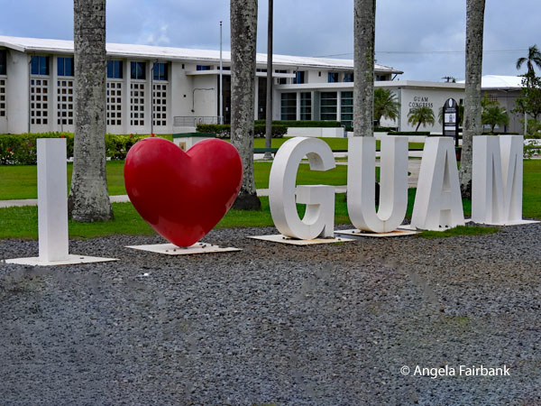 Sunday, July 5, 2026: Guam, USA
With super typhoon Bavi announced to hit Guam this evening, I can confirm that the rest of my travel companions managed to get out of Guam in time - most of them having had to leave the hotel at 4:00 a.m. this morning for a 7:00 a.m. flight. As for me, I got to sleep in this morning and have breakfast on my own. Having requested and received a late checkout at 2:00 p.m. instead of 12:00 noon, I managed to get three and a half weeks of laundry done in the hotel washer and dryer at five bucks per machine and then repacked and had the hotel order me a taxi to take me to a less costly hotel near the airport. When I arrived, it was all boarded up, and the receptionist was so stressed about the upcoming typhoon, he forgot to have me sign his form or give me a receipt for the all the cash I handed over to him for a week's stay. I just hope the building is sturdy enough to keep me safe from the typhoon. At least I am on higher ground here at the airport and away from the beach. At the moment, I count my blessings, despite the visibly lower standard of this hotel compared to the one I was staying in the tourist part of Guam: I have electricity and internet (so far), the bed sheets and pillows are clean, the toilets flush, and I even have aircon, a fridge, a microwave, and a kettle and two bottles of drinking water every three days (as well as communal purified hot and cold water dispensers where we can refill these bottles). I'm just not sure where my next meals (apart from breakfast) will be coming from as they have closed their restaurant for the week. What's more, due to the city cutting off the water, and this particular neighbourhood being the last on their list for reconnection, we are told we can't take showers until probably Friday or Saturday. The hotel is feeding the bathrooms with water from its swimming pool, so if pressed we could take a shower but will smell of chlorine. What perfect circumstances to stay in my room and work on catching up on my travelogue. No interruptions, no noise - apart from the window-rattling power of a typhoon - oh and my shriek when I caught sight of a rather large cockroach by the side of my bed! I shall probably survive this week and get lots done to boot, not to mention catch up on my sleep. Signing off for now...zzz. Continue to Part 2 of this trip. Coming Soon. PLEASE NOTE: The geographical and historical information for each country and general information about their distinct languages comes from Wikipedia for the most part. However, the rest I wrote myself. |
All rights reserved. Website © Angela Fairbank 2005-2026.
|