
Travelogue June 10 to August 3, 2026Victoria, B.C., Canada to Rarely Visited Pacific Islands: Samoa, Tonga, Vanuatu, Solomon Islands, Palau, Guam, Federated States of Micronesia, Marshall Islands, Nauru, Kiribati, Tuvalu, and Niue via Fiji, the Philippines, Hawai'i, and New ZealandGo to Part 1 of this trip.Part II: Guam to VictoriaMonday, July 6 to July 11, 2026: Guam, USA
This week, as you will gather from what I wrote at the end of my previous trip, I stayed in a three-star Best Western by the airport in Guam in the aftermath of a super typhoon. It was not a comfortable hotel by any means. There was no fresh water because the government had cut off the well water to avoid potential contamination caused by the typhoon and since it was located at the top of the island altitude-wise, this neighbourhood was the last to have its fresh water restored. It is lucky that the hotel had a swimming pool as it was this water that was fed into the bathrooms so we could flush our toilets - although showers were restricted. Even so, I had my first non-chlorinated shower only on Saturday. Their restaurant for lunch and dinner was also closed the entire week and offerings for breakfast, which was available, were very sparse, consisting mainly of carbohydrates with the exception of an unidentified juice and some good black coffee. I spent the entire week confined to my room, working on finishing my previous travelogue, with the exception of Wednesday morning when I ventured out to a small convenience store cum gas station for comestibles, but found they had absolutely nothing healthy inside. Juanita, a staff member at the premises, offered to drive me to the superstore a couple of kilometres away ... in light of the extreme heat and thinking I might melt before I arrived... in her boyfriend's black Camero, which I gratefully accepted. At this latter, much bigger store I was able to buy some lunch and dinner items such as cheese, rice crackers, yoghurt, microwavable soups, and cut fruit - i.e. no food that required washing - which I was able to store in my fridge. Sunday, July 12 - Saturday July 11, 2026: Guam to Hawai'i, USA (21.3069° N, 157.8583° W)
On Sunday at 4:00 a.m. I had a fresh shower, checked out, and caught the hotel shuttle to the airport where I was able to have breakfast in the United Airlines lounge since I was travelling in business class. My shuttle driver told me he was from Yap and had a B.A. in pastoral care. He had come to Guam to work but had found only volunteer work in his chosen profession, hence the need to create income as a driver. He told me he was non-denominational in essence but favoured the Baptist Church. He then asked me if I was a patriot, seemingly mixing patriotism with religion. Sensing that we might be getting onto a touchy subject, I told him I preferred not to get into politics. The flight was comfortable and I spent it mostly watching movies in addition to eating another breakfast and a not-very-good pasta lunch. Now that I have been able to compare business class in both United and Air Canada, I can categorically state that Air Canada's business class is far superior, especially where the food is concerned. After about a seven-hour flight, I arrived in Honolulu, Hawai'i, USA on July 11, on the eastern side of the International Date Line and lived my Saturday night all over again. The taxi ride from the airport to Waikiki, where the tour hotel was located, was not cheap, but I arrived safely and in time to catch the sunset over the Pacific from my 10th floor ocean-view hotel room. Hawai'i is an island state of the United States in the Pacific Ocean about 2,000 miles (3,200 km) southwest of the U.S. mainland. One of the two non-contiguous U.S. states (along with Alaska), it is the only state not on the North American mainland, the only state that is an archipelago, the only state south of the Tropic of Cancer, one of only two states, along with Florida, with regions that have a tropical climate, and one of the two U.S. states, along with Texas, that were internationally recognized sovereign countries before becoming U.S. states. Hawai'i consists of 137 volcanic islands that make up almost the entire Hawaiian archipelago (the exception is Midway Atoll). Spanning 1,500 miles (2,400 km), the state is physiographically and ethnologically part of the Polynesian subregion of Oceania. Hawai'i's ocean coastline is consequently the fourth-longest in the U.S. (after Alaska, Florida and California), at about 750 miles (1,210 km). The eight main islands, from northwest to southeast, are Ni'ihau, Kaua'i, O'ahu, Moloka'i, Lāna'i, Kaho'olawe, Maui, and Hawai'i, after which the state is named; the last is often called the Big Island or Hawai'i Island to avoid confusion with the state or archipelago. The uninhabited Northwestern Hawaiian Islands make up most of the Papahānaumokuākea Marine National Monument, the largest protected area in the U.S. and the fourth largest in the world. Of the 50 U.S. states, Hawai'i is the eighth smallest in land area and the 11th-least populous; but with 1.4 million residents, it ranks 13th in population density. Two-thirds of Hawai'i's residents live on O'ahu, home to the state's capital and largest city, Honolulu. Hawai'i is one of the most demographically diverse U.S. states, owing to its location in the central Pacific and over two centuries of migration. As one of nine majority-minority states, it has the only Asian-American plurality, the largest Buddhist community, and the largest proportion of multiracial people in the U.S. Consequently, Hawai'i is a unique melting pot of North American and East Asian cultures, in addition to its indigenous Hawaiian heritage. Settled by Polynesians sometime between 1000 and 1200 AD, Hawai'i was home to numerous independent chiefdoms. In 1778, British explorer James Cook was the first known non-Polynesian to arrive at the archipelago; early British influence is reflected in the state flag, which bears a Union Jack, [seen among my photos]. An influx of European and American explorers, traders, and whalers soon arrived, leading to the decimation of the once-isolated indigenous community through the introduction of diseases such as syphilis, tuberculosis, smallpox, and measles; the native Hawaiian population declined from between 300,000 and one million to less than 40,000 by 1890. Hawai'i became a unified, internationally recognized kingdom in 1810, remaining independent until American and European businessmen overthrew the monarchy in 1893; this led to annexation by the U.S. in 1898. As a strategically valuable U.S. territory, Hawai'i was attacked by Japan on December 7, 1941, which brought it global and historical significance, and contributed to America's entry into World War II. Hawai'i is the most recent state to join the union, doing so on August 21, 1959. In 1993, the U.S. government formally apologized for its role in the overthrow of Hawai'i's government, which had spurred the Hawaiian sovereignty movement and has led to ongoing efforts to obtain redress for the indigenous population. Historically dominated by a plantation economy, Hawai'i remains a major agricultural exporter due to its fertile soil and uniquely tropical climate in the U.S. Its economy has gradually diversified since the mid-20th century, with tourism and military defence becoming the two largest sectors. The state attracts visitors, surfers, and scientists with its diverse natural scenery, tropical climate, abundant public beaches, oceanic surroundings, active volcanoes, and clear skies. However, since the onset of the 21st century, climate change has wrought existential threats upon Hawai'i and its tourism economy, featuring increasing drought and water shortages, sea level rise and hotel flooding in downtown Honolulu, and wildfire threats. These factors are compounded by an aging and declining population, with an exodus emigrating to the U.S. mainland. Hawai'i hosts the U.S. Pacific Fleet, the world's largest naval command, as well as 75,000 employees of the Defence Department. Hawai'i's isolation results in one of the highest costs of living in the U.S. However, Hawai'i is the third-wealthiest state, and residents have the longest life expectancy of any U.S. state, at 80.7 years. English and Hawaiian are listed as Hawai'i's official languages in the state's 1978 constitution ... However, the use of Hawaiian is limited because the constitution specifies that “Hawaiian shall be required for public acts and transactions only as provided by law.” Hawai'i Creole English, locally referred to as Pidgin, is the native language of many native residents and is a second language for many others. The 2000 Census found that 73.4% of Hawai'i residents age 5 and older exclusively spoke English at home. According to the 2008 American Community Survey, 74.6% of Hawai'i's residents older than age five spoke only English at home. In their homes, 21.0% of state residents speak an additional Asian language, 2.6% speak Spanish, 1.6% speak other Indo-European languages and 0.2% speak another language. After English, other languages popularly spoken in the state are Tagalog, Ilocano, and Japanese. Five point four percent of residents speak Tagalog, which includes non-native speakers of Filipino, a Tagalog-based national and co-official language of the Philippines; 5.0% speak Japanese and 4.0% speak Ilocano; 1.2% speak Chinese, 1.7% speak Hawaiian; 1.7% speak Spanish; 1.6% speak Korean; and 1.0% speak Samoan. I was last in Honolulu, Hawai'i on January 8, 2013, at the end of my South Pacific cruise on Ocean Princess, during which we had also visited Tonga but had had to miss Samoa due to a topical cyclone. Unfortunately, my memory of this city was tainted by the fact that my tour bus left me behind at a photo stop, but luckily with the help of Hawaiian police, I was able to rejoin my tour later on at the other end of the island. You will find the full story among my list of travelogues. Sunday, July 12, 2026 again: Hawai'i USA
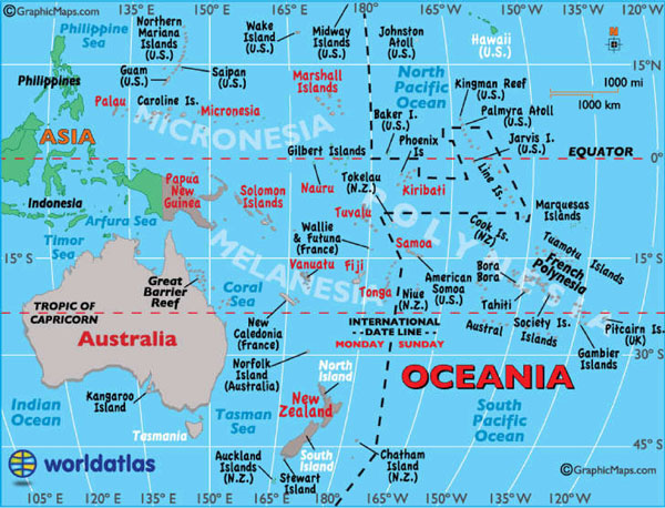 Above is a map of the Pacific Ocean islands to orient you as you read through my adventures on this leg of my journey.
After a good night's sleep and a hot shower, I wandered over to the fifth floor, roof-top restaurant and ordered two breakfasts. Since my coupon said I had the right to a breakfast for two people, I thought I'd order a take-away sandwich for lunch as well. I shared some of my breakfast with multiple curious and clearly hungry House Sparrows (Passer domesticus) that were fluttering about the restaurant. Although I then had to vacate my room by 11:00 a.m., I was able to check into my shared room right away and then spent most of the rest of the day sitting on my 9th floor balcony on the other side of the hotel, enjoying the breeze off the ocean and the birdlife that I could see on the ground, which included Common Mynahs, Zebra Doves (Geopelia striata), feral chickens (Gallus gallus domesticus), more House Sparrows as well as a rather lovely, colourful, male House Finch (Haemorhous mexicanus, which visited my balcony three times (yet I was unable to react in time to photograph it, to my chagrin) and this Red-crested Cardinal (Paroaria coronata). At 4:00 p.m. I descended to the hotel lobby to meet up with Chris, our Canadian tour leader for this trip, and my new Adventures Abroad tour group, consisting of 14 Americans plus myself. My room mate, an 82-year-old, Argentinian, university professor of Spanish, from Santa Cruz, California, arrived later and I found her sleeping in her bed on my return from dinner. After the rest of our group was complete, Chris gave an introduction to our tour and to Waikiki, and we walked to dinner at a restaurant called Duke's, named after one of the two prominent statues located on Waikiki Beach: Duke Paqa Kahanamoku, an Olympic swimming champion and the 'Father of Modern Surfing'. The other statue seen among my photos for today is of Prince Jonah Kuhio Kalaniana'ole, a member of the Hawaiian royal family who served as a delegate to the United States Congress and championed Native Hawaiian rights. 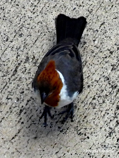 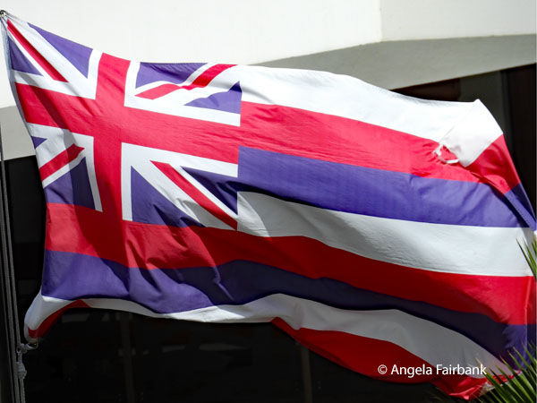 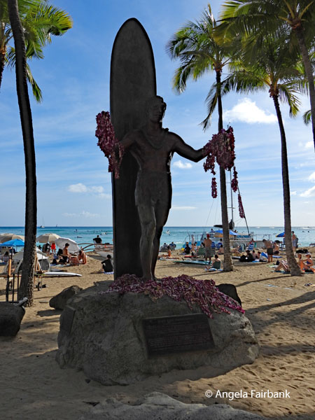 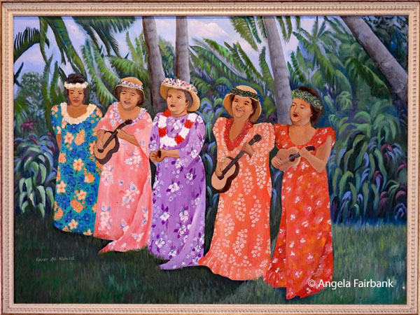 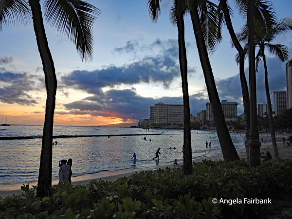 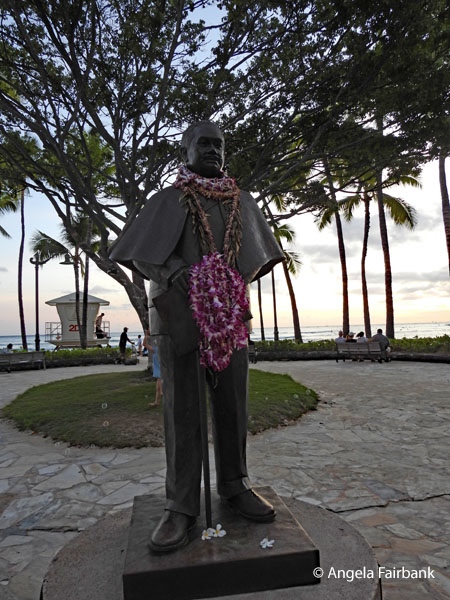 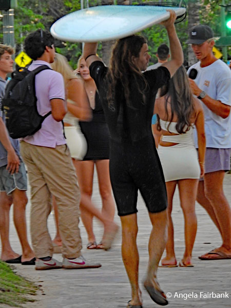 Monday, July 13/14, 2026: Honolulu, Hawai'i, USA to Pohnpei, Federated States of Micronesia (6.850° N 158.217° E)
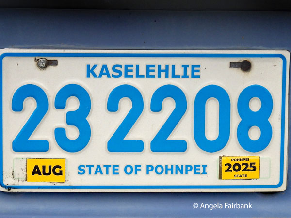
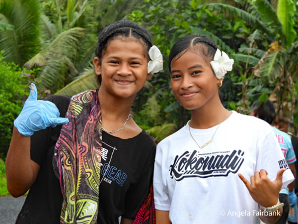
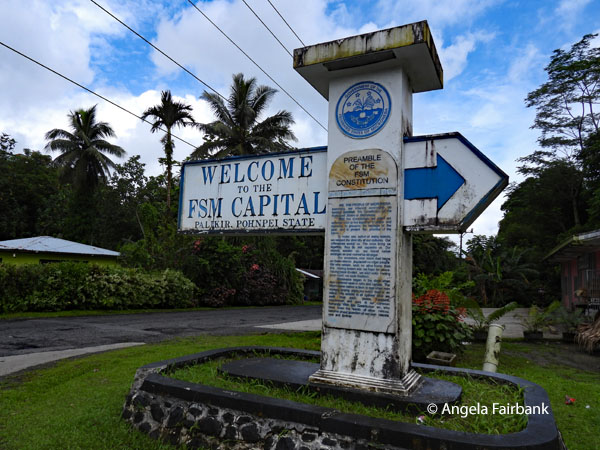
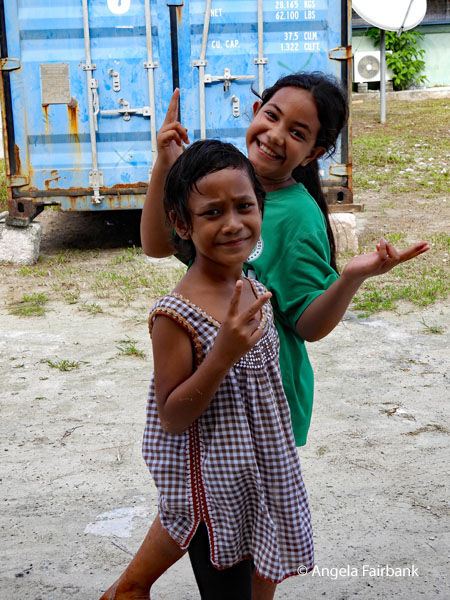
Leaving the hotel at the unearthly hour of 4:00 a.m. for the second day in a row for a 7:00 a.m. flight, we took United Airlines' Island Hopper series of flights from Honolulu, including landings in Majuro in the Marshall Islands and then a US Air Force Base in the same country, and lastly in the Federated State of Kosrae, finally arriving in Pohnpei, Federated States of Micronesia (UN country 153) in the late afternoon. After going through immigration and customs and picking up our bags, we were greeted by Kenny - a Japanese man, who had married a Palauan and settled in Pohnpei 44 years ago - our local guide and bus driver but also a PADI certified dive instructor. He greeted us with the local salutation, which is seen here on vehicle licence plates, Kaselehlie. Pohnpei is the largest and most mountainous of the Federated States of Micronesia, with 2,600-foot peaks. It also records over 300 inches of annual rainfall - making it among the wettest places on earth - and contains waterfalls and some of the Pacific's largest rainforests. The coast is fringed by mangrove swamps rather than beaches, with several smaller inhabited islets and atolls scattered nearby. After arriving at our accommodation, checking in, and getting our rooms, we had a bit of time to rest before meeting for dinner in the hotel dining room. As an added note, I did opt to exit the plane at Majuro and go into the tiny terminal, where there were a couple of small shops - one selling souvenirs and the other, food and fridge magnets - as well as a crowded (for the size) waiting room. I decided to buy a fridge magnet here just in case we were somehow unable to get back here in four-days time as planned. The Federated States of Micronesia, or simply Micronesia, and referred to by the locals as FSM, is an island country in the Micronesia region of Oceania. The federation encompasses the majority of the Caroline Islands (excluding Palau) and consists of four states from west to east, Yap, Chuuk, Pohnpei, and Kosrae, which span the western Pacific just north of the equator for a longitudinal distance of almost 2,700 km (1,700 mi). Together, the states comprise around 607 islands and a combined land area of approximately 702 km2 or 271 sq mi. The entire island federation lies across the northern Pacific accordingly: northeast of Indonesia and Papua New Guinea, south of Guam and the Marianas, west of Nauru and the Marshall Islands, east of Palau and the Philippines, about 2,900 km (1,800 mi) north of eastern Australia, 3,400 km (2,100 mi) southeast of Japan, and some 4,000 km (2,485 mi) southwest of Honolulu, Hawai'i. The country's total land area is relatively small, but its waters occupy nearly 3 million km2 (1.2 million mi2) of the Pacific Ocean, giving the country the 14th-largest exclusive economic zone in the world. The nation's capital is Palikir, on Pohnpei Island, and its largest city is Weno, an island municipality in the Chuuk Lagoon. Each of its four states is centred on one or more main volcanic islands, and all but Kosrae include numerous outlying atolls. The FSM spreads across part of the Caroline Islands in the wider region of Micronesia, which consists of thousands of small islands divided among several countries. The term Micronesia may refer to the Federated States of Micronesia or to the region as a whole. The FSM was a part of the former Trust Territory of the Pacific Islands (TTPI), a United Nations Trust Territory administered by the United States from 1947 to 1994. On May 10, 1979, the islands ratified a constitutional government and became a sovereign state after attaining independence on November 3, 1986 under a Compact of Free Association with the United States. Other neighbouring island entities (also former members of the TTPI) also formed constitutional governments, becoming the Republic of the Marshall Islands and the Republic of Palau. The FSM has a seat in the United Nations and has been a member of the Pacific Community since 1983. Wednesday, July 15, 2026: Pohnpei, Kolonia and Lenger Island, Federated States of Micronesia This morning in Kenny's bus, we explored Kolonia, Pohnpei's coastal capital and the administrative heart of the Federated States of Micronesia. Built by Spain in 1887 as a colonial administrative centre with a protective fort, the town passed to Germany in 1899 and then to Japan during World War I. Unlike previous colonial occupiers, the Japanese brought thousands of settlers, who eventually outnumbered indigenous populations on some islands. More specifically, we visited the ruins of a church belltower and a cemetery from the German period, as well as the crumbling walls of the original Spanish fort, both seen in my photos below.  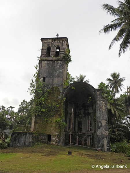 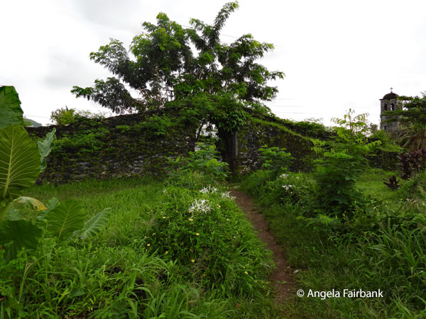 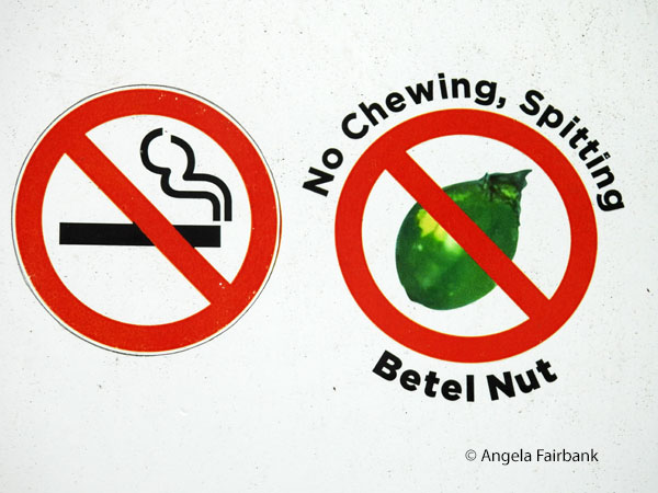 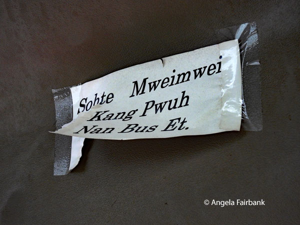 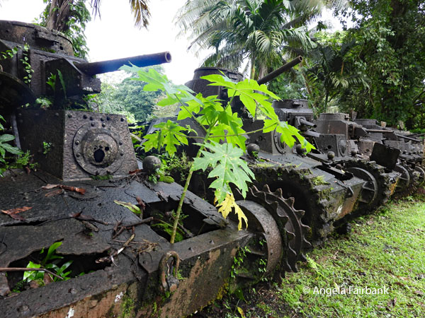 Our next stop was to a cafe to order lunch and use the toilets followed by an area of forest in which a number of rusting Japanese tanks were parked. Apparently, the Japanese had left a total of 95 tanks on the main island of Pohnpei. Unlike neighbouring islands that saw devastating combat, the US military bypassed Pohnpei, and the tanks were consequently abandoned intact when Imperial Japan surrendered. The only wildlife I managed to capture with my camera here were a fruit bat, hanging from a tall, bare tree, and a Micronesian Starling (Aplonis opaca) also high in a bare tree. Our next stop was a school, the location of a sample of Yap money - Yap being the Western-most federated state, as mentioned earlier - the former currency on these islands. Known as stone money, these giant disks up to 12 feet in diameter are considered the largest coins in the world. They are still used for major transactions such as dowries or land purchases. School children were walking down the road, hence the few photos of the girls here - to me, much more photogenic than a large round stone with a hole in its centre.
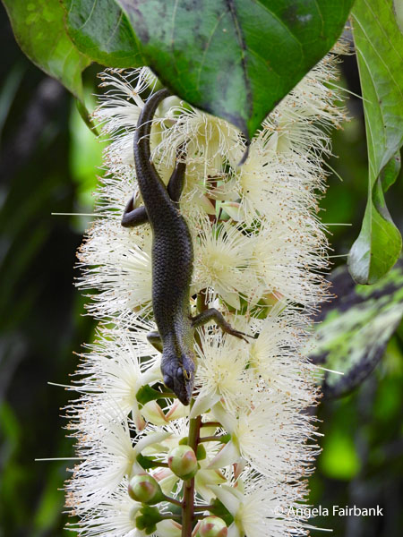
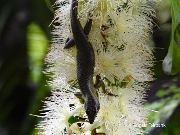
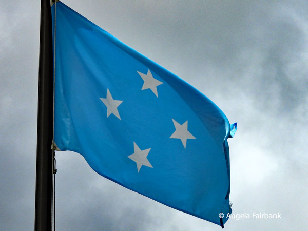
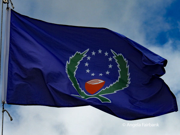
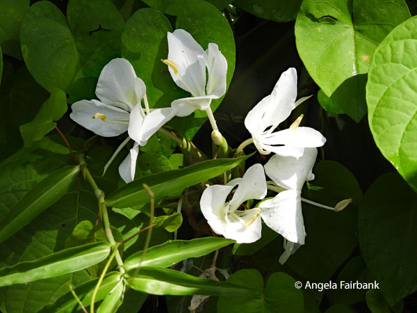
  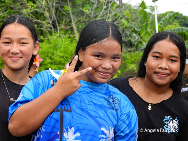 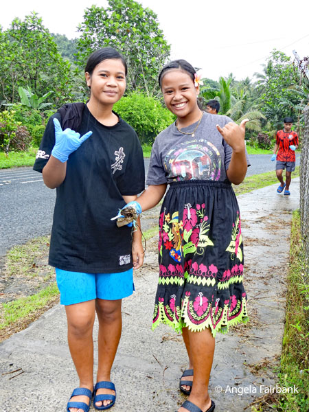 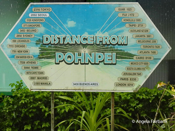  Next we were taken to the post office for those of us who wished to send postcards home. Luckily for me, they also sold fridge magnets and t-shirts here. The Tourist Office next door sold postcards as well and had free brochures but no maps. The sign you see above with the distances from Pohnpei was in front of the tourist office. Our next visit was to the capitol buildings in the capital of Palikir, containing these flags: the one with the 4 stars is the flag of FSM and the other is the flag of the state of Pohnpei. We went into the library from which window I saw and photographed this (probably) Pohnpei Island skink (Emoia ponapea), the only lizard strictly endemic to the island and also known as Kiester's emo skink. I have been unable to identify the beautiful, white flower it is resting on, however. In several places, we found signs telling people not to spit betel nut, the chewing of which plus its lime catalyst, is an addiction here as in other places I have visited in this area of the world. The message you see in my photos in the local language (Sohte mweimwei kang pwuh nan bus et) is the same request and was taped to the ceiling of our bus. Apparently this habit can start in children as young as five.
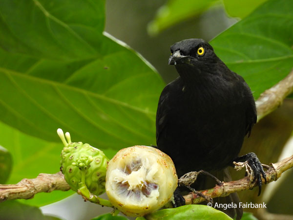
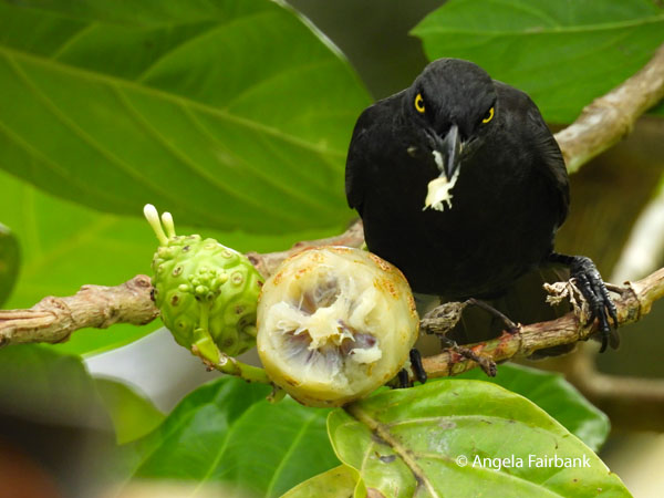
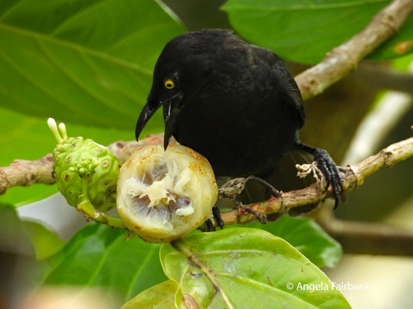
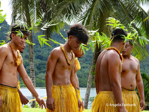
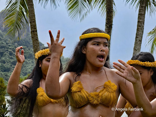
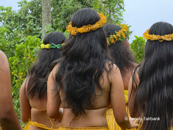
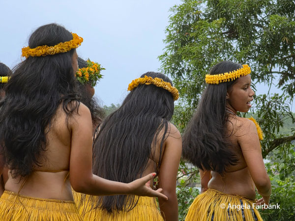
     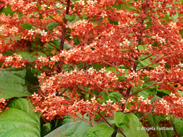 We returned to the cafe for lunch, and I ate quickly and went out onto the street for a wander and bought a local skirt for a very small amount of money. They are quite distinctive here among the women. After Kenny had picked up his grandson, Yugi, from school, he arrived back at the restaurant to drive us to our next event. It had been arranged that we would watch a cultural show at 2:30 p.m. but we had to wait a while, thankfully in the shade, for the young high school children, from the Kingdom of U (you will read more information about this town tomorrow), to arrive, get changed into the costumes of yellow grass skirts and bras plus a grass headband for the girls, and grass skirts pus a headband fashioned from ferns for the boys. In the interim, I was pleased to get some good shots of a yellowed-eyed Micronesian Starling (likely the Pohnpeian subspecies Aplonis opaca ponapensis) feeding on noni fruit (Morinda citrifolia). As the entertainers sang and danced without any recorded music for once, just their own rather strident voices, we were amused by the fact that all their dances (about four of them) were based on marching, possibly introduced during the time when Germans governed the islands.
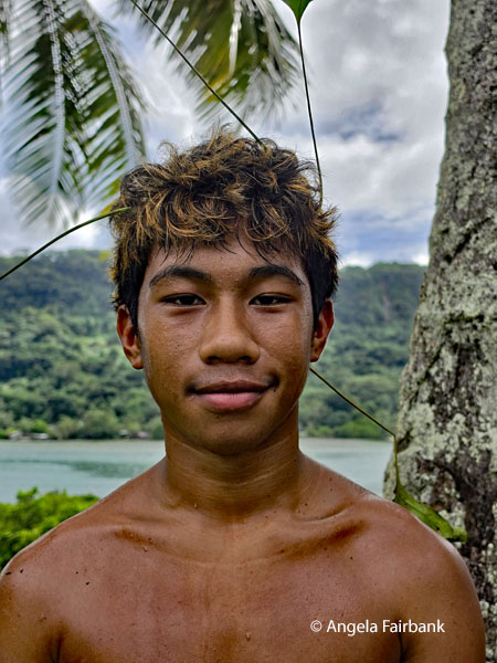
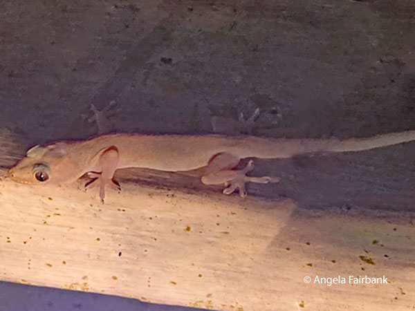
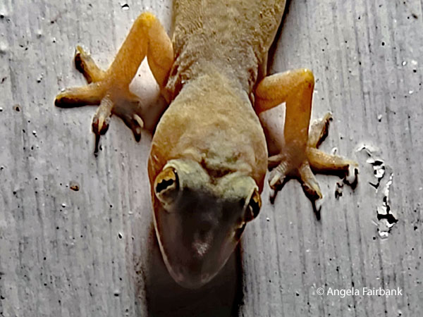
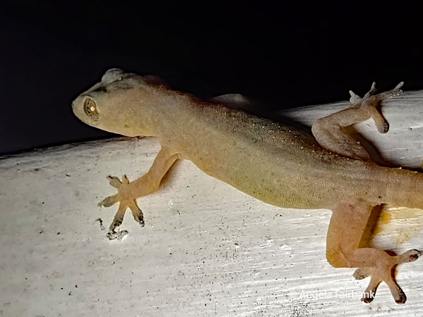
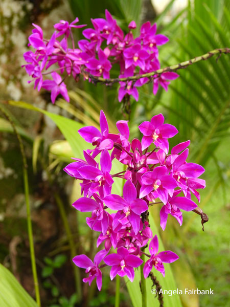    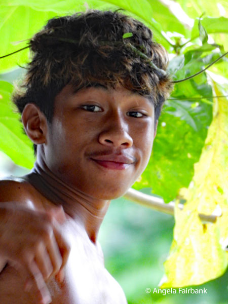     After a quick visit to a souvenir shop where the concentration was on small items made by weaving grasses into shapes like turtles and adding cowrie shells, and where this young cutie was hanging out with her grandfather, the shop owner, we ended today's outing with a viewpoint over a lagoon where dredging was taking place for construction sand. Then later, at dinner held at an outside restaurant, I photographed this Mourning Gecko (Lepidodactylus lugubris) as well as a couple of House Geckos (Hemidactylus frenatus), which were hanging around on the ceiling.
 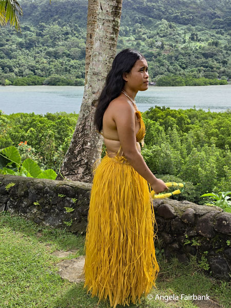 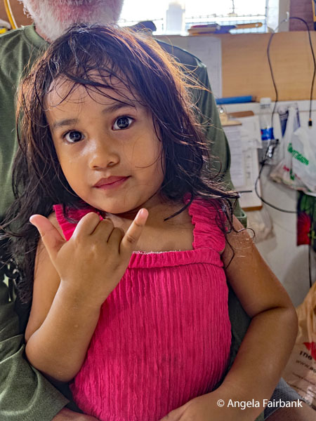 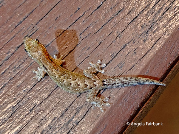 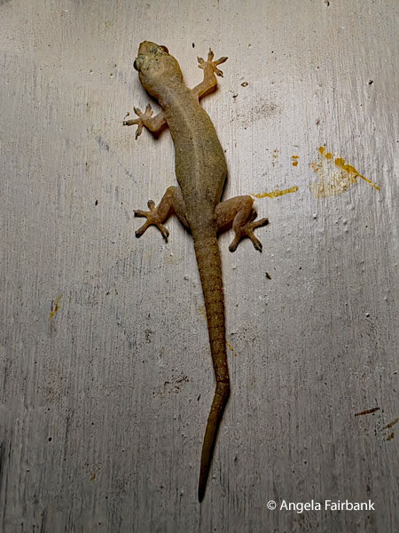    Thursday, July 16, 2026: Pohnpei and Nan Madol, Federated States of Micronesia
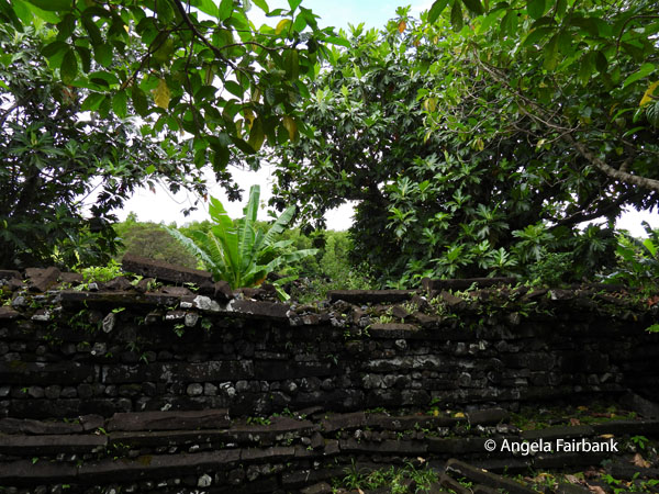
Today, after driving through the kingdom of U, hence the sign here, the smallest of the five chiefdoms on Pohnpei (18.5 km2), our main goal was to visit Nan Madol, the ruins of an ancient city and Micronesia's first UNESCO World Heritage Site. Inscribed in 2016 on both the World Heritage List and the List of World Heritage in Danger, this complex, made up of over 100 artificial islets off Pohnpei's southeast coast, was constructed some time between 1200 and 1500 AD with basalt and coral boulder walls rising from the shallows of a coastal lagoon. 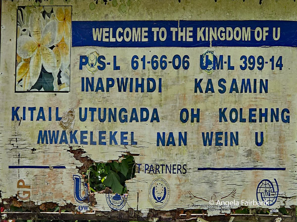 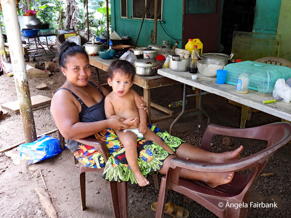 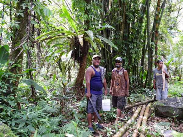 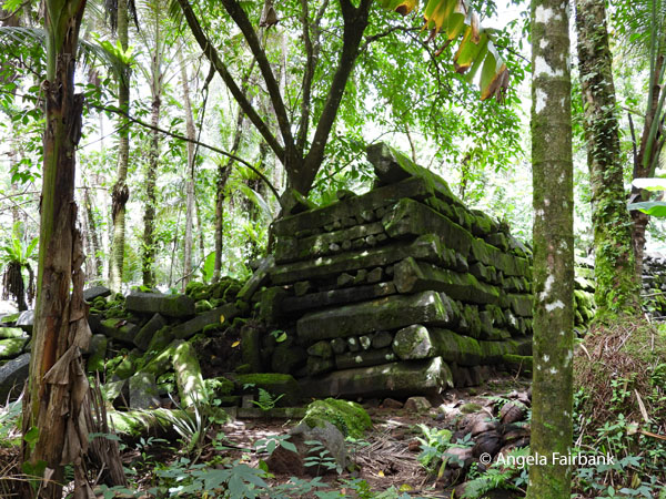 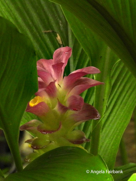 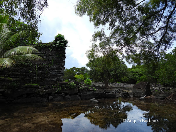 Its stone palaces, temples, tombs, and residences were the domain of the Saudeleur dynasty, and housed at its peak over 1,000 people at a time when Pohnpei's entire population reached barely 25,000. The construction remains one of the Pacific's great mysteries, with some of the many basalt columns weighing 80 to 90 tonnes yet remaining intact for more than a thousand years. UNESCO recognizes Nan Madol as the Pacific Ocean's most completely preserved architectural ensemble of habitation, leadership, and ceremony.
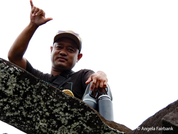
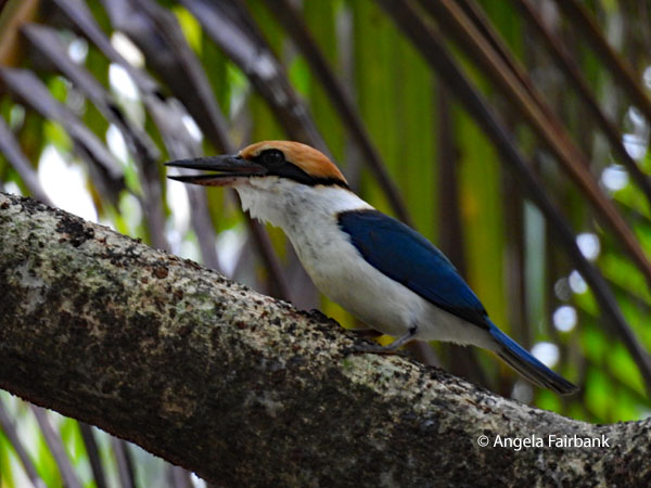 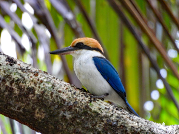  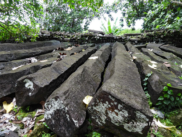 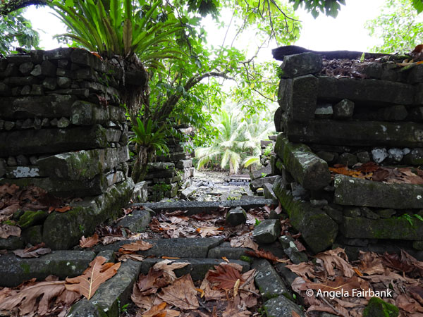 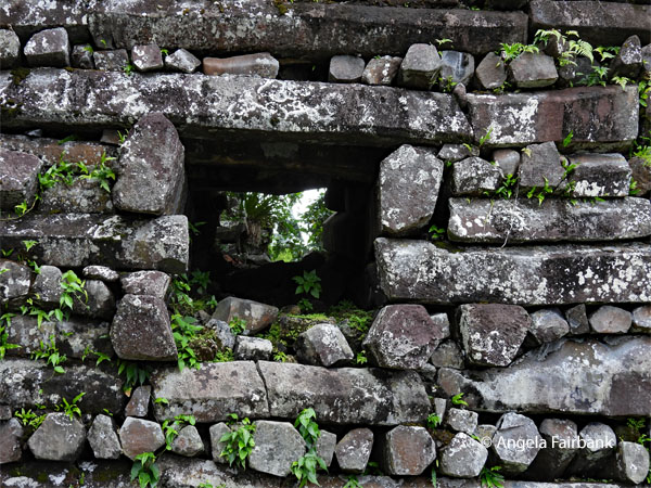 I wasn't sure if I wanted to go, not being a fan of crumbling ancient structures. What's more, Chris had warned us of the treacherous path to get there, with the added requirement of walking through thigh-high water (it was more like half-calf height but of course subject to tides). Yet I ended up enjoying it, more especially perhaps because I got a great shot or two of this Pohnpei Kingfisher (Todiramphus reichenbachii). There were more birds flying around in the trees as usual but the only ones I was able to identify were the Micronesia Starlings. I am sure I saw and heard Pohnpei Lorikeets (Trichoglossus rubiginosus) but never managed to get a photo of them. Kenny's son joined us for the walk to Nan Madol as did his sister-in-law and his other grandson, somewhat older than Yugi, essentially to help us along the so-called treacherous path, which once again I managed in my flip flops without any damage whatsoever. You will see Kenny's son in one photo on top of a wall in Nan Madol. I then ate my pre-packed lunch at the impressive Kepirohi Waterfall, where some of our group swam, and where more of Kenny's family joined us, including his wife, and Yugi, and near where I found what might be a Micronesian skink (Emoia adspersa aka Steindachner's emo skink), before returning to our hotel. Nonetheless, I was grateful the family was with us and thanked them with the phrase Kalahngan lap.
 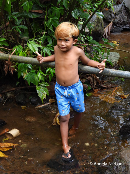 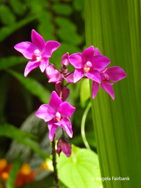 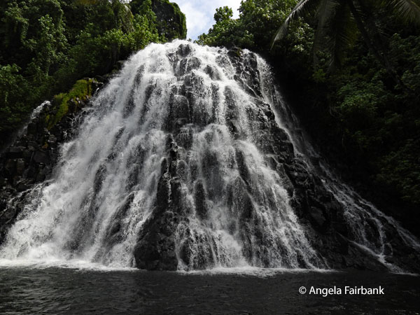 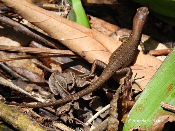   Friday, July 17, 2026: Pohnpei and Nahlap Island, Federated States of Micronesia
Today's attempt to get to the small, private island of Nahlap off our main island was thwarted due to rain and windy weather after a long, almost 2-hour drive around the island to the boat wharf. We surmised that the waves were too choppy for the boat to come over from the small island, containing what we were told was a lovely beach and a reef with interesting sea life, to collect us. We had stopped en route at a supermarket to buy snacks and drinks in lieu of lunch but ended up consuming some of them in the bus on our long drive back to the hotel. All in all, a most disappointing day, and I wished I had stuck to my first decision, which was to stay at the hotel all day to catch up with things and have some me time. Nevertheless, I did manage to get some work on my travelogue completed this morning and then again when I got back to my hotel room at the end of the day before dinner at probably our nicest dinner venue so far of the trip - a place called the Hideaway - although it was after dusk when we arrived there in the rain so it was not looking its best. Saturday, July 18, 2026: Pohnpei, Federated States of Micronesia to Majuro, Marshall Islands (7.1315° N, 171.1845° E)
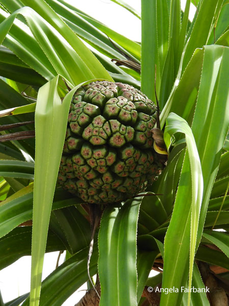
We had the morning off, so I caught up on writing my travelogue. We then checked out of the hotel at noon and were driven to the airport where we checked into our flight and went through immigration. The security check opened about an hour and a half later, so we got through that before sitting in the lounge where we were told our flight was delayed for about 90 minutes. Then, just as we were about to board, we were informed that our group's luggage would not be loaded due to a general overweight of the flight but would be sent to Marshall Islands in three days time. Chris went to complain because according to our tight schedule, we were no longer planning to be in the Marshall Islands in three days' time. After boarding our flight, unsure of which luggage would make it and which would not, I watched a movie about Michael Jackson called Michael and starring his nephew. Two hours later, on our arrival in dark and rainy Majuro, Marshall Islands (UN country number 154) we discovered that all of us with priority status with United and Star Alliance were lucky enough to have had our bags travel with us, while most of those without such status had not. Once those of our group who were missing their bags had finally completed all the necessary forms and had received vouchers from the airline to buy some clothes, we were finally provided with a college bus, driven by Johnny, and met our female local guide, Romie, who greeted us with the word Iokwe (which appears on vehicle licence plates) before taking us to our hotel - at least for six of us, the other nine being billeted at Airbnbs at various places along the main road. We had our pre-ordered dinner at around 10 p.m. local time and then got straight to bed. The Republic of the Marshall Islands (or RMI) is an island country lying west of the International Date Line and north of the equator in the Micronesia region of the Northwestern Pacific Ocean. The territory consists of twenty-nine coral atolls and five main islands as well as 1,220 other very small ones, divided across two island chains: Ratak in the east and Ralik in the west. Ninety-eight point six two percent of its territory is water, the largest proportion of water to land of any sovereign state. The country shares maritime boundaries with Wake Island to the north, Kiribati to the southeast, Nauru to the south, and the Federated States of Micronesia to the west. The capital and largest city is Majuro, home to approximately half of the country's population. The Marshall Islands are one of only four atoll-based nations in the entire world, along with Kiribati, the Maldives, and Tuvalu. Austronesian settlers reached the Marshall Islands as early as the 2nd millennium BC and introduced Southeast Asian crops, including coconuts, giant swamp taro, and breadfruit, as well as domesticated chickens, which made the islands permanently habitable. The first Europeans to visit the islands were the crew of a Spanish maritime expedition led by Alonso de Salazar, who [in 1526 arrived in Taongi], which they called Isla de San Bartolomé (Saint Bartholomew Island). They were the survivors of a larger expedition [that] had sailed from Spain in 1525 led by Garcia Jofre de Loaisa. In 1528, another Spanish ship arrived in the Marshall Islands and visited Ujelang and Enewetak, this time led by Alvaro de Saavedra, who was sailing back to the Americas from the Spice Islands. Later, Spanish galleons usually sailed a Pacific route farther north and avoided the Marshalls. European maps and charts named the group for British captain John Marshall, who explored the region in 1788. American Protestant missionaries and Western business interests began arriving in the 1850s. German copra traders dominated the economy in the 1870s and 1880s, and the German Empire annexed the Marshalls as a protectorate in 1885. The Empire of Japan occupied the islands in the autumn of 1914 at the beginning of World War I. After the war, the Marshalls and other former German Pacific colonies north of the equator became the Japanese South Seas Mandate. The United States occupied the islands during World War II and administered them as part of the Trust Territory of the Pacific Islands after the war. Between 1946 and 1958, the United States conducted 67 nuclear tests at Bikini Atoll and Enewetak Atoll. The U.S. government formed the Congress of Micronesia in 1965, a plan for increased self-governance of Pacific islands. In May 1979, the United States gave the Marshall Islands independence by recognizing its constitution and president... Full sovereignty or self-government was achieved in a Compact of Free Association with the United States. The Marshall Islands has been a member of the Pacific Community (PC) since 1983 and a United Nations member state since 1991. Politically, the Marshall Islands is a presidential parliamentary republic in free association with the United States, with the U.S. providing defence, subsidies, and access to U.S.-based agencies such as the Federal Communications Commission and the United States Postal Service. With few natural resources, the islands' wealth is based on a service economy, as well as fishing and agriculture. Aid from the United States represents a large percentage of the islands' gross domestic product, and although most financial aid from the Compact of Free Association was set to expire in 2023, it was extended for another 20 years that same year. The country uses the United States dollar as its currency. In 2018, it also announced plans for a new cryptocurrency to be used as legal tender. The majority of citizens of the Republic of Marshall Islands are of Marshallese descent, although there are small numbers of immigrants from the United States, China, Philippines, and other Pacific islands. The two official languages are Marshallese, which is one of the Oceanic languages, and English. Almost the entire population of the islands practices some religion: three-quarters of the country follows either the United Church of Christ-Congregational in the Marshall Islands (UCCCMI) or the Assemblies of God. The Marshall Islands are visited by fewer than 6,000 tourists each year and in 2019 were still rated one of the top five least visited countries in the world! They are also considered to be one of the most endangered countries in the world due to climate change and flooding. Sunday, July 19, 2026: Majuro, Marshall Islands Our travel company's itinerary in its flowery language that was probably AI-generated states that “the island of Majuro appears as a delicate necklace of land draped around a turquoise lagoon - some of it barely wider than the airport runway. This is a nation of aquamarine atolls sprinkled with coconut, pandanus, and breadfruit trees, where few other crops survive the salty sand, and where the Marshallese long ago turned to the sea, becoming expert fishers and navigators. One of the world's youngest nations, independent only since 1986, the Republic of the Marshall Islands has a total land area of just 70 square miles scattered across over 750,000 square miles in the central Pacific Ocean.” 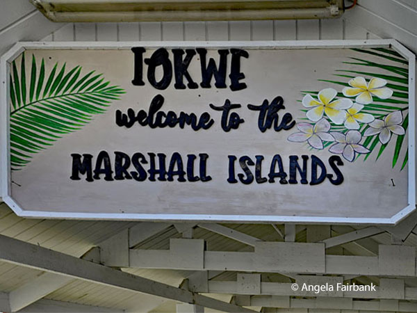 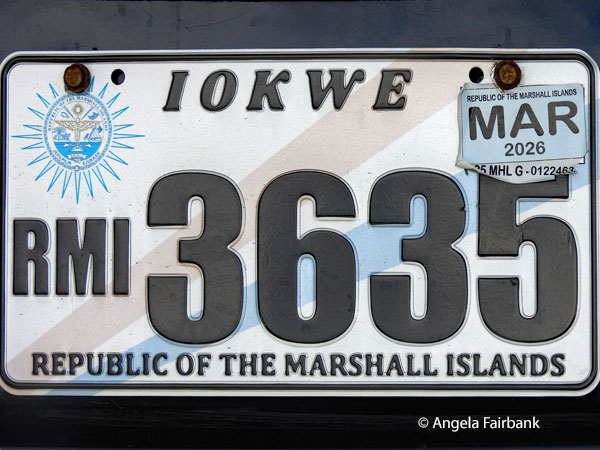 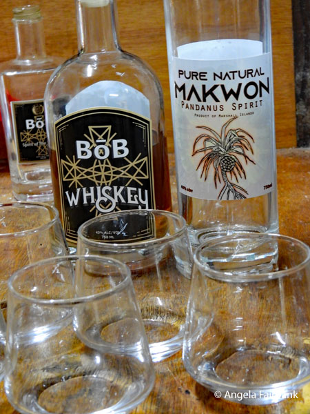 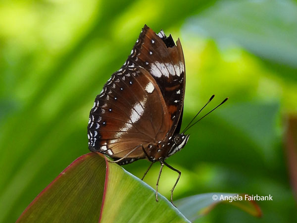 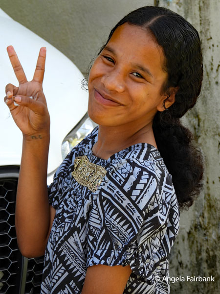 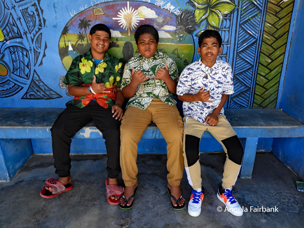 Our first stop today was to a local distillery called Marshall Islands Pandanus Company, located in someone's garage, where whiskey was being made out of ripe fruit from the pandanus tree (called 'Bob' in the local vernacular). We got to taste some, but the cost was more than I was prepared to spend, so I settled for a ten US dollar bottle of vodka called Oceanic, which somewhat worryingly does not turn up when I google it. It is definitely not high quality but at least it is a souvenir. The butterfly I photographed in the back garden of the house is possibly a Common Eggfly (Hypolimnas bolina). Our next stop was the Alele Museum, Library and Archives funded by an Australian Aid Program, containing displays of authentic tools, clothing, fishing, outrigger canoes, tattooing and clear written explanations of each. There was also a large collection of 19th century photographs. But what perhaps retained the majority of our attention was the devastation to the islands undertaken by the U.S. government when between 1946 and 1954 they conducted 67 'weapons-related' nuclear detonations in, above, and around Bikini and Enewetak atolls, at least according to the list displayed. There may have been many more not accounted for. There are quotes and photos of people affected, such as “I had seven miscarriages. If it wasn't (sic) for what the United States had done to me and my family, my children would be growing up like the others.” “A soldier told us our lives were smaller than a fingernail. They used us as guinea pigs.” “They knew what they were doing. They used us as human experiments.”
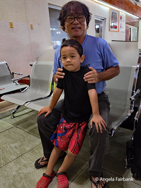
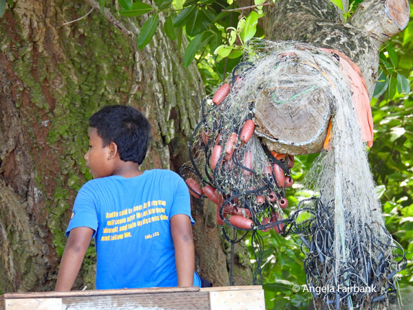
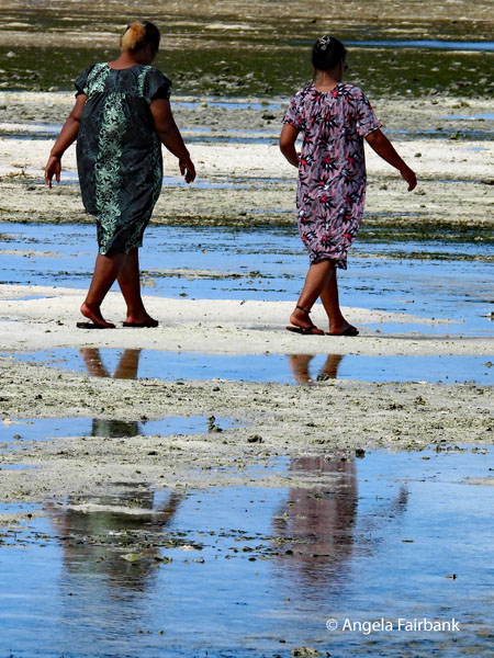
 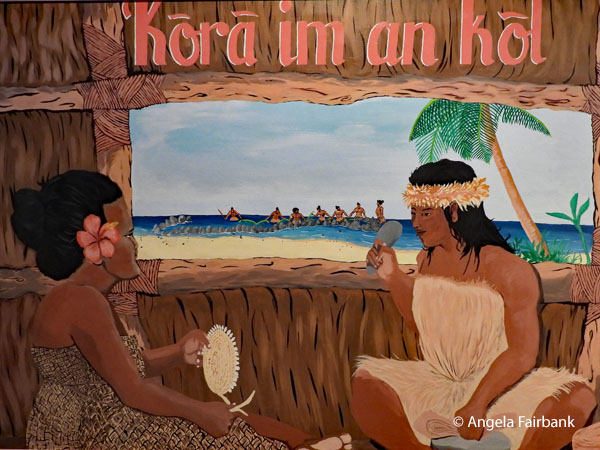 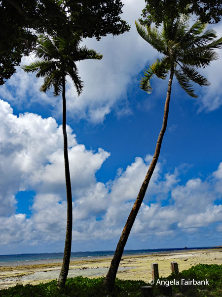 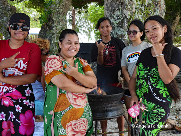   Having finished browsing the museum before the others, I wandered outside to see what was happening on the main street and met this girl and these boys in this colourfully decorated bus stop outside the museum. The boys told me they were 8, 9 and 9 respectively and in grades 4, 6 and 6. They were off school for the next two months and liked playing baseball in their spare time. It was Sunday, everyone was dressed up in their finest, the women with flowers in their hair, and the church next door was so crowded with worshippers, latecomers were gathered outside as there was no longer any room inside. I joined one nursing mother who was listening to the lovely hymns coming from inside for a while.
      We then headed to the main hotel we had not been able to get rooms in due to it being full and ordered some lunch to take away. We were also there to pre-order our dinner for the evening. When I asked where the nearest toilets to the restaurant were, a young female staff member from the restaurant offered to show me. I followed her outside, past the pool and down a corridor, and when she opened the door to the women's restroom, she said to me as I passed her to enter, “Enjoy!”
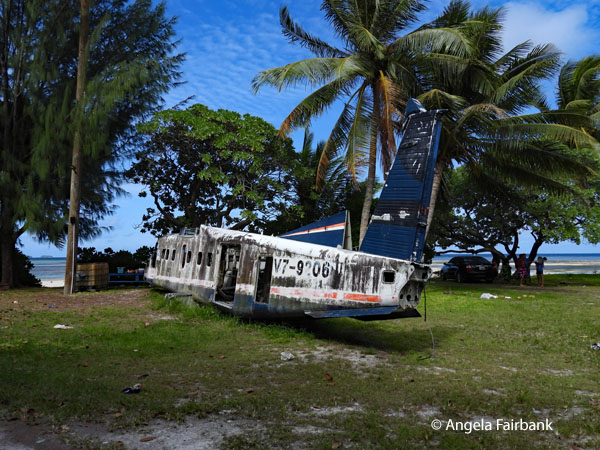
Our final drive was to the end of the island to see its beaches. We made a stop at the Peace Park Memorial, constructed by the Japanese government, to commemorate soldiers who fought and died in the Pacific during WWII. It was unfortunate that today it appeared to be a place for youth to hang out as evidenced by the piles of garbage strewn about. Our ultimate goal was Laura Beach at the far western end of the atoll, the longest stretch of white sand on Majuro, containing an old rotting plane (apparently an Air Marshall Islands retired Dornier 228 turboprop aircraft) and toilets. The tide was out so it was not swimmable and although we had been told we would see crowds of people there as it was the number one spot for locals to hang out on a weekend, there were in fact only a handful of groups, to all of whom I said Iokwe and asked to photograph them, saying kommol tata to thank them afterwards. 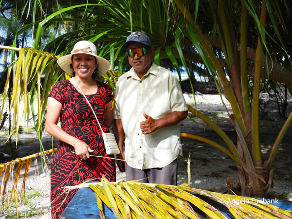 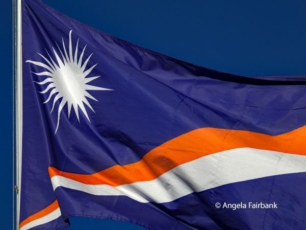 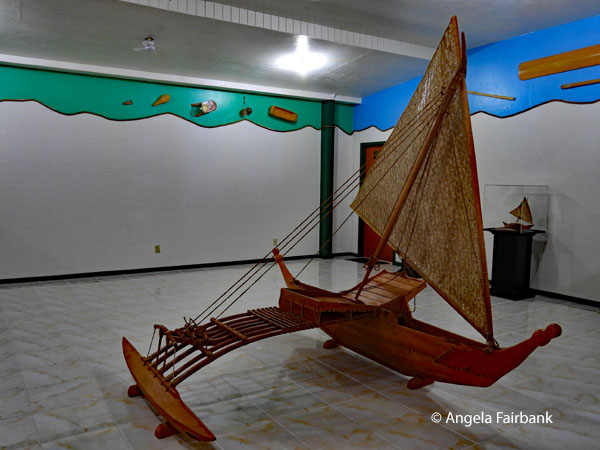 Monday, July 20, 2026: Majuro, Marshall Islands and a thwarted attempt to fly to Nauru
Our itinerary description was ominous: “There is a certain kind of travel day that cannot be planned, only experienced. Majuro specializes in these. One of the least visited places on earth, this is a destination where the concept of a fixed itinerary softens at the edges - where a chance encounter can redirect the afternoon, and where the unscripted moment is often the one you'll remember longest.” As our scheduled flight wasn't until the afternoon, we had the morning to visit WAM (Waan Aelon in Majol) canoe house and learn about traditional Marshallese canoe construction. The program is a vocational one to keep the art of boat building, sail-racing, navigation, woodworking, and weaving alive. After a visit to the building displaying various craft in various sizes, we ventured outside in cloudy weather, prepared for rain and all of my group, with the exception of myself as I was feeling under the weather, chose to take about a 15-minute ride in a typical Marshall Islands boat. Next, at the Tobolar Copra Processing Plant, which I also stepped into only briefly, we were offered the chance to see copra being converted into coconut oil, soaps, and lotions. Several of my companions also joined me on the bus before the tour ended complaining about the nauseating smell being produced by the manufacturing process. We were then dropped off at the airport to check in to our flight, weigh our luggage, and have a light lunch at the not-too-bad restaurant there. Then, after going through immigration and security and waiting at the gate for a while, we were informed that the Air Nauru plane would not be arriving after all. Instead, we were asked to collect our checked-in bags, leaving the luggage labels on them, and - luckily for us - our tour leader was able to book rooms for us at last night's hotel so my room mate and I were assigned the same room we had had the previous two nights. We were told we would be taking an early flight tomorrow morning, which meant we would likely still have enough time to visit Nauru and experience all the things planned for us there. 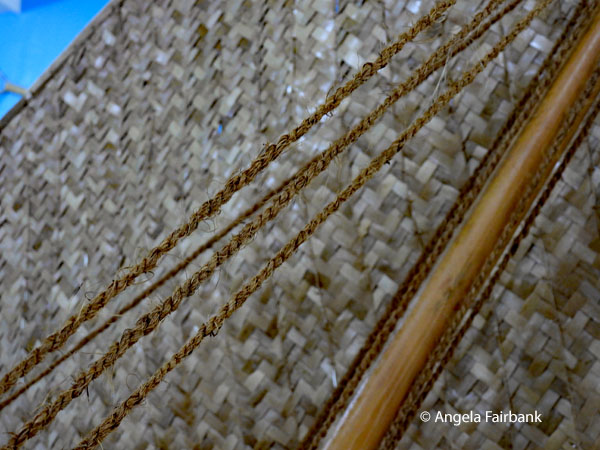 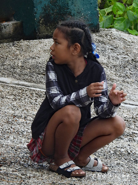 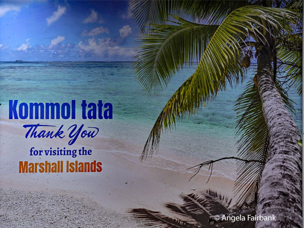 Tuesday, July 21, 2026: Nauru, Pleasant Island (0.5228° S, 166.9315° E)
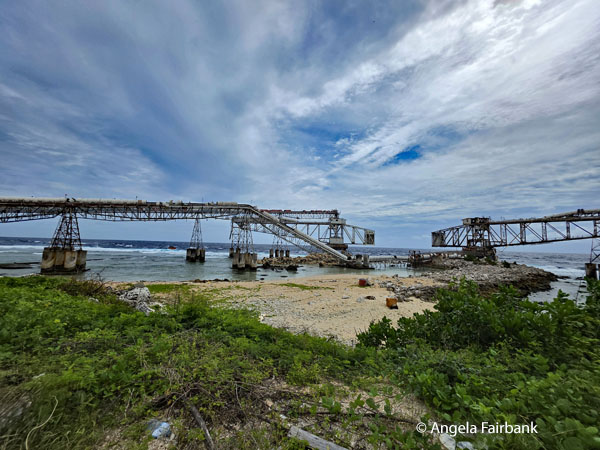
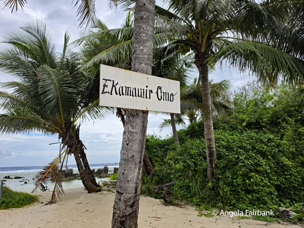
Since the announcement about our new flight came yesterday evening, our departure time was adjusted a few times, and we were told we would not have to get up early after all. We were in fact able to enjoy breakfast at our hotel at a reasonable hour before checking in and going through security again but skipping immigration because our passports were exit-stamped yesterday. We collectively breathed a sigh of relief as our plane lifted off the runway and flew a shortish distance to UN country number 155 for me, the Republic of Nauru, formerly known as Pleasant Island, an island nation and microstate in the South Pacific Ocean, lying within the Micronesia subregion of Oceania, its nearest neighbour being Banaba (part of Kiribati) about 300 kilometres (190 mi) to the east. With an area of only 21 square kilometres (8.1 mi2; 2,100 ha; 5,200 acres), Nauru is the third-smallest country in the world, after Vatican City and Monaco, making it the smallest republic and island state, as well as the smallest member state of the Commonwealth of Nations by both area and population, which at about 10,800 is the world's third-smallest population (not including colonies or overseas territories). Nauru is a member of the United Nations, the Commonwealth of Nations, and the Organisation of African, Caribbean, and Pacific States. Settled by Micronesians circa 1000 BCE, Nauru was annexed and claimed as a colony by the German Empire in the late 19th century. After World War I, Nauru became a League of Nations mandate administered by Australia, New Zealand, and the United Kingdom. During World War II, Nauru was occupied by Japanese troops and bypassed by the Allied advance across the Pacific. After the war ended, the country entered into United Nations trusteeship. Nauru gained its independence in 1968. At various points since 2001, it has accepted aid from the Australian Government in exchange for hosting the Nauru Regional Processing Centre, a controversial offshore Australian immigration detention facility. As a result of heavy dependence on Australia, some sources have identified Nauru as a client state of Australia. Nauru is a phosphate-rock island with rich deposits near the surface, which allowed easy strip-mining operations for over a century. However, this has seriously harmed the country's environment, causing it to suffer from what is often referred to as the resource curse. The phosphate was exhausted in the 1990s, and the remaining reserves are no longer economically viable for extraction. A trust established to manage the island's accumulated mining wealth, set up for the day the reserves would be exhausted, has diminished in value. To earn income, Nauru briefly became a tax haven and illegal money laundering centre. Nauru - the least visited country in the world (and it was not difficult to understand why) - lies plum in the middle of the Pacific Ocean. Only one airline serves Nauru, and flights are few and far between. The island receives just over 200 visitors per year, most of them diplomats, politicians, development workers, and contractors, so tourists are extremely rare. Nonetheless, land we did (finally) and were met by the welcoming words in the airport Ekamawir Omo, our local tour guide, Sindrea, and driver, Braveman Atoll, in a green metro bus. We were then driven around the island with most stops concentrating on the phosphate industry with a small mention of the aforementioned Australian immigration detention and processing facility. We also visited the country's only body of fresh water, the slightly brackish Buada Lagoon, ringed by dense vegetation and palm groves, and a World War II monument, although I skipped the visit to a cave and instead looked for birds, only seeing black noddies (Anous minutus), also known as white-capped noddy, and blue-billed white terns ((Gygis candida)), both of which I had seen in previous countries on this trip, as well as rock pigeons (Columba livia), which was rather disappointing. The photos below reflect a phosphate-loading operation and Ewa beach near a shopping centre where I found a fridge magnet and some medicine for my cold and my left eye, which has curiously become rather red over the past days. 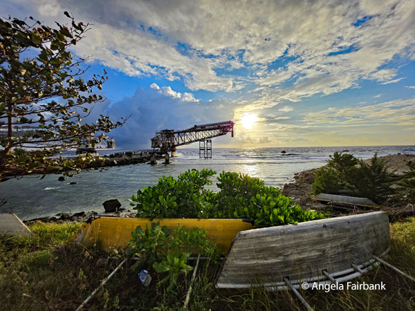 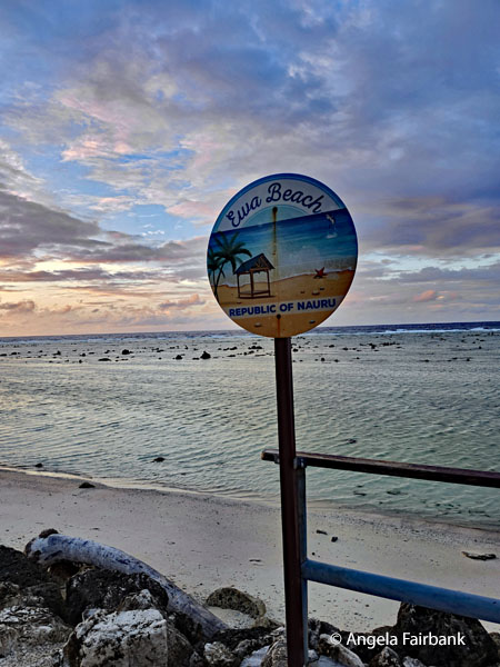 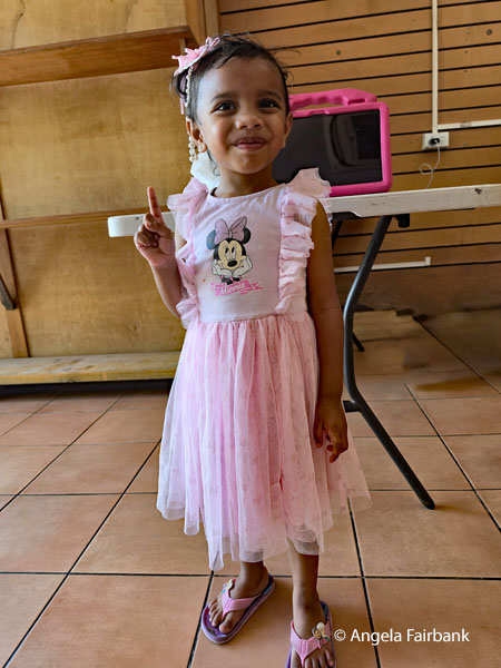 Wednesday, July 22, 2026: Nauru (new name Naoero)
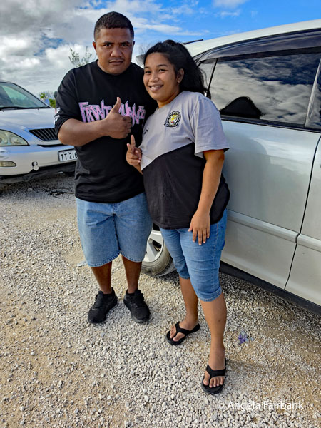
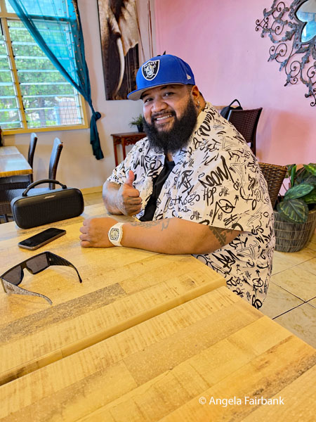
According to our original itinerary, we were supposed to be leaving Nauru today, despite having arrived a day late, yet as there was still no plane scheduled with the national airline, Chris and our local guide conferred and decided to take us on a somewhat longer tour of the sights on Nauru we had not yet seen in our brief tour in the late afternoon yesterday. We first drove around the airport runway located at one end of the island to see the welcome sign there and the list of its 12 indigenous tribes or clans, which are famously represented by the 12-pointed star on the Nauru Flag. It was interesting to note that traffic was stopped at the windsocks on either side of the runway every time a plane landed or took off, and an alarm sounded previously so that motorcyclists or car drivers would be aware of the planes coming or going. In fact, I was able to photograph the flag at our first stop, Naoero Museum, opened in 2019, as well as a rambunctious 3-year-old boy, who was running all over the place and must have been the museum curator's son or grandson. This is the only time I saw him still. Apart from models of boats and tribal costumes, and a scale model of the island-nation, there were various photos displaying Nauru's history (including its phosphate history) as well as various artifacts. I learned that the museum was initially funded by the Nauru Phosphate Corporation but was closed in the 2000s due to disputes over land. In 2014, a strategy for a new museum was presented to UNESCO's Framework Convention for Climate Change as part of the government of Nauru's aim to 'preserve Nauruan language and cultural heritage.' The collection is made up of historic objects, items relating to the island during the Second World War, objects relating to radio and the police force, as well as a photographic collection. Due to a legacy of colonial exploitation, much of Nauru's photographic archive and material culture is held in foreign institutions, [such as] the British Museum; the Museum of New Zealand Te Papa Tongarewa, the Metropolitan Museum of Art, and the Israel Museum. The National Museum of Australia has also collected objects relating to Nauru's refugee crisis. 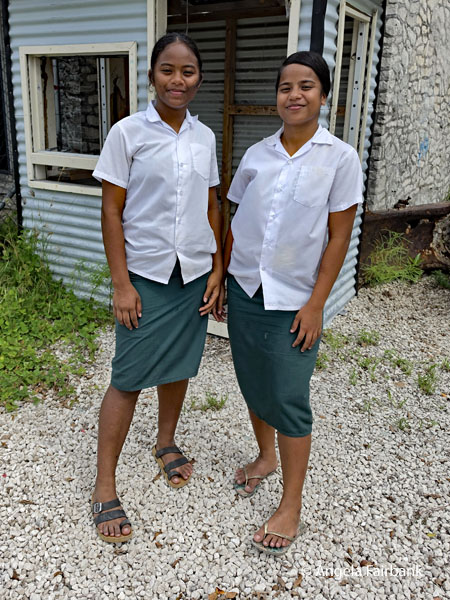 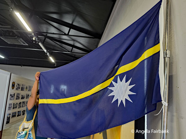 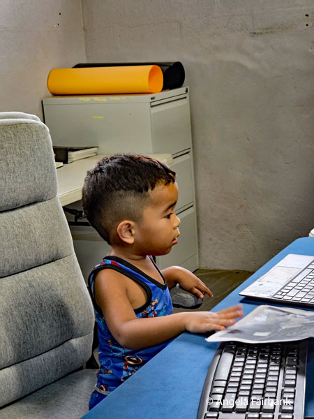 Having seen all I wanted to see, I left the museum in search of locals to photograph, such as these school children, and a handsome, young, bearded construction worker, who told me he was actually from the Solomon Islands. After leaving the museum, we took a more in-depth drive into the phosphate (from bird guano) fields, and drove past the prison, containing a total of 14 prisoners, abandoned, rotting cars, and the refugee detention camps where we were told not to take any photos. As we watched, a truck drove toward us, spraying what we were told was something to kill the mosquitoes straight into the open windows of the buildings (which were converted from shipping containers) where these asylum seekers were being detained. It seemed pretty inhumane treatment for people who were merely escaping their country due to conditions that were the same or worse ... but ahem! no politics. At the end of the day, we had a lovely dinner at the restaurant we had visited earlier to pre-order our meal.
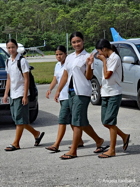 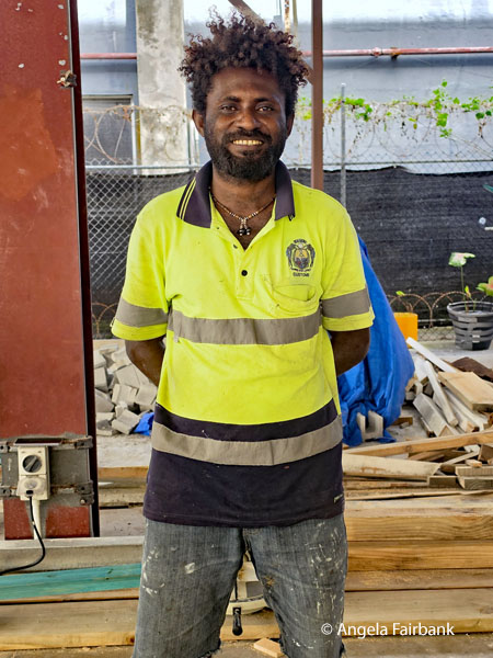 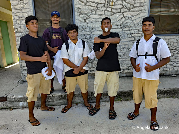 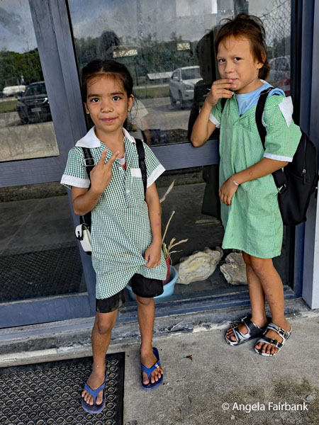   Thursday, July 23, 2026: Still in Nauru
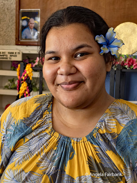
Today we tried once again to travel to Tarawa, the capital of Kiribati, but our flight was .... you guessed it ... cancelled or delayed yet again, so we basically had a free day to do what we wanted. After a visit to the local Dubai-run-with-international-staff clinic, which was very clean and tidy, to get a free eye exam and some free eye drops to treat my viral conjunctivitis, thanks to a Pakistani ophthalmologist - also the Clinic's Chief Medical Officer - called Dr. Prince to whom I had been introduced the evening before at the hotel by the restaurant chef, although for some reason I had misremembered his name as Dr. Raj. (One of my travelling companions, knowing I was a linguist, reminded me that the Sanskrit for prince was raj. Funny how the brain works, isn't it?) As we were leaving, medicine in hand, I was delighted to be given permission to take a photo of this little boy with an arm cast who so struck my photographic eye because the yellow of his helmet, the dark blue of his t-shirt, and the white of his arm cast were precisely the colours of the Nauru flag!. We continued our tour with hotel concierge/driver Florence and her colleague Chloe, by being driven to the very top of the island of Nauru for an overview of the main town and the port with its shipping containers. Some time during the journey, I asked what the average family size was in Nauru. As Florence hesitated to answer, I tried again and suggested that she tell me instead how many children the most populous family in Nauru had. The answer was that one couple currently has 24 children including three sets of twins! My only comment was that the mother must be very tired. This sent the women off giggling. We then passed by the Lagoon again for some better photos and had a chortle at a panorama I took, which distorted my travel companion as he moved away so that it looked as though he had a curious umbilical cord coming from his belly. It became a great object of mirth, even turning viral among his friends abroad. I have not included it here but instead have included a panoramic of the lagoon by itself. As it was now close to noon, we were taken back to our hotel so that we could all have lunch. 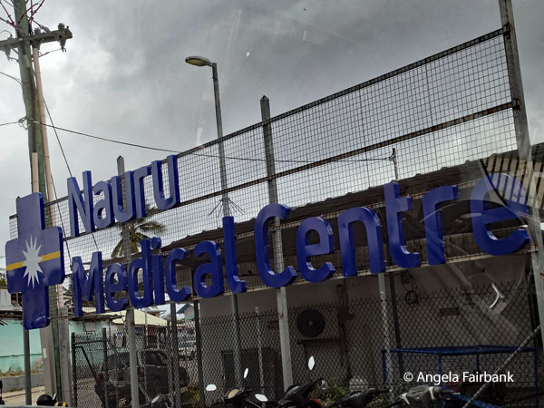 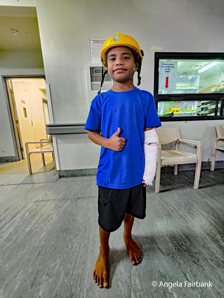 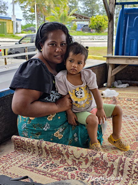 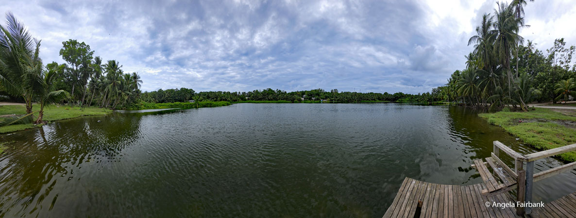 Seeing us return and discovering what we were doing, two more of our group decided to join us after lunch. This meant that another hotel colleague, Hephzibah, got to join us as well. After being introduced to her, I informed Hephzibah that the only other person with that name I was personally aware of was Yehudi Menuhin's piano-performing sister. The young woman was surprised, never having heard of her. One of our fellow travellers wanted to visit the Post Office so that is what we did next. Disappointed not to find any more fridge magnets or indeed t-shirts inside, I bought a postcard and enough loose stamps from a box that Delores, Nauru's young Post Mistress, seen here, offered us, and sent it to my eldest brother. I wonder how long it will take to arrive at his address. While we were at the Post Office, the hotel ladies we were travelling with went to buy orange-with-chocolate-chip ice-creams and came back to the van with a fourth young woman, to whom we were never introduced yet learned that she also worked with Florence, Chloe, and Hepzibah at the hotel. Curiously, this newcomer was wearing small, yellow and blue stickers on her face. We later worked out that these were to cover her acne.
 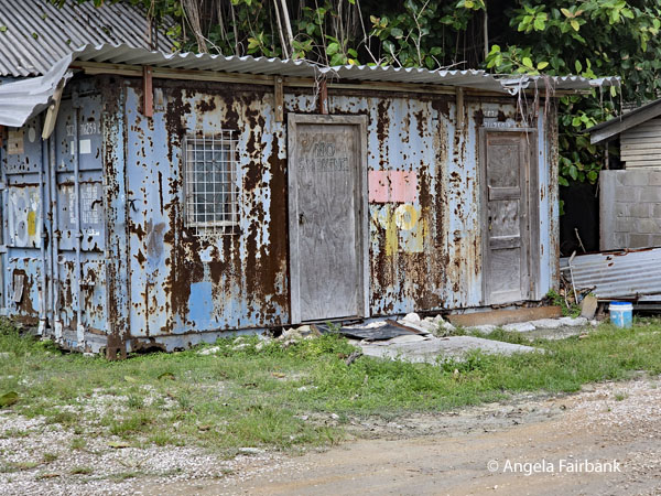  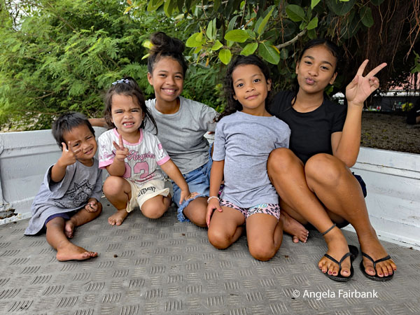 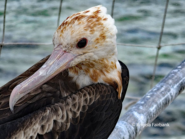 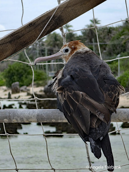 We were then driven to the site of the phosphate-loading operation once again before our requested stops at the Caca (sic) Store, which was a general hardware salespoint, and then to Angela's Station, a gas station. I never met my namesake but got a lovely photo of some children sitting in the back of a truck across the street from it. Our next stop at my request was to the man who kept and fed young frigate birds (Fregata minor), located down the street from our hotel. He had about six or eight of them in a large rope cage. When we asked him why, he said it was a tradition of his family. After the birds start growing their red pouch (which on a male frigatebird is a gular sac and during the breeding season, the male pumps air into this stretchy skin flap to inflate it like a giant red balloon, creating a striking visual display to attract females), he told us that he releases them and then catches new young birds. I Googled the phenomenon and was interested to find the following: “The great frigatebird (known locally as itti) is Nauru's national bird, holding profound cultural, spiritual, and historical significance. For centuries, catching and taming these majestic seabirds has been a unique traditional pastime and competitive sport on the island. These birds represent the Nauruan spirit, resilience, and mystical heritage and act as traditional land guardians and guides for fishermen. Catchers of these birds use an abio, a long string attached to a lead weight, which they swing and toss into the air to lasso a hovering bird by its wings. Captured birds are traditionally trained and fed fresh fish, sometimes kept on perches or special enclosures near the beach. Tamed frigatebirds are eventually released temporarily or used to lure wild frigatebirds back to the shore for the traditional sport.” As we left the birds, I saw these women scaling fish that had been caught and asked to photograph them too as well as this man on a parked motorcycle.
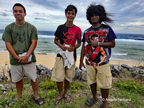
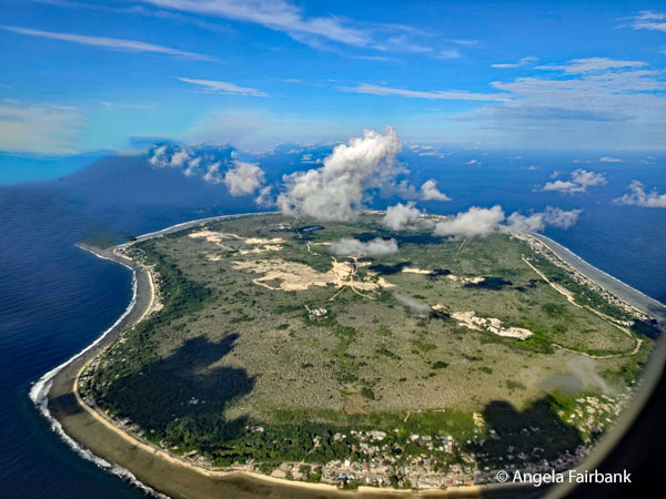
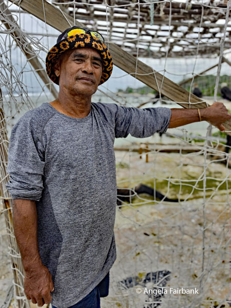 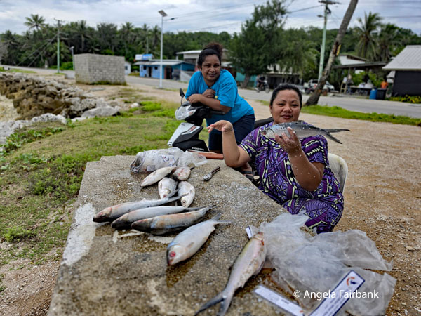 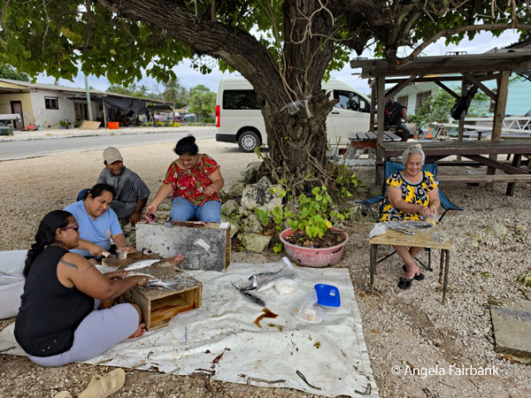 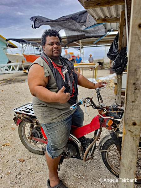 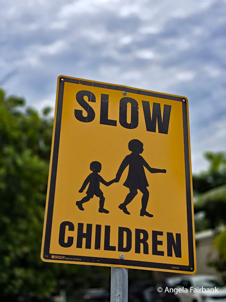 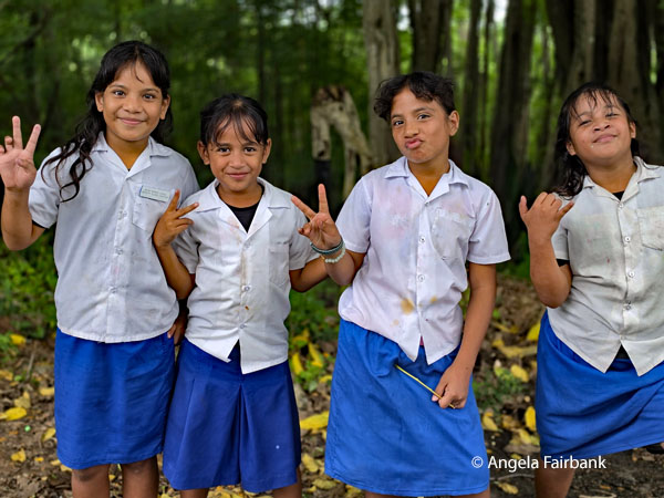 We were next taken to a different part of the island through the cross-island streets by some schools for elementary children hence the sign and the smiling faces of these girls, as well as an institution called the Able Disable Centre. Having heard there was a memorial in the shape of a rocket, which ended up being a commemoration of an 1887 missionary landing site, we drove round the island once again to find said memorial sitting on a beach, where we also found a sign that said Miss Pacific Islands, so we took some photos there. Then I convinced the entire vanload to take some group photos on this beach, which also displays this welcome sign in the local language. Just as we had driven by the airport for the third time that day, I saw this lad with amazing hair and asked to stop and photograph him with his two friends. Others of our group had decided to hire a boat and captain and go fishing this afternoon. They were successful in their quest by catching five fish, the largest of which was a tuna that the hotel kitchen cooked up for their dinner. The last photo in this series is that of the entire island of Nauru as seen from our plane as we flew away and onward to our next destination.
   But wait a second, I haven't yet told you the greatest story about this place. Following its independence in 1968, Nauru's control of its rich phosphate reserves made it the wealthiest nation per capita. Not used to having so much money yet wanting to live like the Europeans they saw on the island, Nauruans bought Ferraris, planes, yachts, and more. The downside of this was that they also became targets of widespread financial exploitation, predatory scams, and gross fund mismanagement. One of these scams in 1993 was Leonardo the Musical: A Portrait of Love, which was about da Vinci falling in love with Mona Lisa. One British consultant convinced them to invest in the show in London's West End and Nauruans were flown to London to see it. Unfortunately, the play was a flop, so all the money was lost. Nauruans are not used to saving, so all their money was soon gone. Today there is no sign of any wealth apart from the rotting cars, rotting buildings, and the remaining national airline carrier, Nauru Airlines, which, as you will gather, is not doing so well considering its frequently cancelled flights. So, I will reiterate what I said at the beginning, it's no wonder it is one of the least visited countries on earth as there is only one serving airline allowed to land on its runway! I shall say Tubat (thank you) nonetheless for the opportunity to visit this country and many of its friendly citizens.
Friday, July 24, 2026: Nauru to Tarawa, Kiribati (1.333° N 173.000° E) and then to Nadi and Suva, Fiji (18.1266° S, 178.4399° E)
Today we finally left Nauru for Tarawa, Kiribati, (the photo you see below is Kiribati from our plane) where we collected our luggage, received our passport entry and exit stamps, and then transferred immediately to our Air Fiji flight to Nadi, Fiji. Regretting our inability to visit this country properly, I will nonetheless provide you with its background geography and history in case you are interested. The Republic of Kiribati is an island country in the Micronesia sub-region of Oceania in the central Pacific Ocean. The state comprises 32 atolls and other islands and one remote raised coral island, Banaba. Its total land area is 811 km2 (313 sq mi) dispersed over 3,441,810 km2 (1,328,890 sq mi) of ocean. The spread of the country's islands, from Banaba in the west to Kiritimati (formerly Christmas Island) in the east, straddles the equator and the 180th meridian. The International Date Line goes around Kiribati and swings far to the east, almost reaching 150° W. This brings Kiribati's easternmost islands, the southern Line Islands south of Hawai'i, into the same day as the Gilbert Islands and places them in the most advanced time zone on Earth: UTC+14. The permanent population of Kiribati is just over 138,445 people in 2026 according to mid-year UN data projections, and more than half live on Tarawa. There is also a significant number of I-Kiribati forming a diaspora, the largest of which are still growing via emigration, is probably in New Zealand; historically, diasporic communities were created through over-population resettlement in the Solomon Islands on Ghizo and Wagina, and through intermarriage in the United Kingdom and United States. Another country with growing diasporic communities born of recent labour immigration is Australia. The Gilberts were politically autonomous of each other, more or less, and anywhere else, until annexed as a protectorate in 1892 by the British; they had no political connection then with the Phoenix or Line islands. This annexation was ended in 1979, when Kiribati gained its independence from the United Kingdom, becoming a sovereign state that year. The sovereign state included the Gilberts, the Phoenix and Line islands and Banaba. The capital, Tarawa, now the most populated area, consists of a number of islets, connected by a series of causeways. These comprise about half the area of Tarawa Atoll. Prior to its independence, the country exported phosphate, but the mine, on Banaba, is virtually exhausted and no longer viable. The descendants of the Banabans mostly live in exile on Rabi in Fiji but are represented in the Kiribati Parliament. Fisheries, subsistence agriculture, and the export of copra drive much of the economy, particularly on outer islands away from Tarawa. Kiribati is one of the least developed countries in the world and its government is highly dependent on fishing licence fees from foreign fleets and international capital aid to finance infrastructure and other projects. Many families rely on remittances from circular labour migrants (seafarers, agricultural workers, and urban service workers). They also work for the government or for private business and non-business organizations or run trade stores and small private cooperative-like businesses. The government now pays benefits to the unemployed on Tarawa and to the elderly. Kiribati is a member of the Pacific Community, Commonwealth of Nations, the International Monetary Fund, the World Bank, and the Organisation of African, Caribbean and Pacific States, and became a full member of the United Nations in 1999. As an atoll (and other low-lying island) nation, Kiribati is acutely vulnerable to sea-level rise and climate change. This is in addition to threats from tsunamis since time immemorial. Addressing climate change has been a central part of its international policy, as a member of the Alliance of Small Island States. In Kiribati, climate change and extreme weather events are predicted to become more frequent. Additionally, existing socio-economic and environmental pressures are intensifying. The people of Kiribati speak Gilbertese, an Oceanic language. English is the other official language but is not used very often outside the island capital of Tarawa. It is more likely that some English words are mixed in their use with Gilbertese. Older generations of I-Kiribati tend to use more complicated versions of the language. Several words in Gilbertese have been adopted from European settlers, for instance, kamea is one of the Gilbertese words for dog, kiri being the Oceanic one, which has its origins in the I-Kiribati people hearing the European settlers saying “come here” to their dogs, and adopting that as kamea. Many other loanwords have been adopted (like buun, spoon, moko, smoke, beeki, pig, batoro, bottle) but some typical Gilbertese words are quite common, even for Western objects (like wanikiba, plane - the flying canoe, rebwerebwe, motorbike - for the motor noise, kauniwae, shoes - cow for feet). Kiribati is the 4th least visited country on earth and one of the most geographically improbable. Its 33 atolls amount to just 800 square kilometres of land scattered across 3.5 million square kilometres of ocean, making it the only nation falling into all four hemispheres. It is also among the most threatened - rising seas may render much of it uninhabitable within this century, and the government has already purchased land in Fiji as a contingency. 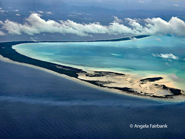 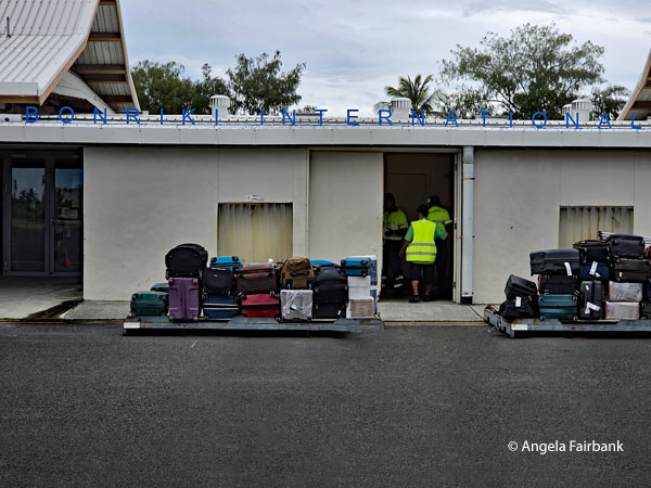 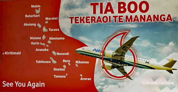 Saturday, July 25, 2026: Suva, Fiji to Tuvalu (7.1095° S, 177.6493° E) 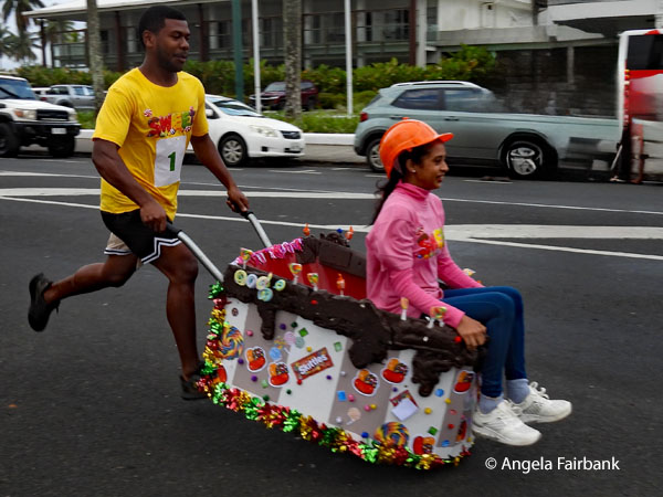 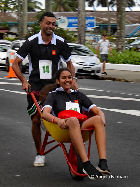 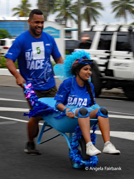 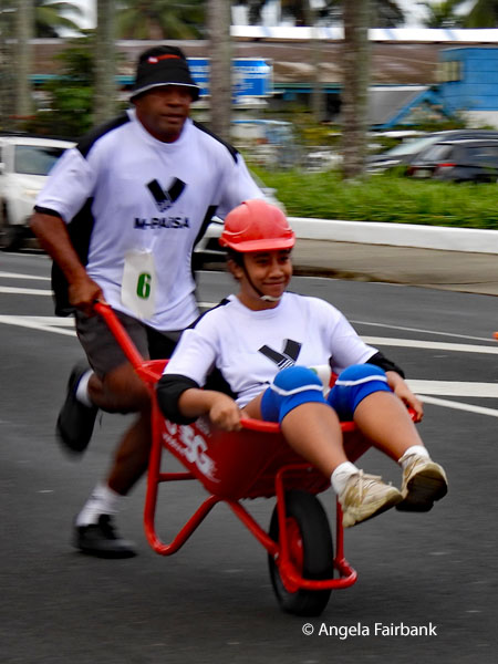 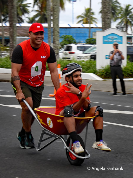 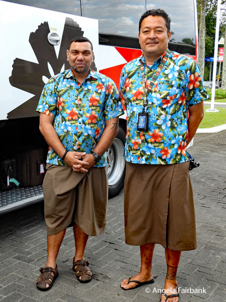 Checking out of our comfortable hotel in Suva - an IHG property so hopefully I was awarded some points for my stay - after an early breakfast, we watched the wheelbarrow races taking place on the street and park across from our accommodation property for a few minutes before getting on our bus to Suva airport for our flight to Tuvalu, which is an island country in the Polynesian sub-region of Oceania in the Pacific Ocean, about midway between Hawai'i and Australia. It lies east-northeast of the Santa Cruz Islands (which belong to the Solomon Islands), northeast of Vanuatu, southeast of Nauru, south of Kiribati, west of Tokelau, northwest of Samoa and Wallis and Futuna, and north of Fiji.
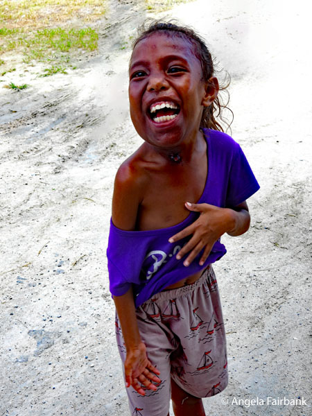
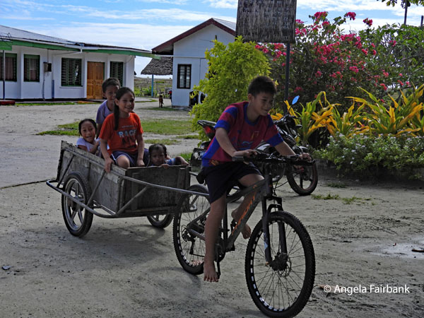
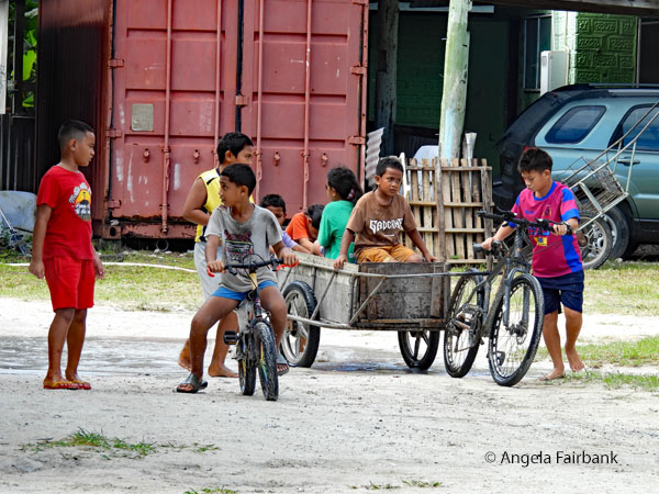
Tuvalu, the fourth-smallest country in the world by land area at 25.14 square kilometres (9.71 sq mi), is composed of three reef islands and six atolls spread out between the latitude of 5° and 10° south and between the longitude of 176° and 180°. They lie west of the International Date Line. The 2022 census determined that Tuvalu had a population of 10,643, making it the 194th most populous country, exceeding only Niue and the Vatican City in population. The first inhabitants of Tuvalu were Polynesians arriving as part of the migration of Polynesians into the Pacific that began about three thousand years ago. Long before European contact with the Pacific islands, Polynesians frequently voyaged using canoes between the islands. Polynesian navigation skills enabled them to make elaborately planned journeys in either double-hulled sailing canoes or outrigger canoes. Scholars believe that the Polynesians spread out from Samoa and Tonga into the Tuvaluan atolls, which then served as a stepping stone for further migration into the Polynesian outliers in Melanesia and Micronesia. In 1568, Spanish explorer and cartographer Álvaro de Mendaña became the first European known to sail through the archipelago, sighting the island of Nui during an expedition he was making in search of Terra Australis. The island of Funafuti, currently serving as the capital, was named Ellice's Island in 1819. Later, the whole group was named Ellice Islands by English hydrographer Alexander George Findlay. In the late 19th century, Great Britain claimed control over the Ellice Islands, designating them as within their sphere of influence. Between 9 and 16 October 1892, Captain Herbert Gibson of HMS Curacoa declared each of the Ellice Islands a British protectorate. Britain assigned a resident commissioner to administer the Ellice Islands as part of the British Western Pacific Territories (BWPT). From 1916 to 1975, they were managed as part of the Gilbert and Ellice Islands colony. A referendum was held in 1974 to determine whether the Gilbert Islands and Ellice Islands should each have their own administration. As a result, the Gilbert and Ellice Islands colony legally ceased to exist on 1 October 1975; on 1 January 1976, the old administration was officially separated, and two separate British colonies, Kiribati and Tuvalu, were formed. On 1 October 1978, Tuvalu became fully independent as a sovereign state within the Commonwealth and is a constitutional monarchy with Charles III as King of Tuvalu. On 5 September 2000, Tuvalu became the 189th member of the United Nations. The islands do not have a significant amount of soil, so the country relies heavily on imports and fishing for food. Licensing fishing permits to international companies, grants and aid projects, and remittances to their families from Tuvaluan seafarers who work on cargo ships are important parts of the economy. Because it is a low-lying island nation, Tuvalu is extremely vulnerable to sea level rise due to climate change. It is active in international climate negotiations as part of the Alliance of Small Island States. The Tuvaluan language and English are the national languages of Tuvalu. Tuvaluan is of the Ellicean group of Polynesian languages, distantly related to all other Polynesian languages such as Hawaiian, Māori, Tahitian, Rapa Nui, Samoan, and Tongan. It is most closely related to the languages spoken on the Polynesian outliers in Micronesia and northern and central Melanesia. The Tuvaluan language has borrowed from the Samoan language, as a consequence of Christian missionaries in the late 19th and early 20th centuries being predominantly Samoan. The Tuvaluan language is spoken by virtually everyone, while a Micronesian language very similar to Gilbertese is spoken on Nui. English is also an official language but is not spoken in daily use. Parliament and official functions are conducted in the Tuvaluan language. There are about 13,000 Tuvaluan speakers worldwide. Radio Tuvalu transmits Tuvaluan-language programming. Extremely inaccessible and far off the traveller's path, this tiny nation is one of the least visited countries in the world because on average fewer than 2,500 visitors make it here each year (and just a small percentage of those are real tourists). It has often been said that if you want to disappear for a while, head to Tuvalu! Many believe time is running out for Tuvalu due to rising sea levels threatening its low-lying atolls. The urgency of this threat has led to an unprecedented response: Australia has created a special climate migration treaty allowing up to 280 Tuvaluans to relocate permanently to Australia each year. This represents the world's first planned migration of an entire nation due to climate change. More than a third of Tuvalu's population has already applied for these climate visas, highlighting the very real fear that their homeland may soon become uninhabitable. Funafuti is Tuvalu's capital and the location of its international airport, called Right Hon Sir Toaripi Lauti Airport. Approximately 4,000 people make up the entire population here, and life is easy going and laid back. Although Tuvalu literally means 'cluster of eight,' there are actually nine islands in the nation (six true atolls and three reef islands). Greeting us with the word Talofa (Welcome), we were met by our handsome, sunglass-and flower-head-dress-wearing guide, called Ta'afaki, and a woman accompanying him who laid a fou (or fau?), a traditional flower headdress or crown, made with fragrant tropical blossoms like tiale (Gardenia taitensis), pua (Fagraea berteroana), and melia or frangipani (Plumeria rubra) on each of our heads. These are commonly worn during cultural dances and celebrations like the fatele, performed at community celebrations, weddings, and to honour visiting leaders. As the welcoming dance group wasn't yet ready, we had time to check into our hotel across the street from the airport and be assigned very elegant (for Tuvalu) bungalows. As one of our group had stayed behind in Fiji to recover from a migraine, I believe, my roommate and I were lucky to get a semi-detached bungalow each! This pandanus weaving with the word Tuvalu was hanging on the wall above my bed! We then headed over to the local Community Hall (Falekaupule) also beside the hotel to watch a traditional dance and enjoy a few nibbles. Here the female dancers were wearing traditional layered skirts (titi) made of coconut or pulaka leaves together with shell or shiny accessories (lakei) and garlands as they seated or stood and swayed their arms as other females and males sung and the latter beat on a wooden box drum (pokisi). I learned later that when these are performed for locals, the spectators often show appreciation by spraying perfume on the dancers rather than giving them money. I was perplexed by this boy with the long hair, and at that point was unaware of the hair-cutting tradition. 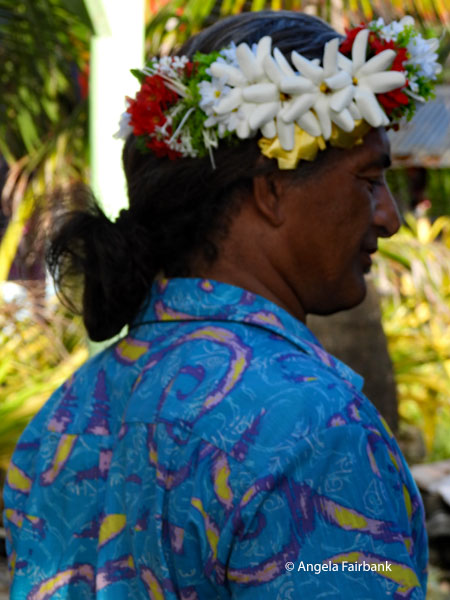 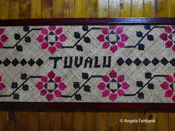 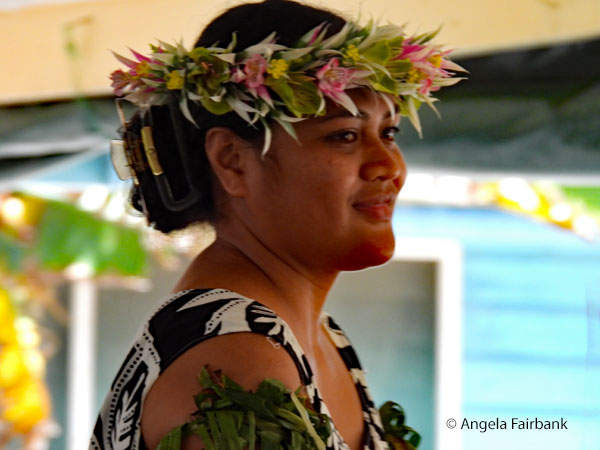 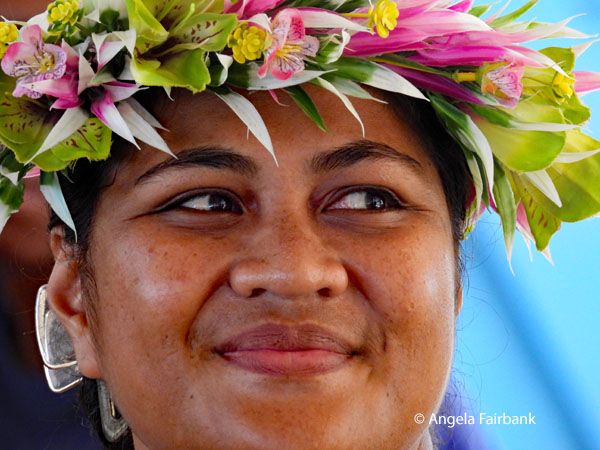 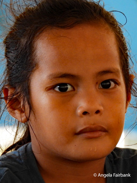 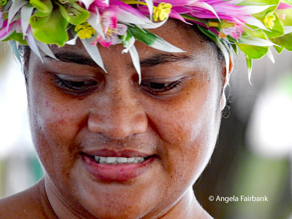 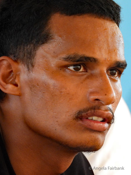 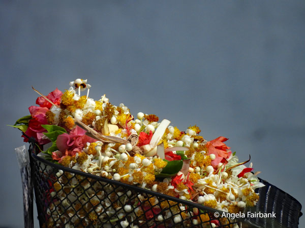 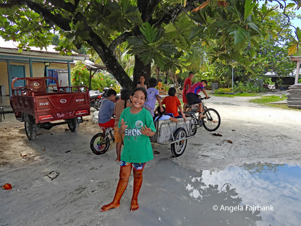 After drinking coconut water through a straw from a coconut and eating fruit and sandwiches, our next event was to take a tour of the atoll of Funafuti from one end to the other. In fact, the entire atoll is officially the capital, while the administrative centre and village where the government offices are located is Vaiaku, on the islet of Fongafale. These government buildings were pointed out to us as we were driven by a young man called Kobano in one of the island's two old, school busses donated by Taiwan, whose seats were in a terrible state: torn fabric and exposed foam cushioning. It was a wonder the engine was still working. Clearly the Taiwanese government should be made aware that it is perhaps time to donate new ones. I was really only worried about insects while the open windows supplied natural air conditioning. We stopped at a church and a monument of some kind, but as usual I was more interested in photographing these children at play. One boy was riding a bicycle attached to a cart on wheels, in which other children were sitting. They seemed quite curious about us because, as mentioned previously, tourists are not all that common here. We passed by Princess Margaret Hospital, vans in front of which had UNICEF stickers on their doors in addition to Ministry of Heath (sic) placards. Next we passed a rather run down building with a sign saying Judiciary and stating its Missionary Statement: “To provide an independent accessible and efficient forum for the just resolution of disputes in order to preserve the law and to protect all rights and liberties guaranteed by the Constitution of Tuvalu.”
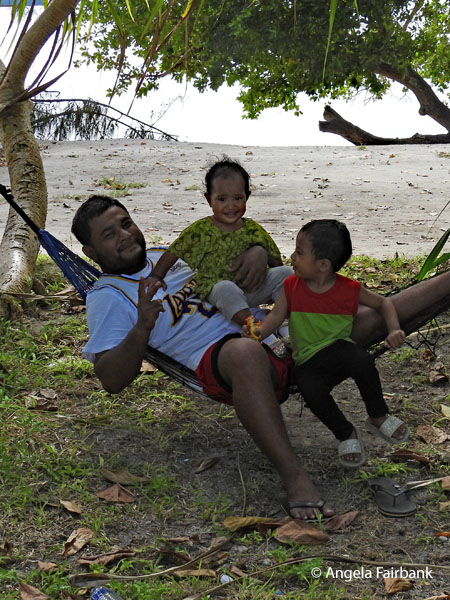
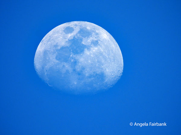
    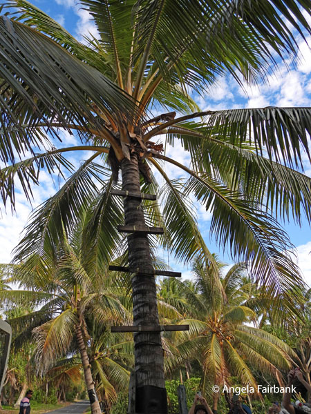 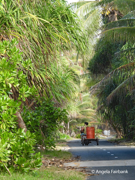 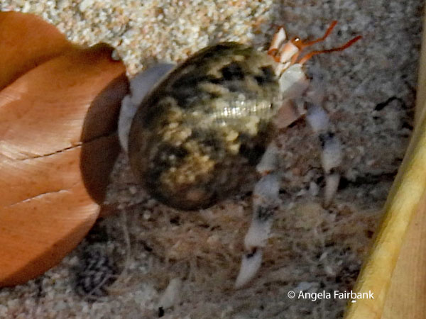 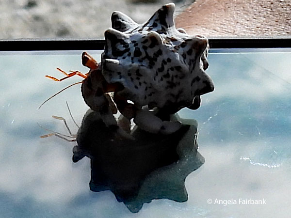 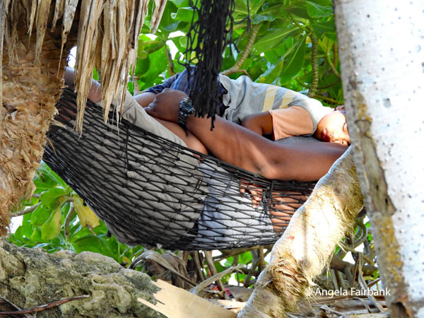 Once we had left the town per se we were driving on a main road with beach to either side, where one side was the lagoon and the other was the sea. We stopped at one house to view a couple of palm trees that had wooden beams tied on to the trunk at intervals enabling one to climb up and check on what we were told was toddy, a sweet, nutrient-rich sap tapped from the unopened flower spathe of a coconut palm tree. Known locally as kaleve, it is a fundamental part of daily island life, culture, and subsistence. Tapped twice a day (morning and evening) by local harvesters, it is translucent, very sweet, and consumed either as a refreshing beverage or used as a natural sweetener in cooking. If the fresh sap is left to ferment over time, especially in the outer islands, it turns into an alcoholic drink known as kao. Harvesting toddy (cutting toddy) is a traditional skill typically performed by the men of the household, while the sale and production of toddy products provide a significant portion of annual income for subsistence-farming households in Tuvalu. Arriving at the end of the atoll, we got out and walked to a beach where I chased this hermit crab, watched children swimming in the water, and spied this man and his son napping in a hammock. We got out again on our way back to form a line of our group stretched across the narrowest part of the atoll (10 meters or 33 feet) and shouted Talofa to all the people driving by on motorcycles, the preferred mode of transportation here. During one lull, I photographed the moon just as I had done in Vanuatu.
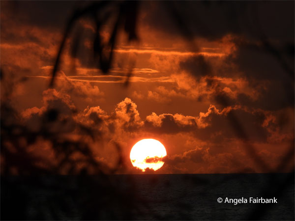
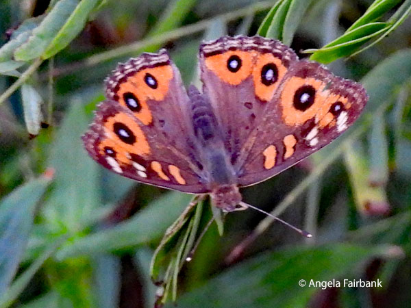
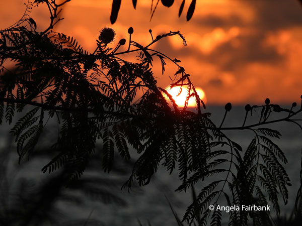
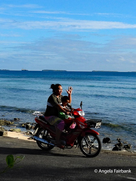  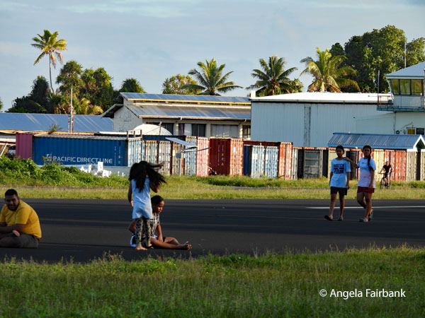 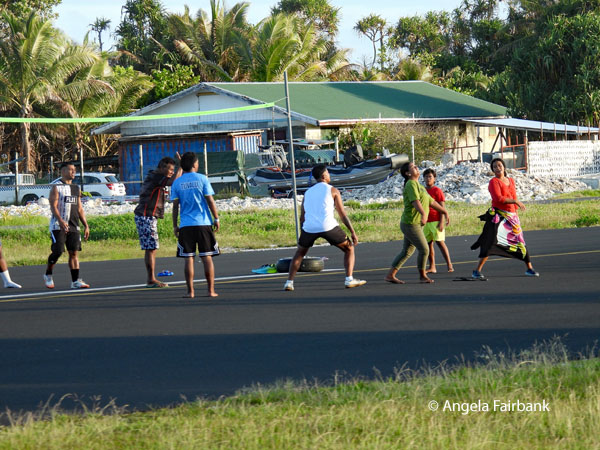 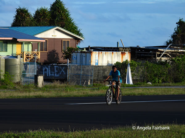 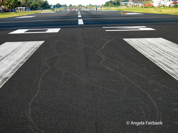 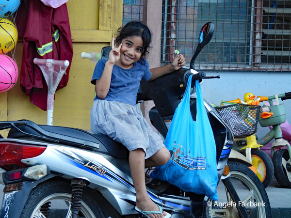 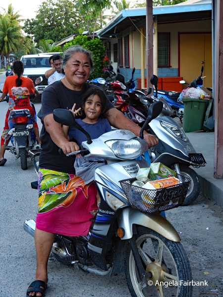  On our return into town, we drove along the side of the airport runway, the best kept area of Tuvalu, enjoying seeing locals walking and bicycling or playing volleyball on it, or just sitting on it. Arriving at its end, we were also able to photograph its entire length. A select few of us then extended this drive to find a store or two, photograph a few more locals, and view the fish market. We arrived back at our hotel in time to watch the sun set and I managed to photograph this Meadow Argus (Junonia villida) butterfly. The last image in this set is the hotel barman.
    Sunday, July 26, 2026: Mother's Day, Tuvalu
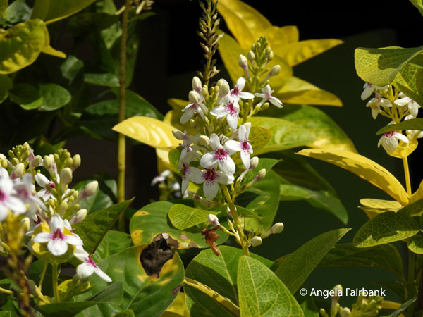
After a breakfast of instant coffee and white toast with peanut butter, we walked over to the local Congregational Christian Church of Tuvalu (in Tuvaluan Te Ekalesia Kelisiano Tuvalu, or EKT), the official Church of Tuvalu of Protestant Christian denomination and the largest religious body in Tuvalu, representing about 86% of the country's population. It was founded when a Cook Islands deacon named Elekana drifted to Nukulaelae atoll during a storm and introduced Christianity. After watching the last peals of the church bell being rung, we advanced to the building where we women were greeted with garlands of Chinese candies hung around our necks in celebration of the local Mother's Day. I was fascinated to find that the women sat on the the right-hand side of the pews and the men on the left. There were probably double the amount of women as men, and the majority of women were wearing white dresses and flowers in their hair. The children, also smartly dressed, were sitting well-behaved in their own section. The men were asked to remove their shoes, the women and children, not. A laywoman began with prayers and then the congregation sang a couple of lovely hymns in harmony, one of which I remembered to record. And then the male minister wearing a dog collar came up to the altar and the service began for real. It was all in the local language, so I did not understand a word, except for the repeated Talofa (welcome), Fakafetai or more colloquially Fafetai (thank you), and Tofa (goodbye). I did glance through a paper pamphlet, which I later translated as Family Prayer Book, all in Tuvaluan but quoting passages from the New Testament. We left the service after about 30 minutes or so, although it seemed likely to go on a lot longer, and as I walked back to our hotel, I took a few photos on the way, such as this flower called Carruthers' falseface (Pseuderanthemum carruthersii) and a pair of blue-billed white terns or fairy terns (Gygis candida).    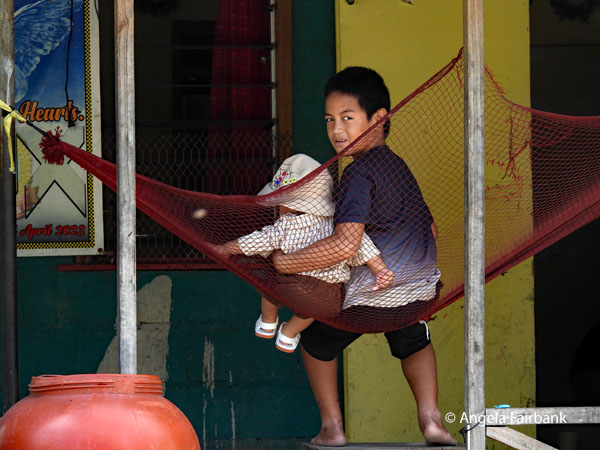 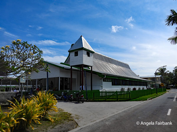 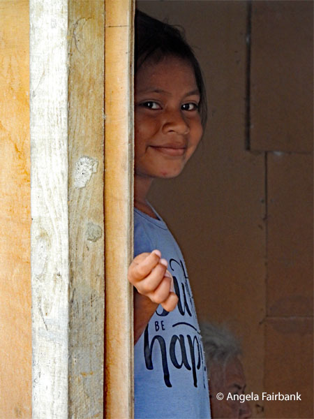 Lunch on the beach on an outlying island was on the programme, however, like many planned events here, things were changed, and that particular lunch became dinner because the hotel invited us to a special Mother's Day meal, to which local mothers had brought several dishes for everyone to share, including roast pig. Between church and lunch, I sat in my cabin under the air-conditioning and edited my photos from the last few days. The rest of the group left 2ish for the islet called Funafala, supposedly the second most popular islet of the atoll, and then had to eat again at about 4ish since the locals on the outlying island had prepared a feast for them featuring large, campfire-cooked coconut crabs and other seafood. Swimming was also enjoyed although the youngest of our group was attacked by a Portuguese Man O' War. The quick-thinking tour guide and one of the islanders grabbed some noni ( Morinda citrifolia) leaves, tossed them over the fire to release the oils, and then laid them on her back and under her arms where the sea creature had grabbed her and left red welts. This seems to have done the trick because the young woman in question has not suffered any long-lasting consequences ever since.
 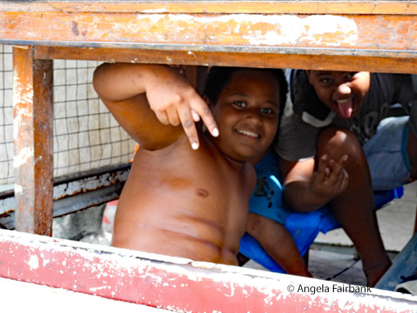 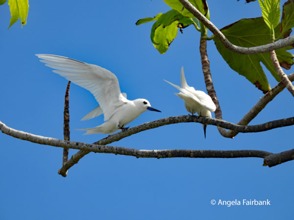 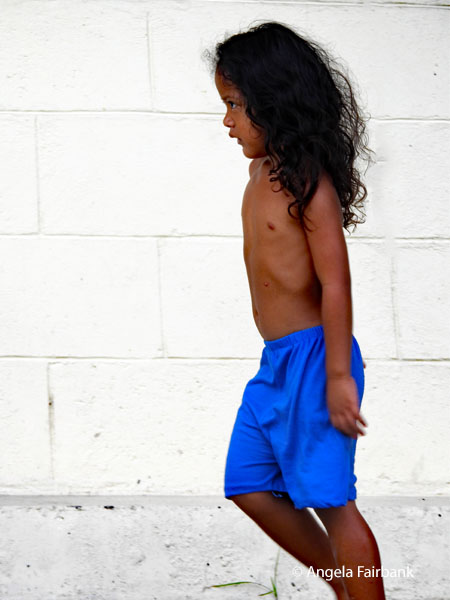 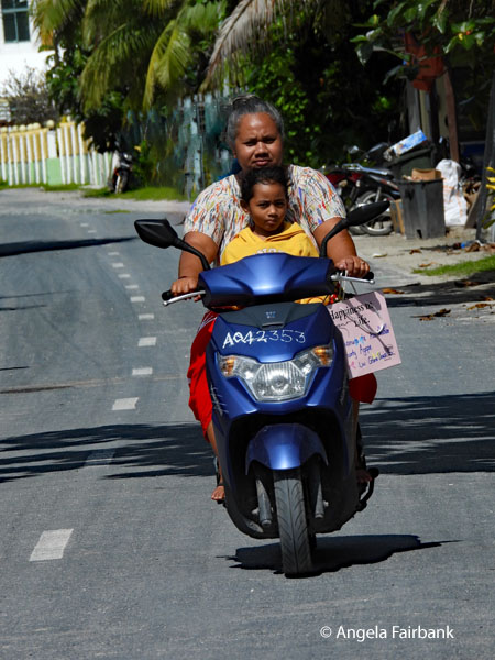 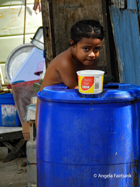 Since I had opted out of this beach feast, I was able to order my dinner of grilled prawns and potato salad at a more reasonable time at the hotel restaurant after working the rest of the day on my photos.
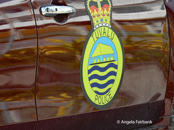 Monday, July 27, 2026: Tuvalu to Auckland, New Zealand (36.8492° S 174.7653° E) via Nadi, Fiji
Since we had a few hours before our flights today, after a breakfast that included fried eggs as a special favour to us, some of us walked to the post office, where we had the chance to buy postcards and stamps, or, in my case, a Tuvalu t-shirt. I also admired a large plastic dragonfly (these insects having escaped my camera the entire trip so far) and the post office lady said I could have it for free, even though I offered to pay for it ... twice. After returning to the hotel and then checking our large luggage into the flight, we still had some down time, so three of us accepted the offer to be interviewed by the local radio station, as you will see here. The men flanking me are both from the USA, one from California and the other from Washington DC. We were asked if we had enjoyed Tuvalu, what our particular highlights had been, and if we would recommend our family and friends to visit. Of course, we said we would. At the appropriate time, we went through security and immigration and waited for our Fiji Airways plane to take us to Nadi, where we then spent some time in the business lounge before taking a second plane to Auckland, New Zealand. Both flights were about two hours each. We arrived in Auckland late at night and after collecting our luggage, walked across the street to the Novotel Hotel, and went straight to sleep after checking into our rooms as we have another early flight tomorrow. 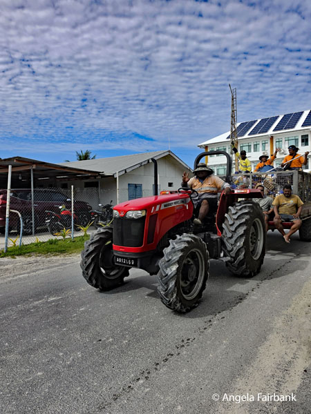 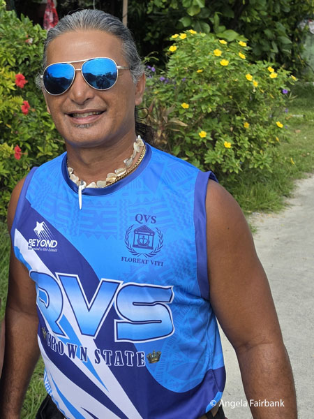 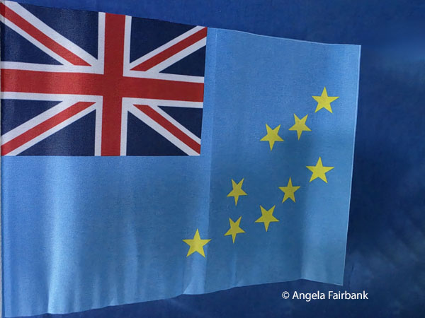 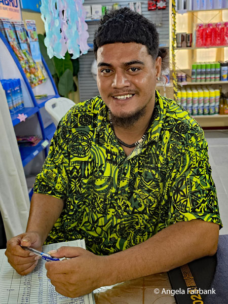 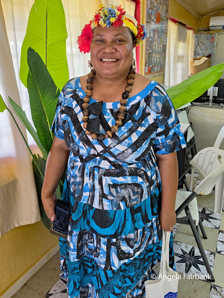 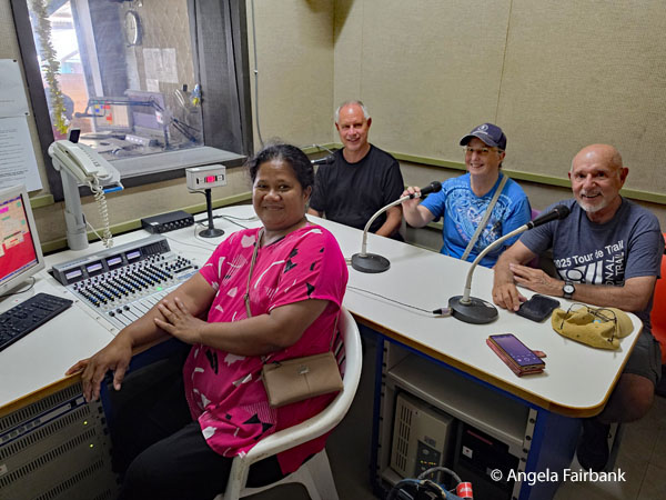 New Zealand is an island country in the southwestern Pacific Ocean. It consists of two main landmasses - the North Island (Te Ika-a-Māui) and the South Island (Te Waipounamu) - and over 600 smaller islands. It is the sixth-largest island country by area and lies east of Australia across the Tasman Sea and south of the islands of New Caledonia, Fiji, and Tonga. The country's varied topography and sharp mountain peaks, including the Southern Alps (Kā Tiritiri o te Moana) are due to tectonic uplift and volcanic eruptions. New Zealand's capital city is Wellington but its most populous city is Auckland.
The islands of New Zealand were the last large habitable land to be settled by humans. Between about 1280 and 1350, Polynesians began to settle in the islands and subsequently developed a distinctive Māori culture. In 1642, the Dutch explorer Abel Tasman became the first European to sight and record New Zealand. In 1769, the British explorer Captain James Cook became the first European to set foot on and map New Zealand. In 1840, representatives of the United Kingdom and Māori chiefs signed the Treaty of Waitangi, which paved the way for Britain's declaration of sovereignty later that year and the establishment of the Crown Colony of New Zealand in 1841. Subsequently, a series of conflicts between the colonial government and Māori tribes resulted in the alienation and confiscation of large amounts of Māori land. New Zealand became a dominion in 1907 and gained full statutory independence in 1947, retaining the British monarch as head of state. Today, the majority of New Zealand's population of around 5.3 million is of European descent; the indigenous Māori are the largest minority, followed by Asians and Pasifika. Reflecting this, New Zealand's culture mainly derives from Māori and early British settlers but has recently broadened from increased immigration. The official languages are English, Māori, and New Zealand Sign Language, with the local dialect of English being dominant. A developed country, New Zealand was the first to introduce a minimum wage and to give women the right to vote. It ranks very highly in international measures of quality of life and human rights and has one of the lowest levels of perceived corruption in the world. It retains visible levels of inequality, including structural disparities between its Māori and European populations. During the 1980s, New Zealand underwent major economic changes that transformed it from a protectionist to a liberalized free-trade economy. The service sector dominates the country's economy, followed by the industrial sector, and agriculture, while international tourism is also a significant source of revenue. New Zealand and Australia have a strong relationship and are considered to share a strong Trans-Tasman identity, stemming from centuries of British colonization. The country is part of multiple international organizations and forums. Nationally, legislative authority is vested in an elected, unicameral Parliament, while executive political power is exercised by the Government, led by the prime minister. King Charles III is the country's monarch and is represented by the governor-general. New Zealand is organized into 11 regional councils and 67 territorial authorities for local government purposes. The Realm of New Zealand also includes Tokelau (a dependent territory); the Cook Islands and Niue (self-governing states in free association with New Zealand); and the Ross Dependency, which is New Zealand's territorial claim in Antarctica. I was last in Auckland on December 3, 2015 during another Princess cruise, although I seem not to have recorded which ship. It was probably either the Sun Princess or the Sea Princess. Tuesday, July 28, 2026: Auckland, New Zealand to Niue (19.0544° S, 169.8672° W), originally known as Savage Island, where it is Monday, July 27, 2026 again Niue (pronounce new way) is a self-governing island country in free association with New Zealand. A large coral atoll located in the South Pacific Ocean, it is part of Polynesia and predominantly inhabited by Polynesians. As one of the world's largest coral islands, Niue is nicknamed 'The Rock' [no relation to the actor and professional wrestler Dwayne 'The Rock' Johnson, whose mother is of Samoan heritage incidentally], which comes from the traditional name Rock of Polynesia. Niue's position is inside a triangle drawn between Tonga, Samoa, and the Cook Islands. It is 2,400 kilometres (1,500 mi) northeast of New Zealand, and 604 kilometres (375 mi) northeast of Tonga. Niue's land area is about 261.46 square kilometres (100.95 mi2) and its population for 2026 is recorded as 1,822. The terrain of the island has two noticeable levels. The higher level is made up of a limestone cliff running along the coast, with a plateau in the centre of the island reaching approximately 60 metres (200 ft) above sea level, while the lower level is a coastal terrace approximately 0.5 km (0.3 miles) wide and about 25-27 metres (80-90 feet) high, which slopes down and meets the sea in small cliffs. A coral reef surrounding the island has its only major break in the central western coast, close to the capital, Alofi. Niue is subdivided into 14 villages (municipalities), and each village has a council that elects its chairperson. These are also electoral districts, and each sends an assemblyperson to the Niue Assembly (parliament). Since Niue is part of the Realm of New Zealand, most diplomatic relations on behalf of Niue are conducted by New Zealand. Niueans are citizens of New Zealand, and King Charles III is Niue's head of state in his capacity as King of New Zealand. Niue is a parliamentary democracy; legislative elections are held every three years. Niue is not a member of the United Nations (UN); however, UN organizations accept its status as a freely associated state, equivalent to an independent state for the purposes of international law. As such, Niue is a member of some UN specialized agencies (such as UNESCO and the WHO), and is invited, along with the other non-UN member state, the Cook Islands, to attend United Nations conferences open to all states. Niue has been a member of the Pacific Community since 1980. Between 90% and 95% of Niuean people live in New Zealand, along with about 70% of the speakers of the Niuean language. The official languages of Niue are English and Niuean, a Polynesian language related to Tongan and Samoan. Niue is a bilingual country: 30% of the population speaks both Niuean and English; 11% speaks only English; and 46% speaks only Niuean. As of 2022, 1,014 (69.7 percent) of residents reported proficiency in speaking Niuean. The number of residents who speak Niuean has been in decline since 2006. Originally settled by Polynesians from Samoa around 900 AD, with later Tongan arrivals in the 16th century, Niue became a British Protectorate before New Zealand assumed responsibility in 1901. The island achieved self-rule in 1974 while maintaining New Zealand citizenship. Agriculture drives both lifestyle and economy, with most families growing taro, tapioca, yams, and bananas. Vanilla and taro have become the main export crops, replacing the copra and passionfruit that dominated in the 1970s. During our three-and-a-half-hour flight on Air New Zealand, which left at 8:25 a.m., meaning we had to check out of our airport hotel by 5ish, we crossed the Date Line once again and went back one calendar day, or more exactly 23 hours, arriving just after noon the day before. We were picked up in a van by one of the owners of the hotel, who greeted us with Fakaalofa Lahi Atu and were driven to our accommodation, a comfortable resort overlooking the cliffs. Although it is winter in New Zealand and consequently also winter in Niue, the weather was comfortable enough to sit outside on our ground floor patio, admire the view, listen to the pounding surf, and feel a slight ocean breeze. The only thing missing were birds - apart from a few feral chickens clucking about on the lawns. Getting used to all the semi luxury was hard after Tuvalu but luckily I was able to adapt. We spent the rest of the Monuina E Aho (Blessed Day) at the resort soaking up the atmosphere and enjoying dinner at the hotel restaurant. 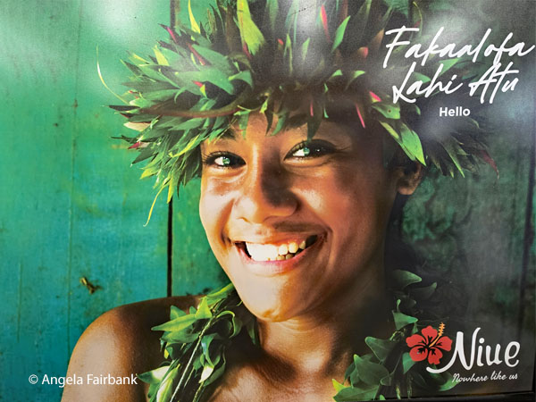  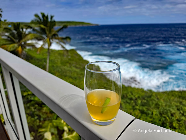 Tuesday, July 28, 2026: Niue
I actually opted out of today's hiking-in-nature excursion on the East Coast of Niue for a couple of reasons. One was to give my body a further day of rest in this peaceful environment as I relaxed on my patio with the crashing of waves in my ears and fresh air that wasn't muggy for once in my lungs. Another was because, as usual, I wanted to catch up on my travelogue, which had been neglected over the past few days of traveling. Thirdly, I wanted to take part in a couple of cultural events offered at the hotel. This morning after doing some work at my laptop on my patio, I joined a couple of elderly ladies from the local Hakapu Women's Weaving Council, accompanied by whom I guess was a granddaughter of one of them, to learn how to weave a small coaster using dried Pandanus leaves. To compensate them for handing down their skills to me, I bought a woven pandanus hat, which I had the girl wear briefly as she posed for my photo of her. I also thanked them by saying Fakaaue lahi, a phrase I would use often over the next few days. In the afternoon, I learned a local dance called Koli where we were taught to Ue Ue Mai (move our hips) from a rather breathless young woman. By breathless, I mean she got overheated after each of about five dances and had to take a break to get her breath back. She was joined by her three sisters (I regret not taking a photo of them) and three guests: myself, one of the other passengers on our tour, and a Kiwi woman. Dinner tonight was at a local restaurant that specialized in chicken. 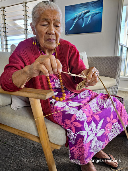 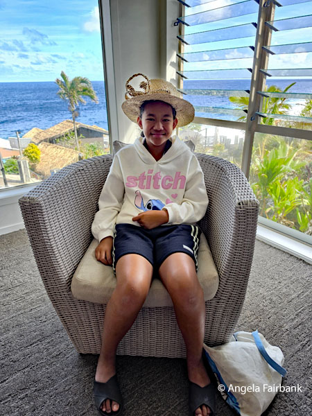 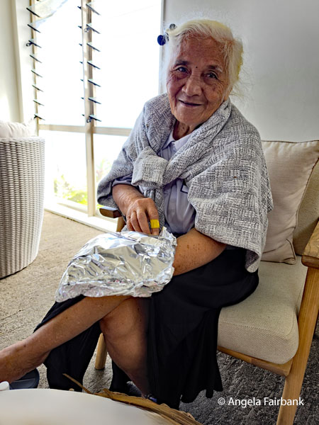 Wednesday, July 29, 2026: Niue
I joined the excursion today with our guide, Vanessa, and her younger sister, Michelle, who drove us in a large van. Our first visit was to a shopping centre, which had a large statue of a coconut crab (Birgus latro, a terrestrial species of the giant hermit crab, also known as the robber crab or palm thief, and the largest living terrestrial arthropod, with a weight up to 4.1 kg (9 lb). The distance from the tip of one leg to the tip of another can be as much as 1 m (3 ft 3 in). Its scientific name comes from its notorious habit of stealing food and carrying away shiny objects. I visited a store here called K Mark where I was able to procure both a t-shirt and a fridge magnet. 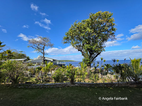 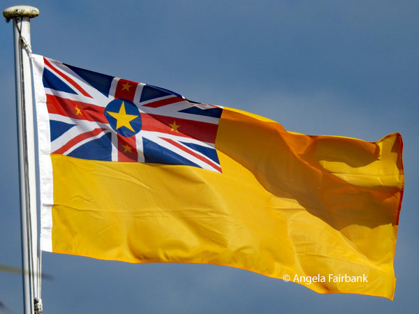 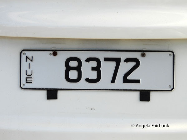 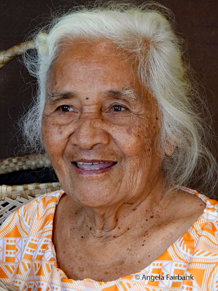 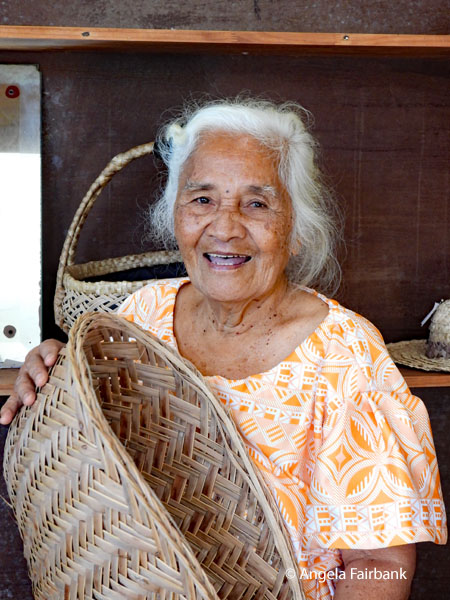 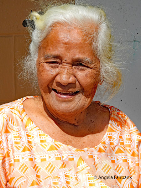 Next, we stopped at Niue's Hakupu Women's Weaving Council, where I met once again the woman who had sold me the pandanus hat yesterday and photographed a few large round mats. Outside, we met a middle-aged woman called Evelyn, who had the most amazing hair wound around her head. She said she had been growing it for 20 years. (I have been growing mine for far longer, but it has never reached that length!) We asked her if she would unravel it for us so we could see just how long it was and it was longer than she was high as you can see here!
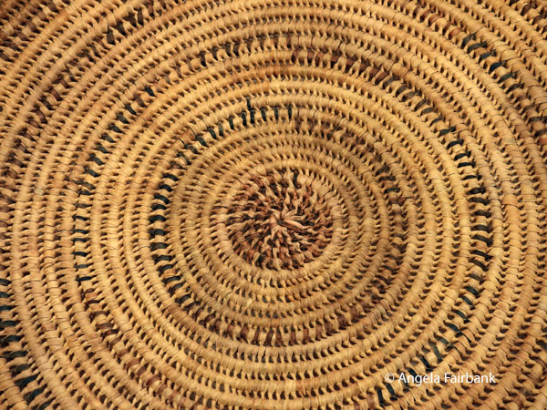 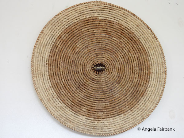 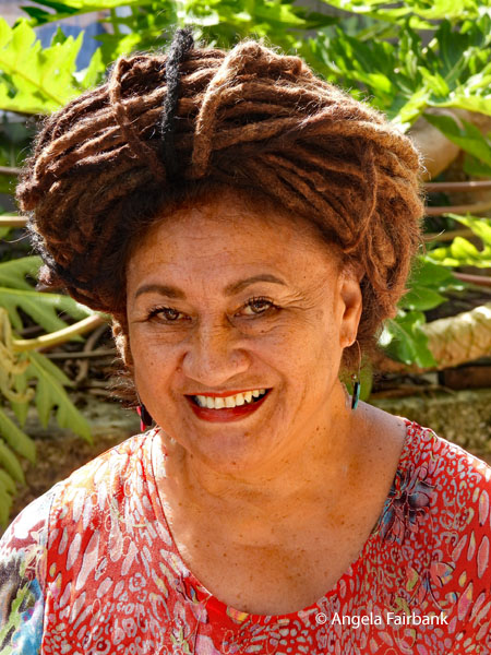 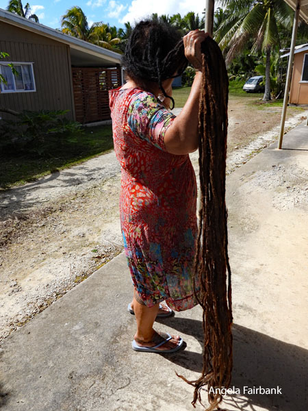 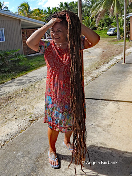 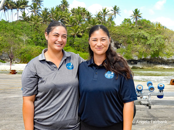 We subsequently visited the port, where we saw a few breeding and breaching but not calving Endangered Oceania Humpback whales (Megaptera novaeangliae), which before the Moratorium in the 1960s were hunted to less than 100 (perhaps 50) of their population, and which travel annually 16,000 to 18,000 km., as well as resident spinner dolphins (Stenella longirostris). Our next stop was Matapa Chasm, reputed to be the exclusive bathing pool of Niuean royalty in times gone by, with its turquoise water and, curiously, a small cat. While some of our group swam there, albeit briefly, I returned to the top of the hill, determined to finally photograph a dragonfly in flight as the dozens I had seen over my trip frustratingly never landed anywhere long enough. I believe the one I finally got into focus is a Wandering Percher (Diplacodes bipunctata). There was also a lookout here and a local grave painted white and covered in flower headbands, fou fou in Niuean.
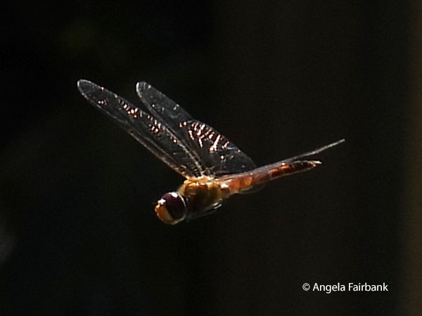 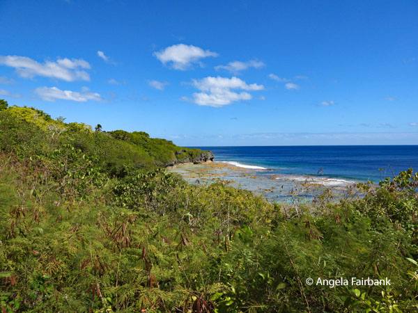 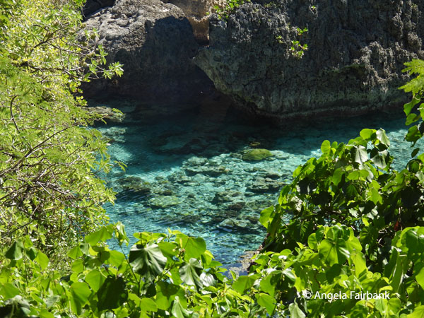 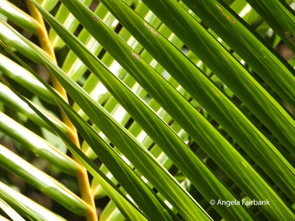 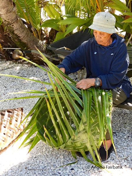 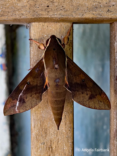 We stopped for lunch of delicious sandwiches and fruit on the road over a bridge, which looked like it had once been a zipline or bungy-jump site and saw almost no traffic come by. I then descended into Palaha cave at a place called Tuapa with the others but as I was told it was another swimming site, I climbed back out and decided to photograph plants and insects along the road instead. I heard women talking and laughing and was curious and approached. I was invited to come into the yard and was surprised to see our guide Vanessa talking to the house owner, who was in the midst of weaving a fresh coconut palm basket. I admired the latter's garden, which was full of flowers, and was invited to see her back garden with its fruit trees and her house. Going to the back garden, I met her brother. The sister had lived many years in New Zealand but had come back to her family home in Niue for her retirement and to look after her brother. It was here on a bench located on their front porch where I saw this Maroa hawkmoth (Macroglossum hirundo). The brother told me it had been sitting in that position for days and believed it had settled there to die.
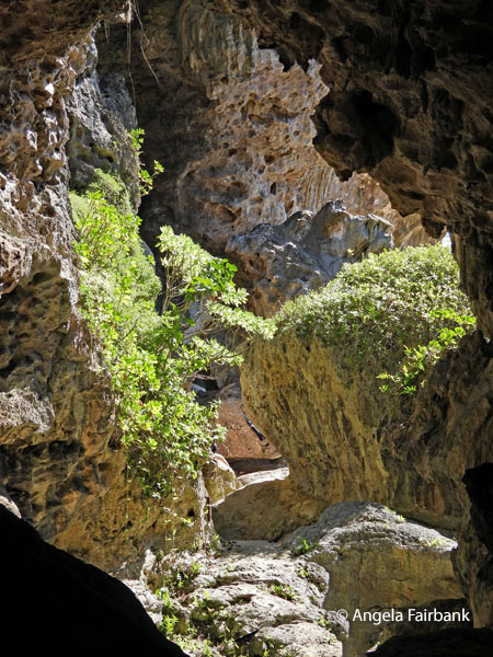 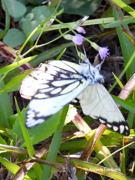 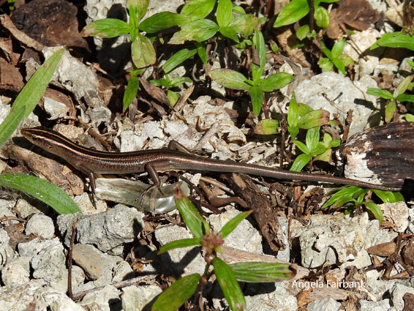 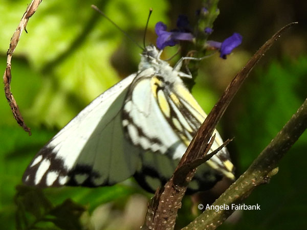 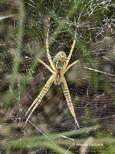 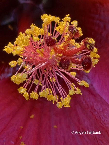 Our final visit was to Avaiki Cave. The placard says that Avaiki is a derivative of Havaiki or Hawaiki, the ancestral home of Polynesians, and oral tradition says that the first canoe bringing Polynesian settlers to the island landed here. I photographed another skink and a Green Orchard Orb-weaver (Leucauge venusta) spider as well as this Caper White (Belenois java peristhene) butterfly. We were shown a view of our hotel around the coast before our return where I photographed this lovely Philippine ground orchid (Spathoglottis plicata) in the hotel grounds. At happy hour, we were invited to one of the hotel's two swimming pools for a presentation of the Coconut crab by a local called Jack. Thought to be about 15 years old, it was large and orange in colour. Dinner was at a delicious sushi-and-pizza-fusion restaurant, a great place to kai (eat) and inu drink, after which Vanessa tried to show us the stars, because “Niue is the world's first entire country to achieve formal accreditation as a Dark Sky Nation, Sanctuary, and Community, which due to its island-wide modified lighting and geographic isolation offers pristine, naked-eye views of the Milky Way, the Magellanic Clouds, and bright constellations.” Unfortunately, the sky was covered with clouds, but we were able to locate Venus using an app called Sky Map.
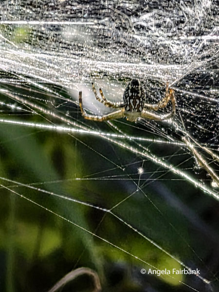 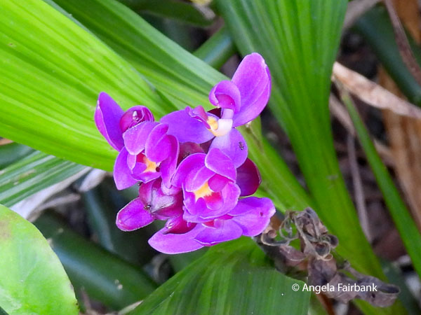 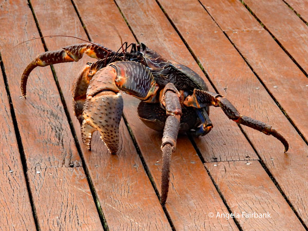 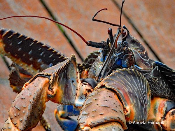 Thursday, July 30, 2026: Niue Island
On our last full day on Niue, we first experienced a plantation tour, hosted by Peter and his daughter Dee at their taro (local pronunciation talo) plantation. Peter showed us how he harvested his plants, regrew new plants, and wove coconut palm fronds into baskets to carry his harvested taro home or to the market. To dig into the hard soil, he used an instrument made of iron called a koho. He also used this tool to carry the basket over his back. I wandered off at some point to photograph some spiders I had seen earlier and when I got back, I found Peter with a large blue coconut crab (locally known as Uga) about 1 to 2 years old that he had trapped in a trap, i.e. a coconut with a rectangular opening for the crab to crawl inside. We also saw this metal trap lying on the ground, which Peter informed us he used to trap feral chickens, which would chew on taro plants from the lower part and thus stop them from growing. We then partook of some 'morning tea' presented on natural taro-leaf plates and supplied by Dee and the three women drivers, Michelle, Vanessa ... and Esita, originally from Fiji. Curious about the flowers they were wearing behind their ears, I asked which of them were married and which were not. They then realised some of them had their flowers in the wrong ear but confessed they put them in the respective ear they had because the flowers actually fit there better. However, the mnemonic to remember is 'Left if you're looking, right if you're cooking.' The 'tea' itself consisted of corned beef on buns, pawpaw (papaya) and passion fruit, four types of bananas, cucumbers, and pieces of coconut, as well as water and coconut water. We had recently had breakfast, so unfortunately did not do their offerings justice. It was here that I photographed this Polynesian Triller (Lalage maculosa whitmeei) and this Crow butterfly (Euploea lewinii perryi). 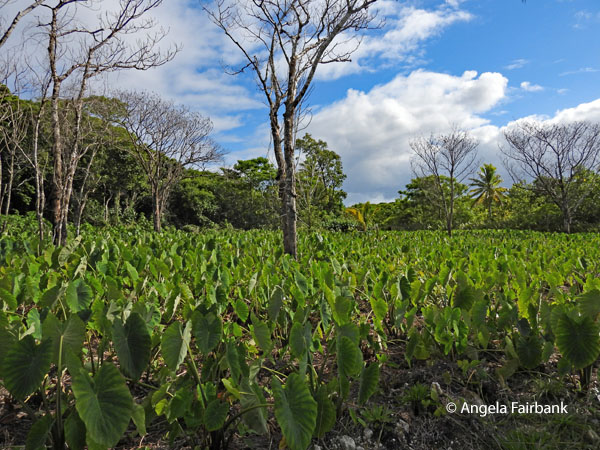 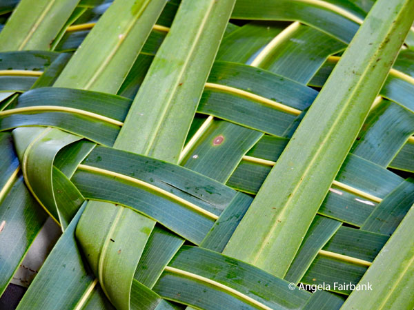 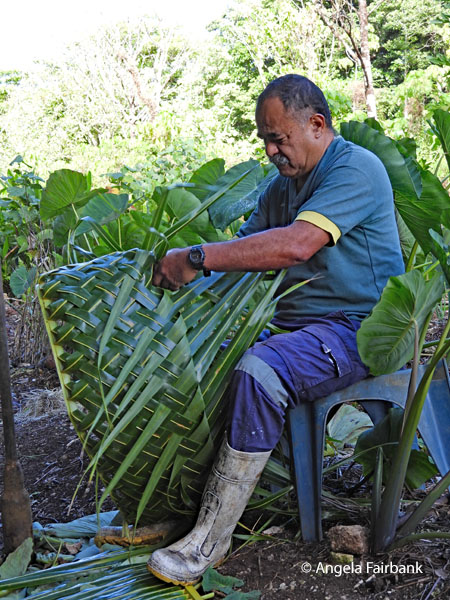 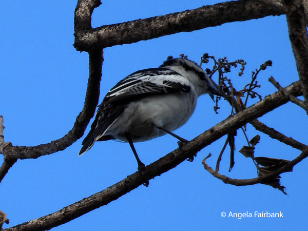 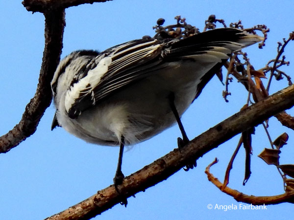  Next, removing our shoes beforehand, we stepped inside Fale Tau Taoga, the cultural centre and national museum of Niue. Opened on October 19, 2018, it replaced the original building that had been destroyed in Category 5 Tropical Cyclone Heta in January 2004, losing roughly 90% of the island nation's artifacts and vital historical records. Many of the current curated exhibits were donated and we were not allowed to take photos. The museum had been built in the shape of Niue. I would like now to cite three of the exhibit explanations, which reminded me of things I had seen in Samoa and other countries prior to Niue. The first was the Tapa cloth locally called Hiapo, the making of which had been demonstrated to us in Samoa; second was the nose flute, which had been played for us in Samoa; and third, the preparation of Pandanus leaves for weaving, as demonstrated here in Niue.
 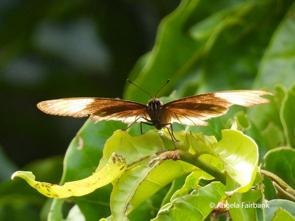 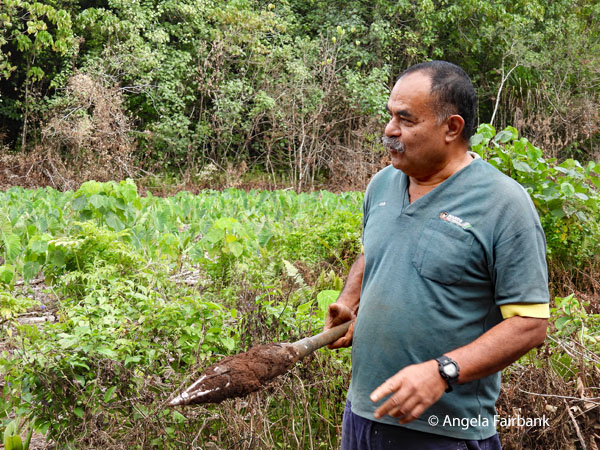 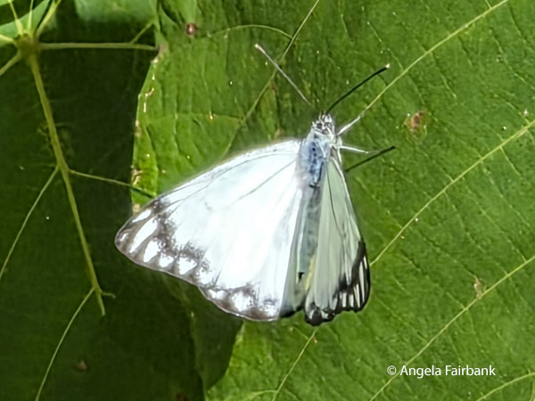 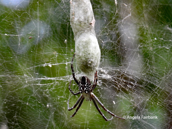 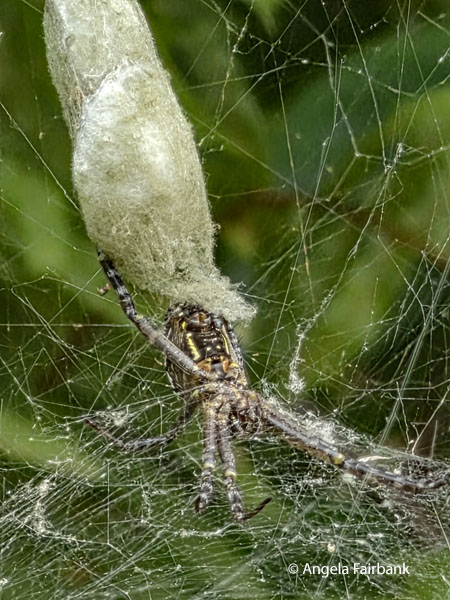 “Before the introduction of paper mulberry plants (Broussonetia papyrifera), Niue people made hiapo from the bark of ata (Ficus tinctoria) and ovava (banyan tree/Ficus prolixa). The inner bark of the plant is stripped, soaked in water, and then beaten with a small wooden club (tutu hiapo) on a log until it spreads out thinly. Each strip is then left out to dry in the sun. Arrowroot paste is used to stick each strip of processed bark together to make the hiapo. It is also pasted together in layers to make a thick blanket for warmth. Hiapo was used as clothing before the introduction of European fabrics, and Niue warriors wrapped the hiapo cloth called potiki around their heads as a form of protection when going to war. The production of hiapo heightened in the 1860s and became more of a commodity in the late 1890s rather than a work of art and was sold to or gifted to visiting dignitaries.”
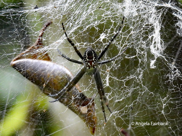 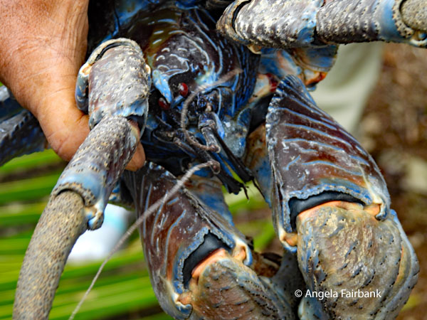 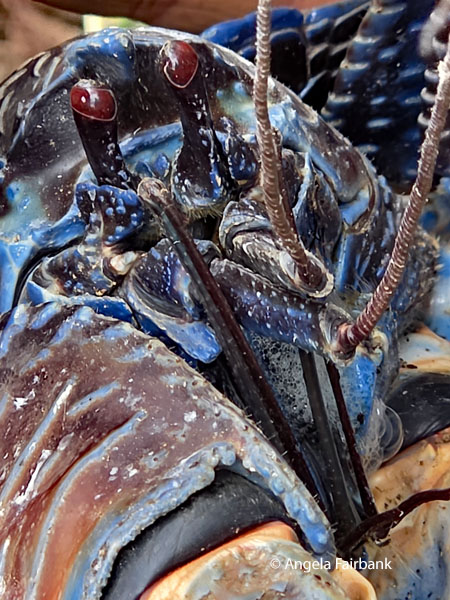 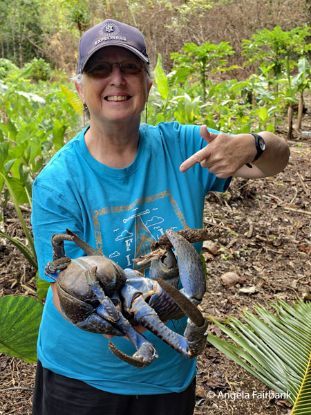 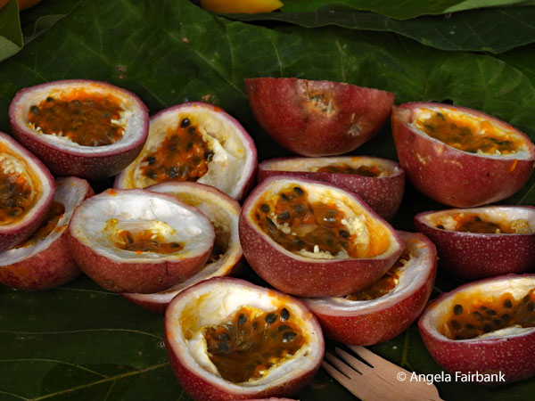 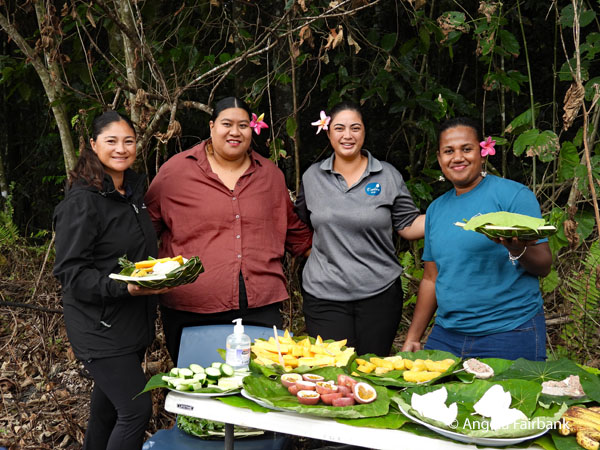 “Traditionally made from the branch of a pao tree (Neisosperma oppositifolium) found [in] coastal areas but also made from the stem of a bamboo plant (not native to Niue), [the nose flute] has three holes on the side, with one open end and one plugged end...”
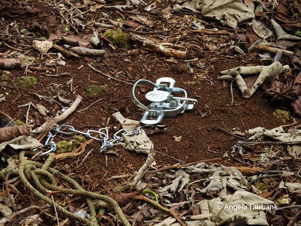 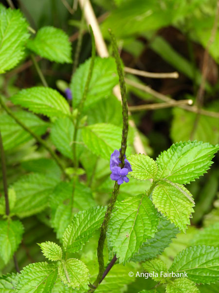 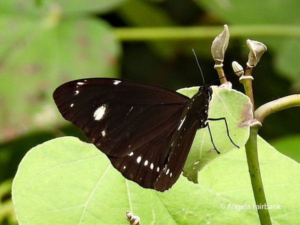 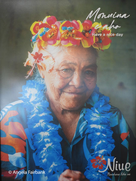 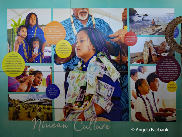 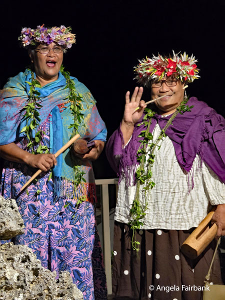 “The women have a plantation where they cultivate pandanus for weaving. When the leaves are long and matured, they are harvested and processed. There are several methods to process pandanus leaves, which include boiling, baking, and drying naturally. Depending on the process, the leaves will turn into a variety of colours, ranging from dark brown to creamy white. Other colours can be achieved by adding coloured leaves, tree roots, and bark, or in more recent times, coloured dye added during the boiling process. These different colours would be used to spell out words or create intricate patterns within the weaving.”
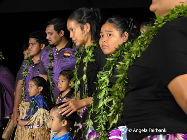 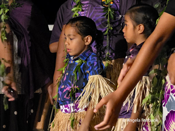 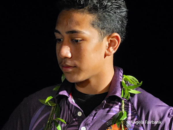 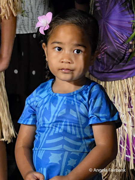 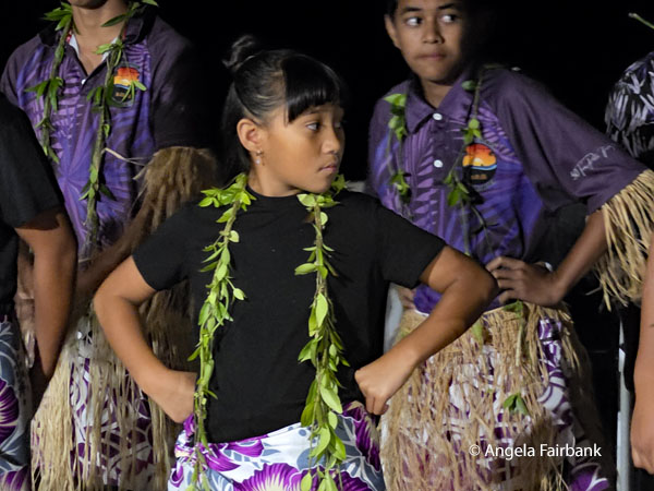 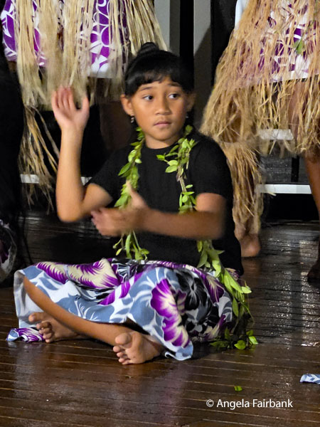 We then dropped briefly into Vanessa's diving operation as she had some business to take care of. The site also contained cabins for visitors, most of whom seemed to be Kiwis interested in scuba diving and whale watching. Our final stop was in Alofi Village, where we were able to visit the Information Centre and shop for souvenirs. Disappointingly, we did not find anything among the available mementos we had not already seen yesterday, so ended up not buying anything. These two posters were in the Information Centre, and I was interested to learn about boys' hair-cutting tradition. “The traditional ceremony for a boy is his 'Haircutting ceremony,' when his long hair that has never been trimmed before is cut off. Guests invited to the concurrent feast contribute money to a fund that goes to the boy after the celebration costs are paid. These ceremonies are of immense importance to Niueans, as they mark a child's 'coming of age' - spiritually if not literally, since it can happen at any point in a child's life. These ceremonies are private in meaning but open to all, and Niueans generally welcome tourists, even as onlookers if they wish to observe. For girls, there is a similar 'Ear Piercing' ceremony.” As I initially read the text, a figurative bell rang in my brain: I had heard of this tradition somewhere else in the world fairly recently. Ah! I remember now. It was Mongolia. This may prove the theory that the Polynesians came from Asia.
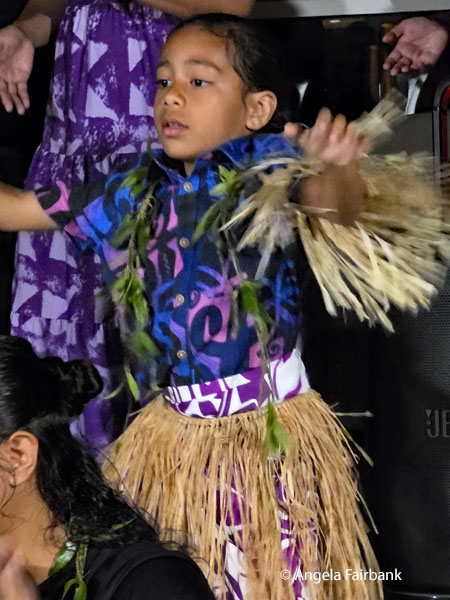 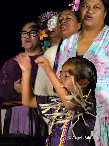 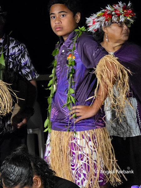 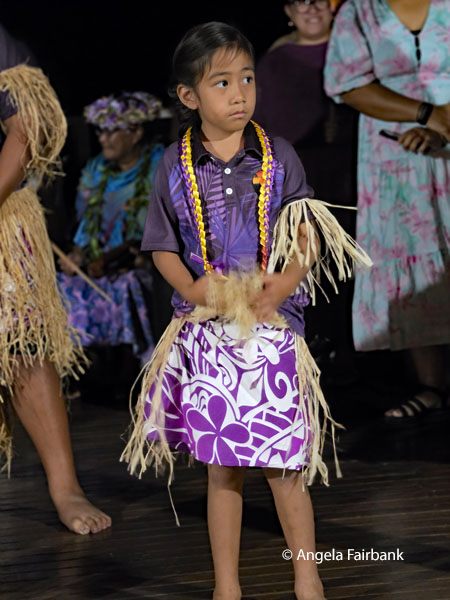 We returned to the hotel in the early afternoon, and I was able to eat my slices of pizza I had saved in the fridge from last night's dinner. I then transferred my photos to my laptop and rested on the patio for a bit before going to our final buffet dinner on Niue, featuring local dishes, including a large roast pig, accompanied by a singer on his ukelele and later by a group of dancers of all ages from one of the island's villages, which happened to be the one that had won the annual rugby games several years in a row.
Friday, July 31, 2026 - Saturday, August 1, 2026: Niue Island to Auckland, New Zealand (36.8492° S 174.7653° E) We had to be out of our rooms by 8:00 a.m. so that the hotel could prepare for the next round of guests arriving from Auckland today, consequently, we had an early breakfast at 8:00 and went to check in our large luggage in shifts as there was only one van operating. I also had the biosecurity office check my woven pandanus hat. The officer looked at it, shook it a few times, and pronounced it free from insects. Had it had any, it would have been doused with insect spray and then a certificate issued which would have cost me almost as much as the hat! We then returned to the resort and sat around the restaurant table chatting until 11:00 a.m. when we went back to the airport in shifts. When I arrived at the outside entry door to security, I saw Evelyn with the extraordinary hair there to say good-bye to us. At that point I realised I had been in a small place long enough to start recognizing people I had met - I had had the same sensation in Nauru and Tuvalu. After passing through security and immigration, we sat at the gate until the flight from New Zealand arrived, watched the new visitors alight and go through immigration, and then were invited onto the plane for a 2:00 p.m. flight. In the interim, I had chatted to another traveller about my age, whose nephew and niece were also in the waiting room. The little boy had long hair so I asked if he would soon be going through his hair-cutting ceremony. She confirmed this and added that they had travelled to Niue from Hawai'i for another niece's ear-piercing ceremony. Monuina e fenoga, seen on the sign as we exited the terminal and walked toward the plane, is a polite and warm phrase used in the Niuean language (Vagahau Niue) and translates as 'blessed trip' or 'safe journey'. Another phrase we learned was Kia Monuina (see you later). I watched a few more movies on the plane and we arrived in Auckland in the dark the next day, August the first - because we had crossed the International Date Line again - after going through a long post-baggage-collection biosecurity check. 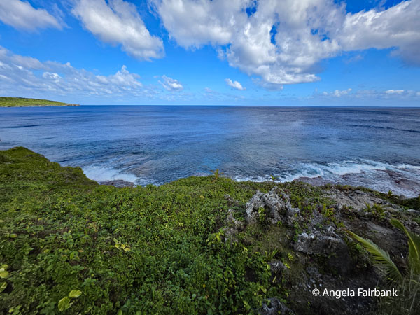 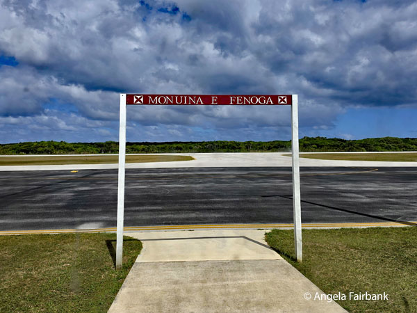 We finally found our bus and driver, Eric, and were driven to our downtown hotel in the complex called SkyCity, adjacent to a 24-hour casino and a 328-metre-high observation tower called the Sky Tower, which features 360-degree observation decks, a SkyJump, and a SkyWalk. We then had to venture out into 2-degree Celsius weather and walk a couple of blocks to our steak house restaurant for our final meal together for which I had pre-ordered salmon and a delicious crème brûlée.
Sunday, August 2, 2026: Auckland, New Zealand As our tour was finally over, we were free to go and have breakfast when we wanted. However, getting to breakfast was a bit complicated as it was in a different hotel of the complex and over a skybridge and then up an elevator to a different floor. Nevertheless, after that was done, I wandered through the halls of the complex, passing the Weta Workshop Unleashed, described as make-believe film sets, focusing on the worlds of horror, fantasy & sci-fi, and the All-Blacks Experience, which is apparently New Zealand's ultimate rugby attraction with immersive tours, haka performances, kids' activities, and official merchandise. I figured when in Rome...so I went to their shop and bought a fridge magnet and a t-shirt. What else? After returning to my room and sending some emails, I decided to check out and take a taxi to my IHG hotel near the airport. I had booked here rather than the tour hotel for my last night because my first flight tomorrow is very early (once again). It is still a few kilometres from the airport, but I should be able to get an 8-dollar shuttle in the wee hours tomorrow morning. The taxi fare was not cheap, but I was able to check into my new hotel early given my IHG status and got down to some more emails and then worked on my final photos for this travelogue and bit of writing. 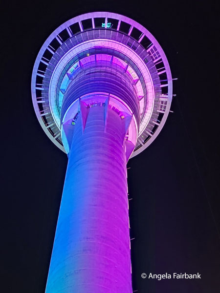  Monday, August 3, 2026: Auckland, New Zealand to Victoria, B.C. (48.4284° N, 123.3656° W) via Sydney, Australia, and Vancouver, B.C., Canada
Unluckily, Qantas and Air Canada are members of different airline alliances, so I was obliged to pay a hefty overweight luggage fee for the Qantas portion of my journey from Auckland to Sydney. Thereafter with Air Canada as a Gold Star Alliance member, my overweight luggage was free. I watched my app as it tracked my luggage from Auckland to Sydney to Vancouver and then to Victoria and it arrived safely despite not bearing a priority luggage label or indeed a heavy luggage label. Due to having arrived in Sydney only an hour before my next flight was to leave and being obliged to go through another security check, I arrived at the gate in Sydney after e-upgrades had been distributed and unfortunately, was not assigned a business class seat. Consequently, I had to sit in an economy seat the entire approximately 15-hour journey. At least I got to relax in the Maple Leaf lounge in Vancouver while I awaited my final flight to Victoria, where I collected my aforementioned luggage, and jumped into a taxi to take me home. Victoria, located on Vancouver Island, which I mention here because it is also an island in the Pacific Ocean, is the capital city of the Canadian province of British Columbia, located on the southern tip of Vancouver Island off Canada's Pacific coast. As the city has a population of 91,867, and the Greater Victoria area has a population of 397,237, the city of Victoria is the seventh most densely populated city in Canada with 4,406 inhabitants per square kilometre (11,410/sq mi). Named for Queen Victoria, the city is one of the oldest in the Pacific Northwest, with British settlement beginning in 1843. The city has retained a large number of its historic buildings, in particular its two most famous landmarks, the Parliament Buildings (finished in 1897 and home of the Legislative Assembly of British Columbia) and the Empress Hotel (opened in 1908). The city's Chinatown is the second oldest in North America after San Francisco. The region's Coast Salish First Nations peoples established communities in the area long before European settlement, which had large populations at the time of European exploration. Known as the Garden City, Victoria is attractive (with the exception of the unfortunate 900 block of Pandora Avenue, the primary epicenter for open drug use and homelessness) and a popular tourism destination and has a regional technology sector that has risen to be its largest revenue-generating private industry. In 2019, Victoria was in the top 20 world cities for quality of life. And now to provide statistics for this tour to the Pacific Islands: Number of islands in the Pacific ocean: 20,000 to 30,000, most of which lie south of the equator. Number of countries or territories I entered and exited on this two-leg trip: 17 Number of countries or territories I had not visited before this trip: 10, of which 8 are United Nations countries Number of flights involved: 28 Number of times I crossed the International Date Line: 6 PLEASE NOTE: The sometimes edited geographical and historical information for each country and general information about their distinct languages comes for the most part from Wikipedia unless indicated otherwise. However, most of the rest I wrote myself. Back to Latest Travelogues page. |
All rights reserved. Website © Angela Fairbank 2005-2026.
|